
Police use drones for various operations, including aerial surveillance, crowd management, and search and rescue missions. Drones provide real-time data and insights from otherwise inaccessible locations, enhancing situational awareness during critical events. They’re effective in traffic accident reconstruction and crime scene investigations, offering high-resolution imagery and accurate mapping capabilities. However, ethical considerations around privacy and data ownership need attention. Understanding how these tools function can further illuminate their impact in law enforcement.
Aerial Surveillance and Monitoring
As law enforcement agencies increasingly adopt drone technology, aerial surveillance and monitoring have transformed the way they gather intelligence and respond to incidents. Drones equipped with advanced aerial technology enable you to capture real-time data from previously inaccessible vantage points. This capability enhances police efficiency, allowing for quicker assessments of situations and informed decision-making. For instance, drones can provide live feeds during critical events, helping officers strategize in real-time. Additionally, aerial monitoring can cover vast areas, reducing the need for extensive ground patrols. As you consider these advancements, it’s essential to balance operational effectiveness with individual privacy rights, ensuring that the use of drones aligns with ethical standards while preserving the freedoms you value. Furthermore, the integration of predictive risk assessment in drone operations can enhance situational awareness and improve response strategies.
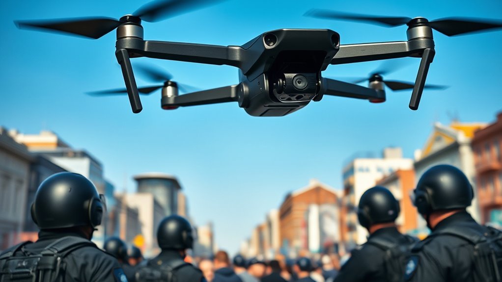
Crowd Management at Events
While managing large crowds at events can pose significant challenges, drones offer a strategic advantage for law enforcement in maintaining safety and order. By utilizing aerial perspectives, drones monitor crowd dynamics in real time, allowing you to identify potential risks and intervene before situations escalate. This capability enhances event safety by providing a thorough view of crowd behavior, movements, and density. Drones can also facilitate communication among officers on the ground, ensuring a coordinated response to any incidents. Additionally, their ability to capture high-resolution video footage aids in post-event analysis, helping you refine strategies for future crowd management. Ultimately, drones empower law enforcement to uphold individual freedoms while ensuring public safety in large gatherings.
Search and Rescue Operations
When time is of the essence in search and rescue operations, drones greatly enhance the efficiency and effectiveness of these missions. Equipped with thermal imaging and high-resolution cameras, drones can quickly cover vast areas, identifying missing persons who might be lost in difficult terrains. Their ability to provide real-time aerial footage allows rescue teams to strategize effectively, optimizing resource allocation. Furthermore, community engagement plays an essential role; local volunteers can assist in disseminating information about the drone’s capabilities, fostering trust and collaboration. Drones not only expedite the search process but also empower communities, ensuring that everyone participates in the effort to locate missing individuals. This collective approach enhances overall mission success and strengthens community ties. Additionally, the incorporation of thermal imaging technology allows for rapid identification of heat signatures, improving the chances of locating individuals in low-light conditions.
Traffic Accident Reconstruction
Drones play a pivotal role in traffic accident reconstruction by providing detailed aerial perspectives that enhance the accuracy of investigations. By capturing high-resolution images and video, they facilitate thorough accident analysis, allowing you to visualize spatial relationships and road conditions that may not be apparent from ground level. This technology streamlines data collection, enabling law enforcement to gather critical information quickly and efficiently. With precise measurements and mapping capabilities, drones help create accurate diagrams of the accident scene, which are essential for understanding the dynamics of the incident. Additionally, the use of advanced algorithms for payload management ensures that drones maintain stability and control while capturing essential data. Ultimately, the integration of drones into traffic accident reconstruction supports a more transparent and effective investigative process, promoting accountability for all parties involved while enhancing public safety. Additionally, drones equipped with advanced sensors and AI-driven stability offer improved control and reliability during accident scene assessments.
Crime Scene Investigation
In a crime scene investigation, the use of drones offers significant advantages in documenting and analyzing the scene. By employing drone technology, you’re able to capture high-resolution aerial imagery, which enhances forensic photography. This aerial perspective can reveal essential evidence that might be overlooked from the ground. Drones facilitate the creation of detailed 3D models of the crime scene, allowing for precise measurements and analysis. Additionally, the ability to survey large areas quickly guarantees that no critical evidence is missed. This technological advancement not only streamlines the documentation process but also supports investigators in reconstructing events with greater accuracy. Ultimately, incorporating drones into crime scene investigations elevates the efficiency and effectiveness of forensic analysis, empowering law enforcement with better tools for justice.
Drug and Human Trafficking Surveillance
In addressing drug and human trafficking, drones enable law enforcement to conduct surveillance operations with heightened efficiency. You’ll find that these aerial tools facilitate the collection of critical evidence, allowing for real-time monitoring of suspicious activities. Their capability to cover large areas makes them invaluable for tracking movements and establishing patterns in trafficking networks.
Surveillance Operations
While traditional surveillance methods often fall short regarding reach and efficiency, law enforcement agencies increasingly rely on drone technology to enhance their operations against drug and human trafficking. Drones equipped with advanced facial recognition capabilities allow you to identify suspects and track their movements in real-time. This technology enables the analysis of patterns in behavior, helping you uncover trafficking networks and predict illicit activities. By leveraging aerial surveillance, you gain a broader perspective of potential hotspots, making it easier to monitor suspicious gatherings or transport routes. Furthermore, drones can access hard-to-reach areas, reducing risks for officers on the ground. Overall, integrating drones into surveillance operations greatly improves tactical decision-making and resource allocation in combating these serious crimes.
Evidence Gathering Techniques
The integration of drones into surveillance operations not only enhances situational awareness but also plays a vital role in evidence gathering for drug and human trafficking cases. These unmanned aerial vehicles provide law enforcement with unique capabilities to collect essential data.
- Capture high-resolution imagery for forensic analysis
- Monitor suspected trafficking routes discreetly
- Gather digital evidence for prosecution
- Identify illegal activities from a safe distance
Wildlife and Environmental Protection
As drones increasingly become integral to policing, their application in wildlife and environmental protection is gaining prominence. By facilitating wildlife conservation and habitat monitoring, drones offer real-time data that enhances law enforcement’s ability to protect ecosystems. Additionally, the use of drones with high-resolution cameras allows for detailed surveillance of remote areas that were previously difficult to monitor.
| Application | Benefits |
|---|---|
| Wildlife Surveys | Reduces human impact |
| Habitat Monitoring | Early detection of threats |
| Anti-Poaching Efforts | Increased surveillance |
| Environmental Assessments | Efficient data collection |
These aerial tools allow you to cover vast areas quickly, identifying illegal activities like poaching or habitat destruction. Utilizing high-resolution cameras and thermal imaging, drones provide insights that traditional methods can’t match. Moreover, advanced drone innovations in automated inspections can significantly improve the efficiency of environmental assessments. As you embrace these technologies, you’ll improve your capacity to safeguard natural resources and guarantee ecological balance.
Emergency Response and Disaster Management
In emergency response scenarios, drones play a critical role in search and rescue operations by providing real-time aerial surveillance. They enhance damage assessment and monitoring, allowing first responders to evaluate affected areas quickly and accurately. This technology not only improves situational awareness but also optimizes resource allocation during disaster management efforts. Additionally, drones can be integrated with real-time data analytics to provide instant insights into evolving threats and assist in effective decision-making. Their advanced sensor technology ensures precise data collection, further supporting effective emergency responses.
Search and Rescue Operations
When disaster strikes, utilizing drones for search and rescue operations can greatly enhance the effectiveness of emergency response teams. Drones provide rapid aerial assessment, improving rescue coordination and increasing the chances of locating missing persons. Their advanced technology can cover vast areas quickly, allowing responders to focus efforts where they’re most needed.
- High-resolution imagery aids in identifying potential victims.
- Thermal sensors detect body heat, even in dense foliage.
- Live video feeds enable real-time decision-making.
- GPS tracking helps coordinate team movements efficiently.
Damage Assessment and Monitoring
Drones play an essential role in damage assessment and monitoring during emergency response and disaster management, providing detailed aerial surveys that streamline the evaluation process. These devices utilize advanced damage assessment techniques, enabling rapid analysis of affected areas. As monitoring technology advancements continue, the data collected allows for real-time updates, ensuring that responders can prioritize resources effectively.
| Feature | Benefit | Example |
|---|---|---|
| Aerial Imagery | High-resolution data | Capturing extensive damage |
| Thermal Imaging | Identifying hot spots | Finding potential fires |
| Automated Flight Paths | Efficient coverage | Mapping large disaster zones |
Ethical Considerations and Privacy Issues
As law enforcement agencies increasingly integrate drones into their operations, ethical considerations and privacy issues have emerged as critical concerns. You might wonder how these technologies impact civil liberties. Here are some key points to reflect upon:
- Surveillance capabilities can lead to unwarranted monitoring of citizens.
- Data collection practices raise questions about consent and ownership.
- Potential misuse of drone footage could infringe on individual rights.
- Lack of regulation may result in inconsistent application of surveillance policies.
These ethical implications and privacy concerns necessitate a delicate balance between public safety and personal freedoms. As you engage with this technology, it’s crucial to advocate for transparency and accountability to guarantee that civil liberties aren’t compromised in the name of security. Furthermore, understanding local drone regulations is essential to ensure responsible usage and protect citizens’ rights during surveillance operations.
Frequently Asked Questions
What Types of Drones Are Commonly Used by Police Departments?
You’ll find police departments commonly using surveillance drones for monitoring large areas and tactical drones for specific operations. These technologies enhance situational awareness while balancing the need for public safety and individual freedom considerations.
How Are Drone Operators Trained for Police Work?
When it comes to drone operators’ training, you’ll find a focus on drone certification and tactical training. These programs guarantee proficiency, precision, and preparedness, equipping you with essential skills for effective and efficient aerial operations in law enforcement.
What Laws Govern Police Drone Usage?
When considering police drone usage, you’re faced with drone regulations that guarantee accountability. These laws address privacy concerns, balancing law enforcement’s needs with the public’s right to freedom from unwarranted surveillance and intrusion.
How Do Police Ensure Data Collected Is Secure?
Securing data collected is like locking valuable treasures in a vault. Police employ data encryption and strict privacy protocols, ensuring information remains confidential and protected from unauthorized access, all while respecting individual freedoms and rights.
Can Citizens Request Access to Police Drone Footage?
Yes, citizens can request police drone footage under public access laws, but privacy concerns may limit availability. It’s essential to understand the balance between transparency and individual rights when managing these requests.
