
Knowing where to fly your drone safely and legally involves understanding airspace regulations and utilizing mapping tools to identify suitable locations. By leveraging drone mapping applications and engaging with local communities, drone enthusiasts can optimize their flying experience while adhering to legal requirements. This comprehensive guide will help you explore your options for drone flying, ensuring that you can enjoy your hobby responsibly.
Understanding Drone Regulations

Flying a drone in the United States is governed by regulations set forth by the Federal Aviation Administration (FAA). The FAA requires drone operators to register their devices if they weigh more than 0.55 pounds and provides guidelines for flying under 400 feet, away from populated areas, and respecting the privacy of individuals. Additionally, pilots must avoid flying near airports or in restricted airspace without proper authorization. Understanding these regulations is vital not just for compliance but also for ensuring the safety of both the operator and the public.
Local laws may further restrict drone operations, varying from city to city or state to state. Some municipalities have implemented additional regulations that place limits on where drones can be flown, particularly in parks, urban areas, or near sensitive sites like schools and hospitals. Therefore, it’s imperative to check local ordinances before planning any flight. Familiarizing yourself with both federal and local regulations is the first step in a responsible flying journey.
Utilizing Drone Map Apps

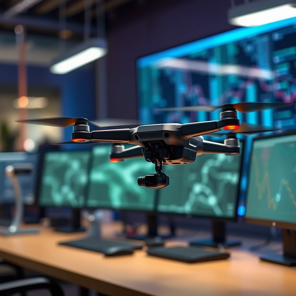
One of the most effective ways to locate drone-friendly areas is by utilizing drone map applications. Popular apps such as AirMap and DJI Fly provide real-time information about airspace restrictions, no-fly zones, and weather conditions. AirMap, for instance, offers a user-friendly interface that allows you to see airspace classifications and any temporary flight restrictions (TFRs) in your area. DJI Fly not only helps pilots map out safe flying zones but also provides pre-flight checklists that are crucial for ensuring compliance with regulations.
When selecting a drone map app, look for features such as real-time updates, interactive maps, and alerts for changes in airspace regulations. Some applications even include community-driven features that allow users to report local flying conditions or restrictions. By using these tools, drone operators can have peace of mind knowing that they are flying in accordance with the latest regulations and enjoying a seamless flying experience.
Checking No-Fly Zones
No-fly zones are specific areas where drone operations are prohibited due to safety, security, or privacy concerns. These may include regions around airports, military bases, national parks, and other sensitive locations. Understanding where these zones are located is crucial for avoiding potential legal issues and ensuring public safety. The FAA provides a map of these zones, which can be accessed through their website or various drone mapping apps.
In addition to FAA resources, local aviation authorities may have additional restrictions that need to be considered. Websites like SkyVector and Airmap can provide detailed information regarding no-fly zones in your area. Always verify your intended flight path against these resources to avoid unintentional violations, which can lead to fines or the confiscation of your drone.
Community Resources and User Maps
Engaging with local drone communities can be incredibly beneficial for discovering great flying spots and obtaining insights about recent changes in airspace regulations. Online forums, social media groups, and local drone clubs often share valuable information about where to fly, including user-generated maps that highlight popular locations. Websites like Meetup and Facebook Groups can help connect you with fellow drone enthusiasts in your region.
These community resources not only provide insights about preferred flying spots but also create opportunities for collaboration and knowledge sharing. Members often discuss their experiences, recommend locations based on recent weather conditions, and notify each other about any new developments in local drone laws. By participating in these communities, you can enhance your flying experience and stay informed about the latest trends and regulations.
Planning Your Flight
Properly planning your drone flight is essential for ensuring a successful experience. Start by checking the weather conditions, as factors like wind speed and precipitation can significantly affect your flight. A calm day with good visibility is preferable for a safe and enjoyable flying experience. Additionally, consider the time of day, as flying during dawn or dusk may present challenges due to changing light conditions.
Another critical aspect of flight planning is understanding the airspace classes in your area. The U.S. airspace is divided into several classes (A through G), each with different regulations regarding altitude and proximity to other aircraft. For example, Class B airspace surrounds major airports and requires specific permissions to fly. Before taking off, ensure you have verified the airspace class for your intended flight and any altitude restrictions that may apply. This preparation will not only enhance your flying experience but also ensure compliance with regulations.
Safety Considerations
Safety should always be a priority when flying your drone, particularly in populated areas. Best practices include maintaining a visual line of sight with your drone at all times and avoiding flying over private property without permission. Additionally, be mindful of obstacles, such as trees and buildings, which can pose risks during flight. It’s advisable to have a spotter if you are flying in a busy area, as they can help alert you to potential hazards.
Moreover, understanding the capabilities and limitations of your drone is crucial. Each model has specific flight ranges, battery life, and payload capacities that can affect safety. Familiarize yourself with these specifications and conduct pre-flight checks to ensure that your drone is in good working condition. By prioritizing safety, you can help mitigate risks and enjoy peace of mind while flying.
Where to Find Additional Resources
For up-to-date information on drone regulations, the FAA website is an invaluable resource, providing comprehensive guidelines on safe flying practices, registration, and airspace classifications. Local aviation authorities may also have specific regulations that can be found on their respective websites. Additionally, consider enrolling in online courses or tutorials that focus on enhancing your drone flying skills. Platforms like Udemy and Skillshare offer courses tailored to various skill levels and can significantly improve your operational knowledge.
Participating in workshops or attending drone expos can also provide firsthand experience and networking opportunities with other drone operators. These resources can enhance your understanding of drone technology and regulations, allowing you to become a more responsible and informed pilot.
In conclusion, knowing where you can fly your drone is crucial for safe and enjoyable flying. By utilizing drone mapping tools, understanding regulations, and connecting with the drone community, you can discover the best locations to take your drone to the skies. Always stay informed about airspace regulations, plan your flights meticulously, and prioritize safety to ensure a positive and responsible flying experience.
Frequently Asked Questions
What are the best online maps to find where I can fly my drone?
The best online maps for determining where you can fly your drone include apps like Airmap, Kittyhawk, and DroneBuddy. These platforms provide real-time information on airspace regulations, no-fly zones, and temporary flight restrictions, ensuring that you are compliant with local laws. Always check these resources before flying to stay updated on any changes in airspace regulations.
How can I check if a location is legal for drone flying?
To check if a location is legal for drone flying, you can use tools such as the FAA’s B4UFLY app or other drone-specific mapping services like AirMap. These tools allow you to input your flight location and review airspace classifications, including any restricted zones, such as near airports or military installations. It is essential to verify this information before each flight to avoid legal issues.
Why is it important to know where I can fly my drone?
Knowing where you can fly your drone is crucial for safety, legality, and compliance with aviation regulations. Flying in restricted areas can lead to hefty fines and legal repercussions, while also posing risks to manned aircraft and people on the ground. By understanding the designated flying zones, you can enjoy your drone activity without jeopardizing public safety or your legal standing.
Which drone apps provide the most accurate flying location information?
Some of the most accurate drone apps for flying location information include Airmap, Skyward, and UAV Forecast. These apps not only provide data on airspace regulations but also include weather forecasts, live traffic updates, and community reports, which can enhance your flying experience. Utilizing these apps can significantly improve your ability to plan safe and legal drone flights.
What should I do if I’m unsure about flying my drone in a specific area?
If you’re unsure about flying your drone in a specific area, start by consulting the local regulations through apps like B4UFLY or AirMap. Additionally, consider reaching out to local drone clubs or communities for insights on the area. If still in doubt, it’s best to err on the side of caution and choose an alternative location that you know is compliant with flying regulations.
References
- https://en.wikipedia.org/wiki/Drone
- https://www.faa.gov/uas/recreational_flyers/
- https://www.nps.gov/subjects/drones/index.htm
- https://www.ama-flights.com/
- https://www.droneadvocacy.org/
- https://www.faa.gov/uas/advanced_operations/
- https://www.nasa.gov/mission_pages/airborne/drones.html
- https://www.nature.com/articles/s41598-020-61047-4
- https://www.surfrider.org/initiatives/drone-ethics-and-best-practices
