
Yes, you can track a drone using various methods, including GPS technology and visual tracking techniques. Understanding these methods can help you monitor drone activities effectively and ensure safety in shared airspace. As drones become increasingly common in both recreational and commercial applications, the need for effective tracking systems has become more pronounced. This comprehensive guide explores the technologies and methods available for tracking drones, the legal considerations involved, and best practices to ensure compliance and effectiveness.
Understanding Drone Tracking Technology
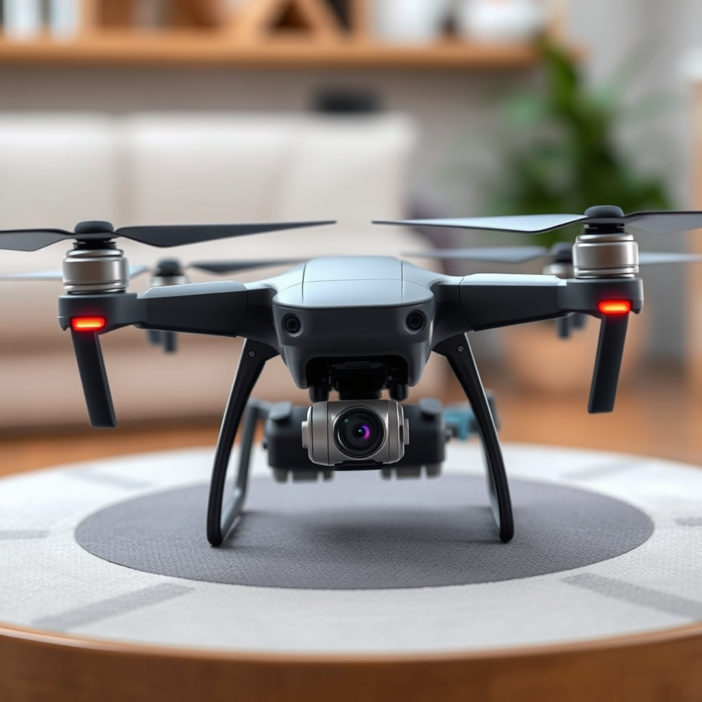
Drones, or unmanned aerial vehicles (UAVs), typically rely on Global Positioning System (GPS) technology for precise positioning and navigation. GPS allows users to pinpoint a drone’s location in real time, providing vital data that can be used for safety, regulation, and operational efficiency. Many drones are equipped with built-in tracking features accessible via specific mobile applications, making it easier for users to monitor their flight paths. These applications often provide additional functionalities, such as telemetry data, flight logs, and alerts for no-fly zones.
Moreover, advancements in drone technology have led to the development of more sophisticated tracking systems. For instance, some commercial drones now include features like geofencing, which prevents them from flying into restricted areas, thereby enhancing safety and compliance. Understanding the underlying technology is key to effectively utilizing tracking methods.
Methods for Tracking Drones
– GPS Tracking: The most prevalent method for tracking drones is GPS. Most modern drones are equipped with GPS receivers that allow for real-time location tracking. Users can view the drone’s position on maps through associated mobile apps. This method is beneficial for both recreational users, who want to keep track of their drones, and commercial operators, who may need to comply with regulatory requirements.
– RFID Technology: RFID (Radio Frequency Identification) is another method that can serve specific needs, especially in regulated environments such as airports or sensitive areas. Some drones come with RFID tags that can be scanned to provide identification and tracking information. This method can enhance security and facilitate airspace management, particularly in scenarios involving multiple drones operating in close proximity.
– Visual Tracking: In addition to technological methods, visual tracking techniques can also be employed. While less precise, visual tracking involves using binoculars or telescopes to monitor drone activity. This method can be particularly useful in environments where GPS signals are weak or when tracking smaller, less sophisticated drones that may not have advanced tracking capabilities.
Legal Considerations for Tracking Drones
Tracking a drone may involve legal implications depending on local laws and regulations. In many jurisdictions, the operation of drones is strictly regulated to ensure public safety and privacy. For instance, in the United States, the Federal Aviation Administration (FAA) has established guidelines that govern drone usage, including where and how drones can be operated. Tracking a drone without the consent of the operator could potentially violate privacy laws and lead to legal repercussions.
It is crucial to familiarize yourself with local regulations before engaging in drone tracking. This includes understanding any necessary permits, operational restrictions, and privacy considerations. For organizations that operate drones for commercial purposes, compliance with these regulations is not just a legal obligation, but also a vital component of maintaining public trust and safety.
Tools and Apps for Drone Tracking
Several tools and mobile applications can facilitate drone tracking, providing users with real-time data and historical flight information. Popular platforms include:
– Airdata UAV: This app allows drone operators to log and analyze flight data, providing insights into drone performance and tracking capabilities. Users can access information such as location, altitude, and speed, which can be invaluable for operational assessments.
– DroneLogbook: This comprehensive tool is designed for commercial drone operators, offering features for flight logging, compliance tracking, and maintenance scheduling. It allows users to keep detailed records of their drone operations, including tracking data.
– Find My Drone: Many drone manufacturers offer proprietary apps that include tracking features, such as DJI’s “Find My Drone” function. This app helps users locate their drone if it goes out of range or encounters a malfunction.
These tools not only enhance the tracking process but also contribute to safer drone operations by providing essential data for analysis and decision-making.
Challenges in Tracking Drones
Despite the advancements in drone tracking technology, several challenges still exist. Environmental factors, such as buildings, trees, and weather conditions, can interfere with GPS signals, leading to inaccuracies in tracking. Additionally, some drones are designed with stealth features to evade detection, making them harder to track.
Another challenge is the potential for drones to operate outside of tracking range. In remote areas where cellular signals are weak or nonexistent, real-time tracking may become impossible. Furthermore, the rapid pace of technological advancement in the drone industry means that tracking systems must continuously evolve to keep up with new models and features.
Best Practices for Drone Tracking
To ensure effective drone tracking, it is advisable to adopt several best practices:
– Use Multiple Tracking Methods: Relying on a single method may not provide accurate results. By combining GPS tracking with visual and RFID techniques, users can enhance their tracking capabilities and mitigate potential inaccuracies.
– Stay Updated on Local Regulations: Regularly review local laws and regulations regarding drone operations and tracking. This knowledge will help ensure compliance and avoid legal issues.
– Invest in Quality Tools and Apps: Utilizing high-quality tracking tools and apps can greatly enhance the effectiveness of your tracking efforts. Evaluate different options based on user reviews, features, and compatibility with your drone model.
– Educate Yourself on Drone Technology: Understanding the latest advancements in drone technology can provide insights into how to track them more effectively. Stay informed about new features and capabilities that may enhance tracking efforts.
In conclusion, tracking a drone is feasible through various methods, primarily leveraging GPS technology and specialized apps. Understanding the legal landscape and challenges involved can enhance your tracking efforts. For those interested in monitoring drone activity, consider exploring the recommended tools and best practices to stay informed and compliant. Effective drone tracking not only promotes safety in shared airspace but also empowers users to make data-driven decisions regarding their drone operations.
Frequently Asked Questions
Can you track a drone in real-time?
Yes, you can track a drone in real-time using various methods. Many modern drones are equipped with GPS technology that allows users to monitor their location through a smartphone app or dedicated controller. Additionally, tracking software and third-party applications can be utilized to locate drones, particularly in the case of lost or stolen devices.
How can I find my lost drone?
If you’ve lost your drone, there are several practical steps to take to help locate it. First, use the drone’s built-in GPS tracking feature, if available, to pinpoint its last known location. If that’s not an option, try retracing your flight path, checking the area visually, and using a drone finder app that may help detect its signal. Additionally, you can enlist the help of local drone communities or forums for advice.
Why is it important to track a drone?
Tracking a drone is crucial for several reasons, including safety, security, and compliance with regulations. It allows operators to ensure their drones do not stray into restricted airspace or pose a risk to people and property. Furthermore, in case of theft or loss, tracking can facilitate recovery efforts, making it an essential feature for responsible drone ownership.
What are the best apps for tracking drones?
Some of the best apps for tracking drones include DJI’s Fly app for DJI drones, which offers real-time location data, and AirMap, which provides flight planning and tracking features. Other popular options include DroneLogbook and Flytrex, both of which enhance tracking and logging capabilities for drone enthusiasts and professionals alike. These apps not only help with tracking but also provide valuable insights into airspace regulations.
Which drones have built-in tracking features?
Many modern drones come equipped with built-in tracking features, particularly those from reputable manufacturers. For example, DJI models like the Mavic Air 2 and Phantom 4 Pro have GPS tracking capabilities that allow users to monitor their flight paths. Other brands like Autel Robotics and Parrot also offer drones with integrated tracking systems, making them ideal for users who prioritize safety and recovery options.
References
- https://en.wikipedia.org/wiki/Drone_tracking
- https://www.faa.gov/uas/resources/policy_library/
- https://www.nist.gov/news-events/news/2021/06/nist-research-improves-drone-tracking-technology
- https://www.sciencedirect.com/science/article/pii/S2352864821000059
- https://www.theguardian.com/technology/2022/mar/21/drones-what-you-need-to-know
- https://www.bbc.com/news/technology-56415815
- https://www.ncbi.nlm.nih.gov/pmc/articles/PMC7074167/
