
Yes, you can fly a drone at Pikes Peak, but there are specific regulations and guidelines you must follow to ensure safety and compliance. The area has unique rules aimed at protecting wildlife and the natural environment, so it’s essential to be informed before you take off. Understanding these regulations will not only help you avoid legal issues but also contribute to preserving the stunning landscape and its inhabitants.
Understanding Drone Regulations in Colorado

In Colorado, drone usage is primarily governed by the Federal Aviation Administration (FAA), which sets the baseline rules for operating unmanned aerial vehicles across the United States. These regulations include maintaining a maximum altitude of 400 feet above ground level, flying only during daylight hours, and keeping your drone within visual line-of-sight. However, it’s crucial to note that local laws can impose additional restrictions that may further regulate drone operations, especially in environmentally sensitive areas or locations with heavy foot traffic.
For instance, Colorado has enacted laws that restrict drone use in certain urban areas and around specific facilities like schools and hospitals. Therefore, if you’re planning to fly a drone at Pikes Peak, it’s essential to familiarize yourself with both federal regulations and any local ordinances that may apply.
National Park Restrictions
Pikes Peak is a prominent feature of the Pike National Forest, which falls under federal jurisdiction. The National Park Service (NPS) maintains strict regulations regarding drone flights in national parks and forests. Generally, flying drones is prohibited in these locations to minimize disturbances to wildlife and preserve the natural landscape.
For those wanting to capture aerial footage or conduct research using drones in such areas, special permissions are required. The process typically involves submitting a request to the NPS, which reviews applications on a case-by-case basis. These restrictions are designed to protect the diverse ecosystems within national parks, and understanding them is crucial for any drone pilot looking to fly in these breathtaking areas.
Safety Considerations for Drone Pilots
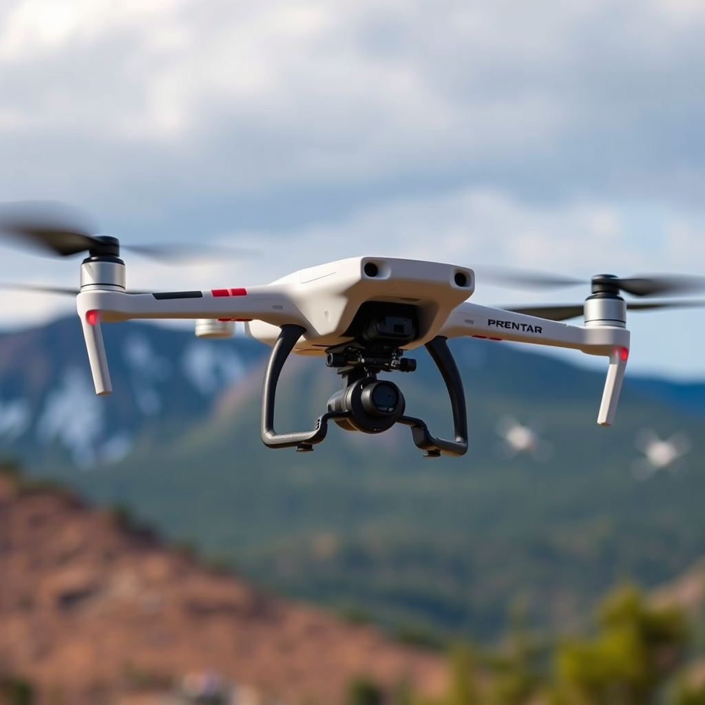
Safety should always be a top priority when operating drones, especially in natural settings like Pikes Peak. Pilots are required to maintain visual line-of-sight with their drone at all times. This practice ensures that you can monitor your drone’s flight path and surroundings, reducing the risk of collisions with other aircraft or wildlife.
Additionally, avoid flying near crowds, wildlife, or sensitive ecological areas to minimize disturbances. For example, Pikes Peak is home to various species, including mountain goats and a range of bird species, many of which can be easily startled by the noise and movement of a drone. By respecting these natural habitats, you contribute to the conservation efforts aimed at protecting these species and their environments.
Best Practices for Flying Drones
If you decide to fly a drone at Pikes Peak, adhering to best practices is essential. First, ensure you register your drone with the FAA if it weighs more than 0.55 pounds. This registration process is straightforward and can typically be completed online. Having your drone registered not only complies with the law but also aids in the recovery of your drone should it become lost.
Furthermore, consider obtaining liability insurance. While not legally required, having insurance provides peace of mind and financial protection in case of accidents or damages caused by your drone. Some insurance policies even cover damages to your drone itself, which can be invaluable in the event of an unexpected mishap.
Alternatives to Flying at Pikes Peak
If you’re looking for places to fly drones without the stringent regulations of national parks, consider exploring nearby areas where drone flying is permitted. Many open spaces and private lands in Colorado allow drone use, provided you adhere to local regulations.
For example, there are various state parks and recreational areas around Colorado Springs that might offer more flexible drone policies. Researching these locations can enhance your flying experience while still allowing you to enjoy the stunning landscapes Colorado has to offer.
Planning Your Drone Flight
Effective planning is vital for a successful drone flight, especially in high-altitude areas like Pikes Peak. Before you head out, check the weather conditions, as winds can be unpredictable and may affect your drone’s performance. High altitudes can also impact battery life, so ensure you have the right equipment that can handle the elevation.
Additionally, familiarize yourself with the area by reviewing maps and identifying any restricted zones. This preparation will help you avoid accidentally entering no-fly zones, ensuring a smooth and enjoyable flight experience. Having a well-thought-out flight path will also allow you to capture the breathtaking scenery without compromising safety or compliance.
In conclusion, while flying a drone at Pikes Peak is possible under specific conditions, it’s crucial to respect local regulations and environmental guidelines. By understanding the rules governing drone use, planning your flights carefully, and prioritizing safety, you can ensure a rewarding experience that respects the breathtaking natural beauty of Pikes Peak. Always conduct thorough research and prepare adequately to enjoy a safe and memorable flight experience.
Frequently Asked Questions
Can you legally fly a drone at Pikes Peak?
Yes, you can legally fly a drone at Pikes Peak, but there are specific regulations you must adhere to. The area is managed by the U.S. Forest Service, and you need to follow both federal and state drone laws, including the FAA’s guidelines for recreational and commercial drone operations. Always check for any temporary flight restrictions and obtain necessary permits if needed.
What are the altitude restrictions for flying a drone at Pikes Peak?
When flying a drone at Pikes Peak, you must adhere to the FAA’s altitude restriction of not flying above 400 feet above ground level. However, due to the mountainous terrain, it’s vital to maintain a clear line of sight and be aware of your surroundings, as altitude may affect your drone’s performance. Always check local regulations for any additional restrictions.
How can I ensure the safety of my drone while flying at Pikes Peak?
To ensure the safety of your drone while flying at Pikes Peak, conduct a pre-flight check that includes verifying battery levels, GPS connectivity, and ensuring your firmware is updated. Be mindful of weather conditions, as high winds and rapid weather changes can affect drone stability. Additionally, avoid flying near crowded areas, wildlife, and sensitive locations to prevent accidents.
Why is it important to check local regulations before flying a drone at Pikes Peak?
Checking local regulations before flying a drone at Pikes Peak is crucial to ensure compliance with legal requirements and to avoid fines or penalties. Different areas may have unique restrictions, such as no-fly zones, wildlife protection areas, and specific flying times. Understanding these regulations helps promote responsible drone use and protects the natural environment.
What is the best time of day to fly a drone at Pikes Peak for photography?
The best time of day to fly a drone at Pikes Peak for photography is during the golden hours, which are shortly after sunrise and before sunset. During these times, the soft lighting enhances the landscape, creating stunning visuals and reducing harsh shadows. Additionally, early mornings typically have less wind and fewer crowds, making it easier to capture breathtaking aerial shots.
References
- https://www.fs.usda.gov/detail/arp/home/?cid=FSEPRD789786
- https://www.colorado.gov/pacific/sites/default/files/Drones%20in%20Colorado%20-%20FAQs.pdf
- https://www.nps.gov/articles/drone-regulations.htm
- https://www.colorado.edu/engineering/
- https://www.denverpost.com/2021/08/31/colorado-drones-regulations/
