
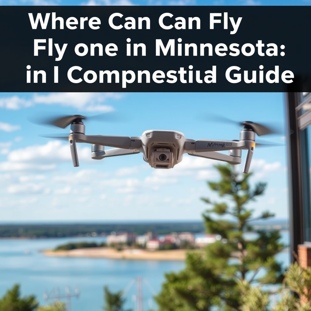
You can fly your drone in Minnesota in various locations, including parks, open fields, and remote areas, as long as you follow FAA regulations and local laws. This guide will help you identify the best spots and understand the rules for flying drones safely and legally in the state. Minnesota, with its diverse landscapes ranging from serene lakes to dense forests, offers drone enthusiasts a wealth of opportunities to capture stunning aerial imagery. However, to fully enjoy these experiences, it is crucial to be informed about the regulations and best practices that govern drone usage in the state.
Understanding FAA Regulations

When flying a drone in Minnesota, it is imperative to adhere to the Federal Aviation Administration (FAA) regulations that ensure safety and compliance with national airspace rules. One of the primary regulations is that drones must be flown below 400 feet and remain within the pilot’s visual line of sight at all times. This is designed to prevent collisions with manned aircraft, which typically operate at higher altitudes.
Additionally, any drone weighing over 0.55 pounds (approximately 250 grams) must be registered with the FAA. Registration is a straightforward process that can be completed online, and it is valid for three years. Pilots should also be aware of Temporary Flight Restrictions (TFRs) that may apply to specific areas, especially near airports or during special events. Checking the FAA’s website or using drone flight planning apps can help pilots stay informed about these restrictions.
Understanding these regulations not only keeps you compliant but also enhances the safety of your flying experience, ensuring that you can enjoy the breathtaking views Minnesota has to offer without legal complications.
Popular Drone Flying Locations
Minnesota is home to numerous breathtaking locations that are ideal for drone flying. Here are a few standout spots that every drone pilot should consider:
– Minnehaha Regional Park: Located in Minneapolis, this park features stunning waterfalls, lush greenery, and winding trails, making it a perfect backdrop for aerial photography. The park’s diverse landscapes, including the iconic Minnehaha Falls, provide ample opportunities for capturing dynamic and picturesque shots. Just be mindful of local regulations regarding drone use in park areas.
– Lake Mille Lacs: As one of Minnesota’s largest lakes, Lake Mille Lacs offers vast open waters and stunning natural landscapes. The expansive views from the sky allow for incredible drone photography, particularly during sunrise and sunset when the colors reflect beautifully on the water. The surrounding state parks provide additional scenic vistas for exploration.
– Boundary Waters Canoe Area: This remote wilderness is perfect for those looking to capture the pristine beauty of untouched nature. With thousands of lakes and miles of forested land, the Boundary Waters offer unparalleled opportunities for aerial photography. However, it is essential to check specific regulations, as some areas have restrictions on drone usage to protect wildlife and maintain the tranquility of the environment.
Each of these locations not only provides stunning visuals but also presents unique challenges and considerations for drone operators, making them excellent choices for both novices and experienced pilots alike.
Local Laws and Restrictions
In addition to federal regulations, drone pilots in Minnesota must be aware of local laws and restrictions that may vary by city or county. Many municipalities have enacted specific ordinances that govern drone use, particularly in parks and public spaces. For instance, cities may impose restrictions on flying drones in crowded areas or near events where privacy and safety could be compromised.
Always look for signs that indicate no-fly zones, especially in urban areas or near sensitive locations such as schools, hospitals, and government buildings. It’s also crucial to respect the privacy of individuals when flying near residential neighborhoods. Avoid flying over private property without permission, as this can lead to legal disputes.
Staying informed about local laws is essential for responsible drone operation. Engaging with local authorities or checking city websites can provide valuable insights into the specific regulations that apply to your intended flying locations.
Best Practices for Drone Pilots
To ensure a safe and enjoyable flying experience, it is vital for drone pilots to follow best practices. Conducting a pre-flight check is essential to verify that all equipment is functioning correctly. This includes checking battery levels, ensuring that the propellers are secure, and confirming that the drone’s firmware is up to date.
When flying in crowded areas, using a spotter can significantly enhance safety. A spotter can assist by keeping an eye on the drone and helping to identify potential hazards or obstacles. This is especially important in urban environments where other aircraft, people, and structures are present.
Additionally, always be aware of weather conditions that may impact your flight. Wind, rain, and visibility can all affect drone performance and safety. It’s advisable to avoid flying in adverse weather and to check forecasts before planning a flight. By adhering to these best practices, pilots can mitigate risks and enhance their overall flying experience.
Resources for Drone Enthusiasts
For drone enthusiasts looking to connect with other pilots and stay informed, there are numerous resources available. Joining local drone clubs or online communities can provide valuable tips, advice, and opportunities to meet fellow drone pilots. These communities often share insights about the best flying locations, upcoming events, and changes in regulations.
Using apps like AirMap or UAV Forecast can also aid in planning your flights. These applications provide real-time information on airspace, including TFRs and weather conditions, helping pilots make informed decisions about where and when to fly.
Furthermore, staying updated on changes in regulations and local laws is crucial. The FAA frequently updates its guidelines, and local laws can shift based on community needs. Subscribing to newsletters from the FAA or local drone organizations can keep you informed and in compliance with the latest rules.
Drone Photography Tips
Capturing stunning aerial photographs requires a combination of technical skill and artistic vision. Here are some tips that can help enhance your drone photography:
– Experiment with different angles and times of day to create unique shots. Flying at varying altitudes and perspectives can result in dramatic images that showcase the landscape in new ways. Early morning or late afternoon light often provides the most flattering conditions for photography, casting beautiful shadows and enhancing colors.
– Utilize filters to improve image quality and reduce glare. Polarizing filters can help reduce reflections on water surfaces, while ND filters can enable longer exposure times, allowing for creative effects like smooth water surfaces or blurred motion in clouds.
– Learning basic editing techniques can significantly enhance your aerial photos. Familiarizing yourself with software such as Adobe Lightroom or Photoshop can help you adjust exposure, contrast, and color balance, ultimately transforming your images into stunning visual representations of your aerial adventures.
By applying these photography tips, drone pilots can elevate their skills and produce breathtaking aerial imagery that truly captures the essence of Minnesota’s beautiful landscapes.
In summary, Minnesota offers a diverse array of locations for flying drones, provided that pilots adhere to both federal regulations and local laws. By understanding the rules, exploring popular flying spots, and practicing safety measures, you can enjoy the exhilarating experience of capturing the state’s natural beauty from above. Whether you are a seasoned pilot or just starting, prioritizing safety and respect for privacy will ensure a rewarding and enjoyable drone flying experience in the Land of 10,000 Lakes.
Frequently Asked Questions
What are the regulations for flying a drone in Minnesota?
In Minnesota, drone operators must adhere to both federal and state regulations. At the federal level, the FAA requires all drone pilots to register their drones if they weigh more than 0.55 pounds. Additionally, you must fly below 400 feet, maintain visual line of sight, and avoid flying near airports or people. Minnesota also has specific laws regarding privacy and flying over private property, so it’s important to familiarize yourself with both state and federal guidelines before taking to the skies.
Where are the best places to fly a drone in Minnesota?
Some of the best places to fly a drone in Minnesota include scenic areas like the Boundary Waters Canoe Area Wilderness, where you can capture stunning lakes and forests from above. State parks like Itasca State Park and Fort Snelling State Park also offer breathtaking landscapes. However, always check for any local regulations or restrictions at these locations, as some parks may have designated no-fly zones to protect wildlife and ensure visitor safety.
How do I find no-fly zones for drone flying in Minnesota?
To find no-fly zones in Minnesota, you can use the FAA’s B4UFLY app, which provides up-to-date information on airspace restrictions, temporary flight restrictions, and other important safety notices. Additionally, checking local ordinances and park regulations is crucial, as certain areas like stadiums, schools, and military installations may have specific rules against drone operation. It’s essential to always confirm your flight area before taking off to avoid penalties.
Why is it important to check airspace before flying my drone in Minnesota?
Checking airspace before flying your drone is crucial for safety and legal compliance. Minnesota has various airspace classifications, including restricted and controlled airspace, which may prohibit drone flights. By understanding the airspace structure, you can avoid potential collisions with manned aircraft and ensure that you adhere to local and federal regulations, thus preventing fines or legal issues.
What should I do if I encounter an issue while flying my drone in Minnesota?
If you encounter an issue while flying your drone in Minnesota, such as a technical malfunction or an unexpected weather change, it’s important to land the drone safely and immediately. If you experience an incident involving another person or property damage, document the situation and contact local authorities if necessary. Additionally, you should report any accidents to the FAA as required by law, ensuring you comply with regulations and maintain a safe flying experience for everyone.
References
- https://www.faa.gov/uas/getting_started/where_to_fly
- https://www.mn.gov/commerce/consumers/consumer-resources/drone-use-in-minnesota
- https://www.dnr.state.mn.us/parks/drone-use.html
- https://www.mprnews.org/story/2021/05/18/minnesota-drones-regulations-and-where-to-fly
- https://www.washingtonpost.com/technology/2021/06/08/drone-regulations-minnesota/
- https://www.umn.edu/home/
- https://www.nrdc.org/stories/drone-flying-and-privacy-rights
- https://www.faa.gov/uas/where_to_fly/
- https://www.theverge.com/2020/12/16/22179753/drone-flying-regulations-minnesota
