
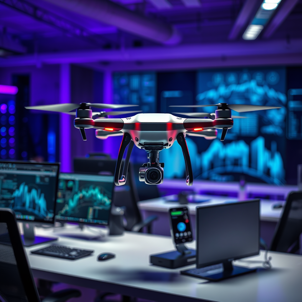
Drones equipped with artificial intelligence are revolutionizing the process of real-time mapping by providing high-resolution imagery and advanced analytical capabilities. This integration enhances decision-making across various industries, including agriculture, construction, and environmental monitoring, by offering accurate spatial data and improving operational efficiency.
Understanding Real-Time Mapping with Drones

Real-time mapping is a groundbreaking advancement that enables immediate data collection and analysis, significantly reducing the time lag typically associated with traditional mapping techniques. Drones outfitted with advanced cameras and sensors can capture high-resolution images from aerial perspectives, allowing for a comprehensive view of the landscape below. This capability is particularly valuable in dynamic environments where conditions can change rapidly, such as during natural disasters or construction projects.
For instance, agricultural drones can provide farmers with up-to-the-minute insights about crop health, soil conditions, and irrigation needs. By leveraging real-time data, stakeholders can make informed decisions that lead to better resource management and crop yields. Similarly, construction sites benefit from real-time mapping by enabling project managers to track progress, identify issues, and assess site conditions without delay.
The ability to gather and process data in real-time not only enhances operational efficiency but also ensures that stakeholders are equipped with the most current information available. As industries increasingly rely on precise mapping techniques, the role of drones becomes essential in facilitating timely and effective decision-making.
The Role of AI in Data Processing

Artificial intelligence plays a pivotal role in the processing of data collected by drones. Advanced AI algorithms are designed to analyze vast amounts of data, identifying patterns and anomalies that might not be visible through manual analysis. For example, in agriculture, AI can detect variations in crop health by analyzing spectral images captured by drones, allowing for targeted interventions.
Machine learning, a subset of AI, further enhances the accuracy of mapping by continuously improving models based on new data inputs. As drones collect more imagery over time, machine learning algorithms refine their predictions and analyses, leading to more precise mapping outcomes. This iterative learning process enables drones to provide increasingly accurate insights, reducing the likelihood of errors in critical decision-making processes.
Moreover, AI-driven data processing allows for the integration of various data sources, such as satellite imagery and historical records, enhancing the overall comprehensiveness of mapping endeavors. This multifaceted approach not only broadens the scope of insights derived from drone data but also ensures that organizations can adapt their strategies based on the latest information available.
Applications of AI-Powered Drones in Various Industries
The applications of AI-powered drones in various industries are extensive and diverse.
– Agriculture: In the agricultural sector, drones are used for precision farming, enabling farmers to monitor crop health, assess soil quality, and optimize resource allocation. For example, drones can identify areas of a field that require irrigation or fertilization, allowing for more efficient use of inputs and higher crop yields. This targeted approach reduces waste and enhances sustainability, which is increasingly important in today’s agricultural practices.
– Construction: The construction industry benefits significantly from real-time mapping capabilities. Drones can track project progress by capturing images at regular intervals, allowing project managers to visualize the construction site’s evolution over time. This capability aids in managing resources, ensuring compliance with safety regulations, and identifying potential delays or issues before they escalate. For instance, construction companies can use drone imagery to conduct site inspections and verify that work aligns with architectural plans, minimizing costly rework.
– Environmental Monitoring: Drones equipped with AI are also instrumental in environmental monitoring efforts. They can survey large areas to assess changes in ecosystems, monitor wildlife populations, and evaluate the impact of human activities on natural habitats. For example, conservation organizations use drones to track deforestation rates and monitor endangered species, providing critical data that informs conservation strategies.
– Disaster Response: During natural disasters, drones can quickly map affected areas, providing first responders with essential information about the landscape and infrastructure. This capability is crucial for efficient resource allocation and rescue operations, as it allows teams to prioritize areas that require immediate attention.
Benefits of Using Drones for Mapping
Utilizing drones for mapping presents numerous benefits that make them a cost-effective alternative to traditional surveying methods.
One of the primary advantages is the reduction in costs associated with aerial mapping. Traditional methods often involve expensive equipment, extensive manpower, and prolonged timelines. In contrast, drones can cover large areas in a fraction of the time, delivering high-resolution data without the need for extensive ground surveys. This efficiency translates to significant savings for organizations across various sectors.
Additionally, the speed of data collection facilitated by drones leads to quicker decision-making. In industries where time is of the essence, such as agriculture and emergency response, having access to real-time mapping information can make a substantial difference. Organizations can respond rapidly to emerging challenges, ensuring that they remain competitive and effective in their operations.
Moreover, the high-resolution imagery provided by drones allows for more detailed analyses, leading to improved accuracy in mapping and decision-making. This precision is particularly critical in industries like construction, where even minor discrepancies can result in significant financial implications.
Challenges and Limitations of AI in Drone Mapping
Despite the numerous benefits of AI-powered drones for mapping, several challenges and limitations must be addressed.
One significant hurdle is regulatory compliance. Many countries have stringent regulations governing drone usage, particularly concerning airspace restrictions and operational limits. These regulations can limit the deployment of drones in certain areas, posing challenges for organizations seeking to leverage drone technology for mapping purposes. Navigating these regulatory environments requires careful planning and often necessitates obtaining the appropriate permits and approvals.
Data privacy concerns also arise from the use of drones for aerial imagery collection. As drones capture images of private properties and public spaces, questions about surveillance and data ownership become increasingly pertinent. Organizations must implement robust data management practices to ensure compliance with privacy laws and to address public concerns about aerial surveillance.
Additionally, while AI algorithms have made significant advancements, they are not infallible. Issues such as algorithm bias or inaccuracies in data interpretation can lead to erroneous conclusions. Therefore, it is crucial for organizations to complement AI analyses with human oversight to ensure that decisions are based on accurate and reliable data.
Future Trends in Drone Mapping Technology
The future of drone mapping technology is promising, with several trends on the horizon that are likely to shape its evolution.
One notable trend is the increasing integration of AI with other advanced technologies, such as the Internet of Things (IoT) and 5G connectivity. This convergence will enable drones to gather and share data in real-time, facilitating more seamless communication between devices and systems. For example, drones could be used to monitor environmental conditions and relay information to central databases for instant analysis, enhancing situational awareness in various applications.
Furthermore, the potential for expanded applications in areas like urban planning and disaster response is significant. As cities continue to grow and evolve, the need for accurate mapping and planning becomes more critical. Drones equipped with AI can assist urban planners in visualizing infrastructure development, assessing land use, and predicting the impact of new projects on existing environments.
In disaster response scenarios, the integration of AI and drones could lead to more effective emergency management strategies. By leveraging real-time data and predictive analytics, response teams can optimize their efforts, improving outcomes for affected populations.
The ongoing advancements in drone technology, combined with AI capabilities, suggest a future where real-time mapping becomes an essential tool for a wide range of industries, enhancing efficiency, accuracy, and responsiveness.
The utilization of AI in drone technology for real-time mapping is transforming how industries gather and analyze geographical data. As these technologies continue to evolve, they promise to deliver even more sophisticated solutions that enhance efficiency and accuracy in mapping tasks. Explore the potential of AI-driven drone mapping for your specific needs or industry and stay ahead in leveraging this innovative technology.
Frequently Asked Questions
What are the benefits of using AI in drones for real-time mapping?
The integration of AI in drones enhances real-time mapping by enabling faster data processing, improved accuracy, and the ability to analyze complex terrain. AI algorithms can quickly identify features and changes in the environment, allowing for timely updates in mapping applications such as urban planning, agriculture, and disaster response. This technology not only saves time but also reduces human error, leading to more reliable maps.
How do drones equipped with AI technology create real-time maps?
Drones equipped with AI technology utilize advanced sensors and cameras to capture high-resolution images and data from their surroundings. These images are then processed using machine learning algorithms to detect and classify objects, generate 3D models, and create detailed maps in real-time. The combination of aerial data collection and AI analysis allows for a swift turnaround from data capture to map generation, significantly enhancing efficiency in various industries.
Why is real-time mapping with drones important for industries like agriculture and construction?
Real-time mapping with drones is crucial for agriculture and construction as it provides timely insights into land use, crop health, and project progress. In agriculture, farmers can monitor crop conditions and soil quality instantly, allowing for precise interventions that can boost yield. In construction, real-time mapping helps in tracking project milestones and ensuring that work aligns with blueprints, ultimately leading to cost savings and improved project management.
Which industries can benefit the most from AI-powered drone mapping?
Several industries can benefit significantly from AI-powered drone mapping, including agriculture, construction, environmental monitoring, mining, and emergency services. In agriculture, precise mapping aids in crop management; in construction, it assists in site surveys and progress tracking. Environmental monitoring uses drone maps to assess changes in ecosystem health, while mining operations rely on accurate terrain mapping for resource management. Emergency services can use real-time maps for disaster response and recovery efforts.
What challenges do companies face when implementing AI-driven drone mapping solutions?
Companies face several challenges when implementing AI-driven drone mapping solutions, such as regulatory restrictions, high initial costs, and the need for skilled personnel. Navigating local aviation regulations can be complex and time-consuming, while the investment in drone technology and AI software can be substantial. Additionally, the lack of trained operators and data analysts can hinder the effective use of these technologies, necessitating ongoing training and support within organizations.
References
- Robotic mapping
- https://www.nasa.gov/feature/nasa-s-drones-are-getting-a-little-smarter
- https://www.sciencedirect.com/science/article/pii/S0924271618300168
- https://www.reuters.com/article/us-technology-drones-insight-idUSKBN1W30M3
- https://www.forbes.com/sites/bernardmarr/2020/03/02/how-drones-and-ai-are-revolutionizing-the-way-we-map-our-world/?sh=3f3d4f9b1a8b
- https://www.geospatialworld.net/blogs/how-ai-and-drones-are-revolutionizing-mapping-and-surveying/
- https://www.bbc.com/future/article/20201201-how-drones-are-using-ai-to-map-the-world
- Frontiers | Designing Ethical Social Robots—A Longitudinal Field Study With Older Adults
