

To legally fly your drone in Sedona, you need to follow FAA rules like registering drones over 0.55 pounds, staying below 400 feet, and avoiding no-fly zones near airports or protected areas. Obtain any required local permits through Sedona’s official channels, and get a Part 107 certification for commercial flights. Always respect wildlife, private property, and privacy laws. Adhering to safety guidelines guarantees smooth flying. If you want to fly confidently while protecting Sedona’s beauty, understanding these key points is vital.
Understanding FAA Regulations for Drone Flying
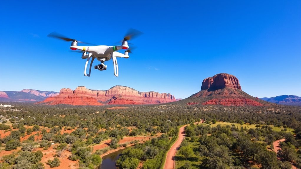
Before you take off, you need to understand the FAA regulations that govern drone operations in the United States. First, you must complete drone registration if your drone weighs more than 0.55 pounds and less than 55 pounds. This step is mandatory and links your drone to you legally. Next, keep your flight altitude at or below 400 feet above ground level unless within a 400-foot radius of a structure, where you can fly higher but must stay within a safe distance. Always maintain visual line of sight with your drone. These rules guarantee you enjoy the freedom of flight responsibly, avoiding conflicts with manned aircraft and respecting safety protocols. Master these fundamentals to fly legally and confidently.
Obtaining Necessary Permits in Sedona
Where do you start when it comes to obtaining the necessary permits to fly your drone legally in Sedona? First, you need to understand Sedona’s local regulations, which may impose additional requirements beyond FAA rules. Here’s how to proceed:Begin by understanding Sedona’s local drone regulations, which may require permits beyond FAA rules.
- Visit the City of Sedona’s official website to access the permit application specific to drone operations.
- Complete the permit application thoroughly, providing details about your drone, flight purpose, and exact locations.
- Submit the application well in advance and await approval, as processing times can vary.
Following these steps guarantees you respect local rules while maximizing your freedom to explore Sedona’s stunning landscapes. Remember, obtaining permits isn’t just bureaucracy—it’s your ticket to flying confidently and legally.
Identifying No-Fly Zones and Restricted Areas
After securing the necessary permits in Sedona, the next step is to clearly identify no-fly zones and restricted areas to guarantee your drone operations remain compliant. Utilize drone mapping tools that integrate real-time airspace classification data to visualize boundaries where flight is prohibited, such as near airports, military installations, and certain government properties. Sedona’s airspace is carefully categorized, so it’s essential to consult updated sectional charts and official FAA resources before you launch. Ignoring these restrictions can lead to fines or confiscation of your drone. By precisely understanding these zones, you maintain your freedom to fly while respecting legal limitations. Always double-check airspace classification changes before each flight to verify your drone mapping is current and accurate. This diligence protects both your rights and public safety.
Respecting Wildlife and Natural Habitats
While flying your drone offers incredible perspectives, you must prioritize the protection of wildlife and natural habitats to avoid causing harm or disruption. Respecting wildlife and habitat preservation guarantees that your freedom to explore doesn’t come at the expense of the environment.
To uphold wildlife protection and habitat preservation, keep these key points in mind:
- Maintain a safe distance from animals to prevent stress or behavioral changes.
- Avoid flying near nesting sites, breeding grounds, or sensitive ecosystems.
- Limit flight times during critical periods like mating or migration seasons.
Tips for Safe and Responsible Drone Operation
Although flying a drone can be an exhilarating experience, you must operate it safely and responsibly to guarantee both your safety and the safety of others. Start by performing thorough drone maintenance before each flight—check batteries, propellers, and firmware to avoid malfunctions. Always assess weather conditions; strong winds, rain, or low visibility can compromise control and cause accidents. Maintain a clear line of sight and fly within designated areas, respecting local regulations. Avoid flying near people, vehicles, or restricted zones. Stay aware of your drone’s altitude and battery life to prevent unexpected landings. By prioritizing these practices, you preserve your freedom to explore the skies while ensuring a safe, enjoyable experience for yourself and those around you. Responsible operation is the key to sustainable drone enjoyment.
Privacy Considerations When Flying Your Drone
When flying your drone, you must respect others’ personal privacy by avoiding capturing images or videos without consent. Be aware of and steer clear from restricted areas where drone operation is prohibited or limited. Understanding these boundaries is essential to maintain legal and ethical drone use.
Respecting Personal Privacy
Because drones can easily capture images and videos from private spaces, respecting personal privacy is essential to flying responsibly and legally. You need to practice strict drone etiquette by acknowledging and honoring others’ personal boundaries to prevent conflicts and legal issues.
- Always avoid flying over private property without explicit permission, as this infringes on personal space and privacy.
- Refrain from recording or photographing individuals without their consent, particularly in their homes or private yards.
- Use your drone’s capabilities to enhance your experience, not to intrude or spy.
Avoiding Restricted Areas
Since drones can easily capture sensitive information, you must avoid flying in restricted areas to respect privacy laws and regulations. Before taking off, use drone mapping tools to identify no-fly zones such as private properties, government buildings, and wildlife reserves. Incorporate these boundaries into your flight planning to guarantee compliance. Remember, flying over restricted areas not only violates privacy but can also lead to legal consequences. Maintain a clear line between your drone’s freedom and others’ rights by thoroughly researching local restrictions. By integrating precise drone mapping data into your flight planning, you safeguard privacy while maximizing your aerial freedom. Staying informed and vigilant lets you enjoy your drone responsibly without infringing on protected spaces or sensitive locations.
Local Drone Clubs and Community Resources
Connecting with local drone clubs and community resources can greatly enhance your flying experience while ensuring you stay compliant with regulations. By engaging with like-minded pilots, you tap into valuable knowledge and support systems that promote safe, legal drone operation in Sedona.
- Join drone meetups to network with experienced flyers and learn about recent regulatory updates.
- Attend community workshops focused on flight safety, FAA rules, and best practices tailored for Sedona’s unique environment.
- Utilize online forums and social media groups dedicated to Sedona drone enthusiasts for real-time advice and event notifications.
These resources empower you to fly confidently and responsibly, maintaining your freedom in the skies while respecting local laws and preserving Sedona’s natural beauty.
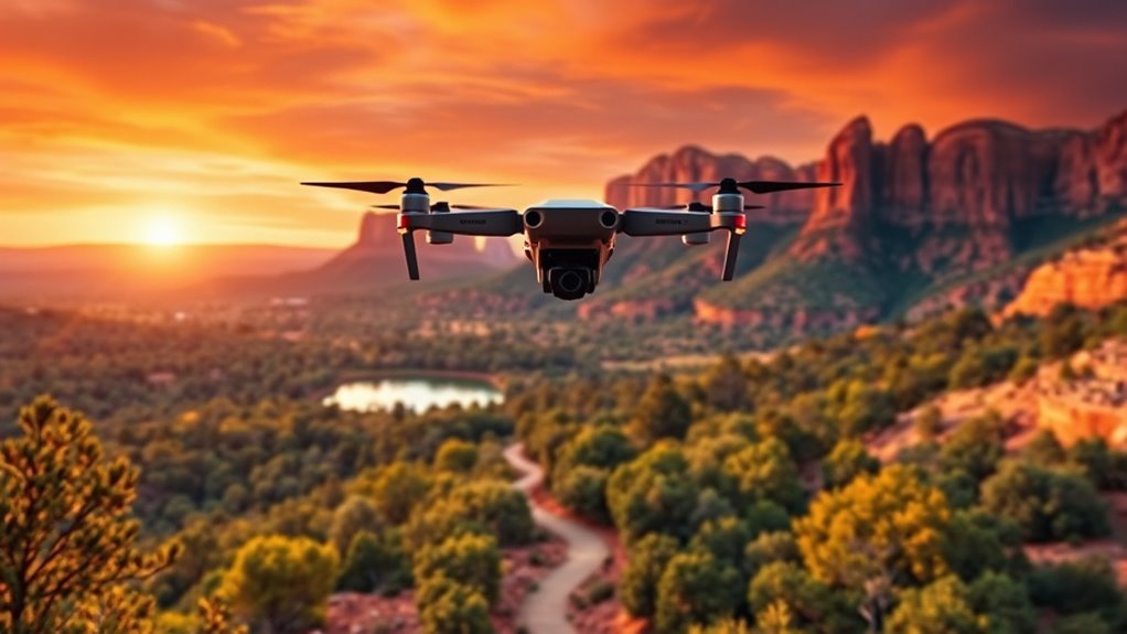
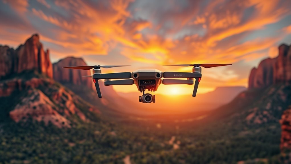
Best Practices for Capturing Sedona’s Scenic Beauty
When capturing Sedona’s scenic beauty, you’ll want to prioritize both technical skill and environmental awareness to create stunning footage while protecting the landscape. Mastering drone photography requires understanding landscape composition, lighting, and respecting no-fly zones. Your shots should balance dynamic angles with nature’s integrity, guaranteeing you don’t disturb wildlife or vegetation.
| Best Practice | Description |
|---|---|
| Flight Planning | Scout locations, check weather, and legal limits |
| Composition Techniques | Use rule of thirds and natural lines for impact |
| Environmental Respect | Maintain altitude, avoid sensitive areas |
| Equipment Readiness | Verify battery life and firmware updates |
