
You’ll want to start by checking your drone’s GPS tracking and verify its firmware is up to date. Use the manufacturer’s app to access real-time telemetry and location data, then review your flight logs for the last known coordinates and altitude. Methodically retrace your flight path and consider external trackers if installed. Engage your local drone community for additional support. With these steps, you’ll improve your chances of recovery and be ready to explore more detailed strategies.
Check Your Drone’s GPS Tracking Features
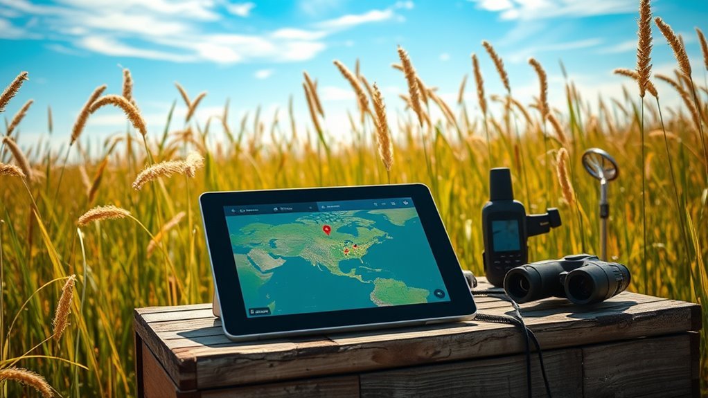
How can you pinpoint your drone if it goes missing? Start by examining its GPS tracking features. Your drone relies on satellite signals to maintain precise location data. However, drone connectivity issues can arise from GPS signal interference caused by dense foliage, tall buildings, or atmospheric disturbances. To mitigate this, verify your drone’s GPS module status before flight and confirm firmware is updated to optimize satellite communication. Use the drone’s telemetry data to track coordinates in real-time, noting any signal loss or inaccuracies. If GPS data is compromised, cross-reference with inertial measurement unit (IMU) readings to estimate position. By methodically monitoring these systems, you maintain control and increase your chances of locating the drone swiftly, preserving your freedom to explore without losing your device.
Use the Drone Manufacturer’s Mobile App
Although your drone’s GPS tracking provides essential location data, the manufacturer’s mobile app offers advanced tools to enhance your search. You can leverage app features like real-time location updates, battery status, and signal strength indicators to pinpoint your drone’s exact position. The user interface is designed for intuitive navigation, allowing you to access telemetry data swiftly and adjust search parameters on the fly. Some apps include geofencing alerts and flight logs, which help identify where your drone last communicated with the controller. By systematically using these features, you gain thorough situational awareness, increasing the likelihood of recovery. Make sure your app is updated to the latest version to access all functionalities, ensuring your search is both efficient and effective, supporting your freedom to explore without unnecessary limitations.
Retrace Your Flight Path Carefully
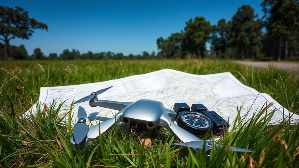
With data from your drone manufacturer’s app in hand, your next step is to methodically retrace the flight path. Start by reviewing the GPS coordinates and timestamps to reconstruct the exact trajectory. Follow the route on foot or with a vehicle, noting any deviations or unusual environmental factors that might have caused a loss of control. Maintain awareness of emergency protocols you’ve established, ensuring safety during your search. If your drone is insured, promptly document findings for your claim, as precise location info strengthens your case. Avoid speculative wandering; focus strictly on the mapped path to maximize recovery chances. This disciplined approach respects your desire for autonomy while minimizing time lost, optimizing your ability to recover the drone efficiently and responsibly.
Search the Last Known Altitude and Location
You’ll want to review your drone’s flight logs to pinpoint the exact altitude and location at the last moment of contact. Use the GPS coordinates recorded to narrow down the search area accurately. This data provides the most reliable reference to guide your recovery efforts.
Review Flight Logs
Before beginning the physical search for your lost drone, it’s essential to review its flight logs thoroughly. Start with precise flight data analysis, focusing on the most recent entries. Examine altitude, speed, and positional data to pinpoint the drone’s last known status. Log interpretation helps identify any anomalies or abrupt changes that may indicate a malfunction or crash site. Use software tools designed for your drone model to access raw flight logs, ensuring accurate extraction of coordinates and environmental conditions. This methodical approach narrows your search area considerably, conserving time and resources. By mastering flight data analysis and log interpretation, you enhance your ability to reclaim your drone swiftly, maintaining your freedom to explore without prolonged downtime or guesswork in locating your lost equipment.
Use GPS Coordinates
Although reviewing flight logs provides valuable insights, the next critical step is to use the GPS coordinates extracted from those logs to narrow down your search. GPS technology precisely records the drone’s last known latitude, longitude, and altitude, which you can input into mapping software or GPS devices to identify the exact area for drone recovery. Focus on the coordinates corresponding to the final logged position before signal loss or battery depletion. By methodically analyzing this data, you minimize search area and increase efficiency. Remember, altitude data helps you understand if the drone landed nearby or crashed from height. Using these GPS coordinates strategically aligns your efforts with the drone’s last known location, maximizing your chances of successful recovery while preserving your freedom to explore confidently.
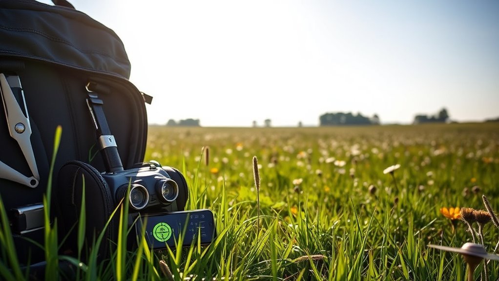
Utilize External Tracking Devices
To improve recovery chances, you’ll want to use external tracking devices like GPS modules, radio transmitters, or Bluetooth beacons. Carefully install these devices to guarantee secure attachment and ideal signal transmission while considering their battery life and operational range. Proper setup and maintenance of these trackers are critical for effective location retrieval.
Types of Tracking Devices
There are several types of external tracking devices you can attach to your drone to enhance its recoverability. Bluetooth trackers offer short-range proximity detection, ideal for locating your drone within a limited radius via smartphone apps. Their low power consumption allows prolonged operation without greatly affecting flight time. RFID tags provide a passive tracking solution; they don’t require a power source but need an RFID reader nearby to detect the drone’s presence. For extended range and real-time tracking, GPS trackers are indispensable, transmitting coordinates via cellular networks. Each device type balances range, power usage, and weight differently. Selecting the right tracker depends on your typical flight environments and the freedom you want to maintain while ensuring your drone’s location can be swiftly identified if lost.
Installation and Setup Tips
How do you guarantee your external tracking device works effectively once attached to your drone? Start by following precise installation tips: securely fasten the tracker to a non-obstructive location on the drone’s frame, making certain it doesn’t interfere with aerodynamics or sensors. Next, adhere strictly to setup guidelines—calibrate the device according to the manufacturer’s instructions and verify GPS signal acquisition before flight. Check that all connections are firm and that firmware is up to date. Perform a test run to confirm real-time tracking accuracy. Remember, proper installation and setup not only maximize the device’s functionality but also preserve your drone’s freedom to navigate without constraints. Meticulous attention to these steps guarantees reliable tracking and peace of mind in every flight.
Battery Life and Range
Although external tracking devices enhance your ability to locate a lost drone, their effectiveness hinges on battery life and operational range. To maximize these factors, focus on:
- Battery Optimization: Use high-capacity, lightweight batteries to prolong tracking device operation without sacrificing flight time.
- Power Management: Enable energy-saving modes on the tracker to extend battery life during idle periods.
- Range Extension: Select tracking devices with advanced antennas and signal amplifiers for increased communication distance.
- Regular Maintenance: Routinely check battery health and replace cells showing diminished capacity to guarantee reliable performance.
Ask for Help From Local Communities
When you’ve exhausted your initial search efforts, reaching out to local communities can greatly increase your chances of locating a lost drone. Engage community involvement by contacting local drone clubs, hobbyist groups, and online forums specific to your area. These groups often have members familiar with the terrain and equipped with specialized tools to aid your search. Utilize local resources such as neighborhood social media pages, community centers, and public bulletin boards to broadcast detailed information about your drone, including flight time, last known location, and identifying features. Encouraging community vigilance leverages collective observation capabilities, expanding the search perimeter effectively. Maintain clear communication and provide contact information for quick reporting. This collaborative approach maximizes your freedom to recover your drone while tapping into the expertise and eyes of your local network.
Prevent Future Losses With Proper Preparation
To minimize the risk of losing your drone in future flights, you need to implement thorough pre-flight preparations and establish consistent operational protocols. Start with a detailed pre flight checklist to verify battery levels, GPS functionality, and firmware updates. Next, conduct a signal range test in your intended flight area to guarantee reliable communication. Third, map out your flight path using GPS waypoints to avoid unexpected obstacles or restricted zones. Finally, secure drone insurance to protect your investment against loss or damage, providing peace of mind that supports your freedom to explore. By following these precise steps, you reduce the likelihood of drone loss, enabling you to confidently enjoy extended flights without compromising control or safety. Consistency in preparation is key to maintaining your drone’s operational integrity.
