
When recovering deer with drones, you should choose models with stable GPS, long battery life, and thermal imaging to detect heat signatures in low light or dense foliage. Plan systematic flight paths, like grids, while keeping drones quiet by reducing speed and using noise-minimizing features to avoid startling deer. Coordinate real-time data with ground teams, focusing on unusual behavior or injury indicators in footage. Following ethical guidelines guarantees minimal wildlife disturbance. Further techniques will expand your operational effectiveness and precision.
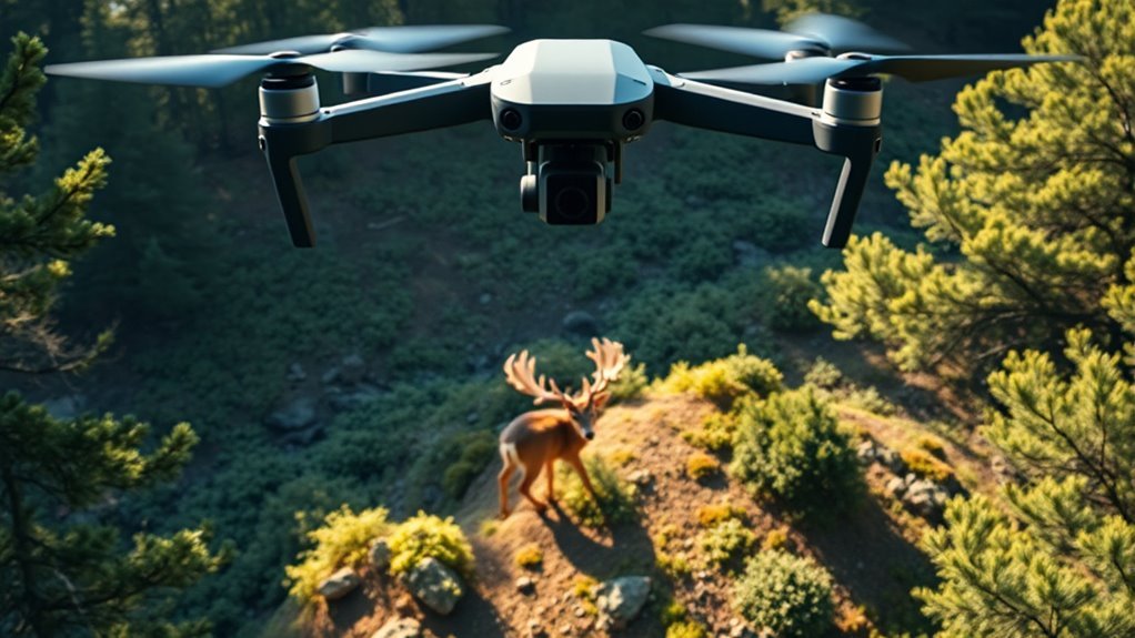
Choosing the Right Drone for Deer Recovery

When selecting a drone for deer recovery, you’ll need to prioritize features that enhance flight stability, sensor accuracy, and operational endurance. Optimal drone specifications include a robust GPS system for precise navigation and a gimbal-stabilized camera to maintain steady visuals despite wind or movement. Understanding deer behavior is essential; drones must fly at altitudes and speeds that minimize disturbance, allowing you to track animals without triggering flight responses. Extended battery life guarantees prolonged flight time, enabling thorough area coverage necessary for locating injured deer efficiently. Additionally, drones equipped with obstacle avoidance systems improve maneuverability in dense vegetation where deer often seek refuge. By choosing a drone tailored to these parameters, you gain the freedom to conduct effective recovery missions with minimal impact on wildlife and the surrounding environment.
Utilizing Thermal Imaging for Effective Tracking
You’ll find that thermal imaging considerably enhances your ability to detect deer by capturing heat signatures invisible to the naked eye. This technology performs best during low-light conditions or dense foliage, where visual tracking is challenging. Understanding these benefits and ideal conditions will improve the accuracy and efficiency of your recovery efforts.
Thermal Imaging Benefits
A key advantage of thermal imaging in recovering deer lies in its ability to detect temperature differences between the animal and its surroundings, even in low-light or obscured conditions. This capability enhances your deer recovery efficiency by allowing you to locate injured or resting animals quickly, regardless of terrain complexity. Thermal imaging advantages include improved night vision, reduced search time, and better accuracy.
| Benefit | Description | Impact on Recovery |
|---|---|---|
| Night Vision | Detects heat signatures in darkness | Extends search hours |
| Reduced Search Time | Quickly identifies warm bodies | Increases efficiency |
| Accuracy | Differentiates animals from environment | Minimizes false positives |
Utilizing these benefits, you gain freedom to conduct effective tracking with precision and confidence.
Best Conditions for Use
Maximizing the advantages of thermal imaging depends heavily on selecting ideal environmental conditions. You’ll achieve the best results under optimal weather—clear skies with minimal wind and no precipitation. Rain, fog, or heavy humidity can scatter infrared radiation, reducing thermal contrast and obscuring your target. Lighting conditions also play a vital role; thermal imaging performs best during low ambient light, such as dawn, dusk, or nighttime, when temperature differences between the deer and surroundings are pronounced. Avoid bright, sunny days as solar heating can mask thermal signatures. Additionally, cooler ambient temperatures enhance the contrast between warm-bodied deer and the environment. By operating under these precise conditions, you’ll increase detection accuracy and efficiency, ensuring you maintain your freedom to track deer effectively using drone-mounted thermal sensors.
Planning Flight Paths to Maximize Coverage
When planning your drone’s flight path, adopting a grid pattern guarantees systematic and thorough area coverage. You’ll need to balance altitude choices to optimize thermal imaging resolution while maintaining a broad field of view. Additionally, managing battery life effectively is vital to maximize flight time without compromising search efficiency.
Grid Pattern Overview
Covering every inch of terrain efficiently requires careful planning of your drone’s flight path, and the grid pattern is one of the most effective methods for achieving thorough area coverage. This systematic approach involves flying your drone in parallel lines, ensuring overlapping fields of view to avoid missing any sections. Employing grid pattern techniques enhances the reliability of aerial search methods by minimizing blind spots and maintaining consistent visual data.
When implementing grid patterns, remember to:
- Define clear boundaries of the search area before flight
- Maintain consistent spacing between flight lines for uniform coverage
- Adjust flight speed to balance image resolution and battery life
Altitude Considerations
Although altitude directly influences the drone’s field of view, you need to carefully balance flying high enough to cover large areas with maintaining sufficient image resolution for identifying deer. Altitude effects impact sensor clarity; flying too high reduces detail, while flying too low limits coverage and increases flight time. To maximize efficiency, determine the ideal height by considering your drone’s camera capabilities and terrain type. Generally, an altitude between 120 and 200 feet offers a favorable compromise, enabling you to capture broad swaths without sacrificing image sharpness critical for spotting deer. Planning flight paths at this ideal height guarantees thorough area coverage, allowing you the freedom to scan expansively while confidently detecting your target. Adjust altitude dynamically if environmental conditions or specific search zones demand finer resolution or broader views.
Battery Life Management
Since drone battery capacity limits flight duration, you’ll need to meticulously plan flight paths to maximize coverage without compromising data quality. Effective battery management strategies are essential for optimizing flight duration, enabling you to cover larger areas during deer recovery missions. To achieve this, consider:
- Designing systematic grid or zigzag patterns to guarantee thorough, efficient area scans.
- Prioritizing high-probability zones first, reducing unnecessary battery consumption on low-likelihood regions.
- Scheduling timely battery swaps or recharges based on predicted flight time and distance.
Operating Drones Quietly to Avoid Scaring Deer
When operating drones for deer recovery, minimizing noise is essential because deer have highly sensitive hearing that can detect even subtle sounds. Employ stealth techniques like flying at lower speeds and using noise-reducing propellers to achieve effective noise reduction. Positioning the drone downwind can also help mask its sound.
| Stealth Technique | Noise Reduction Method | Benefit |
|---|---|---|
| Low-speed flight | Noise-reducing propellers | Limits mechanical noise |
| Downwind positioning | Soft-start motors | Reduces sudden noise bursts |
| Smooth flight paths | Vibration dampening mounts | Minimizes high-frequency noise |
Adopting these methods grants you greater freedom to operate without disturbing deer, enhancing your recovery efficiency.
Timing Your Drone Flights for Optimal Visibility
Maintaining quiet drone operation helps keep deer undisturbed, but visibility plays an equally important role in successful recovery missions. You’ll want to schedule flights when natural lighting and environmental conditions maximize your ability to spot deer efficiently. Key visibility factors include:
- Time of day: Early morning and late afternoon provide softer light and reduce glare.
- Weather conditions: Clear skies enhance image clarity; avoid fog, rain, or heavy clouds.
- Flight duration: Plan flights within battery limits to maintain consistent visibility and avoid rushed searches.
Leveraging GPS and Mapping Software
Three critical tools—GPS technology, mapping software, and drone integration—significantly enhance your ability to locate and recover deer efficiently. GPS integration allows you to precisely track drone flight paths and mark significant waypoints, ensuring thorough coverage of the search area. Mapping software improves mapping accuracy by overlaying topographical and satellite data, enabling you to identify terrain features and probable deer locations. By synchronizing GPS data with real-time drone coordinates, you can systematically scan zones without overlap or omission. This methodical approach reduces search time and increases recovery success. Leveraging these tools grants you navigational freedom while maintaining scientific rigor, ensuring your search efforts are both effective and efficient. Embracing GPS and mapping technology transforms your drone recovery operation into a precise, data-driven process.
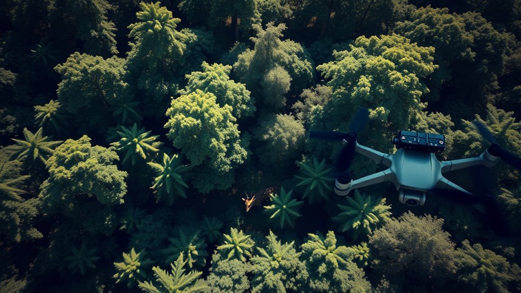
Interpreting Drone Footage to Identify Injured Deer
Anyone analyzing drone footage for injured deer must focus on specific behavioral and physical indicators to accurately identify distress. Effective drone footage analysis hinges on observing deviations from typical movement patterns and physical condition. Key elements include:
- Limited or erratic mobility that suggests pain or impaired function
- Visible wounds, limping, or abnormal posture indicating trauma
- Unusual isolation from the herd, which can signal weakness or injury
Coordinating Drone Use With Ground Tracking Teams
Although drones provide an extensive aerial perspective, their effectiveness in locating injured deer increases considerably when coordinated with ground tracking teams. Successful drone coordination requires establishing real-time tracking communication between aerial operators and field personnel. You’ll need to use reliable radios or digital communication platforms to transmit GPS coordinates, visual observations, and behavioral cues from the drone to trackers on the ground. This integrated approach reduces search time by allowing ground teams to focus precisely where the drone identifies potential injuries. Additionally, you can adjust drone flight paths dynamically based on ground feedback, enhancing coverage efficiency. Maintaining clear roles and consistent communication protocols is essential for safety and operational success. By combining aerial surveillance with targeted ground tracking, you optimize resource use while respecting the freedom of both wildlife and recovery teams.
Following Ethical Guidelines When Using Drones for Wildlife Recovery
Effectively coordinating drones with ground teams enhances the efficiency of locating injured deer, but it’s equally important to contemplate the ethical framework governing drone use in wildlife recovery. When deploying drones, you must adhere to ethical considerations and guarantee responsible usage to minimize stress and disturbance to wildlife. Key principles include:
- Maintaining a safe distance to avoid altering animal behavior or causing additional injury
- Limiting flight duration and frequency to reduce disruption to natural habitats
- Ensuring data privacy and compliance with local regulations regarding drone operation
