
If you’ve lost your drone without a tracker, start by checking its last known GPS location via your drone app and retracing its flight path carefully. Search the area systematically, using grid or spiral patterns to cover every inch. Ask locals for help and post on social media for wider reach. Don’t forget to contact nearby authorities or park services if applicable. Applying these steps thoughtfully will boost your chances—there’s more to uncover about efficient recovery strategies ahead.
Check the Last Known Location
Before expanding your search area, start by pinpointing the last known location of your drone using the flight app or controller logs. Access the detailed flight data to retrieve the GPS coordinates of your drone’s last location. These coordinates serve as the most reliable reference point in your search. Note the exact latitude and longitude, then cross-check them with a map to visualize the area. This methodical approach prevents wasted effort and narrows your focus. Keep your device handy to update or adjust the coordinates if new information arises. By relying on precise GPS data and the last location records, you maximize your chances of a swift recovery while maintaining the freedom to explore further once you’ve thoroughly examined this critical starting point.
Retrace Your Flight Path
Once you’ve identified the last known location, retracing your flight path becomes essential to systematically cover the area where your drone might have drifted or landed. Start by reviewing your flight analysis data, noting key waypoints, altitude changes, and potential wind impact. Use basic navigation techniques, like orienting yourself with landmarks or the sun, to follow the exact route you took. Move steadily and methodically, marking searched zones to avoid overlap or missed spots. This approach maximizes your coverage and conserves energy, increasing your chances of spotting the drone. Staying organized and focused during this process guarantees you don’t overlook any critical areas where your drone could be hidden, empowering you to reclaim your freedom in the skies.
Use Your Drone’s App to Locate It
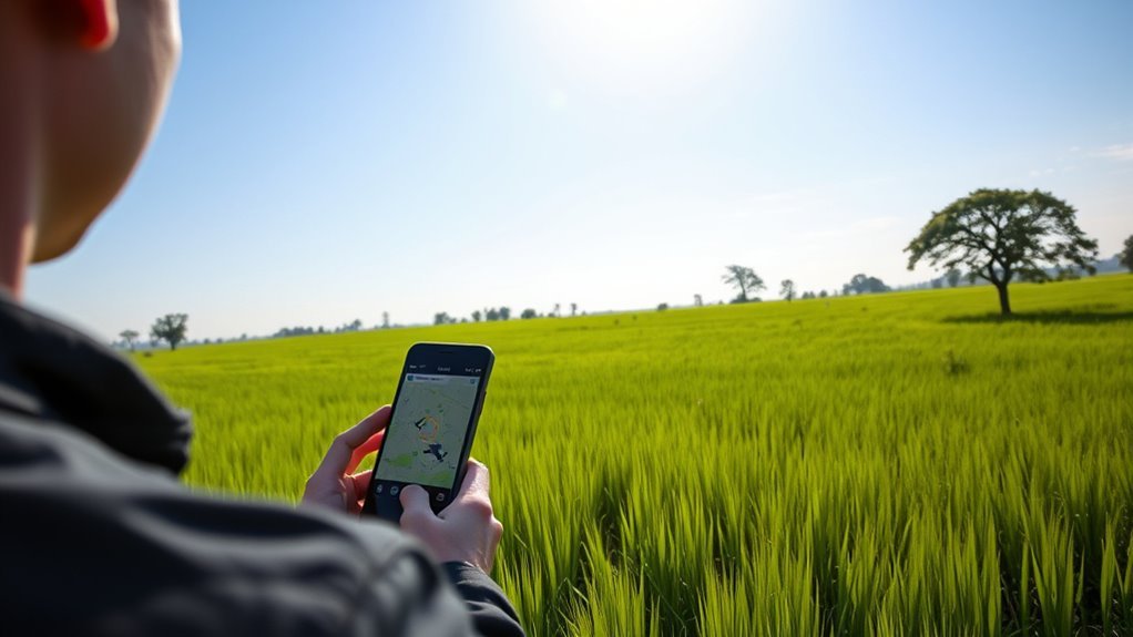
After carefully retracing your flight path, the next step is to leverage the technology built into your drone’s app. Most drone apps offer features designed to enhance location accuracy, such as live GPS tracking, last known position, and signal strength indicators. By methodically maneuvering through these tools, you can pinpoint your drone’s whereabouts and plan your retrieval efficiently.
| Drone App Features | Purpose | How It Helps You |
|---|---|---|
| Live GPS Tracking | Shows real-time location | Guides your search precisely |
| Last Known Position | Displays last signal point | Narrows down search area |
| Signal Strength | Indicates connection quality | Helps approach lost drone |
| Flight Logs | Records flight history | Confirms drone’s path |
| Battery Status | Monitors remaining power | Prepares you for recovery |
Use these features to reclaim your freedom in the skies swiftly.
Search the Surrounding Area Systematically
Although you have valuable location data from your drone’s app, physically searching the area methodically is crucial to increase your chances of finding it. Start by establishing a clear search perimeter based on the last known coordinates. Use a systematic approach—divide the area into manageable sections and sweep each thoroughly before moving on. Employ search techniques like walking in grid patterns or spirals to guarantee no spot is overlooked. Stay observant for any signs of your drone, such as unusual debris or sounds. Keep notes or mark areas you’ve covered to avoid redundancy. This disciplined, resourceful method maximizes efficiency and helps you reclaim your drone while embracing the freedom to explore confidently and responsibly.
Ask for Help From Nearby People
Since you can’t be everywhere at once, enlisting help from nearby people can greatly expand your search efforts. Tap into community support by informing locals about your lost drone. Approach residents, shopkeepers, or park-goers, providing a clear description or showing a photo. Their local assistance is invaluable—they know the terrain and may have seen your drone or its flight path. Be methodical: assign specific search zones to willing helpers to cover more ground efficiently. Use social media groups or community bulletin boards to broadcast your situation quickly, increasing the reach of your search. Remember, people value freedom and exploration, so appealing to those shared values can motivate them to assist. This coordinated approach maximizes your chances of a swift, successful recovery.
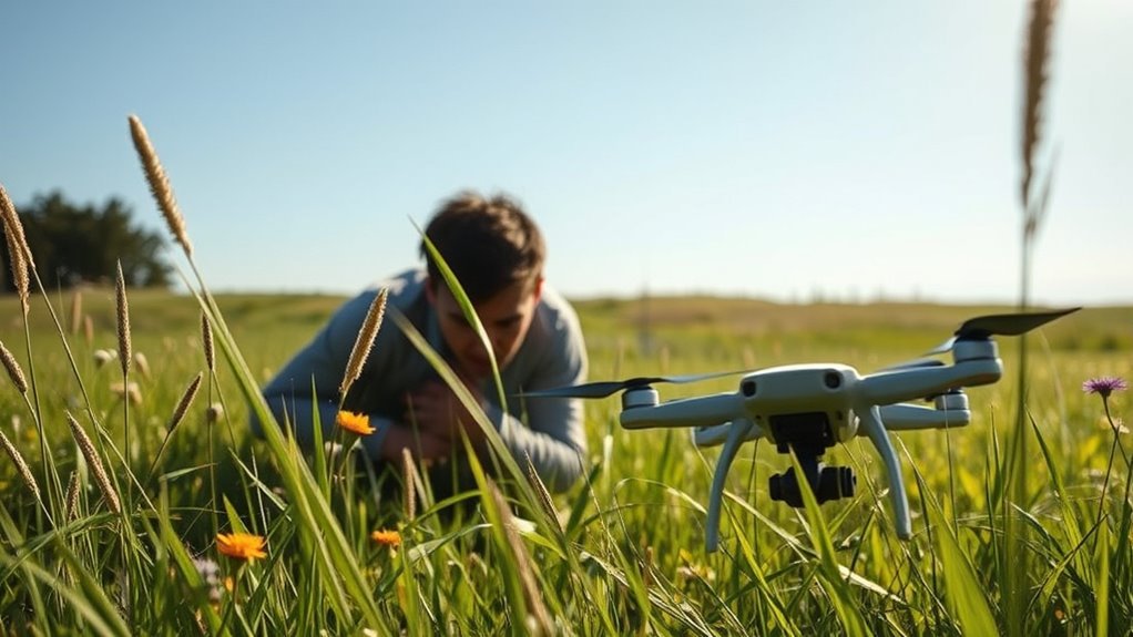
Look for Physical Signs of the Drone
You should start by scanning the area for any landing marks where your drone might have touched down unexpectedly. Look closely for drone debris like broken propellers or casing fragments that can pinpoint its location. Also, check for disturbed vegetation—bent grass or broken branches often reveal where the drone came to rest.
Check for Landing Marks
When searching for your lost drone, start by examining the area for any landing marks or physical signs it may have left behind. Focus your search techniques on identifying subtle visual cues such as disturbed grass, flattened leaves, or scuff marks on dirt or pavement. These signs often indicate where your drone touched down unexpectedly. Take note of any imprints or indentations that differ from the surrounding terrain—they’re valuable clues in narrowing your search area. Move systematically, scanning in a grid pattern to avoid missing small but telling details. Staying methodical guarantees you maximize your chances of locating the drone while maintaining the freedom to explore the surroundings efficiently. Using these precise visual cues, you’ll enhance your ability to pinpoint the drone’s resting spot without relying on electronic trackers.
Identify Drone Debris
After spotting potential landing marks, the next step is to search for any drone debris that might have broken off during an unexpected landing or crash. Focus on distinctive drone materials like lightweight carbon fiber, plastic casings, or metal components. Collect small fragments carefully; these pieces provide essential clues to your drone’s location. Conduct debris analysis by examining shapes and markings, matching them to parts of your drone. This methodical approach narrows down the search area efficiently. Keep a keen eye on edges, screws, or propeller fragments, as they often scatter nearby. By identifying and cataloging these physical signs, you gain valuable insight into where your drone came to rest, empowering you to reclaim your freedom of flight without relying on electronic trackers.
Observe Disturbed Vegetation
Grass, bushes, and tree branches often reveal subtle signs when a drone has made contact. You’ll want to scan the area carefully for bent or broken vegetation, which can indicate where your drone landed or crashed. Look closely for patches of disturbed soil—freshly upturned earth suggests recent impact. Pay attention to changes in wildlife activity too; sudden silence or startled animals may point you toward your drone’s location. Move methodically, examining the ground and surrounding plants from multiple angles to catch subtle clues. Mark any suspicious spots and revisit them. By observing these physical signs, you can narrow down your search area without relying on electronic trackers, reclaiming your drone while embracing the freedom of exploration.
Utilize Social Media and Local Online Groups
Although finding your lost drone can feel overwhelming, tapping into social media and local online groups greatly boosts your chances of recovery. Start with targeted social media outreach: post clear photos, your location, and flight details on platforms like Facebook, Twitter, and Instagram. Join community groups focused on drones, outdoor activities, or local neighborhoods to increase visibility. Engaging with these communities invites helpful tips and enhances community engagement, turning many eyes toward your search. Be precise in your updates and prompt in responding to messages. This methodical approach mobilizes a network of local enthusiasts who share your passion for freedom and exploration, turning strangers into allies in your recovery effort. Effective use of these digital tools maximizes reach without needing specialized equipment.
Contact Local Authorities and Parks Services
When you’ve exhausted online efforts, reaching out to local authorities and parks services can greatly aid your search. Local police and park rangers have the resources and knowledge of the area, increasing the chances of recovering your drone. Here’s how to proceed:
- Contact local police to report the lost drone, providing a detailed description and last known location.
- Reach out to park rangers if your drone was lost in or near a park or protected area—they often conduct regular patrols.
- Ask authorities if they’ve received any reports or found any drones matching your description.
- Provide your contact information and request updates if they come across your drone during their rounds.
This methodical approach maximizes the possibility of reclaiming your drone while respecting local rules.
Use a Drone Finder App or Device
If you’re struggling to locate your drone through physical searches, using a drone finder app or device can greatly streamline the process. These tools serve as effective tracking alternatives by tapping into your drone’s last known signals or GPS data. Start by downloading a reputable drone finder app compatible with your drone model; many apps leverage Wi-Fi or Bluetooth to detect nearby devices. Some standalone drone finders can scan for signals your drone emits, helping you narrow down its location quickly. Make sure your smartphone or device’s permissions are set correctly for accurate scanning. While these options aren’t foolproof, they enhance your ability to pinpoint your drone without a traditional tracker, giving you a practical, tech-savvy approach to regain control and enjoy the freedom you seek.
Prevent Future Losses With Tracking Solutions
To prevent losing your drone again, consider equipping it with a GPS tracking device that provides real-time location data. Many trackers sync seamlessly with mobile apps, allowing you to monitor your drone’s position directly from your phone. This method gives you a reliable way to locate your drone quickly if it goes missing.
GPS Tracking Benefits
Although losing a drone can be frustrating, integrating GPS tracking technology considerably reduces the risk of permanent loss by providing real-time location data. When you invest in reliable tracking devices, you gain GPS accuracy that helps pinpoint your drone’s location swiftly and precisely. This level of control preserves your freedom to explore without worry.
Here are four key GPS tracking benefits:
- Instant recovery: Quickly locate your drone after an unexpected landing or crash.
- Enhanced security: Track your drone if stolen or misplaced.
- Flight path records: Review routes to avoid hazardous zones.
- Peace of mind: Confidently fly, knowing you can find your drone anywhere.
Using GPS tracking devices guarantees you maintain full control and minimize risk every time you take off.
Mobile App Integration
While GPS tracking provides critical location data, integrating your drone’s functions with a dedicated mobile app takes recovery efforts a step further. Mobile app functionality enhances your control, offering real-time alerts and detailed flight logs. This improves user experience by making drone tracking intuitive and efficient, empowering you to act fast when your drone goes missing.
| Feature | Benefit | Impact on Recovery |
|---|---|---|
| Real-time alerts | Instant location updates | Quick response |
| Flight history | Tracks past routes | Pinpoints last known area |
| Remote controls | Adjust flight parameters | Increases control options |
Leveraging these tools guarantees you retain freedom while minimizing loss risks.
