
Drone mapping is a cutting-edge technology that utilizes advanced sensors, like RGB cameras and LiDAR, to capture high-resolution geographical data. You can optimize flight paths for accurate coverage and use specialized software for processing the collected imagery into usable maps. Various techniques, including photogrammetry and multispectral imaging, enhance data collection. This technology proves beneficial in sectors like agriculture and construction, streamlining decision-making and improving efficiency. Stay tuned to explore its applications and future advancements.
Understanding Drone Mapping Technology
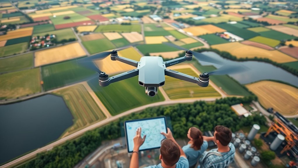
Drone mapping technology has revolutionized how we capture and analyze geographical data. By employing advanced drone sensors, you can collect high-resolution imagery and precise measurements over vast areas in a fraction of the time traditional methods require. These sensors, which may include RGB cameras, multispectral, and LiDAR systems, enhance the accuracy of your data collection. Coupled with sophisticated mapping software, you’re able to process this information effectively, generating detailed 2D and 3D maps tailored to your specific needs. This integration of real-time data acquisition and analytical software not only streamlines workflows but also empowers you with the freedom to make informed decisions based on reliable geographical insights. Understanding these elements is essential for harnessing the full potential of drone mapping technology. Additionally, selecting the right drone, such as the Wingtra One for its high-resolution imagery capabilities, can significantly impact the quality of the data collected. The longer endurance of drones like the Wingtra One enhances potential for extensive data collection in a single mission.
Key Components of Drone Mapping Systems
The effectiveness of drone mapping largely hinges on its key components, each playing an essential role in data collection and analysis. You’ll find that sensor technologies, including LiDAR and multi-spectral cameras, capture vital aerial imaging data. This data is then processed through advanced mapping software, enabling seamless data integration and facilitating geospatial analysis. To guarantee precision, flight planning is fundamental, determining ideal flight paths. Automation tools enhance efficiency by managing flight operations, while real-time processing allows for immediate data evaluation. Additionally, mapping precision is critical as it ensures the accuracy of the data collected during the missions, making it possible to achieve sub-centimeter resolution in challenging environments.
Here’s a quick overview of these components:
| Component | Function | Importance |
|---|---|---|
| Sensor Technologies | Capture data | Foundation of mapping |
| Mapping Software | Process and analyze data | Converts data into usable maps |
| Flight Planning | Optimize flight paths | Guarantees coverage and accuracy |
The Process of Drone Mapping
While the technology involved in drone mapping is impressive, understanding the process itself is essential for effective implementation. First, you’ll need to plan your flight path, optimizing it based on the area’s topography and desired resolution. Following this, you can leverage drone technology advancements to guarantee your UAV is equipped with high-resolution cameras for capturing detailed imagery. During flight, employ aerial photography techniques that allow for overlapping images, which are imperative for creating accurate maps. Additionally, utilizing superior mapping precision from advanced sensors enhances the accuracy of your mapping efforts. After collecting data, it’s critical to process the images using specialized software, stitching them together to generate a coherent visual representation. This meticulous approach guarantees that you harness the full potential of drone mapping, empowering you to make informed decisions based on precise, data-driven insights.
Data Collection Techniques
After processing the images gathered during your flight, understanding the various data collection techniques is essential for optimizing results. Mastering the right data acquisition methods can greatly enhance your aerial surveys. Here are four key techniques to evaluate:
Understanding diverse data collection techniques is crucial for optimizing aerial survey results and enhancing overall effectiveness.
- Photogrammetry: Captures overlapping images to create 3D models.
- LiDAR: Uses laser pulses to measure distances and capture precise terrain data.
- Multispectral Imaging: Collects data at different wavelengths for agricultural and environmental analysis, leveraging precision farming strategies to optimize crop health and resource utilization.
- Thermal Imaging: Detects temperature variations, useful for building inspections and wildlife tracking. Additionally, integrating advanced algorithms into your data collection process can streamline the transition from raw captures to actionable insights.
Image Processing and Analysis
To guarantee accurate and actionable insights from your drone-collected data, effective image processing and analysis are critical. This involves several key steps, beginning with image classification, where algorithms categorize data based on features detected in the imagery. You’ll want to apply techniques like supervised learning to improve classification accuracy, ensuring that every pixel is meaningfully interpreted. Once classified, data visualization techniques come into play, transforming complex datasets into understandable formats. Tools like heat maps or 3D models can help you visualize the spatial distribution of features, making it easier to draw conclusions. By focusing on these processes, you’ll harness the full potential of your drone data, leading to informed decisions that align with your desire for autonomy in exploration and project execution. Additionally, leveraging AI-driven analytics can further enhance the interpretation of your data, providing deeper insights into environmental patterns. Furthermore, the integration of real-time data collection allows for immediate adjustments and more responsive analysis, ensuring that your findings remain relevant and actionable.
Applications of Drone Mapping
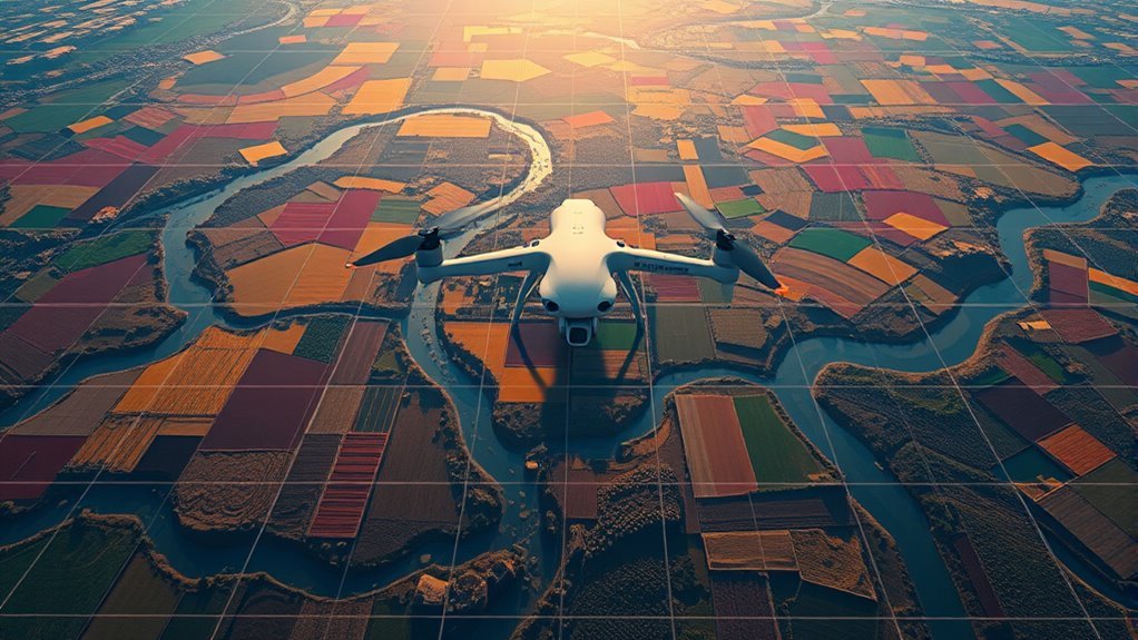
Drone mapping offers transformative applications in sectors like agriculture and construction. In agriculture, you can monitor crop health and optimize yields through detailed aerial imagery, while in construction, precise topographic maps aid in infrastructure planning and project management. By integrating drone technology into these fields, you’re enhancing efficiency and accuracy markedly. Additionally, advanced geofencing systems can further improve safety and operational efficiency in agricultural drone applications. Furthermore, utilizing real-time soil assessment enhances decision-making processes by providing crucial data for crop management.
Agriculture and Crop Monitoring
In the domain of agriculture, the integration of drone mapping technology has revolutionized crop monitoring practices. By leveraging this advanced technology, you can enhance precision agriculture and optimize various farming aspects. Here are four key benefits you can achieve:
- Crop Health Assessment: Monitor plant health and detect stress early.
- Yield Estimation: Accurately predict harvest outcomes based on real-time data.
- Pest Detection: Identify pest infestations quickly to mitigate damage.
- Soil Analysis: Evaluate soil conditions for better irrigation management and crop rotation planning.
With drone mapping, your farm planning becomes more efficient, enabling better land use and ultimately leading to improved harvest optimization. This technology empowers you to make informed decisions, fostering greater freedom in your agricultural endeavors.
Construction and Infrastructure Planning
As construction projects become increasingly complex, leveraging drone mapping technology can greatly enhance infrastructure planning and management. By utilizing drones for site surveys, you can gather high-resolution aerial imagery and topographical data quickly and efficiently. This data aids in creating accurate 3D models, allowing for better visualization and analysis of the project site. With this real-time information, you can streamline project management, identify potential issues early, and make informed decisions. Furthermore, drones provide a cost-effective alternative to traditional surveying methods, greatly reducing time and labor costs. Ultimately, integrating drone mapping into your construction workflow not only enhances precision but also grants you the freedom to innovate and optimize your infrastructure projects effectively.
Benefits of Using Drones for Mapping
The integration of drones into mapping processes brings a host of benefits that greatly enhance efficiency and accuracy. By utilizing drone technology, you can achieve significant improvements in various aspects of mapping. Here are four key benefits:
- Cost Efficiency: Drones reduce the need for extensive manpower and equipment, lowering overall project costs.
- Real Time Data: Drones capture and process data instantly, allowing for real-time decision-making and adjustments.
- High Precision: Advanced sensors and imaging technology provide highly detailed maps, increasing overall accuracy.
- Accessibility: Drones can easily survey difficult-to-reach areas, ensuring thorough coverage without risking safety.
Additionally, drones can support precision agriculture by providing high-resolution imagery for effective crop monitoring and resource management. Incorporating drones into your mapping efforts not only streamlines the process but also empowers you with unparalleled insights and flexibility.
Challenges and Limitations
When engaging in drone mapping, you’ll encounter several challenges that can affect your outcomes. Data accuracy can fluctuate due to various factors, including sensor limitations and environmental conditions. Additionally, adverse weather and regulatory restrictions can greatly hinder your ability to collect and process mapping data effectively. Furthermore, battery capacity plays a crucial role in determining the operational duration of your drone, potentially limiting the extent of your mapping efforts. This is especially relevant when considering drones like the Autel EVO Lite+ V2, which boasts superior battery capacity compared to others in its class.
Data Accuracy Issues
While drone mapping offers significant advantages in efficiency and coverage, it isn’t without its challenges, particularly regarding data accuracy. To guarantee reliable outcomes, you need to address several key issues:
- Geolocation Errors: Inaccurate positioning can skew results.
- Sensor Limitations: The quality of the drone’s sensors directly affects the data’s fidelity.
- Data Validation Techniques: Employing robust validation methods can help identify discrepancies.
- Precision Enhancement Strategies: Utilizing advanced algorithms and software can enhance overall accuracy.
Weather Conditions Impact
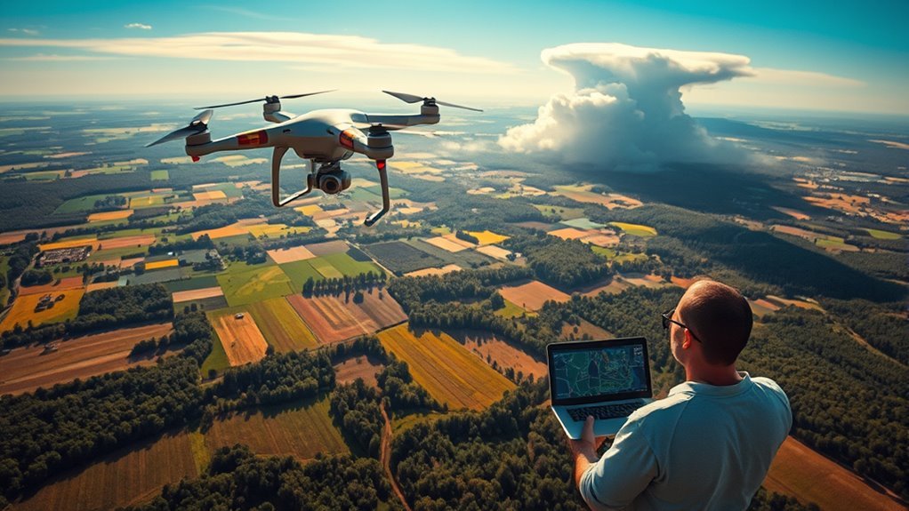
Although drone mapping can deliver precise data, adverse weather conditions can considerably hinder performance and accuracy. Factors like wind, rain, and temperature fluctuations can affect flight stability and sensor functionality, leading to compromised results. Understanding these environmental factors is essential for effective planning.
| Weather Condition | Impact on Drone Performance | Recommended Action |
|---|---|---|
| High Winds | Instability, reduced control | Delay flight operations |
| Rain | Sensor malfunction | Use waterproof equipment |
| Low Temperatures | Battery efficiency decline | Monitor battery levels closely |
Regulatory Restrictions Challenges
As drone mapping technology evolves, regulatory restrictions pose significant challenges that can limit operational capabilities and data collection efficiency. To navigate this complex landscape, you need to be aware of:
- Regulatory Compliance: Adhering to local and federal laws is vital for legal operation.
- Airspace Restrictions: Understanding no-fly zones can prevent costly violations and operational delays.
- Safety Regulations: Meeting safety standards guarantees both the operator’s and public’s safety, impacting data collection methods.
- Privacy Concerns: Respecting individual privacy rights is paramount, especially when mapping residential areas.
Additionally, licensing requirements and operational guidelines must be followed to avoid penalties. Staying informed and proactive about these challenges can empower you to maximize your drone mapping capabilities while guaranteeing compliance and safety.
The Future of Drone Mapping Technology
The future of drone mapping technology promises to revolutionize industries by integrating advanced artificial intelligence and machine learning algorithms. As you explore future trends, expect drones to become smarter, capable of autonomous data collection and real-time processing. These technological advancements will enhance accuracy, reduce operational costs, and streamline workflows across sectors like agriculture, construction, and environmental monitoring. You’ll see drones equipped with enhanced sensors and imaging technologies, enabling more detailed and precise mapping. Additionally, the integration of big data analytics will allow for deeper insights, empowering you to make data-driven decisions. As regulations evolve, these innovations will foster greater freedom in data collection and analysis, revealing unprecedented possibilities in drone mapping applications. Furthermore, AI-driven autonomous navigation will ensure safer and more efficient mapping processes, allowing for seamless integration into various industries.
Frequently Asked Questions
What Types of Drones Are Best for Mapping Purposes?
When it comes to mapping, you’ll want drones equipped with high-quality sensors and advanced mapping technologies. Look for models like the DJI Phantom 4 RTK or senseFly eBee X; they’ll have you soaring with precision.
How Much Does Drone Mapping Typically Cost?
When considering the cost of drone mapping, it’s essential to evaluate cost factors like project size, complexity, and equipment. Typically, fees can range widely, so understanding these elements helps you budget effectively for your needs.
Are There Legal Restrictions on Drone Mapping?
When maneuvering drone mapping, you’ll encounter regulatory compliance and airspace restrictions, akin to a tightrope walker balancing between freedom and regulation. Understanding these legalities guarantees your mapping projects remain compliant and successful, avoiding potential pitfalls.
What Qualifications Do Drone Operators Need for Mapping?
To operate drones for mapping, you’ll need proper certification requirements, which often include a remote pilot certificate. Operator training guarantees you understand flight regulations, safety protocols, and mapping techniques, enabling effective and compliant drone operations.
How Long Does a Drone Mapping Project Usually Take?
A drone mapping project’s duration varies based on area size and complexity, typically lasting from a few hours to several days. Optimizing mapping efficiency is essential for timely results, enhancing overall project duration considerably.
