Reviews
Sky Rider XG-34 Drone vs Competitors: Which Is the Best Choice?
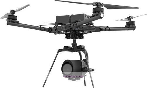
Choosing the right drone is rarely just about finding the lowest price or the highest camera resolution on a product page. For buyers comparing the Sky Rider XG-34…
Read More →