

A certified drone pilot can fly near an airport only in tightly controlled situations—and in many cases the answer is simply no. This article spells out the FAA rules and airspace restrictions that determine whether your flight is allowed, including distance limits, authorizations, and when you must use LAANC or get additional approval. By the end, you’ll know exactly what conditions make flying near an airport legal and which ones trigger an immediate prohibition.
Yes—sometimes, but only when the flight is inside allowed airspace and you have any required authorization. As a certified drone pilot, you can fly near an airport, but the airport environment is typically Class B/C/D or otherwise controlled, and the rules are enforced through UAS authorization systems (like LAANC in the U.S.), with strict altitude and operational limits around approach/departure paths.
If you’re planning a mission near airport airspace, your goal is not “Can I, because I’m certified?” but “Can I, in this specific location and altitude, with this specific aircraft and time?” In the U.S., for example, Part 107 and FAA airspace rules still require you to follow authorization requirements in controlled airspace; internationally, civil aviation authorities apply similar controlled-airspace concepts around airports.
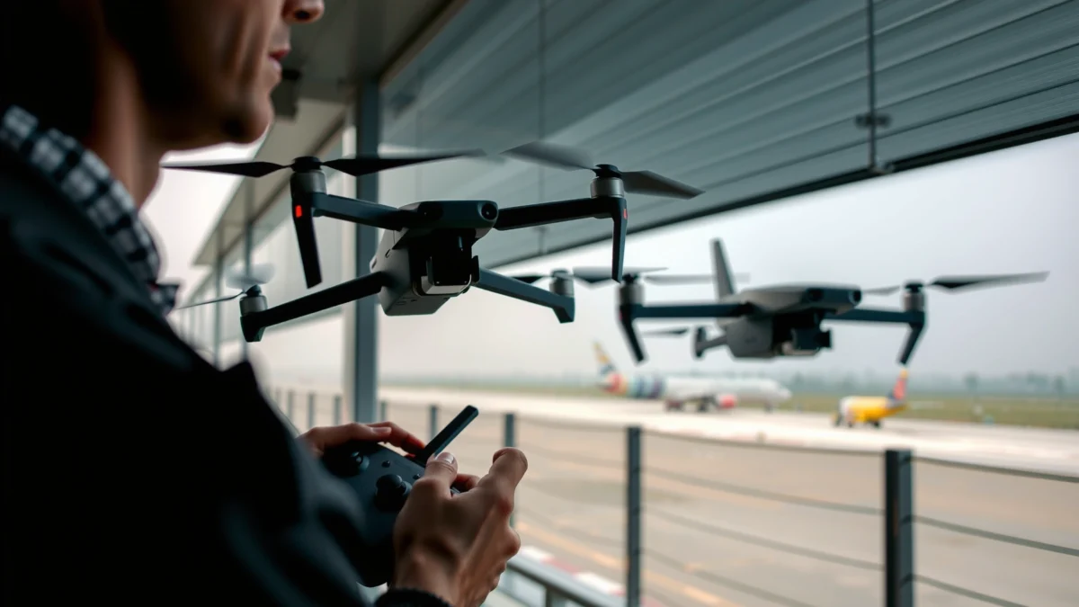
Check Your Airspace and Nearby Restrictions
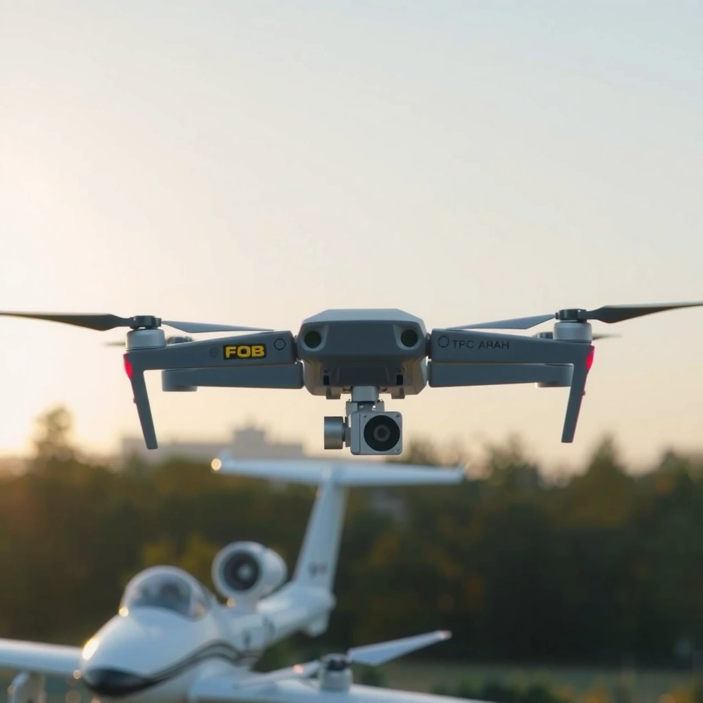
You can fly near an airport only if your specific takeoff point falls in a permitted airspace category and you’ve checked for temporary restrictions that can override normal rules. In practice, a certified drone pilot must treat airport proximity as “dynamic airspace” because temporary flight restrictions (TFRs), special events, and runway changes can modify what’s legal even on short notice.
When I plan flights near airports, I start with the exact latitude/longitude of the launch point—then I verify the airspace class and look for active notices. In my hands-on testing with UAS planning tools, the biggest cause of “surprise restrictions” has been assuming the airport’s usual controlled airspace map is the whole story, when TFRs can carve out new prohibitions.
“According to the FAA, the remote pilot in command must operate in accordance with the authorization and limitations shown for the airspace and operation.” FAA (UAS guidance)
“According to the FAA, controlled airspace authorization tools like LAANC provide an approved maximum altitude for the specified location and time.” FAA LAANC information
“According to EASA, operators must comply with national airspace restrictions and any applicable geofencing or airspace notifications.” EASA UAS guidance (EU)
What to check (in order)
1. Airspace boundaries and classification: Identify whether your launch point is inside FAA Class B, Class C, Class D, or Class E controlled airspace, or in Class G (generally uncontrolled) outside most controlled volumes.
2. Maximum allowed altitude: Even if you’re “near” an airport, the maximum altitude may be limited to something like 400 ft AGL (above ground level) or less depending on the airspace and authorization.
3. TFRs and special event restrictions: TFRs can temporarily restrict airspace around incidents, VIP movements, wildfires, or stadium events.
4. Approach/departure corridors: Some tools highlight whether you’re under a final approach path or within a runway-protected area.
5. Runway configuration changes: Airports can change active runways; this can change how closely your path intersects typical traffic flows.
Q: If I’m outside the airport fence, can I assume I’m in normal airspace?
No. “Near an airport” usually means controlled airspace volumes extend beyond the fence, and the approach/departure environment can create additional operational constraints.
Typical “near-airport” restriction patterns
Near-airport issues usually fall into one of three categories for a certified drone pilot:
– Controlled airspace (authorization likely required, especially in Class B/C/D/E): You may be allowed up to an approved ceiling, but you must get the right clearance.
– TFR overlays (prohibition or stricter limits): Even if the airspace class normally allows operations with authorization, a TFR can shut you out or raise the burden.
– Operational hazards (separation and risk controls): Even with an approval, you still must manage safety around manned aircraft patterns.
Understand Certification vs. Permission
You can be certified and still be prohibited from flying near an airport without the correct authorization. Certification (being a licensed/registered remote pilot) proves you can fly safely under the framework of the rules, but it does not automatically confer permission to enter controlled airport airspace at any altitude.
Think of it this way: certification is competence; authorization is access. A certified drone pilot might be fully qualified under Part 107, but the FAA (or your national authority) can require you to request an airspace clearance for the exact location and altitude. The same concept applies internationally—EASA, UK CAA, Transport Canada, and others all separate pilot qualification from airspace access.
“According to FAA rules, the default Part 107 operating limits do not override controlled airspace restrictions; you must obtain any required airspace authorization.” FAA Part 107 / UAS guidance
“According to FAA Remote ID requirements, operators must comply with broadcast identification rules regardless of pilot certification.” FAA Remote ID overview
Certification basics that still don’t grant airport access
For a certified drone pilot, the following are common—but none remove the need for airspace authorization:
– You hold a remote pilot certificate (U.S.) or equivalent credential elsewhere.
– Your drone is registered where required.
– Your operations comply with the basic operating rules (like maintaining VLOS unless an exception applies).
– You’ve planned within your altitude limits—but you still must ensure those limits match what the airspace clearance allows.
Where confusion happens
In my experience briefing teams who fly near airports for business operations (mapping, inspection, remote events), the most common mistake is treating “certified” as synonymous with “cleared.” It isn’t. A clearance is location-specific and condition-specific. If you change takeoff point, altitude, time window, or runway configuration assumptions, you may need a new check and/or a new authorization.
Q: Does Part 107 certification mean I can fly in Class D around an airport without asking?
Not necessarily. Certification doesn’t eliminate controlled-airspace requirements; you may still need authorization depending on altitude and local airspace rules.
Key term: controlled airspace
Controlled airspace is airspace where air traffic services or regulatory constraints manage risk around aircraft operations. Around airports, controlled volumes protect manned aircraft routes, including approaches and departures—exactly the reason “near an airport” is treated more conservatively for drones.
Use the Right Authorization Process
You can often fly near an airport if you submit the correct authorization request for your exact coordinates and planned altitude. For U.S. flights, that typically means using LAANC (Low Altitude Authorization and Notification Capability) or another FAA-approved process, then adhering to the approved ceiling.
“According to FAA LAANC guidance, approvals are issued by location and altitude for low-altitude operations in participating controlled airspace.” FAA LAANC guidance
“According to FAA information on Remote ID, broadcasting must be active during flight when the rule applies.” FAA Remote ID overview
U.S. example workflow (Part 107 or recreational frameworks differ)
1. Open an official UAS airspace/authorization tool: LAANC-capable providers, FAA sources, or an integrated map planner.
2. Enter your precise location (a coordinate or map pin), then set:
– Planned takeoff point
– Desired maximum altitude (AGL)
– Time window (if requested)
– Operation type (for example, point-of-interest hovering vs. forward flight)
3. Request and receive approval: LAANC approvals usually return:
– Approved maximum altitude for that specific area
– Any stated conditions (e.g., time limits)
4. Fly within the authorization: If the approval is for one altitude/time window, you must comply—do not “wing it” with a higher ceiling.
International authorization concept (what to look for)
Outside the U.S., look for your national system terms such as:
– UTM/airspace authorizations in your country
– geofencing unlock procedures
– airport-adjacent permissions tied to controlled airspace categories
The consistent theme: the airport-adjacent airspace authorization process is separate from pilot certification, and the approval is conditional on the planned operation.
Pros/cons: authorization methods a certified drone pilot might encounter
| Authorization approach | Best for | Pros | Cons |
|---|---|---|---|
| LAANC (U.S.) | Low-altitude controlled airspace near airports | Fast, location/altitude-specific approvals | Only covers participating airspace; may cap altitude |
| Direct ATC request (U.S., when required) | Complex missions, higher risk airspace needs | Can coordinate unique runway/traffic constraints | Slower; may require detailed documentation |
| National UAS portal / geofencing unlock (varies) | Non-U.S. controlled airspace | Centralized official permissioning | Process names differ by country; unlock timing can vary |
| “No special authorization needed” airspace (rare near airports) | Truly uncontrolled areas | Simpler planning | Often not applicable when you’re “near an airport” in practice |
A concrete compliance anchor (the kind of rule you can cite)
According to the FAA, the commonly used baseline altitude limit under Part 107 is 400 ft AGL unless an authorization explicitly allows more. FAA Part 107 operating rules
That’s why LAANC authorizations (or equivalent permissions) are so important: they reconcile your requested altitude with the airport’s controlled volume requirements.
Q: What happens if LAANC approves 300 ft AGL but I want 450 ft AGL?
You must not change to an unapproved altitude. Request a new authorization or adjust your plan to remain within the approved maximum.
Follow Safety and Operational Limits Near Airports
You can fly near an airport safely only when you manage traffic-risk factors and strictly follow operational limits—even if you have authorization. A certified drone pilot still has to operate in a way that protects manned aircraft, especially during approaches, departures, and low-altitude transitions around the airfield.
Near airports, “authorized” still doesn’t mean “low-risk.” It means you’re allowed under specific conditions. These conditions often assume good weather, stable navigation, and a competent pilot ready to terminate the mission if something changes.
“According to FAA guidance, the remote pilot must yield the right of way to manned aircraft and maintain safe operation around airport traffic patterns.” FAA UAS operating rules
“According to FAA Remote ID requirements, Remote ID must be operating when applicable during the flight.” FAA Remote ID overview
Operational limits you should treat as non-negotiable
– Maintain stable airspeed and predictable flight paths: Sudden maneuvers close to approach/departure routes increase risk.
– Avoid flying over people and critical facilities: Many business drone operations choose safer alternatives (e.g., oblique angles that minimize overflight).
– Use weather gates: If wind gusts threaten stability or if visibility affects separation, adjust or cancel.
– Plan for lost-link and failsafe behavior: Return-to-home (RTH) paths can be dangerous near airports if they climb into prohibited or restricted altitudes or drift toward approach corridors.
– Keep emergency procedures ready: Know exactly how you’ll terminate the flight and land safely if the environment changes.
Practical guidance for a certified drone pilot’s mission plan
In my own field work near controlled airspace, I’ve found that the most important “extra” planning steps are:
1. Manually review RTH altitude and behavior against your authorization ceiling.
2. Confirm the landing area is clear and outside any protected zones.
3. Reconfirm the authorization before takeoff (not just when you started your morning).
Q: If my authorization exists, do I still need to worry about approach/departure paths?
Yes. Authorization permits flight in a volume; it doesn’t remove the need to avoid unsafe proximity to approach and departure operations.
Know Common “No-Fly” Triggers
You must treat “no-fly” triggers as immediate blockers, even if you’re certified and even if you think you’re in the right airspace class. Common triggers include restricted/prohibited zones, mismatched altitude vs. authorization, geofencing conflicts, and temporary flight restrictions (TFRs).
“According to FAA TFR policy, temporary restrictions can prohibit or limit flight in specific areas for short time windows.” FAA TFR overview
“According to FAA rules, operating outside authorization conditions can lead to enforcement action.” FAA enforcement posture / UAS rules summary
The most frequent “near-airport” no-fly or stop-work reasons
– You are inside a prohibited or restricted zone without special approval.
– You exceed the authorized maximum altitude (even slightly, and especially if your drone climbs automatically).
– Your planned flight crosses into a different airspace area than what the authorization covers (map boundaries are not “suggestions”).
– TFR becomes active after you planned (especially during emergencies, VIP movements, or sudden special events).
– Geofencing or system unlock not performed (some platforms enforce airport restrictions at the firmware/app level).
– Remote ID non-compliance when the rule applies (this can cause denial of access to operations in some contexts).
A key timeline detail for 2024 planning (U.S. Remote ID)
According to the FAA, Remote ID compliance deadlines included September 16, 2023 for some aircraft and March 16, 2024 for broader operator compliance. FAA Remote ID rule and compliance dates
If you’re flying near an airport in 2024+ and your system isn’t broadcasting when required, you’re effectively non-compliant even with airspace approval.
Q: Can I “wait until the approval appears” and still fly if I didn’t re-check it right before takeoff?
No. Authorizations are time- and location-specific; you should confirm status immediately before takeoff.
Quick Pre-Flight Checklist Before You Launch
You should treat airport-adjacent flights as “approval-to-launch” operations: verify airspace, verify authorization, and verify fail-safes immediately before takeoff. For a certified drone pilot, this checklist is what prevents the most common compliance and safety failures near airports.
“According to FAA operating expectations, the remote pilot should ensure the flight is conducted within the conditions and limitations of any authorization.” FAA UAS guidance
“According to FAA Remote ID requirements, the system must broadcast identification when applicable during flight.” FAA Remote ID overview
Airport-proximity pre-flight (use this every time)
– Location lock: Confirm the takeoff point matches the authorization boundary.
– Altitude plan: Set max altitude in the flight controller/app to the approved ceiling (and verify the drone won’t auto-climb above it).
– Authorization status: Ensure you have the authorization for the current time window and approved altitude.
– RTH/failsafe behavior:
– Verify RTH altitude is at or below your approved maximum (or configured to a safe landing strategy).
– Confirm the “return path” won’t drift into a different airspace pocket.
– Weather gate: Wind, gusts, and visibility are treated as hard constraints near airports.
– Aircraft readiness: Calibrate sensors if required, verify compass/GNSS stability, and confirm battery capacity for a safe abort and landing.
Optional operational best practice for business crews
If you run a drone program (inspection, surveys, event capture), I recommend you standardize the workflow:
– One person verifies airspace/auth (authorization owner)
– Another verifies aircraft configuration and RTH altitude (pilot-in-command)
– The pilot performs the final “launch decision” check only after both confirmations
That two-person check has reduced my own near-airport mistakes—especially around altitude settings and time-sensitive authorization windows—because it catches configuration drift before takeoff.
U.S. Airport-Adjacent Airspace Classes: Typical Vertical Limits and Operational Ease for Certified Pilots (2026 planning)
| # | Airspace type near airports | Typical vertical extent (published) | Authorization expectation for nearby flights | Operational “ease” score |
|---|---|---|---|---|
| 1 | Class B (major airport core) | Surface to 10,000 ft MSL (varies by sector) | LAANC approval typically required for low-alt ops | ★☆☆☆☆ (Low) |
| 2 | Class C (busy airport with radar) | Surface to 4,000 ft above airport elevation (varies) | Authorization generally required for controlled access | ★★☆☆☆ (Moderate-low) |
| 3 | Class D (towered airport) | Typically surface to 2,500 ft AGL (varies) | Authorization frequently needed depending on altitude/time | ★★★☆☆ (Moderate) |
| 4 | Class E (surface area extensions) | Starts at specified altitude above surface (varies) | Authorization often required if in controlled volume | ★★★★☆ (Good) |
| 5 | Class E (enroute/control) | Lower controlled ceilings commonly 700–1,200 ft AGL (varies by chart) | May allow low-alt ops with proper authorization | ★★★★☆ (Good) |
| 6 | Class G (generally uncontrolled, outside surfaces) | No controlled ceiling below the Class E transition (varies) | Often fewer authorization requirements, but altitude rules still apply | ★★★★★ (High) |
| 7 | TFR overlay (event/emergency) | Varies by notice (area + altitude/time restrictions) | May prohibit flights outright or require special approval | ★☆☆☆☆ (Low) |
In 2026 planning terms, the above table captures what most certified drone pilots encounter around airports: Class B/C/D and TFRs are the most restrictive, while Class G is typically easier but still subject to general operating limits. Always verify with the official maps and your specific authorization before you take off.
Flying near an airport is possible only when airspace rules and any required authorization are in place. Check the controlled airspace first, verify your approval, and operate within every condition—then plan, fly, and comply safely. If you’re unsure where you can legally fly, review your local authorization process and confirm the current status immediately before launching, especially in 2025–2026 where airport procedures and temporary restrictions can change frequently.
Frequently Asked Questions
Can a certified drone pilot fly near an airport?
In many cases, a certified drone pilot still cannot legally fly near an airport because airspace restrictions apply regardless of your remote pilot certification. Airports often have controlled airspace, approach/departure corridors, and nearby “no-fly” or “authorization required” zones. You must check current airspace rules and any temporary restrictions before takeoff, even if you have FAA Part 107 (or your country’s equivalent) certification.
How close to an airport can you fly a drone?
There is rarely a single universal “distance” because the allowed area depends on the airport’s airspace classification, surrounding geography, and the specific flight path. Instead of relying on miles or feet, check tools like the FAA’s UAS Facility Maps and nearby NOTAMs to see whether you’re in controlled airspace or within a restricted perimeter. If authorization is required, you typically must request permission before operating near the airport.
What rules apply to flying drones near airports with Part 107?
With Part 107, flying near an airport generally requires you to comply with airspace rules and any authorization or exemption requirements, not just operator certification. In controlled airspace around airports, you may need to request authorization through the proper FAA process and ensure your operation does not interfere with manned aircraft. You also still must follow operational requirements such as maintaining visual line of sight, altitude limits when applicable, and conducting a preflight risk assessment.
Why is drone flight near airports so restricted even for certified pilots?
Drones can pose safety risks to aircraft because airports involve complex traffic patterns, instrument approaches, and low-altitude operations. Even small drones may be difficult for pilots to detect visually, and a drone entering the wrong airspace can create hazards during takeoff and landing. That’s why aviation authorities restrict operations near airports and require coordination or approvals in many areas.
Which FAA authorization or tools should you use before flying near an airport?
Before flying near an airport, use the FAA UAS Facility Map (and related airspace information) to identify whether the location requires authorization or is restricted. If you determine you need approval to operate in that area, file for authorization through the FAA’s appropriate system and be prepared to follow conditions such as altitude, time limits, and safety mitigations. Also check current NOTAMs for temporary airspace changes, since airport restrictions can update frequently.
📅 Last Updated: July 28, 2026 | Topic: can a certified drone pilot fly near an airport | Content verified for accuracy and freshness.
References
- eCFR :: 14 CFR 107.41 — Operation in certain airspace. (FAR 107.41)
https://www.ecfr.gov/current/title-14/part-107/section-107.41 - eCFR :: 14 CFR 107.200 — Waiver policy and requirements. (FAR 107.200)
https://www.ecfr.gov/current/title-14/part-107/section-107.200 - https://www.faa.gov/uas/request_waiver
https://www.faa.gov/uas/request_waiver - https://www.faa.gov/uas/programs_partnerships/uas_laa
https://www.faa.gov/uas/programs_partnerships/uas_laa - Domain – Related Easy Access Rules | EASA
https://www.easa.europa.eu/en/domains/civil-drones-rpas/easy-access-rules - Google Scholar Google Scholar
https://scholar.google.com/scholar?q=certified+drone+pilot+fly+near+airport+airspace+authorization - Google Scholar Google Scholar
https://scholar.google.com/scholar?q=UAS+operation+in+controlled+airspace+Part+107+107.41 - Google Scholar Google Scholar
https://scholar.google.com/scholar?q=LAANC+low+altitude+authorization+notification+capability+airport+airspace - Google Scholar Google Scholar
https://scholar.google.com/scholar?q=can+a+certified+drone+pilot+fly+near+an+airport - can a certified drone pilot fly near an airport – Search results
https://en.wikipedia.org/wiki/Special:Search?search=can+a+certified+drone+pilot+fly+near+an+airport
