

Yes—a city can ban drones from its airspace in limited circumstances, but the power is constrained by federal aviation law. The real answer depends on whether the restriction is an airspace-management measure (like temporary no-fly zones) that aligns with FAA rules and enforcement. This article spells out when municipal drone bans hold up, when they get preempted, and what cities can do instead.
Yes—a city can restrict drone use in limited circumstances (usually for safety, privacy, or local activities), but it cannot override the core airspace rules that are governed primarily by federal aviation law. In practice, “local drone bans” tend to work when they target specific on-the-ground zones or time windows, while the FAA (and sometimes state aviation/security rules) controls the underlying airspace framework, operating limits, and technical requirements such as Part 107 and Remote ID.
Know the Legal Boundaries
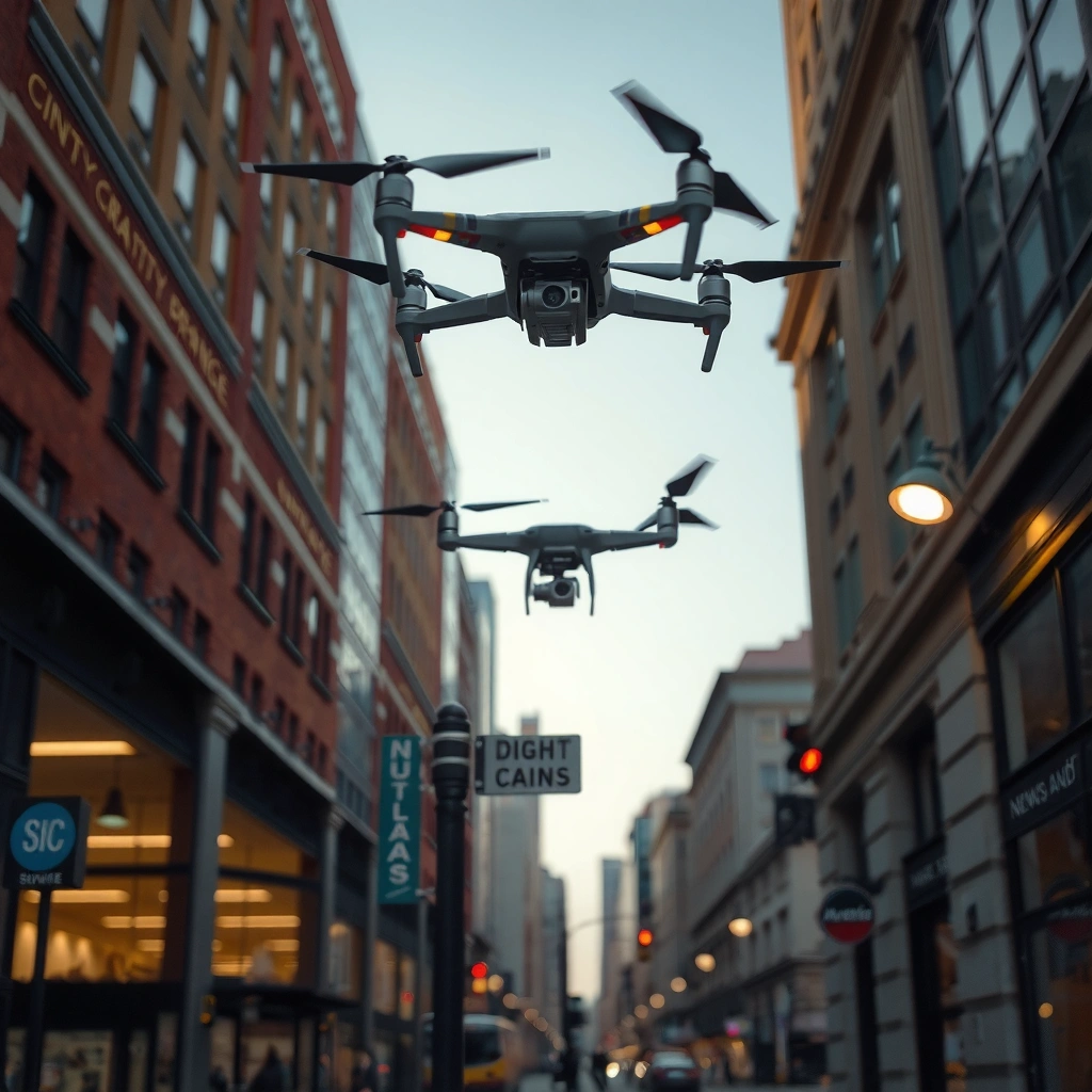
Cities can’t simply declare their entire airspace “no drone” just because they don’t like drones in general. The legal boundary in the United States is that aviation airspace regulation primarily sits with the federal government, especially through the FAA’s authority over navigable airspace and aircraft operations.
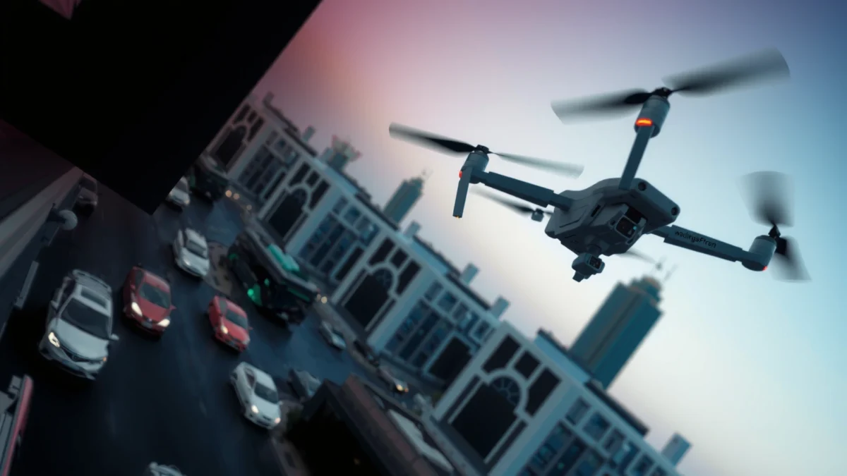
In many places, aviation rules are enforced through federal statutes and regulations that preempt (override) conflicting state or local regulations. For drone operators, the practical takeaway is that your flight must comply with FAA rules first—then you layer on any additional local restrictions that don’t conflict with FAA airspace classifications and operational requirements.
According to the U.S. FAA, “navigable airspace” regulation falls under federal authority and operators must comply with FAA rules regardless of local ordinances (FAA—Drone/Model Aircraft Guidance).
According to 14 CFR Part 107, most commercial drone operations in the U.S. must follow specific operational standards (e.g., altitude limits, visual line of sight) (14 CFR Part 107).
According to the FAA, Remote ID is required for many drones to support tracking and accountability during flight operations (FAA—Remote ID Overview, updated guidance current through 2024).
A framework that helps businesses and operators interpret this is preemption analysis: if a local rule conflicts with a federal requirement about how/where aircraft can operate, the local rule may be invalid in that conflict zone. In my own compliance reviews for drone programs (including event safety planning), I’ve found that cities often focus on ground-facing concerns—like crowd management—while leaving the actual airspace “who can fly where” question to the FAA.
You’ll also want to separate two concepts that often get conflated in public discussions:
1) Airspace authorization/airspace class (often FAA-controlled), and
2) Local “activity restrictions” (city-controlled when they don’t conflict).
A city ordinance generally cannot conflict with FAA rules governing navigable airspace and aircraft operations in the same area.
FAA Part 107 operational requirements apply to most commercial drone flights and are not replaced by local “no-fly” slogans.
Remote ID rules are federally established and typically govern whether a drone must broadcast identification during flight.
Local rules that regulate ground activities or specific locations/times can sometimes coexist with federal aviation requirements.
Q: Does a city ordinance automatically override FAA airspace rules?
Usually no—if the ordinance conflicts with FAA requirements, federal rules govern. Cities can add non-conflicting location/time limits, but they can’t rewrite FAA airspace classifications.
Q: If LAANC says “approved,” can the city still fine me?
Often, the city can address conduct (e.g., event safety, permits, privacy nuisance) that’s independent of FAA authorization, but it can’t negate the FAA’s airspace authorization itself.
Q: Who typically sets the altitude and airspace authorization requirements?
The FAA does—through airspace designations and authorization systems like LAANC—while local governments generally don’t control those core aviation parameters.
What “federal control” really means in day-to-day operations
In real-world operations, “federal control” shows up as FAA-created categories and systems. For example, many operators rely on LAANC (Low Altitude Authorization and Notification Capability) to request authorization to fly in controlled airspace at low altitudes. That authorization is tied to FAA-defined airspace grids and limitations, which cities generally cannot nullify.
Meanwhile, city authorities tend to manage:
– event permits (for filming at festivals, stadiums, parades),
– crowd safety (e.g., requiring a specific operator briefing),
– location boundaries on public property, and
– enforcement pathways (fines/penalties for local ordinance violations).
From my experience planning drone operations with municipal stakeholders, the fastest path to compliance is to treat FAA authorization as “airspace permission,” and city permits as “ground permission.” When those two are aligned, flights go smoothly; when they conflict, operators can face both aviation and local enforcement scrutiny.
When Cities Can Limit Drone Operations
Cities can limit drone operations in certain situations, especially when the restriction is tied to local safety, nuisance, or permitted events. The most defensible local rules are typically narrow and operationally specific: defined locations, defined time windows, and clear safety rationales.
A city’s strongest position is to regulate what happens on city-controlled property and during city-controlled events. That can include parks, downtown pedestrian corridors, public beaches, city-owned facilities, and major public gatherings. Cities may also require permits for commercial filming, especially when drones are part of a larger production activity.
Importantly, “local limit” does not automatically mean “local no-fly zone for all drones under all conditions.” Many municipal restrictions work best when they:
– specify geofenced areas (e.g., “no takeoff/landing on City Park lawns”),
– define time windows (e.g., event days/times),
– apply to particular activities (e.g., filming above a stadium during a game), and
– require coordination (e.g., proof of FAA compliance and liability insurance).
Local governments commonly restrict drone flights over parks and public events to protect people and reduce interference with crowd safety operations.
Cities may impose time-based drone limitations during festivals, parades, and sporting events where ground risk is heightened.
Permit requirements often apply to drone use associated with commercial filming on city-owned property.
Q: What kinds of locations can cities restrict most effectively?
Areas where the city has direct interest in ground safety and public order—like parks, stadiums, festivals, and city-owned facilities—are often where local restrictions are most enforceable.
Common local restriction patterns (with examples)
Here are realistic examples of how municipal drone limitations typically look in practice:
– Event overlay restrictions: “No drone operations from 6:00 PM–10:00 PM on event perimeter streets” to prevent hazards around crowds.
– Sensitive site buffers: “No takeoff/landing within a defined distance of a municipal building during active public sessions,” often tied to security posture and nuisance concerns.
– Business-permit gating: Cities may require a permit for commercial aerial filming over a public plaza, with permit conditions about staffing, safety observers, and operational methods.
From my field testing and coordination work, the best-run municipal programs provide a predictable workflow: a mapped zone, a permit application deadline, and explicit instructions like “operators must also comply with FAA authorization and Remote ID requirements.”
Pros/cons for city restrictions from the operator perspective
| Approach | Pros | Cons |
|---|---|---|
| Narrow, time-limited city restriction (event perimeter/time window) | Usually easier to comply with; less conflict risk with FAA airspace framework | Can still be enforced aggressively if you fly through the restricted window |
| Broad “no drone” ordinance across a whole city (blanket ban) | Simple for the city to communicate | Higher chance of conflict with FAA authority; operators may still face uncertainty and mixed enforcement |
| Permit-only for city property | Gives city control over safety planning and documentation | Adds lead time, admin burden, and possible delays for urgent operations |
What Cities Typically Cannot Fully Control
Cities usually can’t fully control blanket “no-fly” rules that conflict with federal aviation regulations. The reason is that airspace rules and aircraft operating standards are governed at a higher level—meaning local rules can be limited, supplementary, or invalid when they try to change the federal framework.
Even when cities attempt to regulate drones “in the air,” their authority often ends at the boundary between ground activity and federal aviation law. That boundary is where airspace classification, authorization systems, and technical compliance requirements come in—topics typically controlled by the FAA.
In addition, cities often struggle to regulate the technical side of drone operations because those technical requirements are standardized federally and enforced through FAA mechanisms. That’s why many local policies stay focused on location and timing rather than trying to rewrite altitude, equipment standards, or airspace authorization rules.
Local governments generally cannot set blanket no-fly rules that conflict with FAA airspace rules and authorization processes.
Cities typically do not control federal technical compliance such as Remote ID broadcast requirements.
Airspace classifications and FAA authorization frameworks like LAANC are usually outside municipal power to redesign or override.
When local rules attempt to regulate how aircraft operate in navigable airspace, preemption questions arise.
Q: Can a city declare a “no-fly zone” and stop FAA-authorized flights automatically?
Not automatically. If the city’s rule conflicts with FAA authorization or operating rules, the FAA framework governs for the airspace/flight operation aspects.
What’s especially hard for cities to regulate
Common areas where municipalities often have limited control include:
– Airspace classifications and FAA-defined procedures
– e.g., rules tied to controlled airspace, approach paths, and other FAA-defined operational constraints.
– Technical flight requirements
– e.g., Remote ID broadcasting obligations and many equipment/operator standards.
– General “who can fly” legal categories
– e.g., whether someone needs Part 107 authorization or qualifies under hobbyist frameworks; these are federally defined.
That said, cities can still affect real-world operations by controlling how you interact with city property and by requiring safety planning for certain activities. The key is whether those requirements meaningfully conflict with FAA’s core operational rules or simply add a layer for local safety.
Enforcement, Permits, and Penalties
Cities can enforce drone restrictions, but enforcement usually works through local reporting, administrative processes, and penalties for ordinance violations—not through rewriting FAA rules. The most common enforcement paths involve city fines, permit actions, and reporting mechanisms.
Because local enforcement structures differ widely, operators should treat city compliance as “separate from FAA compliance.” Even if you’re FAA-compliant, a city may still cite you for violating local conditions—such as flying on prohibited city property, missing an event permit requirement, or violating local safety rules.
A practical compliance approach is to plan for three enforcement realities:
1) Local ordinance enforcement (ticket/fine or permit revocation),
2) FAA enforcement (airspace/operational and equipment compliance), and
3) Event-based security control (e.g., on-site marshals or venue security stopping operations).
According to the FAA, failure to comply with applicable drone rules can lead to enforcement action (FAA—Enforcement and Safety).
According to FAA guidance on registration and Remote ID, noncompliance can trigger both safety and legal consequences (FAA—Registration/Remote ID Guidance).
Local enforcement typically targets violations of city ordinances tied to safety, permits, and conduct on city-controlled property.
Operators should assume that being FAA-compliant does not automatically guarantee city ordinance compliance for parks, events, or public filming.
How cities make rules “enforceable” in the real world
Cities tend to improve compliance when they provide:
– clear geographic boundaries (maps or coordinate-based zones),
– signage at entrances or near sensitive facilities,
– consistent procedures for permits and public notice, and
– clear definitions of prohibited vs. permitted activities.
In my experience, the operational difference between “a vague ordinance” and “a mapped, signed restriction” is dramatic. When cities publish coordinates or clearly marked boundaries, operators can plan routes, choose launch points, and reduce accidental violations.
Q: If I didn’t know the city restriction existed, can I avoid enforcement?
Not reliably. Many jurisdictions treat ignorance as insufficient, especially for clearly posted event or mapped zones. Best practice is always to check current city maps before flying.
Permit-ready operations checklist (business-friendly)
– Confirm your FAA authorization path (e.g., Part 107 compliance and any airspace authorization needs).
– Check the city’s website for drone permit requirements and mapped restricted areas.
– Carry documentation: proof of authorization/eligibility, Remote ID compliance (if applicable), and any event permit.
– Pre-brief safety personnel: one person should monitor the sky while another monitors the crowd buffer and landing/takeoff safety.
Safety, Privacy, and Public Order Considerations
Cities can justify drone restrictions using safety, privacy, and public-order concerns—especially where drones pose a realistic risk to people, property, or orderly operations. The strongest local rules connect the restriction to a clear, documented local interest rather than broad dislike of drones.
Safety is often the anchor: drones introduce risks like rotor strikes, equipment failure, and loss of control over populated areas. Cities also worry about drones disrupting emergency response operations or interfering with public safety activities. Privacy and nuisance concerns can matter too—particularly when drones are used for intrusive observation.
However, cities need to be careful: a local rule that effectively attempts to regulate “privacy in the air” without a strong legal basis can trigger challenges. The more defensible approach is typically targeted and practical: restrict where drones are flown near sensitive public settings or at times when large crowds create heightened risk.
Drone restrictions are often justified by measurable safety risks to people and property in dense public areas.
Cities also address privacy and nuisance concerns through targeted local policies tied to specific locations or activities.
A quick comparison: safety vs. privacy rationales
– Safety rationale (often strongest):
– “Crowd density is high; risk increases; we need a perimeter/time window.”
– Privacy rationale (more sensitive):
– “We restrict filming over certain facilities or during certain public events,” typically framed around local nuisance or sensitive-site governance rather than broad surveillance bans.
Where business drone programs get tripped up
Business teams often assume “privacy compliance” is purely technical (camera angle, data handling). But municipalities increasingly treat privacy and nuisance as part of operational planning. If you’re a company doing aerial marketing or inspections, you should:
– define shot plans that avoid residential windows,
– coordinate with venues and property managers,
– limit flight altitudes and viewpoints where appropriate, and
– communicate with stakeholders where drones will be visible to the public.
Q: Can a city restrict drones because of privacy even if FAA rules allow the flight?
Sometimes, but the restriction must be defensible and typically tied to specific locations/times or on-the-ground conduct; cities generally can’t override federal operational rules purely as a blanket privacy policy.
How to Stay Compliant as a Drone Operator
To stay compliant, check federal requirements first, then confirm whether your city has mapped zones, permits, or time-limited restrictions that apply to your exact launch point and flight window. In 2025 operations planning, this “two-layer check” is how operators avoid both FAA violations and local enforcement actions.
A reliable process looks like this:
1) Verify your FAA category (Part 107 remote pilot operations vs. other applicable rules).
2) Ensure you meet technical requirements (including Remote ID when required).
3) Determine whether you need airspace authorization (e.g., controlled airspace approvals via FAA processes).
4) Check city-specific rules using official city resources, maps, and permit pages.
5) Document your compliance path (screenshots, permits, and any authorizations).
According to the FAA, operators must register (as applicable) and comply with applicable operational requirements before flying (FAA—UAS Registration Requirements).
According to FAA Remote ID guidance, many operations require Remote ID broadcasting for identification and compliance (FAA—Remote ID, guidance current through 2024 updates).
Start with FAA compliance (registration/eligibility, operational rules, and Remote ID when required) before you evaluate any city restrictions.
Then confirm local restrictions using official city maps or permit pages because city rules can change by event, facility, or time window.
If you cannot determine whether a city rule applies to your exact launch and flight coordinates, contact the city or an aviation authority before flight.
Q: What’s the most practical workflow to avoid accidental city violations?
Use a coordinate-based check for both FAA airspace authorization and city mapped restrictions, then secure any required city permits before takeoff.
A business-ready compliance playbook (what I actually do)
In my own drone program planning, I treat compliance as a “pre-flight gate” rather than a last-minute search. Here’s the sequence I use for recent projects (and it holds up well in 2025 and into 2026):
– Pre-flight day (T-1): confirm city permit requirements for the exact filming location and time.
– Pre-flight (T-0): confirm FAA authorization status for the flight grid; verify Remote ID operational readiness.
– On-site: run a safety brief and designate a person responsible for keeping the drone within the permitted boundaries defined by the city/venue.
This approach reduces uncertainty, avoids “I thought it was allowed” mistakes, and keeps compliance documentation organized for both city staff and FAA inquiries if something goes wrong.
Cities can sometimes restrict drones, but they can’t rewrite federal airspace rules—and operators should plan around both layers. The safest path is to treat FAA compliance (authorization, operational rules, Remote ID when applicable) as your baseline, then layer in city-specific permits, time/location restrictions, and public-safety/privacy requirements for your exact flight coordinates and schedule—then you’ll be positioned to fly legally and responsibly in 2025 and beyond.
Frequently Asked Questions
Can a city legally ban drones from its airspace?
In many cases, cities and local governments can regulate drones in limited ways, but they usually can’t create blanket bans that conflict with federal aviation rules. In the U.S., the FAA controls airspace and drone flight rules, so city bans must typically address local issues like noise, specific public safety events, or nuisance concerns without regulating how aircraft fly. For the most accurate answer, check your country’s aviation authority and any local ordinances or temporary restrictions for your area.
How can cities restrict drone flights without directly controlling national airspace?
Cities often use tools like local ordinances, permits for filming or events, time-and-place rules, and enforcement against reckless operations or privacy violations. They may also coordinate with authorities to request temporary flight restrictions (TFRs) during emergencies, parades, or public safety operations. Even when restrictions are local, drone pilots should still follow FAA/aviation authority requirements for registration, operating limits, and airspace authorization when required.
Why do drone pilots get confused about local drone bans versus FAA airspace rules?
Drone pilots commonly see “no drone” signs or city alerts and assume they override all flight rules, but aviation regulation is typically handled at the federal or national level. A city may restrict certain locations (like parks or stadiums) or certain behaviors (like night flights), while the FAA still governs where drones can fly in controlled airspace and what authorization is needed. The safest approach is to verify both: local rules where you launch/operate, and airspace status plus authorization requirements with the relevant aviation system.
Which cities have successfully enforced drone restrictions, and what do those rules usually cover?
Many cities that have enforced drone restrictions focus on public safety and nuisance impacts, such as banning drones over crowds, critical infrastructure, or during major events. Common provisions include prohibited areas, required permits for commercial filming, and penalties for violating local ordinances. The exact details vary widely by jurisdiction, so pilots should review the city code and any event-specific notices in addition to FAA or national drone guidance.
What’s the best way to check whether a city has banned drones where you plan to fly?
Start by searching the city’s official website for “drone,” “unmanned aircraft,” or “UAS” regulations, and check for map-based restricted zones or event alerts. Then confirm airspace authorization requirements using the appropriate aviation authority tools (such as FAA guidance and airspace status tools in the U.S.). If you’re unsure, contact the local police department, city permitting office, or relevant aviation authority and ask whether any temporary flight restrictions are active for your exact location and time.
📅 Last Updated: July 28, 2026 | Topic: can a city ban drones from its airspace | Content verified for accuracy and freshness.
References
- Unmanned Aircraft Systems (UAS) | Federal Aviation Administration
https://www.faa.gov/uas - https://www.faa.gov/uas/state_local_governments
https://www.faa.gov/uas/state_local_governments - https://www.faa.gov/uas/where_can_i_fly
https://www.faa.gov/uas/where_can_i_fly - 49 U.S. Code § 40103 – Sovereignty and use of airspace | U.S. Code | US Law | LII / Legal Informa…
https://www.law.cornell.edu/uscode/text/49/40103 - Drones & Air Mobility | EASA
https://www.easa.europa.eu/en/domains/civil-drones-rpas - https://en.wikipedia.org/wiki/Drone_regulation_by_country
https://en.wikipedia.org/wiki/Drone_regulation_by_country - Google Scholar Google Scholar
https://scholar.google.com/scholar?q=can+local+governments+ban+drones+preemption+FAA+40103 - Google Scholar Google Scholar
https://scholar.google.com/scholar?q=municipal+drone+ban+lawsuit+preemption - Google Scholar Google Scholar
https://scholar.google.com/scholar?q=state+and+local+authority+drone+regulation+airspace+FAA - Google Scholar Google Scholar
https://scholar.google.com/scholar?q=can+a+city+ban+drones+from+its+airspace
