
Yes, a drone can fly over Everest, but there are significant challenges and limitations involved. The extreme altitude, unpredictable weather, and regulatory constraints make such flights complicated. This article delves into the factors affecting drone flights over the world’s highest peak, providing insights into the technology, challenges, and potential applications.
Understanding Drone Capabilities

Drones come in various shapes and sizes, each designed for specific purposes, which directly influences their operational altitude limits. Consumer drones, such as those commonly found in retail stores, typically struggle to operate effectively above 10,000 feet due to their reliance on atmospheric pressure and oxygen levels. In contrast, Mount Everest towers at an impressive 29,032 feet, making it a formidable barrier for standard drone technology.
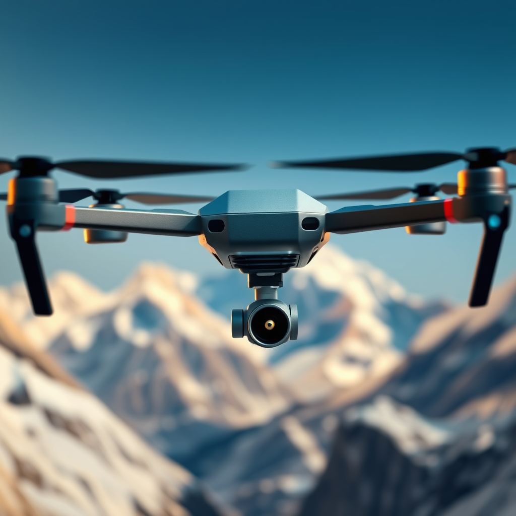
Professional drones and specialized models, however, are engineered with higher performance capabilities. These drones are equipped with advanced motors and improved battery systems that enable them to reach altitudes exceeding 20,000 feet, although the effectiveness diminishes significantly in the rarefied atmosphere found at Everest’s summit. For instance, drones like the DJI Matrice 600 can achieve higher altitudes, but their operational efficiency is still hindered by the thin air and extreme environmental conditions typical of high-altitude locations.
The Challenges of High-Altitude Flight

Flying at high altitudes presents a unique set of challenges for drone operators. One of the most pressing issues is the thin air, which dramatically reduces lift and thrust. As altitude increases, the air pressure decreases, resulting in less oxygen for the drone’s motors. This limitation can lead to decreased performance, including slower speeds, reduced maneuverability, and shorter battery life. It is not uncommon for drones operating at altitudes above 15,000 feet to experience significant drops in operational time, sometimes cutting battery life by over 50%.
Moreover, the weather conditions around Everest are notoriously unpredictable. High winds, sudden storms, and temperature fluctuations can create hazardous flying conditions. Drones are particularly susceptible to strong winds, which can destabilize their flight paths and lead to crashes or loss of control. For example, during a drone expedition in the Khumbu region, operators reported that gusts exceeded 60 mph, grounding their flights and leading to significant operational delays.
Legal and Regulatory Considerations
When contemplating drone flights over Everest, it is crucial to navigate the complex legal and regulatory landscape that governs such activities. Most countries, including Nepal, have stringent regulations regarding drone operations, particularly in sensitive areas like national parks and UNESCO World Heritage Sites. The Sagarmatha National Park, which encompasses Everest, is subject to specific restrictions to protect its unique ecosystem.
Before attempting to fly a drone in this region, operators must obtain necessary permissions and permits from local authorities. This process can be time-consuming and may involve demonstrating the drone’s capabilities, outlining the intended use, and ensuring compliance with environmental protection guidelines. Failure to adhere to these regulations can result in fines, confiscation of equipment, or even legal repercussions.
Advances in Drone Technology
Despite the challenges, advancements in drone technology are paving the way for more viable high-altitude operations. Manufacturers are developing specialized drones designed to withstand extreme conditions, featuring enhanced propulsion systems, high-capacity batteries, and advanced stabilization mechanisms. For instance, drones equipped with artificial intelligence can adapt their flight paths in real-time, optimizing performance based on current atmospheric conditions.
Research is also ongoing into drones that can operate in extreme environments, including high-altitude settings. Companies have started experimenting with hybrid drones that leverage both rotor and fixed-wing technology, allowing them to climb higher and maintain stability in turbulent conditions. Such innovations could significantly expand the operational envelope for drone flights over Everest and other challenging terrains.
Case Studies and Examples
Several expeditions have attempted drone flights over Everest, yielding a mix of success and failure. In 2016, a team of researchers successfully deployed a drone to capture high-resolution images of the summit and surrounding areas, showcasing the potential for aerial mapping and environmental monitoring. This successful mission demonstrated that, with the right equipment and planning, drone flights over Everest could provide valuable data for scientific research.
Conversely, other attempts have ended in failure due to the aforementioned challenges. In 2018, a drone sent to assist climbers in locating missing individuals experienced battery failure and lost communication, resulting in its crash. Such incidents underline the importance of thorough pre-flight assessments and contingency planning to mitigate risks associated with high-altitude operations.
Potential Applications for Drones on Everest
The potential applications for drones on Everest are vast and varied. One of the most promising uses is in search and rescue missions. Drones equipped with thermal imaging cameras can quickly cover large areas, identifying lost climbers or assessing dangerous conditions. Additionally, they can provide real-time video feeds to rescue teams, enhancing situational awareness during critical operations.
Drones also hold significant promise for scientific research. They can be utilized to monitor glacial movements, collect atmospheric data, and study the impacts of climate change on the region. For instance, researchers have begun using drones to measure ice thickness and track changes in glacial mass, providing crucial insights into the effects of global warming on these vital ecosystems.
Moreover, drones can facilitate environmental monitoring by capturing aerial imagery to assess vegetation health and wildlife populations. This data can be invaluable for conservation efforts, helping to ensure the protection of the delicate ecosystem surrounding Everest.
In conclusion, while it is technically possible for a drone to fly over Everest, the endeavor comes with significant hurdles. From the limitations of current drone technology and challenging weather conditions to complex regulatory requirements, successful operations require careful planning and execution. However, as technology advances and regulations evolve, we may see more successful high-altitude drone missions in the future. Whether for scientific research, search and rescue, or environmental monitoring, the potential applications for drones in this iconic region are vast and exciting. If you’re interested in drone technology or mountain exploration, stay tuned for more updates!
Frequently Asked Questions
Can a drone fly over Mount Everest?
Yes, a drone can technically fly over Mount Everest, but there are significant challenges. The extreme altitude, with Everest standing at 29,032 feet, presents issues like reduced air density, which can affect a drone’s lift and battery life. Additionally, weather conditions in the region can be unpredictable, posing risks to drone operations.
What regulations exist for flying drones over Everest?
Flying drones in Nepal, including Mount Everest, is subject to strict regulations set by the Civil Aviation Authority of Nepal. As of now, recreational drone flying is generally prohibited in national parks and conservation areas, which includes the Everest region. It’s essential for drone operators to obtain the necessary permits and adhere to local laws to avoid legal issues.
How do altitude and weather affect drone performance on Everest?
At high altitudes like Everest, the air is thinner, which can significantly reduce a drone’s lift and make it harder to maneuver. Additionally, temperatures can drop well below freezing, affecting battery performance and flight time. Wind speeds can also be extreme in this region, making stable flight challenging and increasing the risk of losing control of the drone.
What are the best drones for high-altitude flights like Everest?
When considering a drone for high-altitude flights, look for models designed for performance in extreme conditions, such as the DJI Matrice series or the DJI Phantom 4 RTK. These drones typically offer better stability, longer battery life, and advanced GPS capabilities, which are crucial for successful flights in challenging environments like Mount Everest.
Why would someone want to fly a drone over Mount Everest?
Flying a drone over Mount Everest can provide stunning aerial views and unique photography opportunities that are otherwise difficult to achieve. Drones can also be used for scientific research, such as mapping glaciers and monitoring environmental changes in the region. However, it’s vital to consider the ethical implications and environmental impact of drone use in this fragile ecosystem.
References
- https://en.wikipedia.org/wiki/Drone
- https://www.reuters.com/technology/drone-technology-2021-12-10/
- https://www.bbc.com/news/science-environment-57106931
- https://www.nytimes.com/2021/05/06/science/drones-everest.html
- https://www.nationalgeographic.com/science/article/drones-high-altitude-everest
- https://www.sciencedirect.com/science/article/pii/S2096579621000325
- https://www.wired.com/story/how-drones-are-changing-the-way-we-explore-the-world/
- https://www.nps.gov/articles/what-is-a-drone.htm