

Yes—under the right circumstances, a drone can fly toward Mount Everest’s summit altitude. However, doing so in a reliable, mission-capable way is exceptionally difficult. The combination of extreme altitude, harsh weather, and severe energy constraints creates engineering barriers that most consumer drones cannot overcome. In practice, an attempt would require purpose-built high-altitude UAVs, specialized power systems, and careful operational planning.
Mount Everest rises to 8,848 meters, where the air is thin, temperatures can plunge far below freezing, and winds can become violent and unpredictable. While the concept of drone-based exploration and data capture in such environments is compelling, the summit itself remains a demanding target even for advanced aviation technology.
Understanding Drone Capabilities for Extreme Altitude
Drones, also known as unmanned aerial vehicles (UAVs), are designed with limits related to maximum altitude, flight range, and battery life. Many consumer models are typically restricted—both by regulations and by engineering design—to flight ceilings around 400 to 500 meters. That ceiling is far below Everest’s elevation.
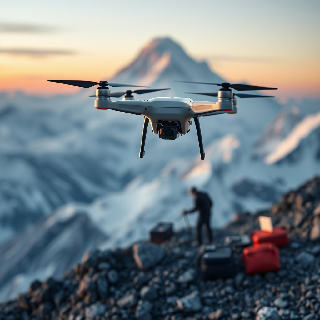
For Everest-level operations, the key question is not just whether a drone can physically climb that high, but whether it can still generate sufficient lift, maintain stability, and remain controllable when air properties change dramatically.
Why commercial drones usually cannot reach Everest’s summit
Even if a drone can technically ascend to a higher altitude, several constraints typically prevent meaningful operation near 8,848 meters:
- Insufficient thrust and lift in thin air
- Battery performance drop in sub-zero temperatures
- Limited onboard power reserves for navigation, stabilization, and payload
- Propeller and motor efficiency losses as air density falls
- Navigation reliability risks due to signal disruption or sensor degradation
What a high-altitude drone would need instead
Specialized UAVs used for scientific research or defense applications may be capable of operating well above typical consumer ceilings. These drones tend to incorporate:
- Advanced propulsion systems optimized for lower-density air
- Aerodynamic airframe design that preserves lift efficiency
- Improved power-to-weight ratios using lightweight yet strong materials
- Enhanced lift generation through propeller geometry and wing/rotor design
In other words, reaching Everest is less about “buying a powerful drone” and more about using an aircraft engineered specifically for thin-air performance and cold-environment endurance.
Challenges of High-Altitude Flight: Thin Air and Reduced Performance
The most fundamental barrier is the atmosphere. As altitude increases, air density decreases, which changes how effectively a drone’s rotors or propellers can create thrust. With less dense air:
- Lift requirements become harder to meet because the drone needs more aerodynamic force to stay aloft
- Propeller efficiency typically declines, reducing the drone’s ability to maintain altitude and maneuver
- Control authority weakens, which can make it harder to correct course or stabilize
At extreme heights, this can force the drone into a narrow “performance window,” where small changes in wind, payload weight, or battery voltage can determine whether the UAV can continue climbing or must begin an immediate descent.
Weight-to-power ratio becomes critical
Drone flight performance at very high altitude depends heavily on its weight-to-power ratio. A payload-heavy configuration—such as a high-end thermal imager or stabilized camera system—adds mass that the drone must lift in conditions where the atmosphere provides less aerodynamic support.
To operate effectively, high-altitude UAV designs often use lightweight construction, efficient propulsion, and power management strategies to maintain stable flight margins.
Battery Limitations at Everest Altitudes
Energy storage is one of the biggest practical constraints. Drones commonly use lithium-polymer (LiPo) batteries, which can suffer performance degradation in cold temperatures. On Everest, the cold can be severe enough to reduce:
- Battery voltage output
- Cell capacity
- Current delivery needed for high-thrust operation
When battery efficiency drops, the drone may experience shorter flight times, lower climb rates, and reduced stability—especially when the drone is already struggling against thin air. Even if the drone can reach high altitude initially, it may not have enough remaining power to stay there long enough to complete a useful mission or to return safely.
Everest Weather Conditions: Wind, Snow, and Sudden Changes
Mount Everest is well known for sudden weather shifts. High-altitude operations can face:
- High winds that strain control systems and increase power consumption
- Snowstorms and precipitation buildup that can affect sensors, propellers, and airframe surfaces
- Rapid temperature drops that further reduce battery performance and electronics reliability
For drones, wind is especially challenging because control corrections require thrust. Each stabilization input consumes energy, and near Everest’s summit altitude, energy margins may already be thin due to the reduced efficiency of propellers in low-density air.
In addition, cold can affect electronics such as flight controllers, GPS modules, gyroscopes, and communication equipment. Robust thermal management would likely be required to keep critical systems within operational limits.
Communication and Navigation Risks Near the Summit
Even if a UAV could technically fly to Everest’s height, communication and navigation present additional hurdles. Depending on the mission plan, the drone may need reliable:
- GNSS/GPS positioning for stable flight and safe return-to-home behavior
- Flight control sensing for attitude stabilization in turbulent air
- Remote link performance if operated beyond line-of-sight
In extreme environments, sensor calibration drift, signal interruptions, or reduced link quality can compromise the ability to follow an exact flight path—especially during high-risk phases such as ascent, hover attempts, and descent.
Potential Applications: Why Attempt Everest at All?
Despite the difficulties, drone technology offers valuable possibilities for extreme-altitude research and exploration. If engineered for high-altitude resilience, UAVs could support missions such as:
- High-resolution mapping and terrain documentation
- Meteorological sensing to study airflow and microclimates
- Search and reconnaissance support for remote or hazardous locations
- Environmental monitoring, including snow cover observation and expedition impact studies
For these applications, the drone does not necessarily need prolonged summit hovering. It may only need controlled, time-limited flight to capture data—provided the system can manage the energy budget and maintain stable control.
So, Can a Drone Fly to the Top of Mount Everest?
A drone can possibly reach Everest’s summit altitude, but it would almost certainly require a specialized high-altitude UAV rather than a standard consumer quadcopter. The technical barriers—thin air, extreme cold, limited battery endurance, volatile winds, and navigation/communication challenges—make an Everest summit flight an advanced aerospace mission rather than a typical drone operation.
In practice, success would depend on mission-specific engineering: optimized aerodynamics, temperature-aware power systems, reliable control and redundancy, and a flight profile designed around the narrow window of performance at extreme altitude.
📋 About This Article
Yes, a drone can try to fly toward Mount Everest’s summit altitude, but reliably reaching the top is exceptionally hard. This article is for adventurous explorers, drone enthusiasts, and curious readers who want to understand what it would take for drones to operate in extreme high-altitude conditions. It covers the altitude and weather challenges, why most consumer drones can’t make the climb, and what kinds of purpose-built hardware and planning are required for any serious attempt.
Frequently Asked Questions
Can a drone realistically fly to the top of Mount Everest?
In most cases, no—there is no widely proven, reliable way for a consumer or typical professional drone to fly all the way to the top of Mount Everest. The main barriers are the extreme altitude (summit altitude is about 8,849 m / 29,032 ft), extremely low temperatures, very low air density, strong and unpredictable winds, and stringent power/flight limitations. Even if a drone’s motors and propellers could physically function in thinner air, maintaining stable flight and achieving safe, controllable hover or navigation at the summit remains exceptionally difficult. Additionally, many drones have practical maximum operating altitudes set by firmware and air-traffic/legal constraints.
What makes flying a drone on Everest so difficult compared to normal high-altitude locations?
Everest presents a combination of challenges that compound each other: (1) Low air density reduces lift, meaning drones may need higher rotor speeds or larger rotors—both of which increase power draw. (2) Cold temperatures can reduce battery capacity and affect electronics performance; batteries may deliver far less usable energy than at sea level. (3) Strong winds and gusts make stabilization harder and can force rapid power consumption. (4) Dense clouds, sudden weather shifts, and whiteout conditions can complicate visual navigation and landing. (5) GPS reception and sensor reliability can be degraded near mountains and in certain atmospheric conditions, affecting positioning and obstacle avoidance. Together, these factors often prevent safe takeoff, sustained flight, and controlled landing at summit-like conditions.
How do battery life and cold temperatures affect drone flights near Everest’s summit?
Battery performance is one of the biggest limiting factors at extreme altitude and cold. Lithium-based drone batteries can experience reduced voltage output and capacity when temperatures drop, causing the drone to enter low-voltage protections sooner. Cold also increases internal resistance, reducing the amount of usable power available for motors. At Everest-like conditions, even if the drone technically starts, it may not have enough remaining power for takeoff, climb, stable hovering, and a safe return. Some missions try to mitigate this with insulated battery packs, warming strategies, or specialized high-energy batteries, but these methods still face hard limits: battery capacity decreases with cold, and the thinner air demands more motor effort to generate lift.
Could a specialized military or research drone or a hybrid system make it to the summit?
A purpose-built system might be closer to the conditions needed, but it still faces major hurdles. Hybrid airships, high-altitude fixed-wing aircraft, or tethered systems could theoretically reduce some constraints (for example, by using aerodynamic efficiency or continuous power from a tether). However, for a conventional free-flying multirotor drone, the lift-to-power requirements at extremely low air density are severe. Research and military platforms may include more robust electronics, larger payload capability, advanced navigation, and specialized propulsion, yet achieving sustained, controllable flight to 8,849 m remains extraordinarily challenging. In practice, any attempt would require extensive testing, specialized propulsion and battery solutions, and meticulous weather planning—along with approvals and airspace management.
Are there legal, safety, or permit restrictions that prevent drone flights on Everest?
Yes. Beyond technical feasibility, drone use on and near Everest is typically constrained by regulations, permitting requirements, and safety rules. Restrictions may apply to airspace control, operating altitude, line-of-sight requirements, risk management around mountaineering routes, and coordination with local authorities and expedition leadership. In addition, launching and recovering drones in steep, high-risk terrain increases safety concerns for people below and around the takeoff/landing zone. Even where drones are allowed in certain areas, operators may need specific authorization due to the sensitivity of high-altitude operations and the presence of aircraft or helicopters supporting expeditions.
