
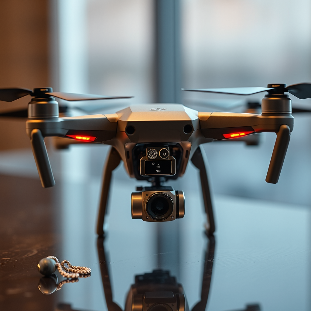
Yes, a drone can take measurements using various technologies such as LiDAR, photogrammetry, and GPS. These advanced capabilities position drones as invaluable tools across multiple sectors, including surveying, construction, and agriculture. Drones offer precise, efficient, and cost-effective solutions for measurement tasks that traditionally relied on manual processes. In this article, we will explore how drones measure, the technologies involved, and their diverse applications across different industries, elucidating their transformative potential.
Understanding Drone Measurement Technologies

LiDAR (Light Detection and Ranging)
LiDAR technology utilizes laser beams to capture high-resolution data about the Earth’s surface. A drone equipped with a LiDAR sensor emits laser pulses toward the ground, which bounce back after hitting various surfaces. This data is then processed to create detailed 3D models and maps, enabling users to analyze landscapes with remarkable accuracy. For instance, in forestry management, LiDAR can be used to assess tree heights and biomass, facilitating better resource management decisions.
Photogrammetry
Photogrammetry is another powerful method used by drones to gather measurements. This process involves capturing a series of overlapping photographs from various angles, which specialized software then analyzes to derive spatial measurements. By creating 2D and 3D models from these images, photogrammetry is widely used in archaeological surveys, where it allows for the documentation of sites without the need for invasive tools. An example of its application can be seen in the construction industry, where it helps in monitoring project progress and ensuring compliance with design specifications.
GPS Integration
The integration of GPS technology enhances the accuracy of drone measurements significantly. By utilizing satellite data, drones can achieve precise location tracking, allowing for accurate mapping and surveying over vast areas. This capability is particularly crucial for applications like land surveying, where precise boundary delineation is necessary. For example, real estate developers use GPS-enabled drones to obtain accurate land measurements, aiding in site planning and development.
Applications in Surveying and Mapping

Land Surveys
Drones have revolutionized land surveying by drastically reducing the time and labor involved. Traditional land surveys often require extensive manpower and equipment, which can lead to higher costs and longer timelines. In contrast, drones can quickly map large areas, allowing surveyors to gather data in hours instead of days or weeks. This efficiency not only enhances productivity but also enables surveyors to focus on analysis rather than data collection.
Topographical Mapping
Creating detailed topographical maps is another vital application of drone technology. By capturing high-resolution aerial imagery and utilizing software to analyze the data, drones can produce accurate representations of terrain features. This is particularly beneficial for environmental assessments, land-use planning, and resource management. For instance, environmental scientists use drone-generated topographical maps to study watershed management and assess habitat conditions.
Construction Site Monitoring
Regular measurements taken from drones are essential for construction site monitoring. Drones provide real-time data that helps project managers track progress, ensure compliance with design specifications, and address potential issues before they escalate. By conducting aerial inspections, construction teams can identify discrepancies between the actual and planned site conditions, allowing for timely interventions that keep projects on track and within budget.
Benefits of Using Drones for Measurement
Efficiency
One of the most significant advantages of using drones for measurement is their efficiency. Drones can cover extensive areas in a fraction of the time required by traditional methods. This rapid data collection means that projects can move forward more quickly, minimizing delays and enhancing overall productivity. For example, a drone survey of hundreds of acres can be completed in a single day, whereas conventional surveying techniques might take weeks.
Cost-Effective
Utilizing drones reduces the need for extensive manpower and heavy equipment, translating to substantial cost savings. By minimizing labor costs and the time spent on data collection, organizations can allocate resources more effectively. This cost-effectiveness is particularly noticeable in industries like agriculture, where drones can monitor crop health and growth over large expanses, allowing farmers to make informed decisions without the need for manual inspections.
Safety
Drones significantly enhance safety by minimizing risks associated with working in hazardous environments. For example, in construction and mining, drones can perform inspections in areas that are difficult or dangerous for humans to access. This capability helps protect workers while still providing the necessary data for effective decision-making. Additionally, using drones for environmental assessments reduces the need for personnel to enter potentially unsafe or unstable areas.
Challenges and Limitations
Regulatory Restrictions
While drones offer numerous advantages, they are subject to regulatory restrictions that vary by region. Local laws may impose limits on where and how drones can be operated, which can affect their use in certain applications. For businesses considering drone technology, understanding these regulations is crucial to ensure compliance and avoid potential fines or operational disruptions.
Weather Conditions
Weather conditions can significantly impact a drone’s ability to operate effectively. Adverse weather, such as heavy rain, fog, or high winds, can hinder data collection and affect the accuracy of measurements. Therefore, planning drone operations around favorable weather conditions is essential for maximizing data quality and reliability.
Technical Expertise
Operating drones and analyzing the collected data requires a certain level of technical expertise. Organizations must invest in training for personnel to ensure they can effectively operate drones and interpret the results accurately. This may involve obtaining certifications and staying updated on industry best practices, which can be a barrier for some companies looking to adopt drone technology.
Future Trends in Drone Measurement
Advancements in Sensor Technology
The future of drone measurement lies in continuous advancements in sensor technology. As sensors become more sophisticated, they will enhance the precision and capabilities of drones for various applications. For example, new multispectral and hyperspectral sensors are being developed to provide more comprehensive data for environmental monitoring and agricultural assessments.
Integration with AI and Machine Learning
The integration of artificial intelligence (AI) and machine learning into drone operations is another promising trend. These technologies will improve data processing and analysis, allowing for quicker insights and more actionable outcomes. For instance, AI algorithms can analyze aerial imagery to identify patterns in crop health, enabling farmers to make data-driven decisions regarding irrigation and fertilization.
Expanded Use in Various Industries
As drone technology continues to evolve, its applications will expand across various industries. Growing adoption in fields like environmental monitoring, urban planning, and disaster response highlights the versatility of drones as measurement tools. For example, in disaster response scenarios, drones can quickly assess damage and provide real-time data, enabling first responders to prioritize their efforts effectively.
Getting Started with Drone Measurements
Choosing the Right Drone
When considering the use of drones for measurement tasks, selecting the right drone is crucial. Factors to consider include payload capacity, camera quality, and battery life. For instance, a drone intended for LiDAR applications will require different specifications compared to one used for photogrammetry. Identifying the specific needs of your project will help in selecting the most suitable equipment.
Training and Certification
Ensuring that drone operators are well-trained and certified is vital for successful drone operations. Familiarizing personnel with local regulations, safety protocols, and best practices will enhance the effectiveness of drone measurements. Organizations may also consider partnering with training institutions or enrolling employees in certification programs to ensure compliance and operational efficiency.
Software for Data Analysis
Familiarity with software tools for processing and analyzing collected measurements is essential for maximizing the value of drone data. Several software solutions are available for photogrammetry, LiDAR processing, and data visualization. Investing in training for these tools will empower personnel to derive meaningful insights from drone-collected data, enhancing decision-making processes.
In conclusion, drones are versatile tools capable of taking accurate measurements across various applications. Their efficiency, cost-effectiveness, and safety advantages are transforming industries, making them an essential asset for modern measurement tasks. As technology continues to advance, exploring the options available and staying updated on the latest innovations in drone measurement will be critical for businesses looking to leverage this powerful technology. Embracing drones can not only streamline operations but also provide a competitive edge in increasingly data-driven environments.
Frequently Asked Questions
Can a drone take accurate measurements for construction projects?
Yes, drones can take accurate measurements for construction projects using specialized software and high-resolution cameras or LiDAR technology. When equipped with the right sensors, drones can create detailed 3D models and maps, enabling project managers to assess site conditions, track progress, and calculate volumes with precision. This capability significantly reduces the time and labor required for traditional surveying methods.
How do drones measure distances and areas?
Drones measure distances and areas using advanced imaging techniques, such as photogrammetry and LiDAR. Photogrammetry involves capturing overlapping images of the terrain from multiple angles, which software then analyzes to create a 3D model. LiDAR, on the other hand, uses laser pulses to measure distances to the ground, allowing for highly accurate topographical data collection, which is essential for various applications, including agriculture and urban planning.
Why should I use a drone instead of traditional surveying methods?
Using a drone for measurement offers several advantages over traditional surveying methods, including increased efficiency, higher accuracy, and the ability to access hard-to-reach areas. Drones can cover large areas in a fraction of the time it takes for manual surveys, while also providing detailed data that can enhance decision-making. Additionally, drones can reduce labor costs and minimize risks associated with physical surveying in hazardous environments.
What are the best drones for taking measurements?
The best drones for taking measurements typically come equipped with advanced imaging and mapping capabilities. Popular models include the DJI Phantom 4 RTK, which offers high-precision GPS and photogrammetry features, and the senseFly eBee X, designed for large-scale mapping with customizable payload options. When selecting a drone, consider factors such as camera resolution, flight time, and the specific measurement needs of your project to ensure optimal results.
Which industries benefit the most from drone measurements?
Several industries benefit significantly from drone measurements, including construction, agriculture, mining, and environmental monitoring. In construction, drones facilitate site surveys and progress tracking, while in agriculture, they assist with crop health assessments and yield estimation. Mining companies utilize drones for volumetric analysis and site inspections, whereas environmental agencies leverage drone measurements for habitat mapping and conservation efforts, showcasing the versatility of this technology across various sectors.
References
- https://en.wikipedia.org/wiki/Drone
- https://www.nasa.gov/feature/nasa-s-use-of-drones-for-research
- https://www.sciencedirect.com/science/article/pii/S2351978918310694
- https://www.faa.gov/uas/
- https://www.mdpi.com/2504-446X/3/1/8
- https://www.researchgate.net/publication/327134057_A_Survey_on_Drones_in_Civil_Applications
- https://www.geospatialworld.net/blogs/using-drones-for-measurements-and-mapping/
