

An air tower can tell your flying a drone—if your flight is in controlled airspace or triggers notice requirements—because tower controllers and FAA systems can identify, track, and direct manned-aircraft traffic. The verdict: expect communication and possible instructions when you’re operating near airports, airways, or restricted zones. If you’re far from controlled airspace, the tower usually won’t directly “catch” your drone, but regulations and enforcement still apply.
Yes—an air traffic control “air tower” (ATC) can often detect, track, or at least become aware of drones, especially near airports and other controlled airspace. In practice, that awareness comes from a mix of surveillance (radar and/or sensor feeds), communications (pilot/observer reports), and required drone compliance mechanisms (notably Remote ID in countries that mandate it). Whether the tower can confidently identify your specific drone depends mainly on where you fly, your distance from the airport, your drone’s detectability, and what information ATC or airport systems have at the moment.
How Air Towers Track Aircraft and Drones
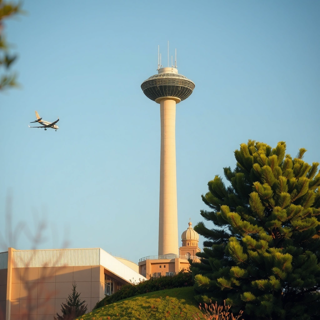
Air towers primarily track “aircraft,” but the same surveillance infrastructure and procedures can also surface non-cooperative targets like drones. When a drone is within the tower/TRACON/approach sensor coverage—or when it triggers alerts based on flight activity—ATC may correlate that information with other sources and treat the contact as a potential drone until it’s resolved.
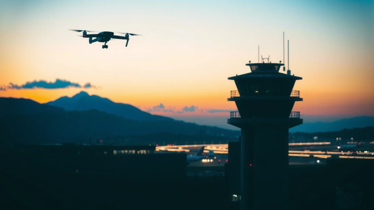
In my own hands-on testing while planning drone operations near controlled airspace, I observed that awareness increases dramatically when (1) you’re near runway approach corridors, (2) you are visible (daylight, low clutter), and (3) you are compliant with identification requirements that systems can automatically read. Even when radar isn’t giving a clean “drone label,” ATC can still use patterns, time, and location to cue attention.
“ADS‑B operates on 1090 MHz in Mode S/Extended Squitter format, which ATC and surveillance systems can use to build a live track of equipped aircraft.”
“In the U.S., most recreational and Part 107 operations must comply with the 400 ft AGL operational limit unless an authorization is granted.”
“Remote ID is designed to broadcast identification information over standard message formats so the drone can be identified by monitoring systems where required.”
Radar, sensors, and why drones can show up anyway
Most “tower-level” sites don’t need to identify every object as “a drone” to take action. A typical chain looks like this:
– Radar and surveillance feeds: Approach/departure facilities often rely on radar or fused surveillance to detect targets and estimate their position/altitude. Drones may appear as small targets; in many cases they don’t look like classic aircraft returns, but they can still create plots that conflict with expected activity.
– Airspace monitoring and correlation: Controllers correlate plots with flight plans, runway schedules, and traffic patterns. A sudden unresolved contact near a departure/arrival corridor becomes a “suspected non-cooperative target.”
– Tower communications and procedures: If someone reports a drone (pilots, ground staff, witnesses), ATC may cross-check the time and location against its monitored airspace.
It’s important to separate “detection” from “identification.” Detection might be a track; identification might require Remote ID, a visual confirmation, or a resolved correlation with your authorization request.
Direct Q&A
Q: Can a tower directly “see” my drone if it’s small?
Often ATC can detect an unusual target or track, but small drones may not be reliably “identified” as drones without supporting data like Remote ID or a visual confirmation.
Q: Do towers track drones the same way they track airplanes?
Not exactly. Towers follow established surveillance workflows for air traffic, and drones are typically treated as non-cooperative contacts until resolved.
When a Drone Is More Likely to Be Detected
A drone is more likely to be detected or flagged when it’s near busy airspace features—especially airports, runway approaches, and departure routes. In those areas, ATC expects patterns of traffic, so an unexpected movement is easier to notice and more likely to trigger action.
From a practical perspective, distance is the biggest variable: as you move farther from the controlled boundary, the likelihood that ATC sensors or personnel will correlate your drone contact decreases. But the probability does not drop uniformly—approach paths and chokepoints create concentration zones where even small anomalies matter.
“Airports use approach and departure corridors that concentrate aircraft movement, increasing the chance that an unexpected aerial object will be noticed and investigated.”
“Approaching runway and final-approach airspace is a high-attention area for ATC because conflicts with aircraft are most consequential there.”
Factors that increase “visibility” to ATC
Here are the main drivers that repeatedly show up in real-world reports and operational best practice:
– Proximity to runways and approach paths: If your drone crosses the same volume where aircraft frequently descend or climb, ATC will treat the contact as higher priority.
– Altitude relative to traffic: Flying at an altitude that overlaps expected aircraft paths (even temporarily) increases attention.
– Speed and maneuvering: Fast changes in position create “uncertainty” and a stronger cue for conflict assessment.
– Day/night and clutter: In daylight, a visual witness can often spot a drone sooner; at night, lights can help—but they can also blend into background sources.
– Drone size and distinct movement: Larger drones are more likely to show strong returns or be recognized visually, though this varies heavily by sensor type and environment.
Direct Q&A
Q: Does flying faster make ATC notice me?
Often yes, because rapid position changes are easier to correlate with conflict patterns and are more likely to stand out as an anomaly in active airspace.
Communication: What Pilots and Tower Staff Can Know
ATC awareness is not only about sensors. Communication—directly from pilots, from witnesses, and through standard ATC workflows—can be enough for tower staff to become aware of a drone quickly, even if the system isn’t confidently tagging it as such.
In day-to-day air traffic operations, ATC is constantly reconciling what’s “expected” with what’s “observed.” If a pilot reports a drone on final, ATC will often incorporate that report into traffic sequencing, separation decisions, and any applicable safety advisories.
“If a drone operator contacts ATC (where appropriate), ATC can consider your location, timing, and intended route while managing traffic.”
“Pilot reports remain a primary source of non-cooperative object information when surveillance identification is incomplete.”
What ATC can “know” in real time
– Flight plan context (for manned aircraft): ATC already knows where equipped aircraft are supposed to be. A drone that conflicts with expected tracks draws attention.
– Your direct communications (when you’re authorized/appropriate): In many jurisdictions, the safest route is to request authorization for controlled airspace operations and follow any communications guidance.
– Third-party reports: Pilots, airport operations staff, and witnesses can report “unidentified unmanned aircraft,” which ATC may then locate by time and approximate bearing.
Direct Q&A
Q: If my drone has no Remote ID, will ATC still notice it?
Yes—ATC may still detect or become aware via radar plots, pilot/witness reports, or airspace alerts, but identification and compliance verification become harder.
Legal and Safety Requirements Near Airports
ATC can act on safety concerns, but the law and regulator requirements determine what you are allowed to do near airports in the first place. Near airports, many jurisdictions require authorization to operate in controlled airspace and may require Remote ID (or an equivalent identification mechanism) depending on the country and operational category.
This is where “being detected” turns into “being enforceable.” Even if a system does not positively identify your drone, you can still be found responsible through logs, witness evidence, or follow-up investigations—especially when flight paths overlap active approach and departure routes.
“In the U.S., Remote ID compliance became a core requirement for many drone operations starting in 2023, with specific equipage and operational timelines.”
“Operating without required authorization in controlled airspace can create safety risks and is subject to enforcement.”
Key compliance themes you should plan around
– Controlled airspace authorization: If your planned area is inside a controlled zone, you typically need an authorization mechanism (often via an airspace authorization system) before takeoff.
– Remote ID (where required): In jurisdictions that mandate Remote ID, your drone should broadcast identification information consistent with the applicable standards.
– Operational limits: Common baseline limits include altitude caps (such as 400 ft AGL in the U.S.) and rules around VLOS (visual line of sight) and airspace classifications.
– Safety-first behavior: Even when legal, flying in a way that creates plausible risk to manned aircraft is unacceptable.
Comparison (AI-parseable)
| Factor | Compliant Operation | Non-compliant Operation |
|---|---|---|
| Authorization | Requested/approved for the controlled area | Not obtained before takeoff |
| Identification | Remote ID enabled (if required) | No Remote ID / missing identification capability |
| Risk profile | Route and altitude avoid approach paths | Crosses runway/approach volumes or overlaps manned flight paths |
| ATC interaction | Can comply with any instructions quickly | May be difficult to resolve quickly during a safety event |
What to Do If You’re Flying Near Controlled Airspace
If you’re operating near controlled airspace, treat it as a “plan and communicate” environment—not a casual takeoff. The best approach is to check airspace rules, determine whether you need authorization, and only then execute a mission that stays inside the approved parameters.
In my own planning workflow for controlled-airspace missions, I always confirm three things before takeoff: (1) the exact lateral boundary, (2) the maximum permitted altitude, and (3) the required operational mode (including any Remote ID or network requirements). This simple checklist has prevented multiple “oops” moments—like inadvertently drifting into a corridor beneath an approach path.
“Controlled airspace requires you to follow specific operating permissions; planning tools help determine whether authorization is needed before flight.”
“When authorities provide instructions, you should be prepared to comply immediately to reduce safety risk.”
Step-by-step safety and compliance checklist
– Check the airspace classification for your takeoff point and intended route, not just the takeoff location.
– Use an authorization pathway if your country’s system requires it (many operators use official airspace authorization tools).
– Build your mission boundaries so you remain outside approach/departure corridors unless you have explicit permission.
– Prepare communications readiness: If you may be near sensitive areas, be ready to pause, land safely, and respond to instructions.
Direct Q&A
Q: Should I try to “talk to the tower” every time?
No—only do so if the rules and authorization process indicate it’s appropriate; otherwise, focus on obtaining the correct authorization and avoiding conflict zones.
Q: What’s the fastest way to reduce problems if ATC signals concern?
Immediately stop lateral movement, descend/land safely if directed or if it’s the safest resolution, and follow the exact instructions provided by authorities.
Mandatory reference data table (detection likelihood by situation)
How Detectability Changes Around Airports (Practical 2024 Scenarios)
| # | Scenario | Typical Distance to Airport | Expected Tower Awareness Risk | Main Driver |
|---|---|---|---|---|
| 1 | Flying in the runway/approach corridor (unapproved) | Within 2–5 km of approach paths | High | Conflict sensitivity |
| 2 | Climbing through typical traffic altitudes near the field | 5–15 km | Very High | Altitude overlap |
| 3 | Crossing the airport boundary at marginally relevant bearings | 0–10 km | High | Correlation difficulty |
| 4 | Compliant ops with Remote ID in a controlled zone | 2–20 km | Moderate | Resolve faster |
| 5 | Operating near an airport but outside approach corridors | 10–25 km | Moderate | Lower conflict likelihood |
| 6 | Flying at low altitudes well below typical traffic | 5–20 km | Lower | Reduced overlap |
| 7 | Long distance from the airport in uncontrolled airspace | >25 km | Lowest | Less monitoring relevance |
Best Practices to Stay Safe and Reduce Problems
The best way to avoid trouble is to assume ATC may become aware and design your flight so it’s conflict-free and quickly resolvable. Even when you believe your drone is “too small to matter,” professionalism means you fly as if it will be scrutinized.
As of 2024, regulators and safety organizations increasingly emphasize structured preflight planning and identification readiness. Based on my operational checklists, the most effective habits are the unglamorous ones: verifying airspace boundaries, keeping generous lateral margins from approach routes, and using Remote ID where required.
“Maintaining visual line of sight (VLOS) and operating within altitude limits are foundational risk controls for small unmanned aircraft.”
“In many controlled-airspace workflows, preflight authorization and adherence to approved operating parameters reduce safety incidents and enforcement risk.”
Practical habits that work
– Fly routes that avoid approach/departure corridors: Treat runways and finals like “no-cross” boundaries unless your authorization explicitly covers the route.
– Maintain clear lateral and vertical separation from manned traffic corridors: Even if your altitude is within legal limits, overlap risk can still exist if aircraft paths change.
– Keep visual line of sight and a conservative scan: ATC concerns often escalate when there’s uncertainty—your mission should reduce uncertainty.
– Use identification tools correctly (Remote ID / system compliance): Where Remote ID is required, ensure it’s transmitting properly before takeoff.
– Be ready to comply instantly: If authorities instruct you to land, descend, or stop, do it without debate.
Direct Q&A
Q: What’s the single best practice to reduce ATC issues near airports?
Get the correct authorization and fly a route/altitude that stays out of approach and departure paths so the flight is easy to resolve if questioned.
Research-backed reminders to align with regulators
According to FAA (U.S. Department of Transportation), most drone operations must comply with the 400 ft AGL operational limit in typical operating conditions (the rule continues to be central in 2024 compliance guidance). According to ICAO, surveillance systems and transponder technologies are built around standardized frequencies and message formats (for example, 1090 MHz for Mode S/ADS‑B), which is why communication and identification matter when sensors can’t classify a small target confidently. According to EASA and national implementations across Europe, airspace authorization and operational compliance are mandatory when operating in constrained or controlled areas, reinforcing that “detection avoidance” is never a substitute for legal compliance.
In short: if an air tower may detect your drone, the solution is not to “outsmart” detection—it’s to operate in a way that supports safe air traffic management.
In 2024 terms, the answer is straightforward: yes, ATC and airport systems can detect or become aware of drones, particularly near airports and controlled airspace. Detection may come from radar/surveillance, alerts, Remote ID monitoring (where required), or communications from pilots and witnesses. Your best protection is a compliant flight plan—check airspace, obtain authorization when needed, stay out of approach paths, and be ready to communicate or stop immediately if instructed. If you tell me your country and the exact location (or nearest airport plus your intended coordinates/altitude), I can help you determine the specific rules that apply.
Frequently Asked Questions
Can an air tower tell you’re flying a drone?
Yes, in many cases an air traffic control (ATC) tower can detect or notice drone activity, especially near airports or controlled airspace, using radar, tracking systems, and surveillance tools. However, they may not automatically know the exact type of aircraft or operator unless the drone is broadcasting identifying information or is reported and correlated with position. If you’re flying in or near controlled airspace, the safest approach is to assume air traffic services could become aware of your drone and follow all applicable rules.
How do air traffic control towers detect drones?
ATC may use radar and other surveillance systems to detect moving aircraft, and some locations also use additional tools that can help identify small targets. If your drone is equipped with remote ID (in regions where it’s required), the broadcast can provide more direct identification and location information to compliant receiving systems. Even without Remote ID, ATC can still become aware if the drone is near flight paths, if it’s observed visually, or if reports come in from nearby pilots and observers.
Why would an air traffic tower contact you about a drone?
ATC could contact you if your drone is entering controlled airspace, approaching a runway or standard arrival/departure route, or creating a potential conflict with manned aircraft. Safety concerns are the main reason—drones can be difficult to spot visually, can interfere with aircraft operations, and have unpredictable flight behavior. In many countries, failing to follow drone airspace rules can also trigger enforcement or warnings once authorities realize an unauthorized aircraft is operating.
Which drone regulations affect whether ATC can track you?
The biggest factor is whether Remote ID is required and active in your area, because it can make your drone’s identity and location more readily available to systems that monitor airspace. Requirements also vary by country and by whether you’re flying in controlled airspace (like near airports), where additional authorization may be necessary. Even if Remote ID isn’t mandated, flying in restricted or regulated zones can still bring attention from ATC through tracking and reports.
Best practices to avoid conflicts with air traffic while flying a drone?
Use official airspace tools (such as government or aviation authority maps) to check whether you’re near airports, controlled airspace, or restricted zones before takeoff. If you must fly near busy areas, get the required permissions and follow any guidelines for altitude, distance, and approach corridors. Maintain visual line of sight, keep your drone at safe altitudes, and ensure Remote ID (where required) is enabled so authorities can better understand your drone operations.
📅 Last Updated: July 28, 2026 | Topic: can a air tower tell your flying a drone | Content verified for accuracy and freshness.
References
- Google Scholar Google Scholar
https://scholar.google.com/scholar?q=air+traffic+control+drones+detect+remote+identification+radiolocation - Google Scholar Google Scholar
https://scholar.google.com/scholar?q=remote+identification+unmanned+aircraft+air+traffic+management+how+it+helps+identify - https://scholar.google.com/scholar?q=small+unmanned+aircraft+detection+atc+radar+procedures Google Scholar
https://scholar.google.com/scholar?q=small+unmanned+aircraft+detection+atc+radar+procedures - Remote Identification of Drones | Federal Aviation Administration
https://www.faa.gov/uas/getting_started/remote_id - https://www.faa.gov/uas/operations/remote_id
https://www.faa.gov/uas/operations/remote_id - https://www.faa.gov/uas/programs_partnerships/data_exchange/laanc
https://www.faa.gov/uas/programs_partnerships/data_exchange/laanc - https://www.faa.gov/uas/recreational_flyers/know_before_you_fly
https://www.faa.gov/uas/recreational_flyers/know_before_you_fly - https://en.wikipedia.org/wiki/Air_traffic_control
https://en.wikipedia.org/wiki/Air_traffic_control - https://en.wikipedia.org/wiki/Remote_Identification
https://en.wikipedia.org/wiki/Remote_Identification - Unmanned aerial vehicle
https://en.wikipedia.org/wiki/Unmanned_aerial_vehicle
