
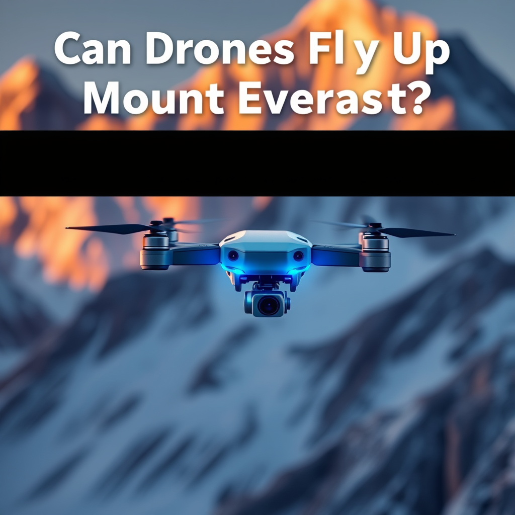
Yes, drones can fly up Mount Everest, but there are significant challenges and limitations. The extreme altitude, harsh weather conditions, and shortened battery life due to thin air make drone operations in this region complex. This article delves into the capabilities of drones in the Everest region, examines their limitations, and discusses their potential applications, illustrating how these machines can assist in one of the world’s most formidable environments.
The Technical Limitations of Drones at High Altitudes

Drones are engineered for various applications, but their performance diminishes at high altitudes, particularly in environments like Mount Everest, which stands at 8,848 meters (29,029 feet). A primary technical limitation is the reduced air density, which significantly affects the lift generated by the drone’s rotors. In simpler terms, as altitude increases, the air becomes thinner, making it harder for drones to achieve and maintain flight. This limitation can lead to reduced maneuverability, making it challenging for operators to control the drones effectively in the rugged terrain of the Everest region.
Furthermore, battery life is another crucial factor. At higher altitudes, the efficiency of lithium-ion batteries decreases, leading to a substantial reduction in flight time. For instance, while a drone might typically achieve a flight duration of 25-30 minutes at sea level, that time can plummet to as little as 10-15 minutes in the thin air of Everest. This limitation poses challenges for both scouting missions and more extensive operations, as operators must carefully plan their flights to maximize the limited time available.
Weather Challenges on Mount Everest

Weather conditions on Mount Everest are notoriously unpredictable and can change rapidly, presenting another significant hurdle for drone operations. Extreme temperatures often dip well below freezing, which can affect the drone’s battery life and overall functionality. Cold weather can also lead to issues such as ice formation on the drone’s rotors, which can severely impair its ability to fly.
High winds are another crucial consideration. gusts that can exceed 100 km/h (62 mph) are not uncommon at Everest’s elevations, making it nearly impossible for drones to maintain stable flight. Sudden storms can roll in without warning, creating perilous situations for both the drone and its operators. The combination of these weather challenges means that careful timing and weather monitoring are essential before any drone deployment in the Everest region.
Regulations and Restrictions for Drone Use in Nepal
The Nepalese government has instituted strict regulations regarding drone usage, particularly in sensitive areas such as Mount Everest. These regulations stem from concerns over safety, privacy, and the preservation of the environment. To operate a drone legally in Nepal, individuals or organizations must obtain the necessary permits from the Civil Aviation Authority of Nepal (CAAN). This process can be tedious, requiring detailed project proposals along with proof of insurance and adherence to safety guidelines.
Moreover, specific no-fly zones are designated throughout the Everest region, particularly around base camps and protected areas, to minimize disruption to climbers and local wildlife. Operators must be well-acquainted with these regulations to avoid hefty fines or the confiscation of their drones. Understanding these legal frameworks is crucial for anyone looking to leverage drone technology in this majestic yet sensitive environment.
Successful Drone Expeditions on Everest
Despite the challenges, several expeditions have demonstrated the successful application of drones in the Everest region. One notable example is the use of drones for mapping and search-and-rescue operations. In recent years, drones equipped with high-resolution cameras have been employed to create detailed topographical maps of the Everest area, providing valuable data for climbers and researchers alike.
Additionally, drones fitted with thermal imaging capabilities have proven invaluable in search-and-rescue missions, particularly in locating climbers who may be lost or in distress. For instance, the 2014 avalanche that struck Everest prompted the use of drones to survey affected areas and locate missing climbers, showcasing their potential in life-saving scenarios. These applications highlight not only the operational possibilities of drones in challenging environments but also their capacity to enhance safety and efficiency in high-risk situations.
Future Innovations in Drone Technology
As drone technology continues to evolve, advancements in battery technology and navigation systems could significantly enhance their performance in extreme environments like Everest. Ongoing research into alternative battery solutions, such as hydrogen fuel cells or solar-powered systems, holds promise for extending flight times and improving operational capabilities at high altitudes.
Moreover, developments in artificial intelligence and machine learning could lead to enhanced navigation systems that allow drones to better adapt to unpredictable weather conditions. With the integration of real-time data analytics, drones might be able to autonomously adjust their flight paths, avoiding hazardous weather and obstacles without direct human intervention. Such innovations could revolutionize drone operations in Everest and similar extreme environments, making them more efficient and reliable.
Practical Applications of Drones in Mount Everest Region
Drones have numerous practical applications in the Mount Everest region that extend beyond adventure and exploration. They can play a crucial role in scientific research by capturing high-resolution images and collecting data that can be analyzed to study glacial dynamics, climate change, and biodiversity. For instance, researchers have utilized drones to monitor the melting of glaciers, providing critical data that can inform conservation strategies and climate policy.
Additionally, drones can assist in monitoring environmental changes, such as deforestation or the health of local ecosystems. By providing aerial observations and data collection capabilities, drones can significantly enhance the understanding of ecological shifts in the Everest region, allowing for timely interventions and conservation efforts. These practical applications underscore the versatility of drones as tools for research, monitoring, and environmental stewardship.
In conclusion, while drones can indeed fly up Mount Everest, their effectiveness is constrained by various factors, including technical limitations, unpredictable weather challenges, and stringent regulations. However, the successful use of drones in mapping and search-and-rescue missions highlights their potential value in this extreme environment. As technology continues to advance, we can expect to see more innovative solutions that may mitigate these challenges, paving the way for more successful missions in the future. The evolving landscape of drone technology promises exciting opportunities for exploration and research in one of the world’s most iconic mountain ranges.
Frequently Asked Questions
Can drones fly at the summit of Mount Everest?
Drones can theoretically fly at the summit of Mount Everest, which stands at 29,029 feet (8,848 meters). However, the extreme altitude presents significant challenges, including extremely low air density, high winds, and sub-zero temperatures. Many consumer drones are not designed to operate in such conditions, and their battery life may be severely compromised, limiting flight time and effectiveness.
What regulations exist for flying drones in the Everest region?
In Nepal, flying drones in the Everest region requires strict adherence to regulations set by the Civil Aviation Authority of Nepal (CAAN). Pilots must obtain a permit to operate drones, which includes approval for specific areas and flight purposes, such as research or filming. Additionally, the sensitive environmental and cultural significance of the region means that unauthorized drone flights could result in legal consequences, so it’s essential to check local laws before flying.
How do altitude and weather conditions affect drone performance at high elevations like Everest?
Altitude and weather conditions greatly affect drone performance at high elevations like Everest. As altitude increases, air density decreases, which can lead to reduced lift and less efficient propulsion. Furthermore, the extreme cold can impact battery performance, causing drones to lose power quickly. High winds and unpredictable weather patterns also pose risks that can affect stability and control during flight.
What are the best drones for high-altitude flying, such as on Everest?
The best drones for high-altitude flying, particularly in extreme conditions like those found on Everest, include models designed for rugged environments, such as the DJI Matrice 300 RTK and the DJI Mavic 2 Enterprise. These drones have advanced stabilization systems, better battery life, and can operate in lower temperatures. Additionally, drones with higher altitude performance ratings can help ensure safer flights in challenging conditions.
Why might adventurers choose to use drones while climbing Mount Everest?
Adventurers might choose to use drones while climbing Mount Everest for several reasons, including aerial photography, mapping, and monitoring environmental changes. Drones can provide unique perspectives of the mountain, capturing stunning visuals and data that are otherwise difficult to obtain. They can also assist in search and rescue operations by surveying areas that are hard to reach, making them valuable tools for climbers and researchers alike.
References
- https://en.wikipedia.org/wiki/Drone
- https://www.bbc.com/news/world-asia-47905742
- https://www.sciencedirect.com/science/article/pii/S2352864819302929
- https://www.nytimes.com/2019/05/18/world/asia/everest-drones.html
- https://www.nasa.gov/feature/nasa-drones-fly-in-the-sky-above-mount-everest
- https://www.reuters.com/article/us-nepal-everest-drones-idUSKBN1H30G8
- https://www.usgs.gov/mission-areas/science-analytics-andsynthesis/science/drone-mapping-mount-everest
- https://www.nature.com/articles/s41598-020-68577-4
