
Yes, you can track drones using various methods and technologies. Many modern drones come equipped with GPS systems that enable real-time tracking, making it feasible to monitor their movements. Additionally, a range of third-party applications and devices are specifically designed for tracking drone flights. In this article, we will explore the different ways to track drones, the technologies involved, and the implications of drone tracking in various contexts.
Understanding Drone Tracking Technology
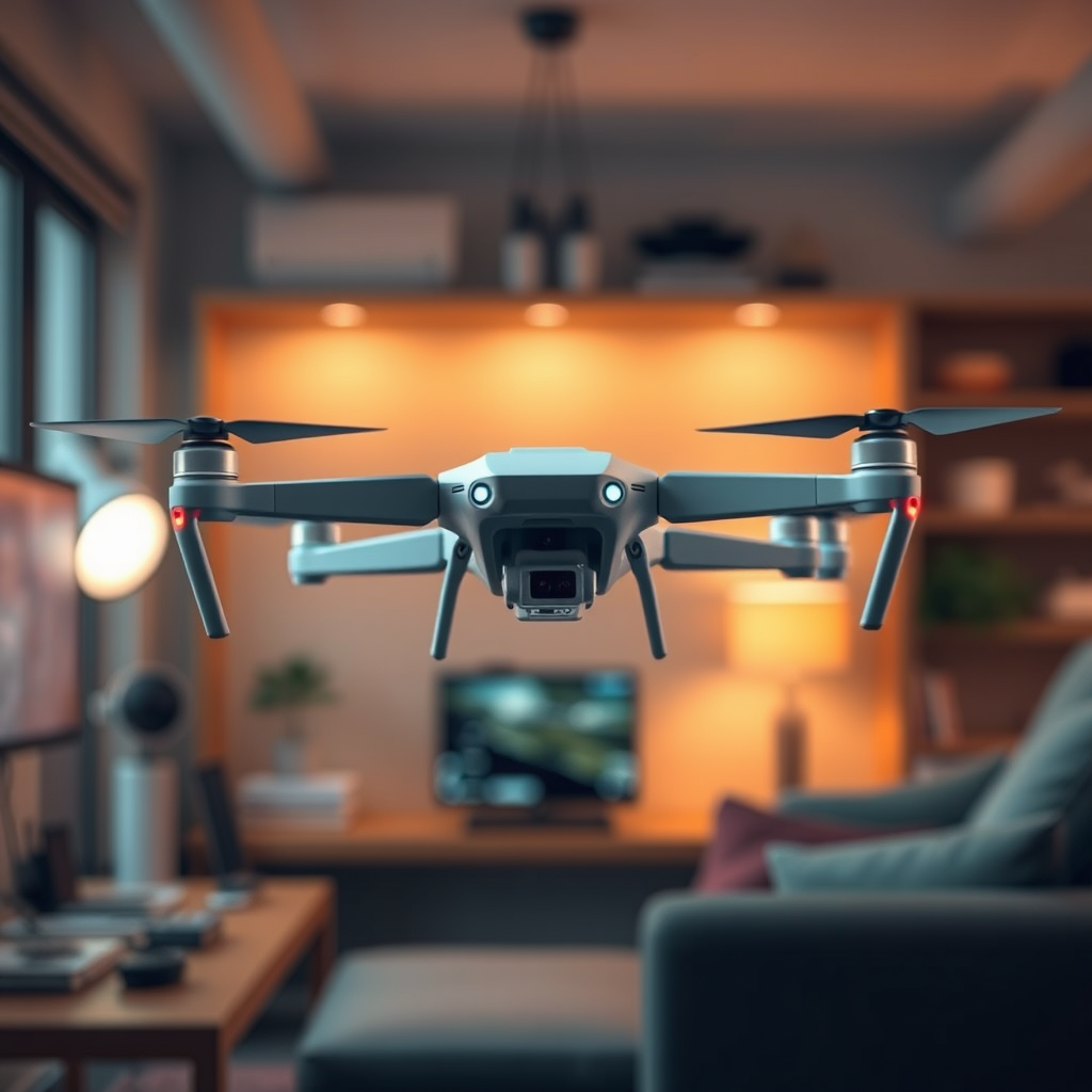
Drone tracking technology primarily relies on Global Positioning System (GPS) capabilities, which are integrated into many consumer and commercial drones. This built-in GPS provides real-time location data, allowing users to monitor their drones’ flight paths accurately. For instance, a drone equipped with GPS can relay its coordinates back to the user, who can view this information on a smartphone or computer interface.
In addition to GPS, many tracking systems utilize radio signals to transmit data over short to medium distances. These systems may include telemetry modules that send flight data, such as altitude, speed, and direction, back to the operator. Some drones also use cellular networks or satellite communication to ensure connectivity, even in remote areas. The combination of these technologies provides a comprehensive tracking solution, enabling drone operators to maintain situational awareness during flights.
Common Methods to Track Drones

There are several common methods to track drones, ranging from smartphone applications to dedicated hardware solutions. One of the most accessible options for drone enthusiasts is smartphone apps such as AirMap and Drone Tracker. These applications allow users to input their drone’s information and receive real-time location updates. They often include features like no-fly zone alerts and airspace information, making them useful for both hobbyists and professionals.
For more advanced tracking capabilities, dedicated tracking devices can be attached to drones. These devices are typically more robust and offer enhanced features such as longer range, improved signal strength, and additional telemetry data. For example, devices like the Trackimo GPS Tracker can provide real-time tracking and send notifications if the drone strays outside a predefined area. Such solutions are particularly beneficial for commercial drone operators who require high accuracy and reliability in their tracking systems.
Legal and Privacy Considerations
While tracking drones can enhance safety and operational efficiency, it is essential to consider the legal and privacy implications associated with such practices. Tracking drones may raise privacy concerns, particularly if individuals are monitoring drones without consent. Therefore, it is crucial to understand local regulations governing drone tracking and monitoring.
In many jurisdictions, laws dictate the conditions under which drones can be tracked. For instance, the Federal Aviation Administration (FAA) in the United States has established guidelines for drone operation, which include requirements for Remote ID systems that enhance accountability. Other regions may have differing regulations, so individuals should familiarize themselves with local laws to avoid potential legal issues. Understanding these legal frameworks is essential to ensure compliance while tracking drones.
The Role of Remote ID
Remote ID is a significant development in drone tracking technology, designed to improve safety and accountability in the airspace. This system allows drones to broadcast their identification and location information to other airspace users, including manned aircraft, law enforcement, and regulatory bodies. The implementation of Remote ID is a game changer for drone operations, as it significantly enhances situational awareness and reduces the potential for conflicts between drones and traditional aircraft.
Remote ID works similarly to a digital license plate, providing real-time data about the drone’s position and owner. This technology is particularly important as drone usage continues to grow, leading to increased congestion in the airspace. By promoting transparency, Remote ID can help foster a safer environment for all airspace users, ensuring that drones operate responsibly and within the bounds of applicable regulations.
Challenges in Drone Tracking
Despite the advancements in drone tracking technology, several challenges persist. One major issue is signal interference, which can significantly affect tracking accuracy. Environmental factors such as tall buildings, dense forests, or even adverse weather conditions can disrupt GPS signals, making it difficult to maintain a reliable connection. Operators must be aware of these potential obstacles and plan their flights accordingly to mitigate the risks associated with signal loss.
Another challenge is that not all drones are equipped with tracking technology. While many higher-end models come with built-in GPS and telemetry systems, lower-cost or older drones may lack these features. This limitation can make tracking such drones difficult or even impossible, posing a challenge for operators who wish to monitor their flights closely. As a result, drone users must consider the capabilities of their specific models and explore alternative solutions if necessary.
Future Trends in Drone Tracking
Looking ahead, advancements in technology are likely to lead to more widespread adoption of drone tracking systems. As drone regulations continue to evolve, there will be increasing demand for efficient tracking solutions that ensure compliance and safety. The integration of drone tracking systems with air traffic management technologies is one promising trend that could enhance tracking capabilities significantly.
Technological innovations such as artificial intelligence (AI) and machine learning will also play a role in the future of drone tracking. These technologies could enable more sophisticated analysis of drone flight patterns and improve the accuracy of tracking systems. Furthermore, the development of collaborative systems that allow drones to communicate with each other and share location data could enhance overall safety and situational awareness in the airspace.
As drone technology continues to advance, so too will the tools available for tracking them. This evolution will be crucial in addressing the challenges associated with increased drone usage and ensuring safe, responsible operations.
In conclusion, tracking drones is not only feasible but is becoming increasingly important as drone usage grows across various sectors. Understanding the available tracking methods, legal implications, and emerging technologies can help individuals and organizations navigate this evolving landscape effectively. By considering their specific needs and leveraging the right tools, drone operators can ensure safe and compliant operations while enjoying the benefits of enhanced tracking capabilities.
Frequently Asked Questions
Can you track drones in real time?
Yes, you can track drones in real time using various technologies and methods. Many commercial drones are equipped with GPS systems that allow users to monitor their location via a mobile app or web interface. Additionally, some advanced tracking solutions utilize ADS-B receivers, which can capture and display the real-time position of drones that are broadcasting their telemetry data.
How can I track a drone flying in my area?
To track a drone flying in your area, you can use drone tracking apps such as AirMap or DroneLogger, which provide real-time information on drone activity. Additionally, you can check local regulations to find out if there are any specific tracking systems or websites that offer information about drone flights in your vicinity. Keep in mind that tracking capabilities may vary based on the type of drone and its broadcasting settings.
Why would someone want to track a drone?
There are several reasons someone might want to track a drone, including safety, security, and privacy concerns. For instance, property owners may want to ensure that drones are not infringing on their airspace, while businesses may track deliveries made by drones. Furthermore, tracking drones can help authorities monitor air traffic and ensure compliance with local regulations, enhancing overall airspace safety.
What are the best drone tracking apps available?
Some of the best drone tracking apps available include AirMap, which offers comprehensive airspace information and tracking capabilities, and DroneDeploy, known for its mapping and monitoring features. Other notable apps are UAV Forecast, which provides weather information for drone flying, and Skyward, which offers tracking alongside regulatory compliance tools. Each app has unique features, so it’s beneficial to explore them to find the one that best meets your tracking needs.
Which devices can be used to track drones?
Various devices can be used to track drones, including smartphones with dedicated drone tracking apps, ADS-B receivers, and specialized drone tracking systems like FLIR’s SkyWatch. Additionally, some drones come equipped with built-in GPS tracking and telemetry systems that allow for tracking via their manufacturer’s app. Using a combination of these devices can provide comprehensive tracking capabilities for drone enthusiasts and professionals alike.
References
- https://en.wikipedia.org/wiki/Drone#Tracking_and_regulation
- https://www.faa.gov/uas/
- https://www.ncbi.nlm.nih.gov/pmc/articles/PMC6078887/
- https://www.bbc.com/news/technology-56027045
- https://www.theguardian.com/us-news/2021/oct/01/drones-surveillance-privacy-rights
- https://www.reuters.com/technology/drones-use-explained-2021-07-02/
- https://www.rand.org/pubs/research_reports/RR2635.html
