
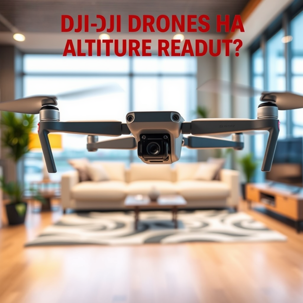
Many DJI drones do come equipped with an altitude readout feature that provides real-time data on the drone’s height above ground level. This functionality is particularly useful for pilots to maintain safe flying distances and comply with regulations. By understanding how altitude readouts work, which models offer this feature, and their significance, drone operators can enhance their flying experience and ensure compliance with aviation standards.
Understanding Altitude Readout in Drones

Altitude readout is a critical feature in modern drones, particularly those manufactured by DJI. This readout indicates the drone’s current height above ground level (AGL) in real time, allowing operators to monitor their altitude continuously during flight. On many DJI drones, this data is presented on the remote control screen or through the DJI mobile app. The readouts are often displayed in either imperial or metric units, depending on user preference. This information is not just a numerical display; it is vital for ensuring that the drone operates well within legal flight parameters and maintains a safe distance from obstacles, other aircraft, and the ground.
The systems that provide altitude readout typically rely on a combination of GPS data and barometric sensors. While GPS gives a general idea of altitude, barometric sensors provide more precise AGL readings by measuring the atmospheric pressure around the drone. It is essential for drone operators to understand how these systems work to utilize the altitude readout effectively.
Which DJI Models Feature Altitude Readout?

DJI has integrated altitude readout technology in most of its recent drone models, making it a standard feature in lines like the Mavic series and the Phantom series. For instance, the DJI Mavic Air 2 and the Phantom 4 Pro both provide accurate altitude readouts, aiding in a more controlled flying experience. These models utilize advanced sensor technology that ensures reliable data for altitude management.
In contrast, older models, such as the original DJI Phantom series or the Phantom 2 Vision, may lack comprehensive altitude readout capabilities or provide only basic data. These earlier drones often rely solely on GPS for altitude information, which may not always be accurate due to signal fluctuations or environmental interferences. Therefore, it is advisable for operators to check the specifications of their drone models to confirm whether they include robust altitude readout features.
How Altitude Readout Benefits Drone Operators
The benefits of having an altitude readout are numerous and significant. First and foremost, it enhances safety by helping pilots avoid flying too low or too high, which could lead to accidents or violations of airspace regulations. For example, many countries have set altitude limits for drone operations—often around 120 meters (400 feet) above ground level. By having real-time altitude data, operators can ensure they remain within these limits.
Moreover, altitude readouts assist in adhering to local laws and aviation regulations. This compliance is crucial, particularly in urban areas or near airports where strict regulations govern drone flight. Knowing the drone’s altitude can help operators avoid restricted zones, thereby reducing the risk of fines or confrontations with law enforcement.
Additionally, altitude awareness can contribute to better flight planning. For instance, knowing the altitude can help operators determine the best time and location for capture stunning aerial footage, particularly in hilly or mountainous terrains where elevation changes can be dramatic.
Interpreting Altitude Readout Data
To make the most of altitude readout data, operators must understand the distinction between altitude above sea level (ASL) and height above ground level (AGL). Altitude above sea level refers to the drone’s height relative to sea level, while height above ground level measures the drone’s distance from the immediate ground directly below it. This distinction is crucial when flying in varying terrains, as altitude readouts may need to be adjusted accordingly.
Effective flight planning also involves considering weather conditions, which can affect altitude readings. For instance, a sudden drop in air pressure due to a storm can misrepresent altitude data. Therefore, operators should always cross-reference altitude readouts with visual observations and situational awareness during flights.
To enhance flight planning, consider using altitude readouts for route mapping. By plotting waypoints at specific altitudes, operators can create more efficient flight paths that avoid potential obstacles and adhere to regulatory limits.
Common Issues with Altitude Readout
While altitude readout is a beneficial feature, it does come with potential issues that operators should be aware of. One common problem is inaccuracy, particularly due to environmental factors such as GPS signal loss or interference. For instance, flying in areas with tall buildings, dense forests, or adverse weather conditions can compromise GPS accuracy, leading to misleading altitude readings.
To troubleshoot altitude readout problems, operators can take several steps. First, always ensure that the drone’s firmware is up-to-date, as updates often include improvements to sensor accuracy and reliability. Additionally, before launching the drone, pilots should perform a pre-flight check to ensure all systems are functioning correctly, including GPS and barometric sensors. If altitude discrepancies persist, consider recalibrating the drone’s sensors before the next flight.
Enhancing Your Drone Experience with Altitude Awareness
Altitude awareness can significantly enhance the overall drone flying experience. For example, operators can utilize altitude data to capture stunning aerial photography by adjusting camera settings based on the drone’s altitude. For instance, when flying at lower altitudes, photographers may choose to increase shutter speed to avoid motion blur, particularly in dynamic environments.
Furthermore, operators can leverage altitude readouts to execute advanced maneuvers, such as flying at varying altitudes for dynamic shots or drone shows. Understanding how to adjust flight settings based on altitude can lead to richer and more engaging content creation.
In addition, pilots can use altitude data to plan for safe landings. By monitoring descent rates and ensuring a stable altitude during landing approaches, operators can prevent hard landings that may damage the drone.
The importance of altitude readout in DJI drones cannot be understated, as it plays a crucial role in safe and effective drone operation. Being aware of your drone’s altitude can enhance your flying experience and ensure compliance with aviation regulations. To get the most out of your DJI drone, always familiarize yourself with the altitude readout features specific to your model and utilize them during your flights. By doing so, you can maximize both safety and creativity in your aerial endeavors.
Frequently Asked Questions
Do DJI drones have altitude readout features?
Yes, DJI drones are equipped with altitude readout features that display the drone’s current altitude in real-time. This information is crucial for pilots to maintain safe flying practices, especially in areas with altitude restrictions. The altitude data can be viewed on the drone’s remote controller screen or through the DJI Fly app, ensuring users can easily monitor their flying height.
How accurate is the altitude readout on DJI drones?
The altitude readout on DJI drones is generally accurate, utilizing GPS and barometric sensors to provide precise measurements. However, it’s important to note that some environmental factors, such as changes in air pressure or interference from surrounding structures, can affect accuracy. For best results, pilots should calibrate their drones before flight, ensuring the altitude readout reflects true elevation levels.
Why is it important to monitor altitude when flying a DJI drone?
Monitoring altitude is vital for safe drone operation, as it helps prevent collisions with obstacles and ensures compliance with aviation regulations. Many areas have specific altitude limits for drone flights, and keeping track of this information helps pilots avoid legal issues and unsafe situations. Additionally, awareness of altitude aids in capturing better aerial footage by maintaining optimal heights for photography or videography.
Which DJI drones offer the best altitude readout and control?
The DJI Mavic series, including the Mavic Air 2 and Mavic 3, are among the best choices for altitude readout and control due to their advanced navigation systems and sensors. These models feature precise altitude measurement capabilities, along with intelligent flight modes that help maintain altitude stability during flight. Users looking for high performance in altitude monitoring should consider these models for their reliability and user-friendly controls.
How can I improve the altitude accuracy on my DJI drone?
To improve altitude accuracy on your DJI drone, start by ensuring that you calibrate the drone’s compass and IMU before each flight. Additionally, flying in open areas with minimal obstructions can help reduce altitude reading errors caused by GPS interference. Regularly updating the drone’s firmware through the DJI app is also essential, as updates may include improvements to altitude sensing capabilities and overall flight performance.
References
- DJI
- https://www.dji.com/information/dji-education/faq
- https://www.nasa.gov/feature/nasa-s-drone-technology
- https://www.theguardian.com/technology/2020/may/14/drones-flying-without-pilots-the-future-of-aviation
- https://www.wired.com/story/drones-altitude-readings/
- https://www.faa.gov/uas/education/
- https://www.techradar.com/news/what-is-a-drone-altitude-readout-and-why-is-it-important
- https://www.sciencedirect.com/science/article/pii/S2351978917300462
