
Drones are increasingly recognized as versatile tools that serve a multitude of applications across various industries. Their ability to capture high-quality data and images from unique angles, monitor and analyze environments, and facilitate tasks with enhanced efficiency makes them invaluable in today’s fast-paced world. From agriculture to emergency services, drones are transforming traditional practices and providing innovative solutions that drive productivity and effectiveness.
Aerial Photography and Videography

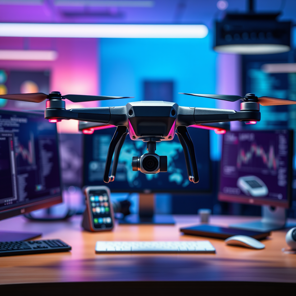
Drones have revolutionized the field of aerial photography and videography, enabling filmmakers and photographers to capture stunning images and videos that were once difficult and expensive to obtain. Equipped with high-definition cameras, drones can reach altitudes and angles that provide unique perspectives, making them ideal for capturing breathtaking landscapes, events, and promotional content.
For real estate listings, drones can create immersive virtual tours that showcase properties from above, highlighting features such as layout, proximity to amenities, and surrounding landscapes. This enhanced visual storytelling not only attracts potential buyers but also sets listings apart in a competitive market. In the realm of events, such as weddings or concerts, drones offer the ability to capture dynamic aerial footage that showcases the scale and ambiance of the event, adding significant value to the final product.
Moreover, with advancements in drone technology, including stabilization systems and improved battery life, photographers can achieve professional-quality results that enhance both artistic expression and commercial viability. As a result, the demand for drone operators with photography expertise is on the rise, providing new career opportunities in this burgeoning field.
Agriculture and Farming

In agriculture, drones are emerging as essential tools for modern farming practices. Equipped with advanced sensors and imaging technology, drones can monitor crop health, assess irrigation needs, and facilitate precision farming. By capturing detailed aerial images, drones enable farmers to identify issues such as pest infestations, nutrient deficiencies, and water stress early on, allowing for timely interventions.
For instance, multispectral imaging drones can analyze plant health by capturing data beyond the visible spectrum. This technology helps farmers optimize inputs like fertilizers and pesticides, leading to increased crop yields while minimizing waste. Farms utilizing drone technology can enhance their sustainability efforts and improve profitability through data-driven decisions.
Additionally, drones can perform tasks such as soil analysis and crop mapping, helping farmers create precise and effective farming plans. As the agriculture industry continues to embrace technology, the integration of drones stands to revolutionize farming practices, making them more efficient and environmentally friendly.
Surveying and Mapping
Drones are transforming the field of surveying and mapping by providing detailed topographical maps with a level of accuracy and speed that traditional methods cannot match. Equipped with GPS and imaging technology, drones can cover large areas quickly, generating high-resolution maps that are invaluable for construction, land development, and urban planning.
For example, in construction projects, drones can conduct site surveys to monitor progress and assess compliance with plans and regulations. This expedites the process of obtaining necessary approvals and ensures that any discrepancies are caught early, reducing costly delays. Furthermore, drones can create 3D models of landscapes, which are beneficial for visualizing projects and communicating plans to stakeholders.
The cost-effectiveness of using drones for surveying is another significant advantage. Traditional surveys often require extensive manpower and equipment, whereas drones can complete the same tasks in a fraction of the time and at a lower cost. As industries increasingly adopt drone technology, the efficiency gains and accuracy improvements will continue to shape the future of surveying and mapping.
Emergency Services and Disaster Response
In emergency services, drones are proving to be indispensable tools for search and rescue operations, disaster response, and damage assessment. By providing real-time aerial views of disaster-stricken areas, drones can assist first responders in locating missing persons and assessing situations quickly and effectively.
For instance, during natural disasters such as hurricanes or earthquakes, drones can survey affected areas to identify hazards, such as downed power lines or blocked roads. This information allows emergency services to allocate resources more efficiently, ensuring that help reaches those in need promptly. Additionally, drones equipped with thermal imaging technology can detect heat signatures, making them particularly effective in search and rescue operations during nighttime or in low-visibility conditions.
Moreover, drones play a crucial role in post-disaster assessments, helping agencies evaluate infrastructure damage and plan recovery efforts. By conducting aerial surveys, they provide detailed imagery that aids in decision-making and resource allocation, ultimately enhancing the effectiveness of disaster response strategies.
Infrastructure Inspection
Drones have significantly enhanced infrastructure inspection processes, particularly for hard-to-reach structures like bridges, towers, and power lines. Equipped with high-resolution cameras and sensors, drones can capture detailed images and data that facilitate thorough inspections without the need for scaffolding or ladders, thereby improving safety for inspectors.
For example, utility companies are increasingly using drones to inspect power lines and wind turbines. The ability to quickly and accurately assess the condition of these assets helps prevent outages and ensures that maintenance is conducted proactively. Additionally, drones can identify potential issues before they escalate into costly repairs, thus contributing to the longevity and reliability of infrastructure.
The detailed imagery provided by drones also assists in maintenance planning and risk assessment. By creating detailed records of infrastructure conditions over time, organizations can prioritize repairs and allocate budgets more effectively. As regulations around infrastructure maintenance become more stringent, the adoption of drone technology will likely continue to grow, enhancing safety and efficiency in inspections.
Delivery Services
The logistics industry is on the brink of a transformation thanks to the potential of drones for delivery services. Companies are exploring the use of drones to deliver packages, food, and medical supplies, offering faster delivery times and access to remote areas that may be challenging for traditional vehicles to reach.
For instance, companies like Amazon and Google are testing drone delivery systems that promise to revolutionize how goods are transported. By using drones, businesses can significantly reduce delivery times, offering customers a more efficient shopping experience. Furthermore, during emergencies such as natural disasters, drones can deliver essential supplies to areas cut off from traditional transport routes, providing critical support when it’s needed most.
However, challenges remain in the widespread adoption of drone delivery, including regulatory hurdles and safety concerns. As technology advances and regulations adapt, the integration of drones into delivery systems is expected to grow, reshaping logistics and supply chain management.
Environmental Monitoring
Drones are playing a vital role in environmental monitoring, enabling researchers and conservationists to gather data on wildlife, track deforestation, and assess environmental changes over time. Their ability to cover vast areas quickly and collect high-resolution data makes them invaluable for environmental studies.
For example, drones equipped with cameras and sensors can monitor wildlife populations and habitats, providing critical insights for conservation efforts. By capturing images of ecosystems, drones help researchers understand the impact of climate change and human activity, allowing for more effective conservation strategies.
Additionally, drones can be used to track deforestation, capturing data that can inform policy decisions and promote sustainability initiatives. By providing timely and accurate information, drones support efforts to protect natural resources and mitigate environmental issues.
As environmental concerns continue to grow, the role of drones in monitoring and research is expected to expand, offering innovative solutions to address pressing ecological challenges.
The applications of drones are vast and continually expanding, impacting various sectors significantly. As technology advances, we can expect even more innovative uses to emerge, making drones an essential tool in modern society. Explore how drones can enhance your industry or interest, and consider integrating them into your projects for improved efficiency and effectiveness.
Frequently Asked Questions
What are the primary uses of drones in agriculture?
Drones are revolutionizing agriculture by providing farmers with advanced tools for monitoring crop health, optimizing irrigation, and assessing field conditions. With the ability to capture high-resolution images and data, drones can identify areas that need attention, allowing for precision agriculture practices that enhance yields and reduce resource waste.
How can drones be utilized in construction projects?
Drones are increasingly used in construction for site surveying, project monitoring, and safety inspections. They enable real-time aerial imagery and 3D mapping, allowing project managers to visualize progress and make informed decisions. Additionally, drones can quickly assess safety compliance and provide valuable data for future planning.
Why are drones popular for aerial photography and videography?
Drones are favored for aerial photography and videography due to their ability to capture stunning, high-quality images from unique perspectives that were previously difficult or costly to achieve. Equipped with advanced stabilization technology and high-resolution cameras, drones provide filmmakers and photographers with a versatile tool to enhance storytelling and create captivating visuals.
Which industries benefit the most from using drones?
Several industries benefit significantly from the use of drones, including agriculture, construction, real estate, and emergency services. In agriculture, drones help optimize crop production; in construction, they streamline project management; in real estate, they enhance property listings with aerial views; and in emergency services, drones assist in disaster response and search-and-rescue operations.
What are the best drones for recreational use?
The best drones for recreational use often include beginner-friendly models like the DJI Mini SE or the Holy Stone HS720. These drones offer user-friendly controls, good camera quality, and features like GPS positioning and obstacle avoidance, making them ideal for hobbyists. They provide a balance between performance and affordability, ensuring an enjoyable flying experience for newcomers and seasoned enthusiasts alike.
References
- https://en.wikipedia.org/wiki/Drone
- https://www.faa.gov/uas/
- https://www.nasa.gov/mission_pages/constellation/launch/drones.html
- https://www.reuters.com/technology/drones-are-being-used-deliver-medical-supplies-2020-04-06/
- https://www.sciencedirect.com/science/article/pii/S235197892030026X
- https://www.bbc.com/news/technology-50846756
- https://www.nationalgeographic.com/science/article/the-science-and-technology-of-drones
- https://www.itu.int/en/ITU-T/focusgroups/dfs/Documents/FG-DFS-2019-07-02-0004-01.pdf