
Drones transform urban infrastructure by giving you high-resolution aerial data for efficient bridge and road inspections, reducing hazards and speeding maintenance. They monitor traffic in real time, identifying congestion points for smarter flow management. In construction, drones track progress and safety, while supporting utility upkeep and environmental monitoring. They enable rapid disaster response through immediate damage assessment and coordination. These advances reduce costs and boost urban efficiency. There’s much more to explore about their evolving role in city management.
Enhancing Bridge and Roadway Inspections
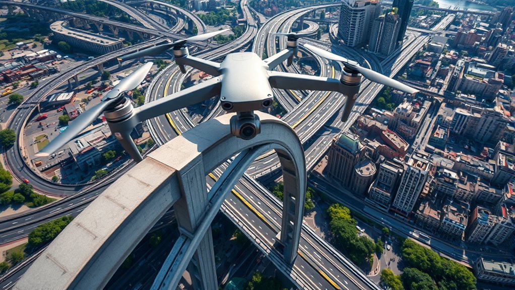
While traditional bridge and roadway inspections rely heavily on manual labor and visual assessments, drones are revolutionizing the process by providing high-resolution aerial data with greater efficiency and safety. You can leverage drone technology to access hard-to-reach areas quickly, minimizing disruptions and hazards associated with conventional inspections. This infrastructure innovation enables detailed imaging and real-time data analysis, allowing you to identify structural weaknesses or potential failures earlier than before. By adopting drones, you gain freedom from prolonged shutdowns and reduce dependence on costly scaffolding or cranes. The precision of drone-captured data supports predictive maintenance, optimizing resource allocation and extending asset lifespan. Embracing this technology means you’re not just inspecting infrastructure—you’re actively shaping a smarter, safer urban environment that adapts efficiently to growing demands.
Monitoring Urban Traffic Patterns
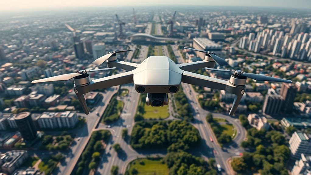
As urban areas grow more complex, you’ll find that monitoring traffic patterns with drones offers unparalleled insights into congestion and flow dynamics. Drones provide a bird’s-eye view, enabling real-time traffic flow analysis across multiple intersections and arterial roads simultaneously. This data empowers you to identify bottlenecks with precision and conduct detailed congestion analysis, helping optimize signal timings and route planning. Unlike traditional fixed sensors, drones adapt quickly to changing conditions, delivering flexible, scalable monitoring without costly infrastructure. By leveraging this technology, you gain the freedom to make proactive, data-driven decisions that alleviate gridlock and improve commute times. In the near future, integrating drone-collected traffic data with AI will further enhance predictive traffic management, transforming urban mobility into a more efficient and responsive system tailored to your city’s unique needs.
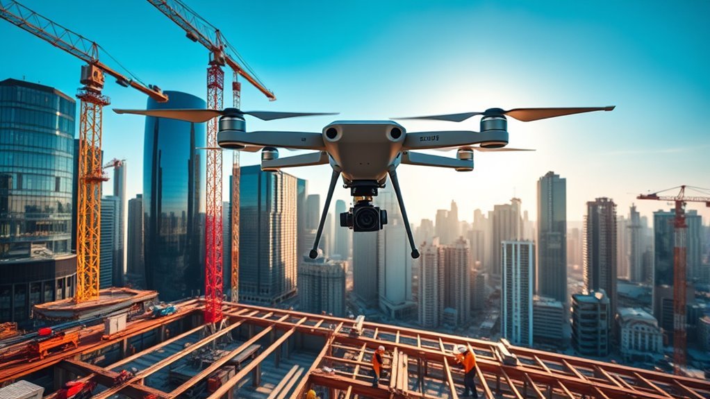
Assisting in Construction Site Management
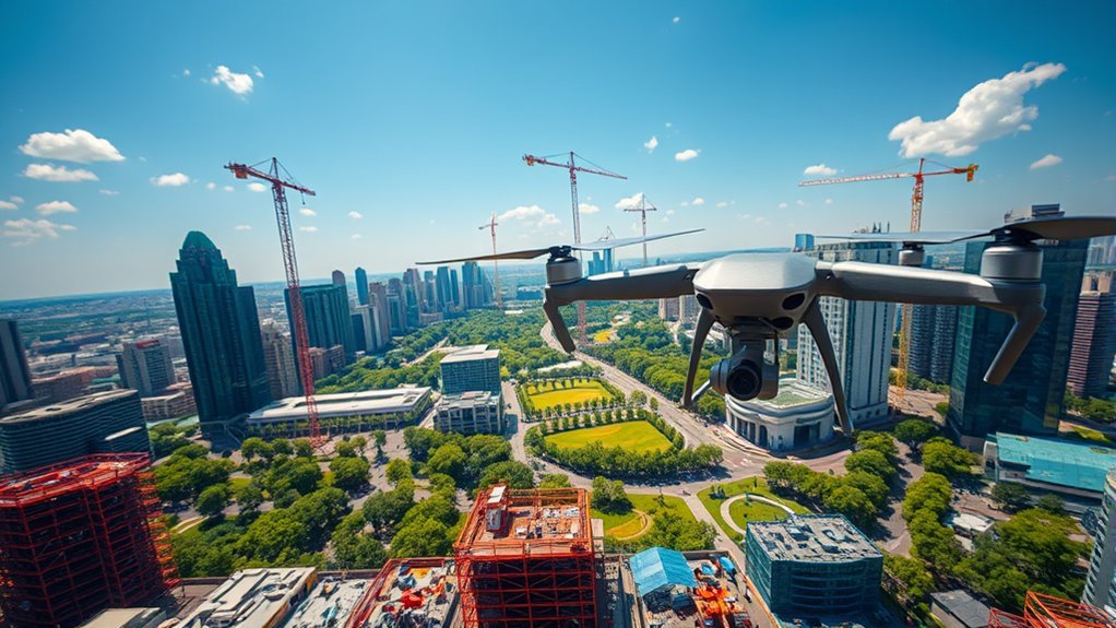
You can use drones to track construction progress in real time, giving you precise updates without waiting for manual reports. They also help enforce safety regulations by identifying hazards quickly and ensuring compliance on-site. This technology lets you manage projects more efficiently while minimizing risks.
Real-Time Progress Monitoring
Three key advantages of real-time progress monitoring with drones transform how you manage construction sites: immediate data capture, enhanced accuracy, and streamlined communication. By leveraging aerial imagery assessment, you gain a thorough view of the site’s evolving conditions without being tied down to physical inspections. This enables precise real time data analysis, allowing you to swiftly identify deviations from plans and address delays proactively. You’re empowered to make informed decisions on resource allocation and scheduling, maintaining momentum and reducing costly downtime. The seamless flow of accurate, up-to-date information also fosters transparency among stakeholders, freeing you from bottlenecks in communication. Ultimately, this approach liberates you from traditional constraints, offering a dynamic, efficient way to oversee complex construction projects while embracing technological innovation.
Enhanced Safety Compliance
Enhanced safety compliance hinges on the ability to monitor hazards continuously and respond proactively, and drones are proving indispensable in this regard. With proper drone training, you can navigate construction sites remotely, identifying risks without putting personnel in harm’s way. Drones guarantee strict adherence to safety regulations by capturing detailed aerial data, enabling swift corrective actions. This proactive approach not only protects workers but also streamlines compliance documentation, freeing you from tedious manual inspections.
| Aspect | Benefit | Impact |
|---|---|---|
| Continuous Monitoring | Real-time hazard detection | Immediate risk mitigation |
| Drone Training | Skilled operators | Enhanced data accuracy |
| Safety Regulations | Automated compliance checks | Reduced violations and fines |
| Data Management | Centralized records | Efficient audit readiness |
Utilizing drones offers you freedom to manage sites dynamically while upholding rigorous safety standards.
Improving Public Safety Through Surveillance
Although concerns over privacy remain, drones have become indispensable tools for improving public safety through real-time surveillance in urban areas. When you consider drone surveillance, its ability to provide aerial perspectives equips authorities to monitor crowded events, traffic congestion, and potential threats swiftly. This technology enhances urban safety by enabling rapid response to emergencies without relying solely on ground units. Importantly, drones can cover vast areas efficiently, reducing blind spots common in traditional surveillance methods. You benefit from this advancement as it balances security needs with minimal intrusion, preserving your freedom while maintaining vigilance. As drone technology evolves, integrating AI-driven analytics will further refine threat detection, ensuring urban environments remain both safe and free. Embracing drone surveillance thoughtfully means shaping a future where safety and liberty coexist seamlessly.
Facilitating Efficient Utility Maintenance
A key advantage of drones lies in their ability to streamline utility maintenance across urban landscapes. When you rely on drone inspections, you gain rapid, precise data without disrupting daily life. This means you can identify faults or wear before they escalate, saving time and resources. Utility mapping from the sky lets you visualize complex networks in real time, enhancing decision-making and reducing human error. Imagine having the freedom to monitor vast infrastructures effortlessly and respond proactively.
- Quickly detect pipeline leaks and electrical faults with high-resolution imaging
- Update utility mapping dynamically to reflect ongoing urban development
- Access hard-to-reach areas safely, minimizing the need for manual inspections
Supporting Environmental and Green Space Management
You can use drones to monitor urban tree health with precise imaging that detects stress and disease early. These aerial tools also help you manage green space boundaries more accurately than traditional methods. By integrating drone data, you’ll enhance environmental stewardship and optimize urban greenery maintenance.
Monitoring Urban Tree Health
When managing urban green spaces, you’ll find that drones offer unparalleled precision in monitoring tree health. Their aerial vantage points enable extensive tree canopy assessment, revealing subtle changes in foliage density that hint at stress or disease. You can detect pest infestations early, allowing swift intervention before damage escalates. This proactive approach preserves tree health and urban biodiversity, ensuring green spaces remain resilient and vibrant.
With drone technology, you can:
- Capture high-resolution multispectral images to assess photosynthetic activity
- Identify pest hotspots through thermal and visual data analysis
- Monitor tree growth patterns over time with repeatable flight paths
Managing Green Space Boundaries
Although green space boundaries often seem fixed, managing them dynamically is essential for sustainable urban planning. You’ll find that drones enable precise green space mapping, capturing real-time data to inform boundary delineation with unmatched accuracy. This dynamic approach helps you adapt green space limits in response to urban growth, environmental changes, or community needs. By integrating drone-collected data, you gain a detailed, up-to-date spatial understanding that supports informed decisions, preventing encroachment and preserving ecological integrity. This level of control not only safeguards natural habitats but also promotes accessibility and freedom in urban environments. Embracing drone technology for boundary delineation empowers you to balance development pressures with environmental stewardship, ensuring urban green spaces remain vibrant, resilient, and freely enjoyed by all.
Enabling Rapid Disaster Response and Recovery
Since disasters often strike without warning, having drones integrated into urban infrastructure can dramatically enhance how quickly you assess damage and coordinate relief efforts. Drones facilitate real-time disaster mapping, giving you a clear, immediate picture of affected areas. This insight lets you optimize emergency logistics, ensuring resources reach where they’re needed most without delay. By deploying drones, you gain a flexible tool that improves response times and maximizes operational efficiency during crises.
- Rapid aerial surveys to identify structural damage and hazards
- Streamlined coordination of rescue teams and supply distribution
- Continuous monitoring to adapt strategies as conditions evolve
Embracing drone technology empowers you to respond swiftly and effectively, preserving freedom through resilient, adaptive urban disaster management.
Collecting Data for Smart City Planning
As urban environments grow increasingly complex, collecting precise, real-time data becomes essential for smart city planning. You can leverage drone surveys to capture high-resolution imagery and sensor data, feeding into urban analytics platforms that help you make informed decisions. This data supports optimizing traffic flow, monitoring environmental conditions, and planning infrastructure upgrades with accuracy.
| Data Type | Drone Survey Application |
|---|---|
| Traffic Patterns | Real-time congestion analysis |
| Environmental | Air quality and noise level mapping |
| Structural Health | Monitoring bridges and roads |
| Land Use | Identifying development opportunities |
Reducing Costs and Increasing Efficiency in Infrastructure Projects
When you integrate drone technology into infrastructure projects, you can greatly cut costs and boost efficiency by streamlining data collection and reducing the need for manual inspections. This approach enhances project optimization through real-time monitoring and precise cost analysis, empowering you to allocate resources more effectively and avoid costly delays. Drones provide extensive aerial views and detailed imagery, enabling you to spot potential issues early and adjust plans promptly.
- Conduct rapid site surveys without disrupting workflow
- Automate progress tracking with high-frequency data capture
- Reduce labor costs by minimizing risky manual inspections