
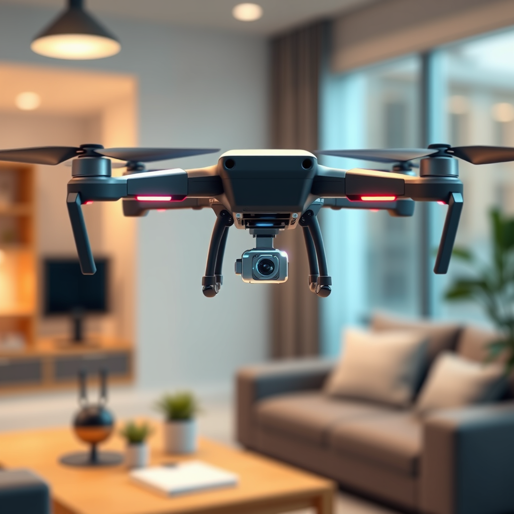
Drones are utilizing holographic sensors to enhance their navigation capabilities, allowing for more precise and efficient flight operations. These advanced sensors offer improved spatial awareness and obstacle detection, significantly elevating the functionality of drones in various applications. Holographic technology helps drones interpret their surroundings in three dimensions, leading to smarter navigation decisions and safer operational environments. In this article, we will explore how these technologies work and their implications for the future of drone navigation.
Understanding Holographic Sensors

Holographic sensors create three-dimensional images of the environment by capturing depth and spatial relationships, which are crucial for accurate navigation. Unlike traditional sensors that provide a two-dimensional view, holographic sensors utilize light interference patterns to generate real-time data regarding the surroundings of the drone. This process involves recording the light scattered from an object and reconstructing it into a three-dimensional image that the drone’s onboard systems can analyze. The ability to visualize the environment in three dimensions enhances the drone’s understanding of obstacle locations, terrain variations, and other critical navigation factors.
These sensors operate effectively by employing laser light sources and advanced optics, which allow for high-resolution imaging even in complex environments. The result is a significant enhancement in spatial awareness, enabling drones to make informed decisions based on their real-time environment. As a result, drones equipped with holographic sensors can navigate through challenging terrains, including urban landscapes with tall buildings or dense forests, where traditional sensors may struggle.
The Role of Holographic Technology in Navigation

Holographic technology significantly improves the accuracy of navigation systems by reducing errors in positioning, which is vital for autonomous flight operations. Traditional navigational methods, such as GPS, can be susceptible to signal loss or inaccuracies, especially in obstructed environments. Holographic sensors mitigate these challenges by providing a continuous stream of precise spatial data, allowing for more reliable positioning information.
Through enhanced imaging, drones can identify obstacles and navigate complex environments more effectively. For instance, a drone flying through an urban area can detect and avoid buildings, trees, power lines, and even pedestrians. The 3D mapping capabilities of holographic sensors enable drones to create detailed representations of their surroundings, allowing for advanced path planning and obstacle avoidance strategies. This precision not only improves navigation efficiency but also enhances the overall safety of drone operations, reducing the risk of crashes and collisions.
Applications of Holographic Sensors in Drones
Drones equipped with holographic sensors are being employed in a wide range of applications, demonstrating their versatility and effectiveness. In agriculture, for example, these sensors are utilized for precision farming and crop monitoring. Holographic imaging allows farmers to assess crop health, identify areas requiring irrigation, and even detect pest infestations early on, leading to improved yields and resource management.
In search and rescue operations, the advantages of holographic sensors become even more pronounced. Drones can navigate difficult terrains—such as mountains, forests, or disaster-stricken areas—more efficiently than traditional methods. With their ability to visualize complex environments, these drones can quickly locate individuals in distress, assess the situation, and relay critical information to rescue teams. This capability has proven invaluable in emergencies, where every second counts, and traditional search methods may be hindered by obstacles.
Moreover, industries such as construction and surveying are increasingly leveraging holographic sensors for site inspections and mapping. Drones can create accurate 3D models of construction sites, monitor progress, and ensure compliance with safety regulations. This application not only saves time but also reduces costs associated with manual inspections.
Benefits of Using Holographic Sensors
The integration of holographic sensors into drone technology presents numerous benefits, particularly concerning safety and operational efficiency. One of the primary advantages is increased safety due to improved obstacle detection and avoidance capabilities. Drones equipped with these sensors can effectively perceive their environment, reducing the likelihood of accidents caused by undetected obstacles. This is especially critical in urban environments where drones must navigate around people and infrastructure.
Enhanced operational efficiency is another significant benefit. With more reliable navigation capabilities, drones can complete tasks faster and with greater reliability. For instance, in delivery services, drones can optimize their flight paths in real-time, avoiding obstacles while ensuring that packages reach their destinations promptly. This efficiency is not just limited to speed; it also translates to cost savings for businesses that rely on drone technology.
Furthermore, the data collected by holographic sensors can be used for analytical purposes, providing insights that can lead to informed decision-making. For businesses, the ability to gather and analyze environmental data enhances strategic planning and operational efficiency.
Challenges and Limitations
Despite the numerous advantages of holographic sensors, their integration into drone technology presents certain challenges and limitations. One of the primary barriers is the cost associated with these advanced sensors. Holographic sensors require sophisticated materials and manufacturing processes, which can make them prohibitively expensive for some applications, particularly in consumer markets.
Additionally, the processing power required to analyze the data generated by holographic sensors is significant. Drones must be equipped with high-performance computing capabilities to interpret the complex data streams in real-time, which can further drive up costs and limit accessibility.
Environmental factors also pose challenges to holographic sensor performance. Conditions such as fog, heavy rain, or bright sunlight can interfere with the sensors’ ability to accurately capture and interpret data, potentially compromising navigation capabilities. As such, while holographic sensors represent a significant leap forward in drone technology, their effectiveness can be situationally dependent.
Future Trends in Drone Navigation
Looking ahead, ongoing research and development are focused on miniaturizing holographic sensors for broader adoption in consumer drones. As technology advances, it is anticipated that these sensors will become more affordable and accessible, opening up new possibilities for various applications. The miniaturization process will not only reduce costs but also allow for the integration of holographic sensors into smaller drones, expanding their usability in tight or restricted spaces.
Furthermore, the integration of artificial intelligence (AI) with holographic technology is expected to further enhance navigation accuracy and decision-making. AI algorithms can process vast amounts of data generated by holographic sensors, enabling drones to adapt and respond to dynamic environments in real-time. This synergy between AI and holographic technology holds the potential to revolutionize drone operations, leading to smarter, more autonomous systems capable of tackling increasingly complex tasks.
As these advancements continue, we can expect to see innovative applications emerge across industries. From urban air mobility solutions to advanced delivery systems, the future of drone navigation is poised for significant transformation, driven by holographic technologies.
The advancements in holographic sensors are transforming the landscape of drone navigation, making them more reliable and efficient across various industries. These sensors enhance spatial awareness, improve obstacle detection, and enable drones to navigate complex environments with remarkable precision. As technology evolves, we can expect to see even more innovative applications and improvements in drone capabilities. For those interested in the future of aerial technology, staying informed about these developments is crucial.
Frequently Asked Questions
What are holographic sensors and how do they work in drone navigation?
Holographic sensors are advanced optical devices that capture and process three-dimensional images of the surrounding environment. In drone navigation, these sensors utilize light patterns to create a holographic representation of obstacles and terrain, enabling drones to navigate with enhanced precision and safety. This technology allows drones to detect changes in their surroundings in real-time, which is crucial for avoiding collisions and improving flight efficiency.
How do holographic sensors improve the safety of drone operations?
Holographic sensors significantly enhance the safety of drone operations by providing comprehensive 3D mapping of the environment, which helps in detecting obstacles and potential hazards. Unlike traditional sensors that may have limitations in detecting objects in complex environments, holographic sensors offer a more detailed view, allowing drones to make better navigation decisions. This capability reduces the risk of accidents and increases the reliability of drones in various applications, from delivery services to search and rescue missions.
Why are holographic sensors considered a game-changer in the drone industry?
Holographic sensors are considered a game-changer in the drone industry due to their ability to provide accurate real-time spatial awareness and depth perception. This technology allows drones to operate in challenging environments where traditional sensors might fail, such as dense urban areas or rugged terrains. By improving navigation capabilities, holographic sensors enable drones to perform complex tasks more efficiently, paving the way for innovative applications in sectors like agriculture, infrastructure inspection, and emergency response.
What are the best applications for drones equipped with holographic sensors?
Drones equipped with holographic sensors are particularly effective in applications requiring high precision and real-time data analysis, such as urban mapping, environmental monitoring, and infrastructure inspection. These drones can navigate intricate environments, making them ideal for tasks like surveying construction sites, assessing damage after natural disasters, and conducting wildlife research. The enhanced navigation capabilities not only improve the accuracy of data collection but also increase operational safety in these critical applications.
Which companies are leading the development of holographic sensor technology for drones?
Several companies are at the forefront of developing holographic sensor technology for drones, including industry leaders like DJI, Intel, and FLIR Systems. These companies invest heavily in research and development to integrate holographic sensors into their drone platforms, enhancing navigation and operational capabilities. Additionally, startups focused on sensor technology are emerging, contributing innovative solutions aimed at revolutionizing how drones perceive and interact with their environments.
References
- https://www.sciencedirect.com/science/article/abs/pii/S0097849319301710
- https://www.nasa.gov/feature/nasa-s-drones-and-holograms
- https://www.wired.com/story/holographic-sensors-drones-navigation/
- https://www.advancedsciencenews.com/holographic-sensors-for-drones/
- https://www.researchgate.net/publication/339751400_Holographic_Sensors_for_Aerial_Vehicles
- https://www.bbc.com/future/article/20200706-how-holograms-could-transform-drones
- https://www.nist.gov/news-events/news/2021/06/nist-develops-new-holographic-sensor-drones
- https://www.nature.com/articles/s41598-020-77292-5