
Military drone cameras can typically observe targets from several miles away, with some advanced models capable of capturing clear images from over 60,000 feet in the air. This remarkable range stems from the sophisticated technologies integrated into these drones, including high-resolution imaging and advanced sensors. However, the actual visibility range depends on various factors such as the specific drone model, camera technology, and environmental conditions. Understanding these dynamics is crucial in appreciating the capabilities and limitations of military drone surveillance.
Understanding Military Drone Camera Technology

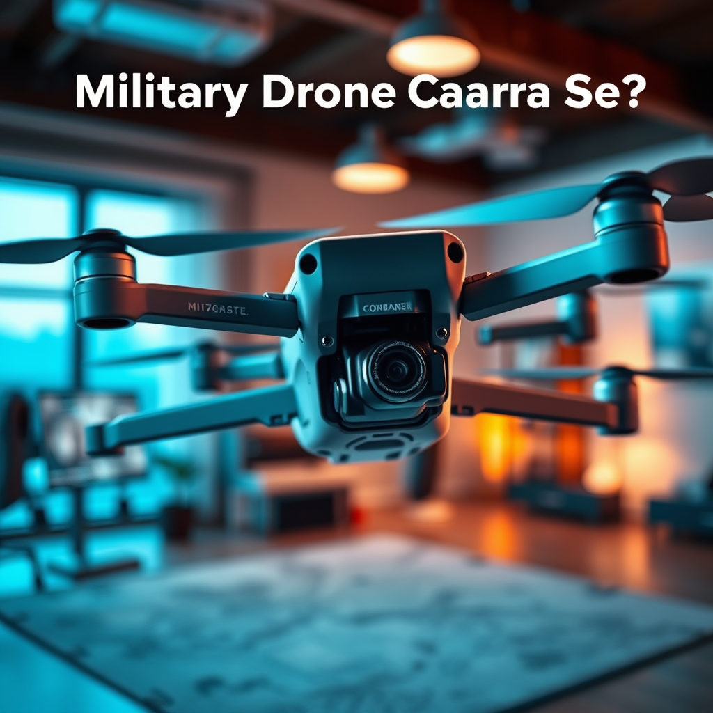
Military drones are equipped with cutting-edge camera technology which plays a pivotal role in their surveillance capabilities. These drones often utilize high-resolution cameras, including both electro-optical (EO) and infrared (IR) sensors. Electro-optical sensors capture visible light and provide high-definition images, while infrared sensors are crucial for night operations and can detect heat signatures from vehicles or personnel, even in complete darkness.
The integration of advanced imaging technology allows military drones to conduct detailed surveillance operations. For instance, the use of multi-spectral imaging enables operators to gather information across a range of wavelengths, enhancing target detection and identification. Moreover, the capability to transmit real-time video feeds back to command centers ensures that decision-makers have up-to-date information during critical operations. This blend of technology not only improves situational awareness but also enhances operational effectiveness on the battlefield.
Factors Influencing Visibility Range
Several factors significantly influence how far military drone cameras can see. One of the most crucial elements is altitude. Drones operating at higher altitudes can cover larger distances due to a reduced atmospheric obstruction. For example, drones like the MQ-9 Reaper, which can fly at altitudes of up to 50,000 feet, can survey vast areas and capture detailed images of targets several miles away.
Another critical factor is lens quality. The type of lens employed and its zoom capabilities can dramatically affect image clarity over long distances. High-quality telephoto lenses, for instance, can zoom in on targets that are miles away, providing detailed imagery that is essential for reconnaissance missions. As a result, the choice of lens and camera technology is integral to maximizing the effective range of military drone surveillance.
Types of Military Drones and Their Capabilities
The military employs various types of drones, each designed for specific functions and operational environments. Reconnaissance drones, like the MQ-1 Predator, are engineered for intelligence-gathering missions and can operate effectively at altitudes of approximately 25,000 feet. These drones are equipped with high-resolution cameras and sensors that allow them to relay valuable information back to command centers.
On the other hand, tactical drones such as the RQ-11 Raven are designed for close observation and are typically used for operations within a few kilometers. These smaller drones are highly maneuverable and can provide real-time surveillance, making them invaluable in urban environments or during ground operations. Understanding the different capabilities of these drones helps military strategists select the appropriate technology for their specific operational needs.
Real-World Applications of Drone Surveillance
Military operations have greatly benefited from the integration of drone surveillance for various applications, primarily target acquisition and battlefield awareness. Drones can monitor enemy movements, assess damage after strikes, and provide commanders with critical intelligence that informs strategic decisions. For example, during missions in conflict zones like Afghanistan and Iraq, military drones have played a crucial role in observing enemy positions and coordinating ground troop movements.
Beyond military applications, law enforcement agencies are increasingly utilizing drones for monitoring large crowds, traffic situations, and public events. These drones provide law enforcement with a bird’s-eye view, allowing for more effective crowd control and the ability to respond quickly to incidents. The versatility of drone surveillance is reshaping both military and civilian operations, enhancing situational awareness and operational efficiency.
Limitations of Military Drone Cameras
Despite their advanced capabilities, military drone cameras do have limitations that can impact their effectiveness. Weather conditions are a significant factor; fog, rain, and high winds can severely reduce visibility and hinder the ability to capture clear images. For example, a drone operating in heavy rain may struggle to provide reliable surveillance due to water droplets obscuring the camera lens.
Additionally, the Earth’s curvature and obstacles such as mountains or buildings can limit the operational range and clarity of drone imagery. In situations where terrain features obstruct the line of sight, drones may not be able to capture the required data effectively. Recognizing these limitations is essential for military strategists and operators to make informed decisions regarding drone deployments.
Future Innovations in Drone Camera Technology
The future of military drone camera technology is poised for significant advancements. Ongoing research and development are aimed at enhancing zoom capabilities and image stabilization features, which are vital for clearer long-range views. For instance, the introduction of adaptive optics technology could dramatically improve image quality by compensating for atmospheric disturbances.
Moreover, the integration of artificial intelligence (AI) and machine learning is expected to revolutionize drone operations further. These technologies can enhance target recognition and tracking, enabling drones to autonomously identify and follow specific objects of interest. As these innovations unfold, the capabilities of military drone cameras are likely to expand, making them even more effective tools in modern warfare and surveillance.
In conclusion, military drone cameras can see impressive distances, often exceeding several miles, depending on the technology used and external conditions. Factors such as altitude, lens quality, and environmental conditions play a critical role in determining visibility range. As technology continues to advance, the capabilities of these surveillance tools will likely expand even further, enhancing their utility in both military and civilian applications. Understanding these dynamics is essential for harnessing the full potential of drone surveillance in our increasingly complex operational environments.
Frequently Asked Questions
How far can a military drone camera see effectively?
The effective range of a military drone camera can vary significantly depending on the type of drone and its camera technology. Many military drones, such as the MQ-9 Reaper, are equipped with advanced sensors and cameras that can provide high-resolution imagery from altitudes of up to 25,000 feet, allowing them to observe targets from distances of several miles away. Factors like weather conditions, terrain, and the camera’s specifications can also influence visibility.
What types of cameras do military drones use for surveillance?
Military drones typically utilize a variety of cameras for surveillance, including electro-optical (EO), infrared (IR), and synthetic aperture radar (SAR). EO cameras capture high-resolution images in visible light, while IR cameras can detect heat signatures, making them useful for night operations. SAR employs radar technology to create detailed images regardless of weather conditions, allowing for effective monitoring over long distances.
Why are military drones preferred for long-range reconnaissance?
Military drones are preferred for long-range reconnaissance due to their ability to cover vast areas without exposing personnel to danger. They can fly at higher altitudes, providing a broader surveillance range while remaining undetected. Additionally, their advanced camera systems enable real-time data collection and transmission, making them invaluable for strategic operations and situational awareness.
Which military drone has the longest camera range?
Among military drones, the Global Hawk is noted for its impressive camera range, capable of flying at altitudes of up to 60,000 feet and covering large geographic areas with its high-resolution sensors. This drone is designed for high-altitude, long-endurance missions, allowing it to conduct extensive surveillance operations over vast distances, making it one of the most capable drones for reconnaissance purposes.
How does weather affect a military drone’s camera visibility?
Weather conditions can significantly impact a military drone’s camera visibility, particularly in terms of cloud cover, rain, fog, and snow. Adverse weather can obscure the camera’s line of sight and reduce image clarity, making it difficult to obtain actionable intelligence. However, many military drones are equipped with infrared cameras that can operate effectively in low-visibility conditions, allowing them to retain some functionality even in challenging weather scenarios.
References
- https://en.wikipedia.org/wiki/Military_drone
- https://www.bbc.com/news/technology-33068897
- https://www.reuters.com/article/us-usa-drones-insight-idUSKBN2AI1C4
- https://www.armytimes.com/technology/2021/03/09/us-drones-are-getting-more-capable-but-are-they-getting-more-reliable/
- https://www.military.com/equipment/drone
- https://www.rand.org/pubs/research_briefs/RB9737/index1.html
- https://www.nato.int/cps/en/natolive/topics_82756.htm
- https://www.darpa.mil/about-us/about-darpa
- https://www.sciencedirect.com/science/article/pii/S221267091830255X
