
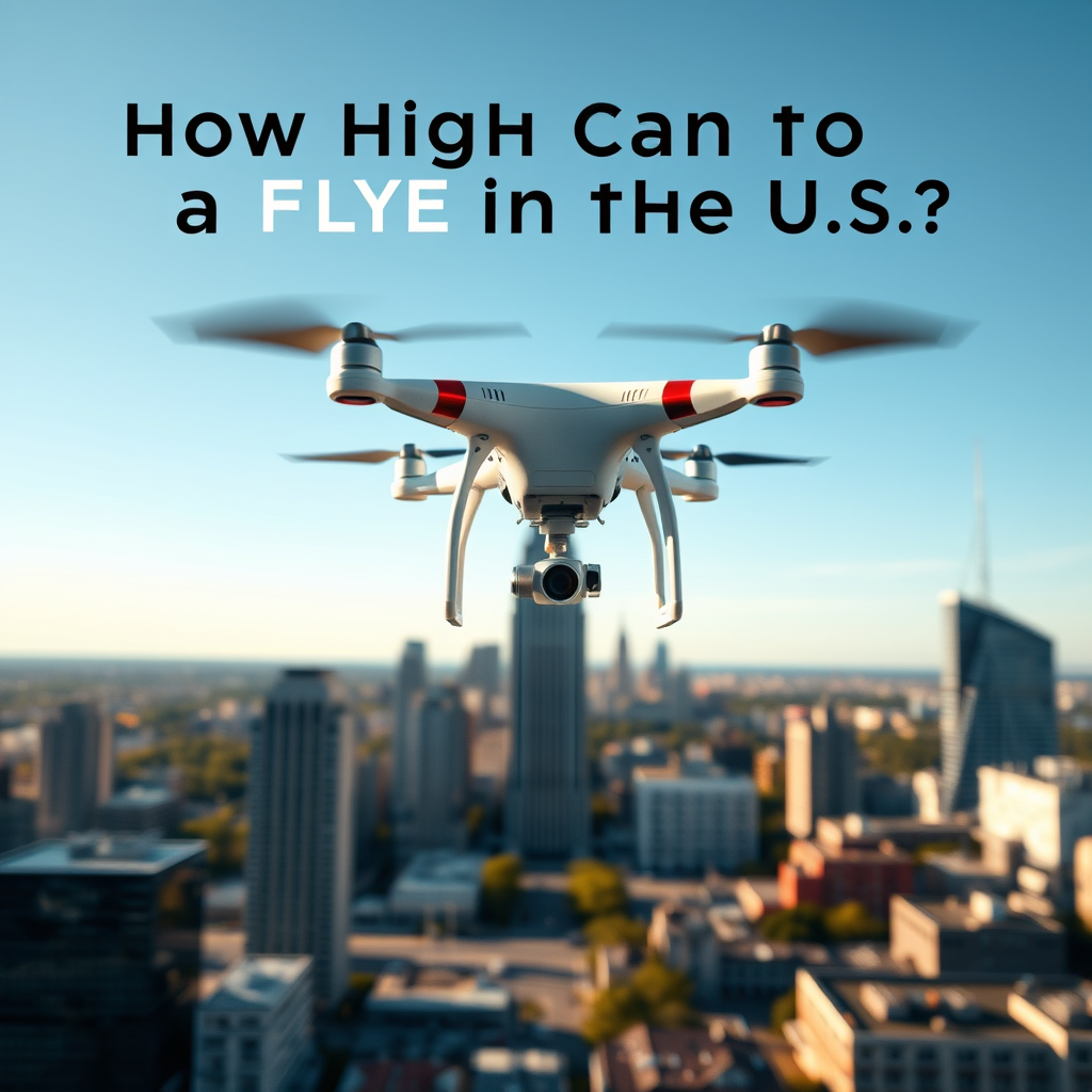
In the United States, the Federal Aviation Administration (FAA) generally allows drones to fly up to 400 feet above ground level. This altitude limit is crucial for maintaining safe airspace and preventing conflicts with manned aircraft. However, several factors can influence this maximum height, including specific regulations, flight areas, drone type, and weather conditions. Understanding these guidelines is essential for both recreational and commercial drone operators who wish to ensure compliance and safety in their operations.
FAA Regulations on Drone Altitude

The FAA has established clear regulations regarding the altitude at which drones can operate. The standard maximum altitude for drones is set at 400 feet above ground level, which is designed to keep unmanned aircraft safely separated from manned aircraft operating at higher altitudes. This regulation is particularly important in urban environments where buildings may reach significant heights.
However, there is an exception to this rule: if a drone is flying within 400 feet of a structure, the operator is permitted to ascend to 400 feet above that structure. This provision allows drone operators to capture aerial footage or perform inspections on taller buildings while still adhering to safety regulations. For instance, if a drone operator is flying near a skyscraper that is 300 feet tall, they can legally fly their drone up to 700 feet above ground level, provided they maintain visual line of sight and comply with other FAA regulations.
Special Considerations for Different Areas
While the general altitude limit is 400 feet, specific areas may impose additional restrictions on drone operations, which can significantly affect how high a drone can fly. For example, drones are not allowed to fly in restricted airspace, which often includes zones around airports, military bases, and national parks. These areas are designated to protect sensitive operations and ensure the safety of both manned and unmanned aircraft.
In addition to federal regulations, local laws may impose further altitude restrictions. Some municipalities have enacted ordinances that limit drone operations in urban areas or near public events to minimize risks. Drone operators should always check local regulations and consult resources such as the FAA’s UAS Data Delivery System to ensure they are compliant with both federal and local guidelines.
The Impact of Drone Type and Weight
The type and weight of a drone can also play a significant role in determining its operational capabilities, including its maximum safe altitude. Heavier drones may have different performance characteristics, which can affect their ability to ascend and maintain stability at higher altitudes. For instance, a lightweight consumer drone may struggle to maintain control in high winds or unstable weather conditions when flying above the 400-foot limit.
Additionally, certain drone models are specifically designed for high-altitude applications, such as surveying or agricultural monitoring. These drones often incorporate advanced technologies that allow them to operate safely at higher elevations. However, even with specialized drones, operators must still adhere to FAA regulations and ensure they are equipped to handle the demands of flying at increased altitudes.
Weather Conditions and Altitude Limitations
Weather conditions are another critical factor that can affect the safe operational altitude of a drone. Adverse weather, such as high winds, rain, or fog, can compromise a pilot’s ability to control the drone effectively. For example, strong winds can cause a drone to drift unexpectedly, making it difficult to maintain visual line of sight and increasing the risk of accidents.
Pilots should always assess weather conditions before flying and consider reducing their altitude if conditions are not favorable. Tools like weather apps or local meteorological services can provide valuable information about current conditions and forecasts. By being vigilant about weather factors, drone operators can ensure safer flight operations and minimize the likelihood of incidents.
Consequences of Exceeding Altitude Limits
Operating a drone above the legal altitude can have serious consequences. The FAA enforces strict penalties for violations of airspace regulations, which can include fines and even the suspension of the pilot’s license. Furthermore, exceeding altitude limits can lead to dangerous situations, such as mid-air collisions with manned aircraft, which could result in severe accidents or fatalities.
In the event of an accident caused by a drone operating illegally, the pilot may also face civil liability claims. This can lead to costly legal battles and financial repercussions. Therefore, it is imperative for drone operators to understand and respect altitude limits to protect themselves, their equipment, and others in the airspace.
Best Practices for Safe Drone Operation
To ensure safe and legal drone operations, there are several best practices that pilots should adopt. First and foremost, always check local regulations and airspace classifications before flying. The FAA provides several resources, including the B4UFLY app, which helps drone operators determine if they can fly in a specific area and what restrictions may apply.
Additionally, using apps and tools to monitor airspace and altitude restrictions in real time can significantly enhance safety. These applications can provide crucial information about nearby airports, weather conditions, and potential no-fly zones, allowing operators to make informed decisions before takeoff.
Lastly, maintaining a robust pre-flight checklist that includes altitude limits, weather conditions, and equipment functionality can further minimize risks associated with drone operation. Regular training and education on regulations and safe flying practices also contribute to responsible drone usage.
In conclusion, while the FAA allows flights up to 400 feet, understanding the various factors that can affect this limit is essential for safe drone operation. By being aware of regulations, local laws, drone specifications, and weather conditions, operators can enjoy a compliant and safe flying experience. Always prioritize safety and adherence to guidelines to ensure responsible drone usage in the skies of the United States.
Frequently Asked Questions
What is the maximum legal altitude for flying a drone in the US?
In the United States, the Federal Aviation Administration (FAA) regulates drone flight and establishes a maximum altitude of 400 feet above ground level for recreational and commercial drone operators. This limit helps prevent interference with manned aircraft and ensures the safety of both drone pilots and the general public. Always check local regulations, as certain areas may have additional restrictions.
How do I know if I’m flying my drone too high?
To ensure you are not exceeding the legal altitude limit while flying your drone, use a drone with an altimeter feature that displays real-time altitude data. Additionally, familiarize yourself with the area you are flying in, as local regulations or temporary flight restrictions may apply. Using apps like AirMap or the FAA’s B4UFLY can provide real-time information on airspace restrictions, helping you stay within legal limits.
Why is there a 400-foot altitude limit for drones in the US?
The 400-foot altitude limit for drones in the US is primarily to ensure safety in the airspace shared with manned aircraft. By keeping drones below this height, the FAA aims to reduce the risk of collisions and maintain orderly air traffic. This regulation also facilitates the integration of drones into the national airspace system, allowing for safer coexistence with traditional aviation.
Which types of airspace require special permission for drone flights above 400 feet?
Certain types of airspace, such as Class B, C, D, and E airspace, require special permission for drone flights above 400 feet. Pilots must obtain a waiver or authorization from the FAA to operate in these areas. Additionally, flying near airports, heliports, or in restricted zones may necessitate prior approval to ensure safety and compliance with aviation regulations.
What are the best practices for maintaining safe drone altitude while flying?
To maintain safe drone altitude, always start by pre-checking local regulations and airspace restrictions using tools like the FAA’s B4UFLY app. Use GPS-enabled drones that can limit altitude and provide real-time altitude data. Regularly verify your drone’s altitude during flight and be aware of your surroundings, including nearby terrain, buildings, and other air traffic, to ensure you remain within the legal limit and fly safely.
References
- https://www.faa.gov/uas/getting_started/registration
- https://www.faa.gov/uas/getting_started/fly
- https://www.faa.gov/uas/resources/policy_library/
- https://www.faa.gov/uas/media/Part_107_Summary.pdf
- https://www.nationalgeographic.com/science/article/drones-are-flying-high-new-rules-are-on-the-horizon
- https://www.wired.com/story/faa-drone-regulations-2023/
- https://www.nytimes.com/2021/04/17/business/drone-faa-regulations.html
