
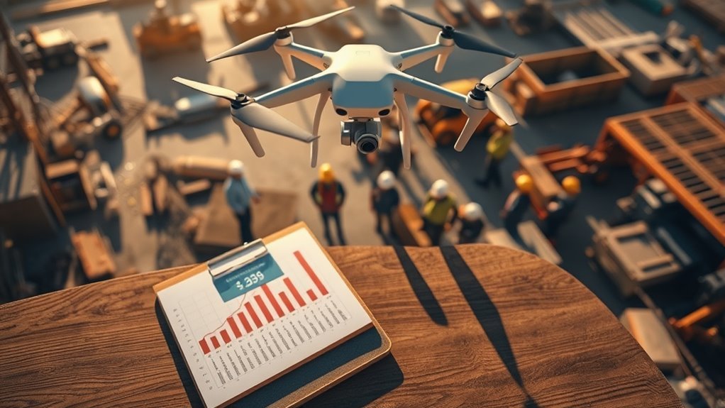
Professional drone services typically range from $150 to $1,000 per hour, influenced by factors like project complexity, location, and required regulatory compliance. For instance, aerial photography may cost between $150 and $500, while surveying and mapping can range from $200 to $1,000 per hour. Additional fees may arise from insurance and specialized equipment. Understanding these pricing variables is essential for making informed decisions, and you’ll find further insights on this topic as you explore more.
Factors Influencing Drone Service Costs
When considering the cost of professional drone services, several key factors come into play that can greatly affect pricing. One major element is compliance with regulatory requirements. Depending on your location, you might need permits or licenses, which can add to the overall cost. Additionally, the complexity of the project influences pricing; more intricate jobs may necessitate specialized equipment or skilled operators, driving expenses higher.
Insurance coverage is another critical factor. Providers typically require extensive liability insurance to shield against potential accidents or damages. This necessity not only protects you but also impacts the service’s cost. Furthermore, the use of AI-driven solutions in drone operations can enhance efficiency and safety, potentially affecting overall pricing. For instance, services that employ advanced routing algorithms may reduce operational costs and improve delivery times, making them more competitive. By understanding these factors, you can make more informed decisions, ensuring you get the best value while adhering to legal and safety standards.
Types of Professional Drone Services
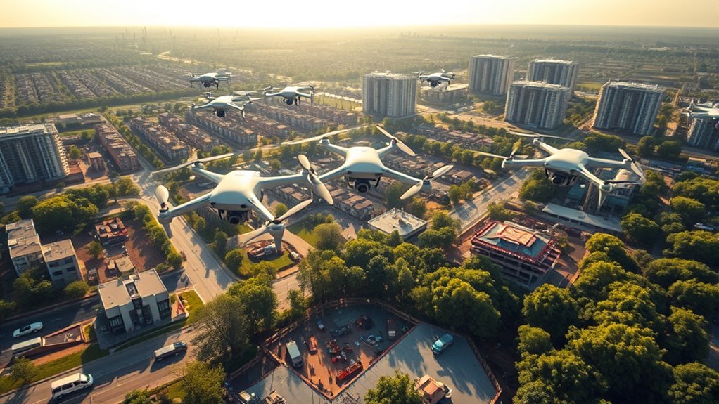
As you explore the landscape of professional drone services, you’ll find a diverse array of applications tailored to various industries. These drone service applications include aerial photography, surveying, mapping, and inspection. In real estate, drones capture stunning visuals that enhance property listings, while in construction, they provide site surveys and progress tracking. Agriculture benefits from crop monitoring and analysis, optimizing yields through precise data collection, including the use of real-time data collection that allows for immediate insights into crop health. In the energy sector, drones conduct inspections of power lines and wind turbines, improving safety and efficiency. Additionally, entertainment and events utilize drones for stunning aerial shots and live broadcasts. Each of these industry-specific uses highlights the versatility and growing demand for drone services across multiple sectors, reflecting a shift towards more innovative solutions. The integration of AI solutions fosters enterprise agility and adaptive business strategies.
Average Pricing for Aerial Photography
Aerial photography represents one of the most sought-after applications of drone services, particularly in industries like real estate and marketing. When considering average pricing, you’ll typically find costs ranging from $150 to $500 per hour, depending on factors like location and complexity. Advanced aerial photography techniques, such as HDR imaging and 360-degree views, may increase your expenses. Additionally, drone photography trends show a growing demand for high-resolution imagery and video, which can also influence pricing. Packages often include post-editing services, further impacting the overall cost. Understanding these elements will help you determine the best fit for your project while ensuring you capture stunning visuals that resonate with your audience. The image quality provided by professional drones plays a crucial role in delivering the desired results. Many professional drones, like the Snaptain P30, feature 2.7K HD camera capabilities, which significantly enhance the clarity and detail of aerial shots.
Surveying and Mapping Costs
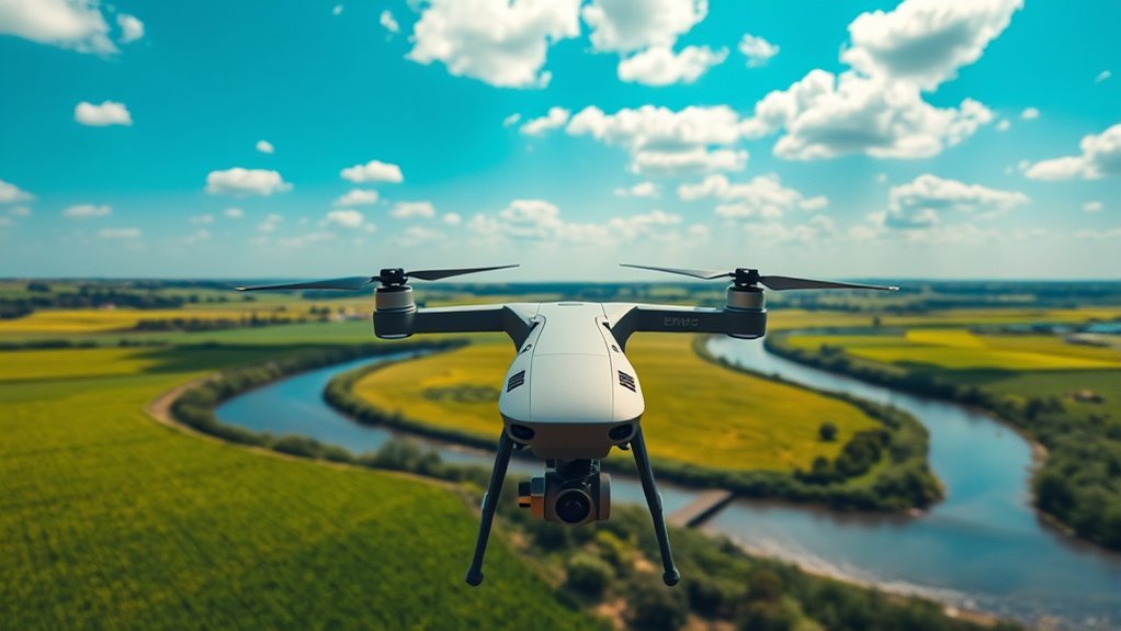
Surveying and mapping services using drones can range from $200 to $1,000 per hour, depending on the project’s scope and complexity. With drone technology revolutionizing the industry, you can expect superior aerial accuracy for various applications. Here’s a quick breakdown of cost factors:
- Project Size: Larger areas require more time and resources.
- Data Resolution: Higher resolution captures demand advanced equipment and processing. Drones equipped with advanced sensor technology can significantly enhance data quality and precision.
- Terrain Type: Challenging landscapes may increase costs due to additional planning and flight time.
- Post-Processing Needs: More extensive data analysis and reporting can raise the price.
Understanding these factors helps you make informed decisions about your surveying and mapping needs, ensuring you get the best value for your investment. Additionally, the integration of advanced sensors and AI in drone technology enhances mapping precision, which can impact overall project costs and efficiency.
Inspection Services Pricing
When considering inspection services pricing, you’ll need to account for several key factors that influence overall costs. These can include the complexity of the inspection, the type of drone technology used, and the specific industry requirements. Typically, service rates vary widely, reflecting these variables and the expertise of the operators involved.
Factors Affecting Pricing
While various elements influence the pricing of inspection services using drones, understanding these factors can help you make informed decisions. Here are four key factors to evaluate:
- Regulatory Compliance: Compliance with local and federal regulations can impact costs, as specialized licenses may be required.
- Service Customization: Tailoring services to meet your specific needs can increase complexity and pricing.
- Equipment Quality: Higher-end drones with advanced sensors and cameras typically require higher investment.
- Project Scope: The size and complexity of the inspection area affect the time and resources needed, influencing the overall cost.
Typical Service Rates
Understanding the factors that affect pricing can provide a clearer picture of what to expect when seeking inspection services with drones. Typical service rates for drone inspections vary widely, often ranging from $150 to $500 per hour. These rates depend on factors like project complexity, location, and the technology used. You’ll notice emerging drone service trends, such as the increasing use of thermal imaging and 3D mapping, which can influence costs. Providers often offer service package options, enabling you to choose a thorough solution that fits your needs. By evaluating these elements, you can make informed decisions and find the best value for your inspection projects, ensuring you harness the full potential of drone technology without unnecessary expenses.
Geographic Location Impact on Pricing
As drone services become increasingly essential across various industries, the geographic location where these services are deployed greatly influences their pricing. The disparities between urban and rural areas, as well as regional demand, can greatly affect costs. Here are some factors to take into account:
- Urban Areas: Higher demand often leads to increased competition, driving prices down. Additionally, urban areas may benefit from automated compliance systems, which can streamline operations and reduce costs.
- Rural Areas: Limited service providers may increase costs due to travel and operational challenges.
- Local Regulations: Each region may have different rules that could influence service availability and pricing.
- Infrastructure: Areas with advanced infrastructure might attract more services, affecting pricing dynamics. Additionally, the choice of drone technology, such as those used for high-performance light shows, can also impact overall service costs.
Understanding these geographic influences can help you navigate the costs of professional drone services more effectively.
Equipment and Technology Considerations
When considering professional drone services, the choice of equipment and technology plays a significant role in determining overall costs and service quality. High-end drone technology, including advanced sensors and cameras, can greatly enhance data quality but also increase service pricing. You’ll need to assess what features align with your project needs. Additionally, equipment maintenance is an important aspect; drones require regular checks and repairs to guarantee peak performance. Poorly maintained drones can lead to failures and additional costs. As a result, investing in reliable drone technology and understanding maintenance requirements is fundamental for achieving the best results while managing expenses. By weighing these factors, you can make informed decisions that suit your project’s goals and budget. Furthermore, selecting drones with advanced camera capabilities ensures high-quality visual content, which can be crucial for many professional applications. Notably, drones like the DJI Air 3S, which features a 1-inch CMOS sensor, can significantly improve image quality for demanding projects.
Experience and Expertise of the Service Provider
The experience and expertise of the service provider can considerably impact the quality and reliability of drone services. When selecting a provider, you should evaluate their expert qualifications and service reputation. Here are four key factors to take into account:
- Certifications: Check for relevant drone operation certifications which guarantee compliance with regulations. Additionally, ensure that they have experience with drones that offer precision navigation to enhance operational efficiency.
- Portfolio: Review their past projects to gauge the variety and complexity of services they’ve successfully delivered.
- Client Testimonials: Seek feedback from previous clients to understand their satisfaction and the provider’s problem-solving capabilities.
- Industry Experience: Assess how long they’ve been in the drone service industry, as seasoned professionals often deliver superior results. Additionally, brands with strong market positioning tend to have a proven track record that instills greater consumer confidence.
Additional Fees and Charges to Consider
While selecting a professional drone service provider, it’s vital to take into account not just the base cost but also the additional fees and charges that may arise during the project. For instance, you may need additional insurance to cover specific risks associated with your project, which can greatly impact your overall expenses. Additionally, if the service provider needs to travel to your location, travel expenses could add up, especially for remote sites. It’s important to clarify these potential costs upfront to avoid unexpected surprises later. By understanding these additional fees, you can budget more effectively and guarantee that you’re getting the services you need without compromising your financial freedom. Always request a detailed breakdown before committing. Furthermore, be aware that drone operations are governed by federal regulations which may also influence service costs and requirements. For example, services like crop geofencing can involve added complexities that may affect pricing based on the technology used.
Long-Term Value of Investing in Drone Services
Investing in drone services can yield significant long-term benefits, especially as businesses increasingly adopt advanced technology to enhance efficiency and reduce costs. Here’s how you can realize long-term savings and investment benefits:
- Improved Efficiency: Drones automate tasks, reducing time and labor costs.
- Enhanced Data Accuracy: High-resolution aerial data leads to better decision-making, minimizing costly errors.
- Expanded Reach: Drones provide access to hard-to-reach areas, opening up new opportunities without additional investment.
- Reduced Operational Costs: Lower fuel and maintenance expenses compared to traditional methods mean more savings over time.
Frequently Asked Questions
What Industries Commonly Use Professional Drone Services?
You’ll find professional drone services widely utilized in real estate, construction monitoring, agriculture management, aerial photography, environmental surveying, and infrastructure inspection. These industries leverage drones for efficiency, accuracy, and enhanced data collection, driving innovation and freedom.
How Can I Find Reputable Drone Service Providers?
To find reputable drone service providers, research online platforms featuring service reviews. Evaluate their expertise in drone technology, and compare testimonials. Networking within your industry can also yield trusted recommendations, ensuring quality and reliability in services.
Are There Licensing Requirements for Drone Operators?
Maneuvering the skies like Icarus requires caution; drone certification and operator training are essential. You’ll need to comply with FAA regulations, ensuring safety and legality while enjoying the freedom that drone operation offers.
Can Drone Services Assist With Event Coverage?
Yes, drone services can greatly enhance event coverage. They provide unique aerial footage, capturing your event’s essence from stunning perspectives. Additionally, professional drone operators guarantee high-quality event photography, adding value to your memories and experiences.
What Insurance Options Are Available for Drone Services?
When considering insurance options for drone services, you’ll find various insurance types like liability coverage, which protects against damages. Understanding these options guarantees you’re prepared for any unforeseen incidents during your operations, promoting a sense of freedom.
