
If you lose your drone, start by accessing its last known GPS location through the flight app or controller software to narrow your search area. Use your controller’s signal strength features to track its approximate position. Review flight logs for clues on altitude and battery status. Systematically search the immediate area with grid patterns, checking trees and bushes. Consider using drone finder devices or contacting local authorities. Following these steps methodically boosts your chances of recovery. Additional strategies can help refine your approach.
Check the Drone’s Last Known GPS Location
Anyone who’s lost a drone knows how crucial it is to start with the last known GPS location. You must access the drone’s location history through your flight app or controller software, pinpointing the coordinates where signal strength was last reliable. GPS accuracy varies, so focus on a precise radius around this point rather than a single spot. Cross-reference timestamps in the location history to understand the drone’s trajectory before loss. By methodically mapping these data points, you narrow your search zone effectively, conserving time and energy. This disciplined approach respects your need for freedom by enabling you to reclaim control over the drone’s whereabouts quickly, turning GPS data into actionable intelligence rather than random guesswork.
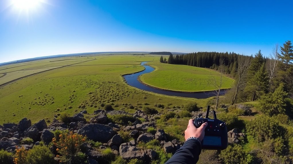
Use the Drone Controller’s Signal Range Features
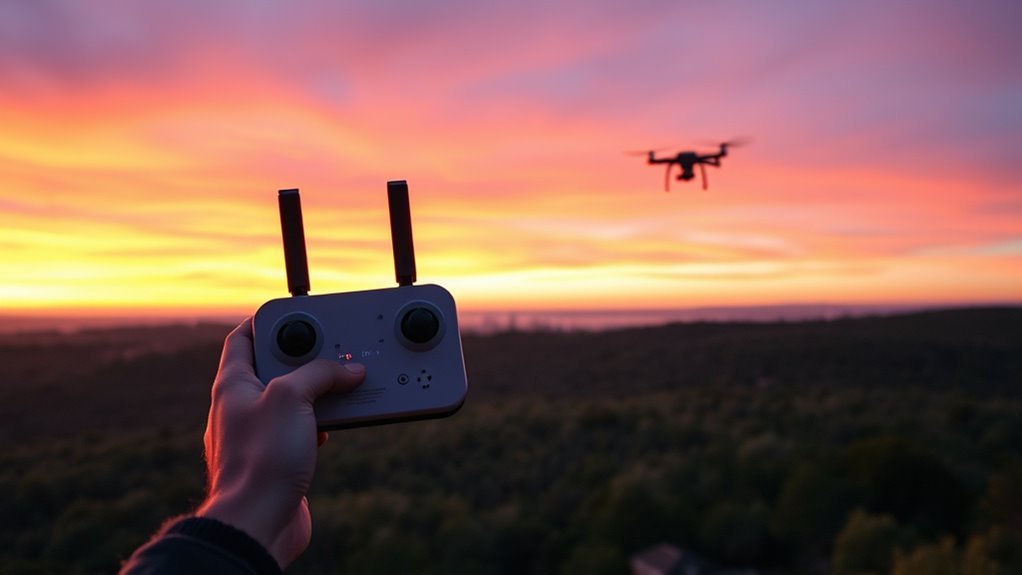
Two critical signal range features on your drone controller can greatly aid in locating a lost drone: signal strength indicators and automatic return-to-home triggers. First, monitor the signal strength closely through your controller settings; a weakening signal suggests your drone is moving beyond effective range, guiding your search direction. Adjust controller settings beforehand to maximize transmission power and set alert thresholds for signal loss. Second, verify the automatic return-to-home function is enabled in the controller settings—this feature commands your drone to fly back to its takeoff point if the signal drops below a critical level. By leveraging these signal range features systematically, you maintain control awareness and can methodically track your drone’s approximate position, enhancing the likelihood of recovery while preserving your freedom to explore.
Review the Flight Log for Clues
After using signal range features to narrow down your drone’s location, the next step involves analyzing the flight log. Flight log analysis provides precise data points like GPS coordinates, altitude, speed, and battery status throughout the flight. By systematically reviewing these details, you can reconstruct your drone’s last known path and identify where it lost connection or power. This methodical approach enhances your recovery strategies, enabling you to focus your search efforts on specific areas rather than guesswork. Access the flight logs through your drone’s app or software, export the data if possible, and examine timestamps correlated with positional data. Employing flight log analysis is essential—it transforms raw data into actionable intelligence, maximizing the chances of reclaiming your drone and preserving your freedom to explore.
Search the Immediate Area Systematically
While the flight log provides valuable insights, you’ll need to physically search the immediate area methodically to locate your drone. Start by defining a clear perimeter based on your last known coordinates. Employ search techniques such as grid or spiral patterns to guarantee no area is overlooked. Move steadily, scanning both the ground and surrounding vegetation or structures where the drone might be lodged. Use landmarks to maintain orientation and systematically cover the terrain. Document each section’s completion to avoid duplication or gaps. This systematic approach maximizes efficiency and minimizes wasted effort, essential for timely recovery. By combining precision with methodical progression, you maintain control over the search process, increasing your chances of finding your drone quickly and reclaiming your freedom to explore.
Use a Smartphone App to Track Your Drone
You’ll want to select a smartphone app compatible with your drone model that offers reliable real-time location tracking. Make certain the app provides accurate GPS coordinates and updates frequently to minimize search time. Using the app methodically can pinpoint your drone’s position and improve retrieval efficiency.
Choosing the Right App
Although many apps claim to help track lost drones, selecting one that reliably connects with your drone’s GPS and offers real-time location updates is essential. To guarantee you regain control swiftly, evaluate apps based on these criteria:
- App Features: Look for seamless GPS integration, customizable alerts, and offline map access to maintain tracking freedom regardless of connectivity.
- User Reviews: Analyze feedback for consistent performance reports and prompt developer support, ensuring the app’s reliability in critical moments.
- Compatibility: Verify the app supports your drone model and your smartphone’s operating system to prevent connectivity issues.
Real-Time Location Tracking
Three critical steps enable effective real-time location tracking of your drone using a smartphone app: establishing a stable GPS connection, ensuring continuous data transmission, and interpreting the app’s interface to pinpoint your drone’s position accurately. First, confirm your drone’s GPS technology is activated and calibrated; this provides precise latitude and longitude data essential for tracking. Next, verify uninterrupted communication between your drone and smartphone, typically via Wi-Fi or cellular networks, to maintain real time tracking updates. Finally, familiarize yourself with the app’s display—understand map overlays, signal strength indicators, and coordinate readouts—to quickly locate your drone in diverse environments. Mastering these steps grants you the freedom to retrieve your drone confidently, minimizing downtime and maximizing control during unexpected losses.
Employ a Buddy System for a Wider Search
When searching for a lost drone, employing a buddy system greatly expands the area you can cover efficiently. Coordinating with a friend allows you to implement effective search strategies that maximize your chances of recovery. Begin by dividing the search zone into specific sectors to avoid overlap. Establish clear communication methods to update each other on findings instantly. Use these steps for ideal buddy coordination:
Using a buddy system doubles your search area and boosts your chances of quickly finding a lost drone.
- Assign each person a distinct sector based on terrain and drone last known location.
- Synchronize timing and routes to methodically sweep the area.
- Share GPS waypoints and maintain visual or radio contact to enhance coverage.
This methodical approach harnesses teamwork, empowering you both to reclaim your freedom and quickly locate your lost drone.
Look for Visible Signs in Nearby Trees and Bushes
Since drones often get caught in nearby trees or bushes during a crash or loss of control, you should carefully inspect these areas for visible signs. Start by evaluating the bush density; dense foliage can obscure your drone, so systematically scan each section. Focus on tree branches that appear broken, bent, or disturbed, as these often indicate the drone’s point of contact. Use a flashlight or drone’s onboard lights if available, to enhance visibility in shaded or dark areas. Move methodically, covering all likely impact zones without rushing. Keep in mind that drones may be lodged in higher branches or hidden within thick bush clusters, so patience and thorough examination are essential. This precise approach maximizes your chances of locating your drone and recovering your freedom to fly.
Contact Local Authorities or Lost and Found Groups
Where should you turn if your initial search doesn’t locate your drone? You need to contact local authorities and specialized lost and found groups promptly. These entities maintain records of recovered property and can assist in tracking your device.
If your drone goes missing, promptly contact local authorities and lost and found groups for assistance.
- Local Police Departments: Report your lost drone with specific details—model, serial number, last known location—to enable official recovery efforts.
- Community Lost and Found Groups: Online platforms or neighborhood organizations often have members who report found drones or related items.
- Municipal Offices or Parks Departments: If you lost your drone in public areas, these offices might hold or receive reports of found drones.
Utilize a Drone Finder Device or Radar
If reaching out to authorities and lost and found groups hasn’t yielded results, employing a drone finder device or radar can greatly improve your chances of locating your lost drone. These tools leverage advanced drone technology to detect your drone’s unique radio frequency or GPS signal. By methodically scanning the area, the device measures signal strength variations, guiding you closer to the drone’s location. You’ll want to maintain a steady approach, continuously monitoring signal fluctuations to pinpoint the exact spot. Some radar systems integrate with your smartphone or controller, offering real-time feedback and directional cues. Utilizing this technology allows you to bypass guesswork, reclaiming control and freedom over your airspace. Investing time and precision here maximizes recovery potential while minimizing search effort.
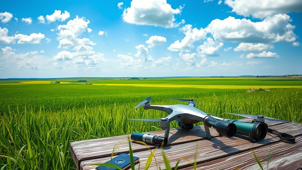
Prepare for Future Flights to Avoid Loss
Although recovering a lost drone is possible, the most effective strategy is prevention through thorough preparation before each flight. You should develop and strictly follow a pre flight checklist to guarantee every component functions correctly and GPS signals are strong. Implementing well-rehearsed emergency procedures allows you to react swiftly if control is compromised.
Prevention is key: prepare thoroughly and rehearse emergency steps before every drone flight.
- Verify battery levels, GPS calibration, and firmware updates.
- Confirm clear communication between the drone and remote controller.
- Plan your flight path, including safe return-to-home coordinates.
This methodical approach minimizes risk and maximizes your freedom to explore confidently. Preparing meticulously means you’re not just flying; you’re controlling your journey, reducing the chance of loss and enhancing your command of the skies.
