
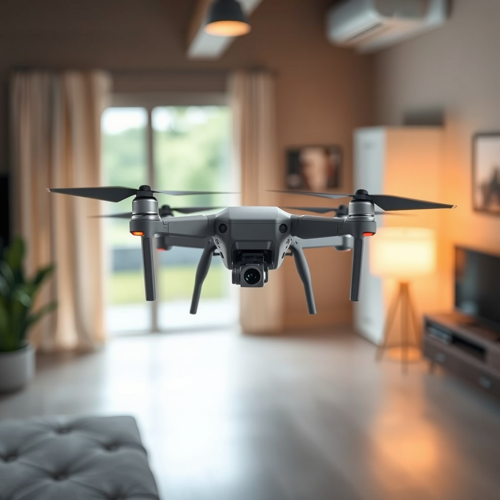
To track a drone, you can utilize GPS tracking systems, smartphone apps, and visual observation techniques. Each method offers unique advantages, allowing you to monitor drone activity effectively. As drones become increasingly prevalent in various sectors, understanding how to track them is essential for safety, compliance, and situational awareness. This article delves into effective methods for tracking drones, providing actionable insights and important considerations.
Understanding Drone Tracking Technology
GPS Tracking
Many modern drones are equipped with Global Positioning System (GPS) technology, which allows for real-time tracking of their location. GPS tracking provides precise geographical coordinates, enabling users to monitor a drone’s movements with remarkable accuracy. For instance, commercial drones designed for delivery services often feature integrated GPS systems, allowing operators to keep track of packages in transit. Users can access this information through proprietary software or apps provided by the drone manufacturer. Additionally, some third-party applications can integrate with the drone’s GPS data, offering enhanced tracking capabilities.
Telemetry Data
In addition to GPS, many drones transmit telemetry data back to their controllers. This includes real-time information such as altitude, speed, battery status, and location. Telemetry is particularly beneficial for professional drone operators involved in activities like aerial photography or surveying, as it provides crucial insights into the drone’s performance. By tapping into telemetry data, users can not only track the drone’s position but also ensure that it operates safely and efficiently during flight.
Using Smartphone Apps for Tracking
App Recommendations
With the rise of drone usage, several smartphone applications have been developed to assist in tracking drone activity. Popular apps like DroneMate and AirMap are widely recognized for their effectiveness. DroneMate provides users with a user-friendly interface to view nearby drone flights, while AirMap includes a comprehensive airspace management tool that helps drone operators comply with regulations. These apps often utilize data from various sources, including FAA regulations and real-time flight information, to give users accurate insights into drone activities.
Real-Time Updates
One of the standout features of these applications is their ability to deliver real-time updates on drone flights and locations. Users can receive notifications about nearby drones, track flight paths, and even analyze airspace restrictions. This functionality is essential for ensuring safety, especially in crowded environments or areas with strict flying regulations. By leveraging these smartphone apps, both drone operators and enthusiasts can maintain an informed perspective on the drone landscape around them.
Visual Observation Techniques
Line of Sight
A fundamental practice in drone tracking is maintaining a clear line of sight with the drone. This method is not only crucial for compliance with many local regulations but also enhances the user’s ability to track the drone manually. By visually following the drone, users can observe changes in altitude, direction, and speed. This technique is particularly useful in situations where technology may fail or the drone operates beyond the range of GPS signals.
Identifying Patterns
Experienced drone observers often develop the ability to identify flight patterns that can aid in predicting a drone’s next move. For example, if a drone consistently follows a specific route during its flights, it may be possible to anticipate its future locations. This skill can be beneficial in both recreational and professional contexts, as it allows users to plan accordingly and avoid potential conflicts with the drone’s path.
Legal and Ethical Considerations
Regulations
As drone activity increases, so do the regulations governing their use. It’s vital for anyone tracking a drone to familiarize themselves with local laws and guidelines. In many countries, drone operations are subject to specific regulations regarding privacy, airspace, and safety. For instance, the Federal Aviation Administration (FAA) in the United States mandates that drones must remain within visual line-of-sight of the operator. Understanding these regulations can help ensure compliance and avoid legal issues.
Privacy Issues
Respecting the privacy of drone operators is another critical consideration when tracking drones. Intrusive tracking methods that violate privacy can lead to legal repercussions and ethical dilemmas. It is essential to strike a balance between the need for monitoring drone activity and the rights of individuals operating drones. Engaging with drone operators and understanding their intentions can foster a cooperative environment while respecting personal privacy.
Tools and Equipment for Tracking Drones
Tracking Devices
For those who require more advanced tracking capabilities, specialized tracking devices can be attached to drones. These devices can provide enhanced tracking functionality, often utilizing GPS or radio frequency signals to communicate with the operator. For instance, a lightweight GPS tracker can be affixed to a drone to ensure that even if it goes out of sight, the operator can still monitor its location through a dedicated app or device. This level of tracking is particularly useful for commercial operators or individuals flying in challenging environments.
Signal Detectors
Another effective tool for drone tracking is the use of signal detectors. These devices can pick up radio signals emitted by drones, thereby assisting in locating them. Signal detectors can be particularly useful in areas where visual tracking is challenging or when drones are operating at high altitudes. By utilizing signal detection technology, users can effectively locate and monitor drone activity, enhancing their situational awareness and safety.
Safety Tips While Tracking Drones
Stay Safe
While tracking a drone, maintaining a safe distance is paramount. Drones can pose risks, especially if they malfunction or operate inappropriately. Keeping a safe distance allows observers to avoid potential accidents while still effectively monitoring the drone’s movements. It is essential to remain vigilant and aware of the surroundings to mitigate risks associated with drone tracking.
Avoid Distractions
Distractions can significantly hinder the ability to track a drone effectively. Whether it’s the presence of other people, environmental factors, or mobile device notifications, staying focused is crucial. By minimizing distractions, users can better observe the drone’s activities and respond promptly to any changes in its flight path. This focused attention is vital for both safety and effective tracking.
In conclusion, tracking a drone requires a blend of technology, observation skills, and a good understanding of legal boundaries. Utilizing GPS tracking systems, smartphone apps, and visual observation techniques allows for comprehensive monitoring of drone activity. However, it is equally important to consider the legal and ethical implications while using specialized tools for tracking. By employing the right methods and maintaining safety protocols, you can effectively navigate the growing world of drone tracking, ensuring both compliance and situational awareness. Stay informed, respect privacy, and enjoy the fascinating journey into drone tracking!
Frequently Asked Questions
What are the best methods to track a drone in real-time?
The best methods to track a drone in real-time include using GPS tracking, radio frequency identification (RFID) systems, and smartphone applications designed for drone enthusiasts. GPS tracking devices can be attached to the drone for precise location data, while RFID can help identify the drone within a specific area. Additionally, many drones come equipped with built-in GPS tracking systems, which can be accessed through companion apps, allowing users to monitor their drone’s flight path and location in real-time.
How can I track a lost drone effectively?
To effectively track a lost drone, first ensure it has a GPS module installed, as this will provide the most accurate location data. Use the associated smartphone app to locate the drone, as many modern drones have a “Find My Drone” feature that will help you pinpoint its last known location. If the drone has fallen out of range, consider retracing its flight path and using the last recorded GPS coordinates to search the area. For added future security, consider investing in a dedicated drone tracking device.
Why is it important to track a drone during flights?
Tracking a drone during flights is crucial for safety, compliance, and operational efficiency. It helps drone operators avoid no-fly zones, maintain visual line-of-sight with the drone, and minimize the risk of collisions with other aircraft. Additionally, tracking can provide valuable data for flight logs, enabling operators to analyze performance and adjust their flight plans to improve safety and operational effectiveness.
Which apps are the best for drone tracking and management?
Some of the best apps for drone tracking and management include DJI GO 4, AirMap, and DroneLogbook. DJI GO 4 is particularly user-friendly for DJI drone users, offering real-time tracking and flight logs. AirMap provides real-time airspace information and tracking features, making it ideal for compliance with regulations. DroneLogbook allows users to track multiple drones, log flights, and generate reports, making it a great all-in-one tool for serious drone operators.
What should I do if my drone does not have built-in tracking capabilities?
If your drone does not have built-in tracking capabilities, you can enhance its tracking potential by attaching an external GPS tracker designed for drones. Many lightweight GPS trackers are available on the market, which can be easily mounted on your drone without interfering with its flight. Additionally, consider using smartphone tracking apps that leverage the drone’s flight data and telemetry, or invest in a drone tracking system that utilizes radio frequency technology to help locate your drone even when it is out of sight.
References
- https://en.wikipedia.org/wiki/Drone
- https://www.faa.gov/uas/getting_started/remote_id
- https://www.ncbi.nlm.nih.gov/pmc/articles/PMC7324558/
- https://www.bbc.com/news/technology-48047457
- https://www.reuters.com/technology/drone-tracking-is-the-future-safety-says-expert-2021-10-11/
- https://www.theguardian.com/us-news/2021/nov/10/drones-surveillance-tracking-privacy
- https://www.nist.gov/news-events/news/2021/09/nist-research-tracking-drones-using-multiple-sensors
- https://www.itu.int/en/ITU-T/focusgroups/Drone/Pages/default.aspx
