
To track drone operators effectively, start by understanding drone types, control systems, and regulations. Observe visual signs like drone flight patterns and operator behavior closely. Use RF detection tools—spectrum analyzers and direction finders—to pinpoint control signals. Employ identification apps linked to ADS-B or Remote ID data for real-time drone location info. Always align your tracking efforts with legal and safety guidelines to avoid risks. Following these methods lays the groundwork for more advanced strategies ahead.
Understanding the Basics of Drone Operation
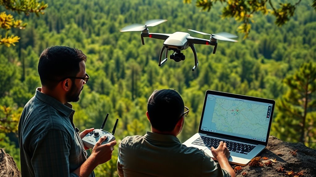
Before you can effectively track drone operators, you need to understand how drones function and are controlled. Drones vary widely in types—from small quadcopters to larger fixed-wing models—each with distinct flight capabilities and control mechanisms. Control typically involves radio frequency signals or GPS-based navigation systems, allowing operators to pilot drones remotely. Familiarize yourself with regulatory requirements, as these dictate permissible drone weights, flight altitudes, and no-fly zones, all essential for identifying unauthorized operations. Knowing the technical parameters, such as communication frequencies and onboard sensors, helps you anticipate operator behavior and limitations. By mastering these foundational elements, you gain the precision necessary to track drone activity without infringing on lawful freedoms, balancing vigilance with respect for personal liberty in the evolving aerial landscape.
Observing Physical and Visual Indicators
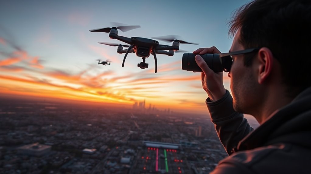
When tracking drone operators, you’ll rely heavily on identifying physical and visual indicators that reveal drone presence and operator activity. Paying close attention to visual cues and operator behavior will guide your observations. Watch for individuals holding controllers, scanning skies, or adjusting antennas. Notice drones hovering or moving steadily. Subtle signs, like shadows or reflections, can also hint at drone activity.
| Indicator Type | Examples |
|---|---|
| Visual Cues | Drones in flight, shadows, lights |
| Operator Behavior | Controller handling, gaze direction |
| Environmental Signs | Disturbed foliage, sound patterns |
Utilizing Radio Frequency and Signal Detection Tools
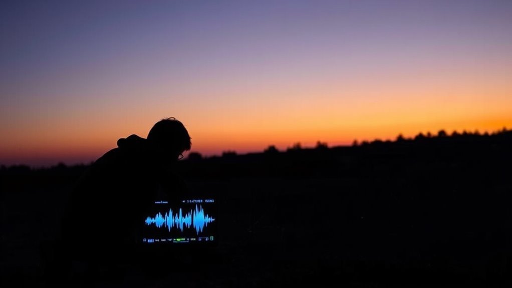
Three primary types of radio frequency (RF) and signal detection tools are essential for accurately locating drone operators: spectrum analyzers, RF scanners, and direction finders. Mastering radio frequency and signal analysis allows you to identify control signals and pinpoint their source with precision. Here’s how each tool aids your efforts:
- Spectrum Analyzers: Visualize the RF environment, detecting frequency bands where drones operate.
- RF Scanners: Continuously monitor and isolate active drone communication signals.
- Direction Finders: Determine the signal’s bearing, helping you triangulate the operator’s position.
Using Drone Identification and Tracking Apps
Several drone identification and tracking apps are designed to help you monitor drone activity in real time by leveraging data from Automatic Dependent Surveillance-Broadcast (ADS-B) systems, remote ID broadcasts, and community-shared sightings. These apps integrate multiple drone identification methods, including triangulation of signal sources and cross-referencing flight logs. Key tracking app features often include live maps displaying drone positions, altitude, speed, and operator details when available. You can customize alerts for unauthorized drones entering restricted zones, enhancing situational awareness. To maximize accuracy, verify the app supports multiple data streams and update it regularly. By methodically using these tools, you gain thorough insight into drone operations nearby, empowering your freedom to monitor airspace without reliance on external authorities. This approach balances technical precision with user autonomy effectively.
Taking Legal and Safety Actions
After identifying and tracking drone operators using specialized apps, the next step involves taking appropriate legal and safety measures to address unauthorized or hazardous drone activity. You need to navigate legal considerations carefully, guaranteeing your actions comply with local laws while protecting your rights. Prioritize safety regulations to prevent risks to people and property.
Focus on these key actions:
- Report unlawful drone operations to relevant authorities, providing detailed evidence.
- Understand and follow regional safety regulations, including no-fly zones and altitude limits.
- Consult legal counsel if pursuing formal complaints or civil actions to verify your measures are sound.
