
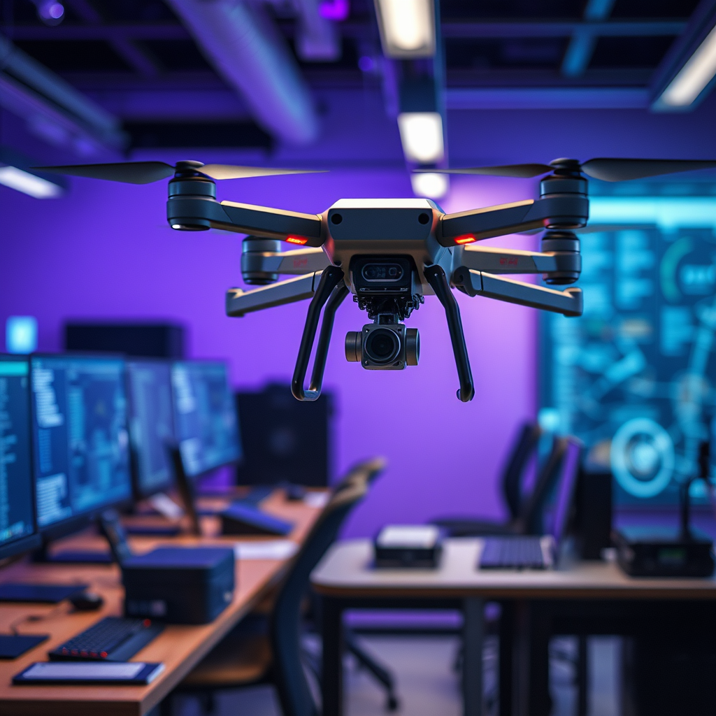
Machine vision plays a crucial role in enhancing drone automation by enabling precise navigation, obstacle detection, and real-time data analysis. This technology empowers drones to operate independently, making them invaluable in various industries such as agriculture, surveillance, and logistics. By integrating advanced camera systems, sensors, and sophisticated algorithms, machine vision allows drones to perceive their environments and make informed decisions on the fly. In this article, we’ll explore how machine vision technology is integrated into drone systems and its significance in automating their operations.
Understanding Machine Vision Technology

Machine vision can be defined as the technology that allows machines to interpret and understand visual data from their environment. It consists of several components, including high-resolution cameras, specialized sensors, and complex algorithms that process the captured images. The cameras and sensors work in tandem to collect data, while the algorithms analyze this data to extract meaningful information. In the context of drone applications, image processing and analysis are vital for tasks such as object recognition, scene understanding, and data classification. For instance, a drone equipped with machine vision can identify and differentiate between various crops in a field, enabling accurate assessments of crop health and resource allocation.
The importance of image processing cannot be overstated, as it enhances a drone’s ability to perform tasks autonomously and efficiently. By processing visual data in real-time, drones can adapt to changing conditions and make critical decisions, such as avoiding obstacles or adjusting flight paths based on environmental feedback.
Applications of Machine Vision in Drones

The applications of machine vision in drones are vast and diverse, with significant implications for various industries. In agriculture, drones equipped with machine vision technology are revolutionizing crop monitoring and health assessments. Farmers can use these drones to capture high-resolution images of their fields, allowing them to analyze crop growth patterns, detect diseases early, and optimize irrigation and fertilization strategies. For example, a study by the University of California found that drones using machine vision could detect crop stress before it became visible to the naked eye, allowing farmers to take preventative measures and improve yield.
In the realm of surveillance and security, machine vision enhances drones’ capabilities for real-time threat detection. Drones can autonomously patrol designated areas, identifying unusual activities and alerting security personnel. For instance, the use of drones in monitoring large public events helps law enforcement agencies detect potential threats swiftly, ensuring public safety. With advanced facial recognition and anomaly detection algorithms, these drones can analyze crowds and pinpoint suspicious behavior, facilitating proactive security measures.
Enhancing Navigation and Autonomy
One of the most significant advantages of integrating machine vision into drone technology is the enhancement of navigation and autonomy. Machine vision allows drones to navigate complex environments by providing them with a comprehensive understanding of their surroundings. Through the use of stereo vision, drones can gauge distances and create 3D maps of the terrain, enabling them to fly safely in cluttered or dynamic environments, such as urban areas or dense forests.
Computer vision plays a critical role in enabling autonomous flight paths. By analyzing visual data, drones can make informed decisions about their routes, avoiding obstacles and optimizing their flight paths for efficiency. This capability is particularly beneficial in applications like delivery services, where drones must navigate complex urban landscapes to reach their destinations. Companies like Amazon and Zipline are already experimenting with machine vision technologies to enhance the autonomy of their delivery drones, demonstrating the potential for significant improvements in logistics and supply chain management.
Obstacle Detection and Collision Avoidance
Real-time obstacle detection is another critical function of machine vision in drone automation. Drones equipped with advanced imaging systems can identify obstacles in their flight paths, such as buildings, trees, or other aircraft, and take action to avoid collisions. Techniques used for real-time obstacle detection include the use of LiDAR sensors, computer vision algorithms, and depth sensing cameras. These technologies work together to create a detailed representation of the environment, allowing drones to navigate safely and efficiently.The importance of safety protocols in automated drone operations cannot be overstated. As drones become more autonomous, the need for robust collision avoidance systems becomes increasingly critical. Regulatory bodies, such as the Federal Aviation Administration (FAA), emphasize the need for safety measures to prevent accidents. Companies developing drones with machine vision capabilities must ensure their systems comply with these regulations while also providing reliable safety features to protect both the drones and their surroundings.
Data Collection and Processing
Machine vision plays a pivotal role in gathering and analyzing data for various applications across industries. Drones equipped with machine vision technology can collect a wealth of visual data, which can then be processed to inform decision-making. For example, in environmental monitoring, drones can capture images of land and water bodies to assess pollution levels or track changes in ecosystems over time. This data can be invaluable for researchers and policymakers in understanding environmental impacts and crafting effective conservation strategies.
Visual data enhances decision-making in industries like construction and infrastructure management as well. Drones can perform site inspections, capturing high-resolution images and videos that allow project managers to monitor progress and identify issues without the need for scaffolding or ladders. By analyzing this visual data, companies can make timely decisions regarding resource allocation, project timelines, and safety measures.
Challenges and Limitations
Despite the promising applications of machine vision in drones, several challenges and limitations remain. Current technological limitations include issues related to processing speed, data storage, and the accuracy of algorithms. Drones often have to process vast amounts of visual data in real-time, which can strain onboard systems and lead to delays in decision-making.
Environmental factors also pose challenges for machine vision systems. Variations in lighting conditions, weather, and terrain can affect the quality of the visual data captured by drones. For instance, low light conditions or heavy rain can impair the effectiveness of cameras and sensors, resulting in reduced performance. Addressing these challenges requires ongoing research and development to enhance the robustness of machine vision technologies in diverse environments.
Future Trends in Machine Vision for Drones
The future of machine vision in drones looks promising, with emerging technologies poised to enhance capabilities significantly. Advancements in artificial intelligence and machine learning are expected to improve the accuracy of image recognition and data analysis, enabling drones to make even more informed decisions. For example, deep learning algorithms could allow drones to recognize complex patterns in visual data, further improving their ability to navigate and perform tasks autonomously.
Additionally, the integration of technologies such as 5G connectivity will facilitate faster data transmission, enabling drones to process and share information in real-time more effectively. This connectivity will enhance collaborative efforts among drones, allowing them to work together to achieve complex tasks, such as mapping large areas or delivering packages to multiple locations simultaneously.
As these advancements continue to unfold, we can predict a future where drones equipped with sophisticated machine vision capabilities become an integral part of various industries, transforming processes and improving efficiency in ways we have yet to imagine.
The integration of machine vision into drone technology significantly enhances their functionality and efficiency across various sectors. As advancements continue, we can expect even more innovative applications that will revolutionize how we utilize drones for automation. If you’re interested in exploring how machine vision can benefit your operations, consider researching the latest drone technologies or connecting with industry experts. The potential for machine vision in drones is vast, and staying informed will be essential for leveraging these advancements effectively.
Frequently Asked Questions
What is machine vision and how does it enhance drone automation?
Machine vision refers to the technology that enables machines, including drones, to interpret and understand visual information from the world. By integrating advanced cameras and image processing algorithms, drones equipped with machine vision can perform tasks such as object detection, navigation, and obstacle avoidance autonomously. This enhances drone automation by allowing them to make real-time decisions based on visual data, significantly improving efficiency in industries like agriculture, construction, and surveillance.
How does machine vision improve the accuracy of drone inspections?
Machine vision significantly improves the accuracy of drone inspections by allowing for high-resolution imagery and precise analysis of structures or landscapes. With capabilities such as thermal imaging and 3D mapping, drones can identify anomalies, assess structural integrity, and monitor changes over time with unparalleled precision. This level of detail not only enhances safety by reducing the need for manual inspections in hazardous environments but also promotes proactive maintenance strategies.
Why is machine vision critical for autonomous drone navigation?
Machine vision is critical for autonomous drone navigation because it provides the necessary visual feedback that enables drones to understand their environment. By processing images in real-time, drones can detect and avoid obstacles, recognize landing zones, and navigate complex terrains. This capability enhances the reliability of drone operations, especially in dynamic or unpredictable settings like urban landscapes or disaster zones, ultimately leading to safer and more efficient flights.
What are the best applications of machine vision in drone technology?
The best applications of machine vision in drone technology include agricultural monitoring, infrastructure inspection, and search and rescue operations. In agriculture, drones use machine vision to analyze crop health and optimize yield by identifying areas needing attention. For infrastructure inspection, drones can perform detailed assessments of bridges, pipelines, and buildings, reducing human risk. In search and rescue, machine vision enables drones to quickly locate missing persons or assess disaster-stricken areas, enhancing response times.
Which industries benefit the most from integrating machine vision into drone automation?
Industries that benefit the most from integrating machine vision into drone automation include agriculture, construction, mining, and logistics. In agriculture, farmers utilize machine vision-equipped drones for precision farming and crop monitoring. Construction and mining companies use drones for site surveys and progress tracking, while logistics firms implement them for inventory management and warehouse monitoring. These applications not only streamline operations but also lead to cost savings and improved safety across these sectors.
References
- Machine vision
- https://www.nasa.gov/feature/nasa-s-drone-technology-brings-new-vision-to-the-environment
- https://www.sciencedirect.com/science/article/abs/pii/S0921889017301387
- https://www.ijrr.org/index.php/ijrr/article/view/1819
- Frontiers | Re-association of Body Parts: Illusory Ownership of a Virtual Arm Associated With the…
- Thermal Imaging of Beach-Nesting Bird Habitat with Unmanned Aerial Vehicles: Considerations for R…
- https://www.aaai.org/ojs/index.php/aimagazine/article/view/2764
- https://www.nist.gov/news-events/news/2021/09/nist-aims-help-drone-technology-take-flight