

You’re using GPS drones—unmanned aerial vehicles equipped with satellite navigation and onboard sensors for precise positioning and autonomous flight control. They enhance navigation accuracy, enabling efficient route optimization, real-time obstacle avoidance, and stable data collection. These drones excel in agriculture, infrastructure inspection, environmental monitoring, and search and rescue by delivering reliable geospatial data. Their advanced components and algorithms guarantee superior mapping and tracking capabilities. Exploring their mechanisms reveals how they’re transforming complex industry tasks.
What Is a GPS Drone?
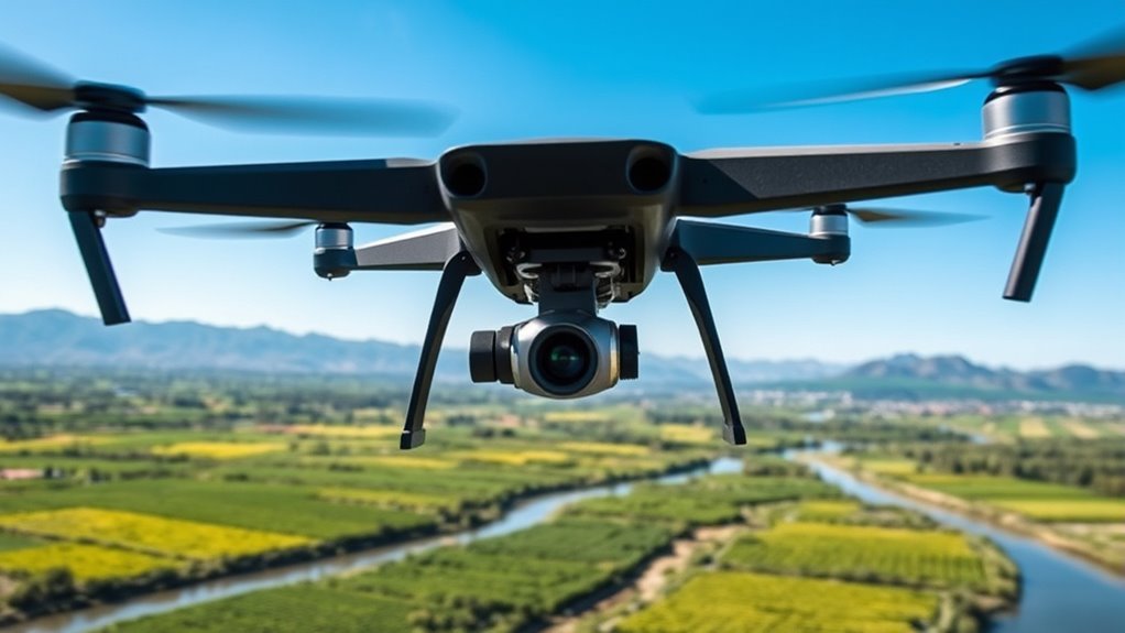
A GPS drone is an unmanned aerial vehicle equipped with a Global Positioning System receiver that enables precise navigation and positioning. You’ll find this integration of drone technology vital for tasks requiring exact location data, such as aerial mapping. The GPS component allows the drone to determine its coordinates accurately, facilitating automated flight paths and stable hovering without manual intervention. This precision gives you the freedom to conduct complex surveys or inspections over large areas efficiently. By relying on satellite signals, the drone maintains consistent spatial awareness, minimizing human error and enhancing data reliability. As you explore drone technology, understanding the role of GPS is essential for leveraging its full potential in applications demanding accuracy and autonomy.
How GPS Technology Enhances Drone Navigation
Building on the GPS drone’s ability to pinpoint its location, GPS technology considerably refines how these drones navigate through space. You get precise autonomous navigation that allows drones to operate independently, avoiding obstacles and adjusting flight paths dynamically. Route optimization algorithms leverage GPS data to chart the most efficient path, conserving energy and time. This technology grants you freedom from manual control while ensuring mission accuracy.
| Feature | Benefit | Impact on Navigation |
|---|---|---|
| Autonomous Navigation | Real-time obstacle avoidance | Increased safety |
| Route Optimization | Efficient path selection | Extended flight duration |
| GPS Precision | Accurate location tracking | Reliable mission execution |
Key Components of GPS Drones
To understand how GPS drones operate, you need to grasp the role of the GPS module, which acquires satellite signals to determine precise positioning. This data is then integrated into the drone’s navigation system, enabling accurate flight path control. Without this seamless integration, the drone wouldn’t maintain reliable spatial awareness or execute autonomous maneuvers effectively.
GPS Module Functions
Although you might not see it at first glance, the GPS module in a drone is essential for accurate positioning and navigation. You’ll find several GPS module types, each designed to optimize signal acquisition and processing under varying conditions. These modules continuously analyze satellite signals, employing advanced GPS signal processing algorithms to filter noise and improve positional accuracy. By interpreting time-stamped data from multiple satellites, the module calculates precise coordinates, enabling your drone to maintain stable flight paths or return home automatically. This level of precision isn’t just about location tracking—it grants you operational freedom, ensuring your drone performs reliably in complex environments. Understanding these core functions helps you appreciate how GPS modules underpin autonomous capabilities without external intervention.
Navigation System Integration
When you integrate a GPS module into a drone’s navigation system, several key components must work seamlessly to secure precise control and stability. The flight controller must efficiently process GPS data alongside inertial measurement unit (IMU) inputs, enabling accurate real-time positioning. Advanced mapping techniques leverage this integrated data to create reliable flight paths and autonomous navigation, empowering you with freedom in complex environments. However, signal interference from urban structures or atmospheric conditions can degrade GPS accuracy, so the system must include robust filtering algorithms and redundancy measures. You need to ascertain these components communicate flawlessly, minimizing latency and errors. Effective navigation system integration ultimately enhances your drone’s responsiveness and reliability, allowing you to execute precise maneuvers and achieve mission objectives with confidence in diverse operational scenarios.
Benefits of Using GPS Drones
When you use GPS drones, you gain enhanced navigation accuracy that guarantees precise positioning during flight. You’ll also notice improved flight stability, which allows for consistent performance even in challenging conditions. Additionally, GPS integration enables advanced data collection, providing detailed and reliable information for analysis.
Enhanced Navigation Accuracy
Since GPS technology provides real-time positional data with high precision, drones equipped with these systems can navigate complex environments more accurately than those relying solely on inertial sensors. This enhanced navigation accuracy translates into superior mapping precision and reliable location tracking, freeing you from concerns about positional errors. Whether you’re surveying rugged terrain or conducting detailed inspections, GPS drones enable confident maneuvering and data collection.
| Feature | Benefit |
|---|---|
| Real-time positioning | Instantaneous location data |
| High mapping precision | Detailed, accurate maps |
| Reliable location tracking | Consistent navigation |
| Complex environment navigation | Increased operational freedom |
| Reduced navigation errors | Enhanced mission success |
With this precision, you gain autonomy, ensuring every flight achieves its intended goals efficiently.
Improved Flight Stability
Although drones can maintain basic stability through onboard sensors alone, integrating GPS greatly enhances flight steadiness by providing precise positional feedback. This integration delivers critical stability enhancements that elevate your flight performance, especially in challenging environments. With GPS support, you can expect:
- Consistent Hovering: GPS allows your drone to maintain position accurately despite wind or minor disturbances.
- Automated Course Correction: Real-time location data enables immediate adjustments, preventing drift and improving control.
- Enhanced Return-to-Home Functionality: GPS guarantees your drone safely and precisely returns to its origin point without manual intervention.
Advanced Data Collection
Three key advantages of GPS-enabled drones considerably enhance your data collection capabilities. First, they allow for precise georeferencing, ensuring your mapping techniques yield accurate spatial data. Second, continuous real-time positioning refines data analysis, enabling you to detect subtle environmental changes. Third, autonomous flight paths maximize coverage efficiency, freeing you from manual piloting constraints.
| Advantage | Description | Impact on Data Collection |
|---|---|---|
| Precise Georeferencing | Accurate location tagging | Enhances spatial data reliability |
| Real-time Positioning | Continuous tracking | Improves temporal data accuracy |
| Autonomous Flight | Pre-programmed routes | Maximizes area coverage |
| High-Resolution Sensors | Detailed imagery capture | Enables advanced mapping detail |
| Data Integration | Seamless sensor data fusion | Supports thorough analysis |
Utilizing these benefits, you gain unparalleled freedom and precision in your data acquisition and analysis.
Agricultural Applications of GPS Drones
A critical advantage of GPS drones in agriculture is their ability to collect precise geospatial data, enabling farmers to monitor crop health, soil conditions, and irrigation patterns with high accuracy. When you deploy these drones, you gain:
- Crop Monitoring: Real-time multispectral imaging helps you detect stress, nutrient deficiencies, and pest infestations early.
- Irrigation Management: GPS-guided flight paths map soil moisture variability, allowing you to optimize water usage and reduce waste.
- Soil Analysis: Detailed topographic data assists in identifying erosion-prone areas, improving soil conservation strategies.
GPS Drones in Construction and Infrastructure
When managing construction projects, you’ll find GPS drones invaluable for surveying sites with high accuracy and efficiency. They provide precise geospatial data critical for site surveying, enabling you to map terrains swiftly without manual effort. This accuracy reduces errors in initial planning stages, saving time and resources. During project monitoring, these drones offer real-time aerial insights, allowing you to track progress, verify compliance, and identify potential issues early. Their autonomous flight capabilities guarantee consistent data collection over large areas, granting you freedom from traditional constraints. By integrating GPS drones into your workflow, you gain a reliable tool that enhances decision-making, optimizes resource allocation, and accelerates project timelines, ultimately empowering you to manage construction and infrastructure projects with greater control and confidence.
Environmental Monitoring With GPS Drones
Beyond construction, GPS drones have proven instrumental in environmental monitoring by providing accurate, repeatable spatial data critical for evaluating ecosystems. When you deploy these drones, you gain precise insights into complex environmental variables. Consider these applications:
- Wildlife tracking: You can monitor animal movements and habitat utilization without intrusion, enabling conservation strategies based on real-time data.
- Pollution assessment: GPS drones help identify contamination hotspots by mapping pollutant dispersion patterns in air, water, or soil with high spatial resolution.
- Vegetation analysis: By capturing georeferenced multispectral images, you assess plant health and detect ecological changes over time.
Using GPS-enabled drones grants you a powerful toolset to analyze environmental dynamics objectively, helping you make informed decisions while maintaining operational freedom in challenging terrains.
Search and Rescue Operations Utilizing GPS Drones
Search and rescue operations rely heavily on timely, accurate information, and GPS drones have become essential assets in this domain. When you deploy these drones, their advanced GPS integration enables precise geolocation tracking, enhancing your search techniques across challenging terrains. You can quickly map areas inaccessible by foot or vehicle, optimizing your coverage and reducing response time. The rescue technology embedded in these drones allows you to stream live data, coordinate teams efficiently, and pinpoint victims using thermal imaging combined with GPS data. This capability empowers you to make informed decisions rapidly, increasing the chances of successful rescues. By leveraging GPS drones, you gain operational freedom, improving situational awareness while minimizing risk to human responders, ultimately elevating the effectiveness of search and rescue missions.
Future Trends and Innovations in GPS Drone Technology
The advancements in GPS drone technology that empower search and rescue operations are only the beginning. You’ll soon witness transformative innovations enhancing autonomy and coordination. Specifically, future trends focus on:
- Autonomous flight optimization: Algorithms will enable drones to navigate complex environments independently, reducing human intervention and increasing mission efficiency.
- Swarm technology integration: Groups of drones will communicate and collaborate in real-time, covering larger areas swiftly and adapting dynamically to changing conditions.
- Enhanced GPS accuracy: Combining multi-constellation GNSS data with AI-driven corrections will minimize positional errors, providing unprecedented precision.
