
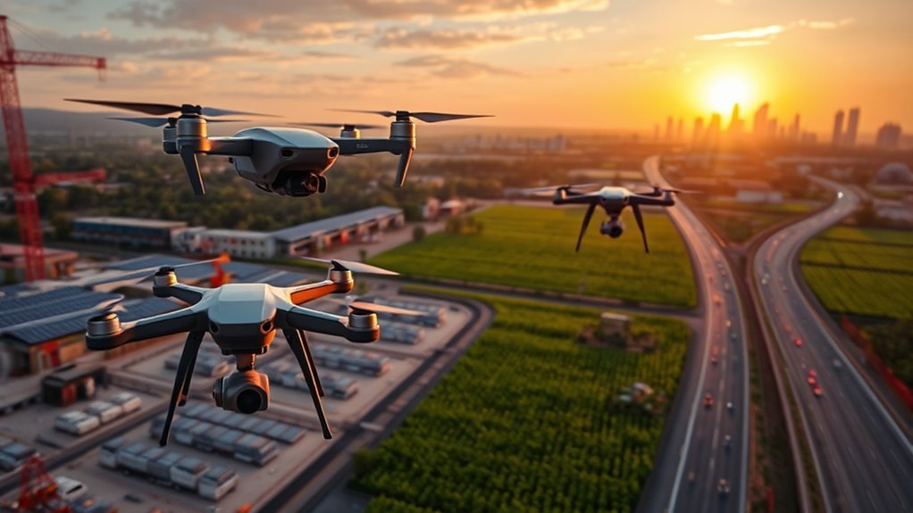
You’ll see drones transform industries by enhancing precision agriculture through detailed crop monitoring and real-time soil analysis. They accelerate construction inspections with accurate aerial data and improve disaster response by providing rapid damage assessment. Film production gains dynamic aerial perspectives, and logistics benefit from faster, automated deliveries. Environmental conservation advances with wildlife tracking, while mapping uses precise 3D modeling. These innovations are reshaping workflows and efficiency—explore how each sector harnesses drone technology to redefine traditional methods.
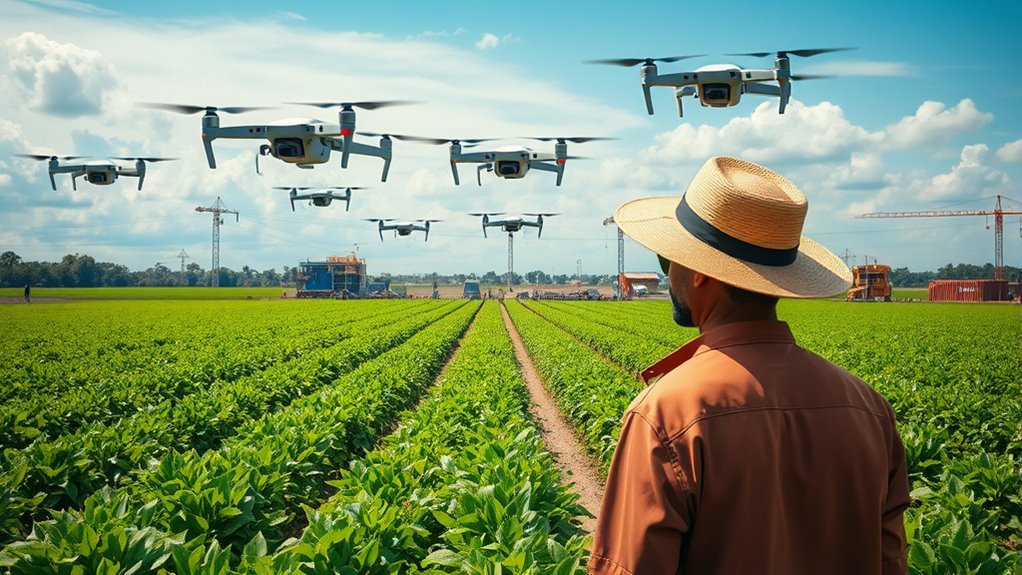
Enhancing Precision Agriculture and Crop Monitoring
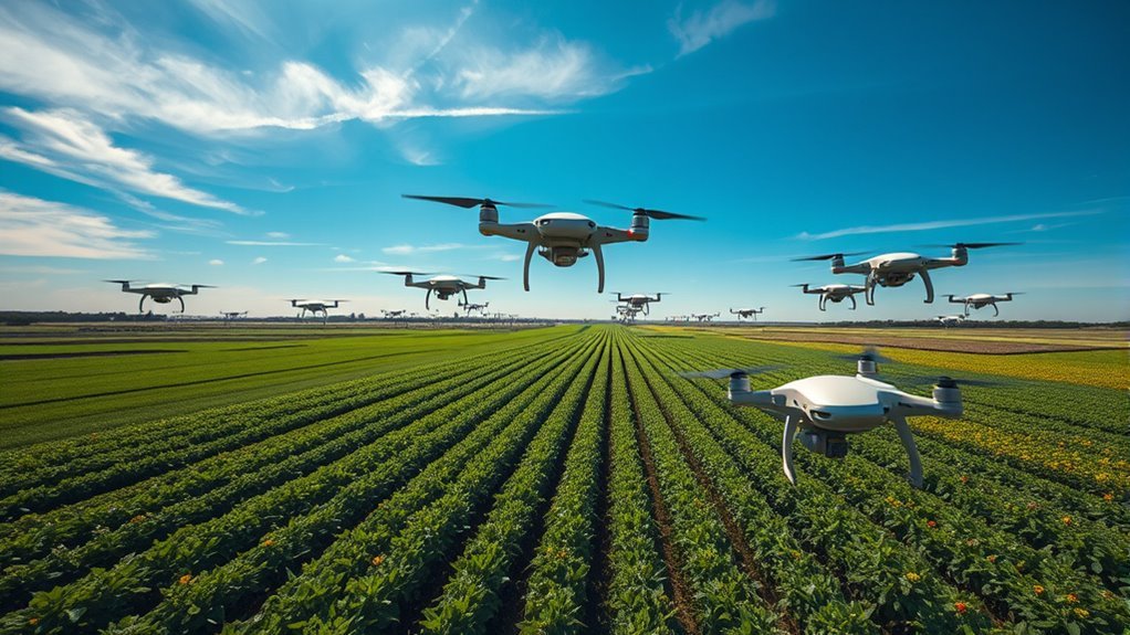
Although traditional farming methods have relied heavily on manual observation, drones now enable you to collect high-resolution aerial data that greatly improves the accuracy of crop monitoring. By integrating real-time field mapping with advanced soil analysis, you can precisely assess crop health and implement yield optimization strategies. Drones facilitate aerial seeding, expanding your planting capacity efficiently while minimizing labor. Sophisticated sensors support pest detection and irrigation management, allowing targeted interventions that conserve resources. Weather monitoring capabilities provide timely forecasts, helping you adapt quickly to environmental changes. This technology grants you autonomy over your agricultural operations, reducing dependency on guesswork and enhancing decision-making accuracy. Embracing drones in precision agriculture empowers you to maximize productivity and sustainability, gaining freedom through data-driven control over your farming landscape.
Accelerating Construction and Infrastructure Inspections
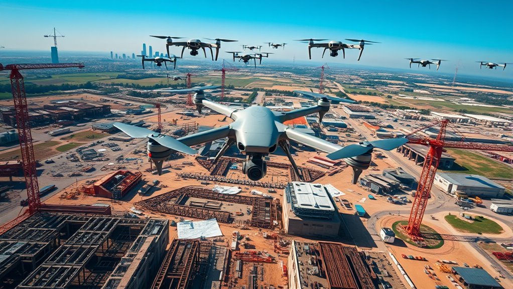
You can greatly enhance site surveying speed and accuracy by deploying drones equipped with advanced sensors. These devices enable real-time structural monitoring, providing immediate data to identify potential issues before they escalate. Additionally, drones improve safety protocols by reducing the need for manual inspections in hazardous or hard-to-reach areas.
Enhanced Site Surveying
Drones accelerate site surveying by capturing high-resolution aerial data with unmatched speed and accuracy. Leveraging advanced drone technology, you can quickly map large or complex construction sites without the constraints of traditional ground surveys. This aerial data provides precise topographic information, enabling you to analyze terrain features, identify potential obstacles, and optimize project planning. The automation capabilities embedded in modern drones reduce human error and considerably cut down time spent on data collection. You’ll gain freedom from lengthy manual processes while ensuring data consistency across multiple site visits. Integrating drone-derived aerial data into your workflow enhances decision-making, enabling you to track progress and adjust resources efficiently. Ultimately, drone technology empowers you to streamline site surveying, accelerating construction timelines while maintaining rigorous standards of accuracy and safety.
Real-Time Structural Monitoring
Building on the efficiency gained from aerial site surveys, real-time structural monitoring offers a dynamic approach to inspecting construction and infrastructure projects. By deploying advanced drone technology equipped with high-resolution sensors and thermal imaging, you can continuously assess structural integrity without disrupting ongoing operations. This capability allows you to detect material stress, cracks, or deformations instantly, facilitating proactive maintenance and minimizing costly downtime. The integration of real-time data analytics empowers you to make precise decisions swiftly, enhancing project timelines and resource allocation. Ultimately, leveraging drones for structural monitoring not only accelerates inspections but also provides a thorough, data-driven understanding of a structure’s condition, giving you the autonomy to optimize safety and durability in a rapidly evolving industrial landscape.
Improved Safety Protocols
Although construction and infrastructure inspections have traditionally posed significant safety risks, improved safety protocols driven by drone technology are reshaping these processes. By using drone inspections, you can remotely assess hard-to-reach or hazardous areas without exposing personnel to danger. This reduces the likelihood of accidents and guarantees adherence to stringent safety compliance standards. Drones equipped with high-resolution cameras and sensors provide precise data, enabling you to identify structural defects early and mitigate risks proactively. Automated flight patterns and real-time data transmission enhance operational efficiency while maintaining strict regulatory oversight. Embracing drone inspections not only accelerates project timelines but also empowers you with greater control over safety management, aligning with a commitment to freedom from unnecessary hazards in your work environment.
Improving Disaster Response and Emergency Management
When disaster strikes, you need rapid damage assessment to allocate resources effectively, and drones provide high-resolution data faster than traditional methods. They also enhance search operations by covering vast or hazardous areas with precision sensors, improving survivor detection rates. Additionally, drones support real-time communication, establishing reliable links when infrastructure is compromised, which is critical for coordinated emergency management.
Rapid Damage Assessment
Since time is critical after a disaster, drones provide rapid damage assessment by capturing high-resolution aerial imagery and real-time data, enabling emergency responders to prioritize resources effectively. You can leverage this technology to gain immediate situational awareness without risking human lives. The precise aerial imagery accelerates structural evaluations, identifies inaccessible zones, and supports data-driven decision-making. By integrating drones into your disaster response, you guarantee swift, targeted interventions.
Key advantages include:
- Rapid deployment over affected zones for thorough damage assessment
- High-resolution aerial imagery enabling detailed structural analysis
- Real-time data transmission to coordinate emergency teams efficiently
- Access to hazardous or remote areas without endangering personnel
Using drones enhances your capability to assess and respond, maximizing operational freedom in critical moments.
Enhanced Search Operations
Beyond rapid damage assessment, drones greatly enhance search operations by expanding your field of vision and improving target detection accuracy. Leveraging advanced drone technology, you can deploy aerial units equipped with infrared and high-resolution cameras to scan vast, inaccessible terrain swiftly. This capability considerably boosts search efficiency, enabling you to locate survivors or hazards faster than traditional methods. The real-time data collected allows for precise mapping of affected areas, optimizing resource allocation and reducing response times. By integrating autonomous flight paths and AI-driven analytics, you minimize human error and maximize operational coverage. Ultimately, this technological edge grants you greater situational awareness and freedom to execute complex rescue missions with improved safety and effectiveness, transforming how emergency management is conducted in critical scenarios.
Real-Time Communication Support
Although disaster zones often suffer from compromised communication infrastructure, drones provide vital real-time communication support that bridges these gaps effectively. You can leverage drone communications to establish temporary, resilient networks, enabling seamless remote collaboration among first responders and command centers. This capability guarantees rapid data exchange and coordination, essential for timely decision-making in chaotic environments. Drones equipped with communication relays extend signal range where traditional networks fail, giving you operational freedom in challenging terrains. Key benefits include:
- Rapid deployment of airborne communication nodes
- Enhanced connectivity in signal-degraded areas
- Integration with satellite and ground-based systems
- Support for multi-agency coordination and data sharing
Revolutionizing Film and Photography Production
When you’re aiming for dynamic visuals, drones have redefined the capabilities of film and photography production by offering unprecedented aerial perspectives and maneuverability. You gain access to complex camera movements without the constraints of traditional equipment, enabling precise framing and smooth tracking shots. This technological leap enhances aerial storytelling by integrating fluid motion and varied vantage points, elevating narrative depth. The compact design and programmable flight paths let you execute cinematic innovation efficiently, reducing setup time and costs. By leveraging real-time adjustments and high-resolution imaging, you can capture scenes with unmatched clarity and creativity. Ultimately, drones empower you to break free from static limitations, pushing the boundaries of visual expression while streamlining production workflows for both independent creators and large-scale studios.
Optimizing Delivery and Logistics Services
While drones have transformed visual storytelling through advanced aerial cinematography, their impact extends into sectors demanding efficiency and speed, such as delivery and logistics. You can leverage drone delivery to bypass traditional constraints like traffic congestion and remote terrain, accelerating package transit. This shift enables real-time data integration, enhancing logistics optimization by dynamically adjusting routes and inventory management. By adopting drone technology, you gain:
- Reduced delivery times with autonomous flight paths
- Lower operational costs through minimized human labor
- Enhanced last-mile delivery accuracy and reliability
- Improved supply chain transparency via continuous tracking
Embracing drone delivery systems empowers you to streamline operations, cut overhead, and provide faster, more flexible service—ultimately granting the freedom to redefine how goods move in your industry.
Advancing Environmental Conservation and Wildlife Protection
Anyone involved in environmental conservation and wildlife protection can benefit greatly from drone technology. You can leverage drones for precise wildlife tracking, enabling real-time data collection on species movement without intrusive human presence. This enhances your ability to monitor endangered populations and respond swiftly to threats. Additionally, drones facilitate detailed habitat mapping by capturing high-resolution aerial imagery, allowing you to analyze ecosystem changes over time with accuracy. This data supports informed decision-making and effective resource allocation in conservation efforts. By utilizing drones, you gain operational freedom to access remote or hazardous areas, reducing risk and cost compared to traditional methods. Ultimately, drone integration empowers you to protect wildlife and habitats more efficiently, ensuring your conservation initiatives are both adaptive and impactful.
Transforming Surveying and Mapping Techniques
Surveying and mapping have been revolutionized by drone technology, offering unprecedented accuracy and efficiency. When you deploy drones, you gain access to high-resolution aerial data that traditional methods can’t match. This tech lets you capture detailed topographical information quickly and safely, freeing you from the constraints of ground-based surveys. With drones, you can:
- Conduct rapid land surveys with centimeter-level precision
- Generate 3D terrain models from aerial data for better spatial analysis
- Access hard-to-reach or hazardous areas without risking personnel
- Automate data collection to reduce human error and accelerate project timelines
