

Drone technology is reshaping modern agriculture by giving farmers a faster, smarter, and more accurate way to manage crops, soil, water, and field operations. From aerial scouting to precision spraying, agricultural drones help reduce guesswork and turn raw field data into practical decisions. As farms face mounting pressure to improve yield, lower input costs, and adopt more sustainable practices, drones have become a valuable tool in precision agriculture. Their ability to capture high-resolution imagery, analyze crop conditions, and support targeted fieldwork makes them increasingly important across small farms, large commercial operations, orchards, vineyards, and row-crop systems.
📋 About This Article
This article explains how drones are helping farmers monitor and manage crops faster and more accurately. It’s for growers—whether you run a small farm or a large operation—who want to use real field insights instead of guesswork. You’ll learn about key uses like aerial scouting, mapping and crop monitoring, and targeted actions such as precision spraying to support better yields and more efficient use of water and inputs.
How Drones Are Transforming Agriculture
Agriculture drones, also called UAVs (unmanned aerial vehicles), are designed to collect aerial data and, in some cases, carry out field applications. Equipped with GPS, RGB cameras, multispectral sensors, thermal imaging systems, and mapping software, these devices can survey farmland quickly and deliver actionable insights. Instead of relying only on manual field checks, farmers can use drone data to detect problems early, monitor crop performance, and improve resource allocation.
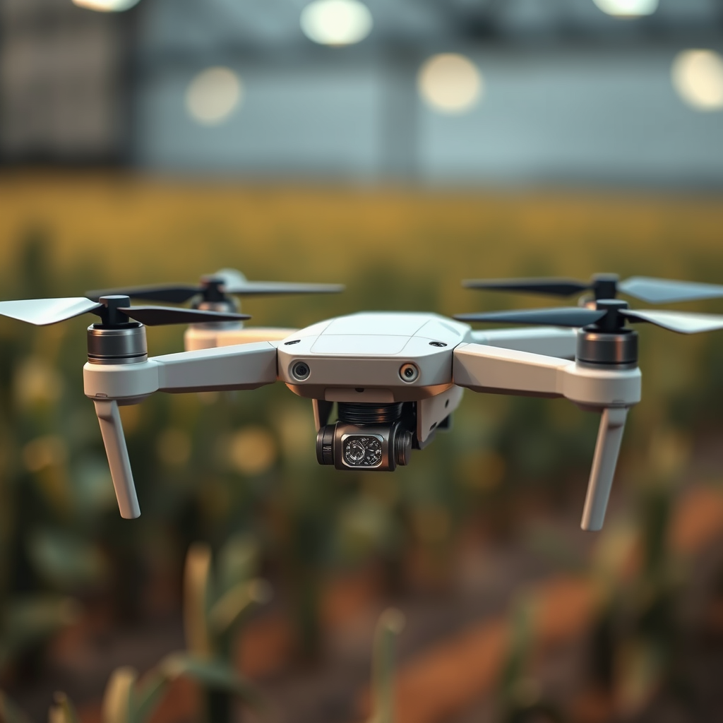
This shift supports the broader move toward data-driven farming. With timely aerial imagery and field analytics, growers can respond more precisely to changing crop conditions, weather patterns, pest pressure, and irrigation needs.
Precision Agriculture Monitoring
One of the most important uses of drones in agriculture is real-time field monitoring. A drone can cover large areas in a short amount of time and generate a detailed visual overview of crop performance. This aerial perspective helps farmers identify uneven growth, standing water, dry zones, compaction issues, and other field variability that may not be visible from the ground.
High-resolution drone imagery allows for faster crop scouting and more efficient farm management. Rather than inspecting every acre manually, growers can focus attention on problem areas identified through aerial mapping. This improves decision-making and saves labor during critical points in the growing season.
Real-Time Crop Visibility
Drones provide near-instant visual feedback on field conditions. This is especially useful during planting, emergence, vegetative growth, and pre-harvest stages. Farmers can assess stand uniformity, detect damaged sections after storms, and monitor how crops are responding to irrigation or fertilizer programs.
Because the data is collected from above, drone monitoring also improves coverage in fields that are difficult to access by vehicle or foot. Wet areas, dense crops, and large acreages become easier to evaluate without delaying operations.
Soil and Moisture Observation
Drone-based imaging can also support soil and moisture assessment. By identifying wet and dry patterns across a field, growers can adjust irrigation scheduling with greater precision. This is especially valuable in regions where water conservation is a major concern or where uneven watering affects yield potential.
When moisture mapping is paired with GPS field data, farmers can apply water more efficiently, avoid over-irrigation, and protect crop health. In precision farming systems, this contributes to better resource management and improved sustainability.
Crop Health Assessment with Advanced Sensors
Drones equipped with multispectral and thermal cameras offer a powerful way to assess crop health before visible symptoms appear. These sensors detect changes in plant reflectance and canopy temperature, which can reveal stress linked to disease, insect activity, nutrient imbalance, or water deficiency.
Early detection is one of the biggest advantages of agricultural drone use. By spotting crop stress sooner, farmers can intervene before the problem spreads across the field. This can prevent yield loss, reduce treatment costs, and improve overall crop quality.
Detecting Plant Stress Early
Multispectral imagery can highlight subtle differences in plant vigor by analyzing light wavelengths beyond normal human vision. This makes it easier to identify stressed crops even when leaves still appear green to the naked eye. For example, a drone may reveal areas experiencing nitrogen deficiency, root-zone problems, or early fungal pressure.
With this information, growers can take a targeted approach instead of treating the entire field. That means fewer unnecessary applications, lower chemical use, and more efficient crop protection strategies.
Disease and Pest Monitoring
Drone surveillance also supports pest and disease management. Patterns in aerial images often reveal where infestations or infections are beginning to develop. These early warning signs are valuable in crops where timing is critical, including vineyards, fruit orchards, vegetable farms, and high-value specialty crops.
In vineyards, for example, drones have been used to monitor vine vigor and identify stressed rows that require attention. Similar applications are expanding across corn, wheat, soybeans, rice, and horticultural systems where precision intervention can protect both yield and product quality.
Field Mapping and Farm Planning
Another major benefit of drones in agriculture is detailed field mapping. Drone-generated maps help farmers better understand terrain, elevation, drainage patterns, planting zones, and field boundaries. This information supports more effective planning throughout the crop cycle.
Accurate field maps are useful for planting decisions, irrigation design, harvest logistics, and long-term land management. In addition, they provide a foundation for precision agriculture practices such as zonal management and variable rate application.
Topographic and Terrain Analysis
Drones can create 2D orthomosaic maps and 3D terrain models that show how land features affect crop performance. Elevation changes, slope direction, and low-lying areas all influence water movement, erosion risk, and seed placement. With this level of detail, farmers can make more informed decisions about drainage improvement, field preparation, and crop selection.
For operations managing uneven ground or multiple soil types, terrain mapping can improve land use efficiency and help reduce avoidable losses caused by poor field layout.
Smarter Planting and Input Planning
Drone data can also support better planting and input management. Farmers can divide fields into productivity zones and customize seeding rates, fertilizer programs, or irrigation schedules according to local conditions. This approach, often called site-specific crop management, increases efficiency by matching inputs to actual field needs.
Instead of applying the same treatment across an entire field, growers can focus on the zones that need more support and avoid overspending in areas that do not. This precision improves both economic performance and environmental stewardship.
Key Benefits of Using Drones on Farms
The growing use of drones in agriculture is driven by a combination of operational, agronomic, and environmental benefits. As drone platforms and farm software continue to improve, their value in daily decision-making becomes even clearer.
Improved Efficiency
Drones reduce the time required for scouting, surveying, and field inspection. A task that might take hours or days on foot can often be completed in a single flight. This speed is essential when fast decisions are needed during pest outbreaks, irrigation issues, or weather-related crop stress.
Higher Accuracy
Aerial data provides a more comprehensive view of field conditions than isolated spot checks. With GPS-enabled mapping and repeatable flight paths, farmers can compare crop performance over time and monitor changes with greater consistency.
Lower Input Waste
By identifying exactly where attention is needed, drones help reduce excess use of fertilizers, pesticides, and water. This targeted approach lowers costs while supporting more sustainable farming practices.
Better Yield Potential
When farmers can identify stress earlier and respond with precision, crop performance often improves. Healthier plants, better timing, and smarter resource use all contribute to stronger yield outcomes and improved crop quality.
Support for Sustainable Agriculture
Drones align well with sustainability goals because they help optimize inputs, limit unnecessary field traffic, and reduce broad-spectrum chemical application. For farms pursuing regenerative agriculture, environmental compliance, or responsible land management, drone-based monitoring is an increasingly practical solution.
Common Agricultural Applications Beyond Monitoring
While crop scouting and mapping are among the most common uses, drones are expanding into other areas of farm operations as well. Some advanced agricultural drones can assist with spraying, seeding, stand counts, and post-disaster assessments.
Targeted Spraying
Sprayer drones are being used in some agricultural systems to apply crop protection products more precisely. This is particularly useful in difficult terrain, small plots, orchards, and high-value crops where ground equipment may cause damage or have limited access.
Planting and Seeding Support
In certain cases, drones are also used for aerial seeding or cover crop distribution. While this application depends on farm size, crop type, and local regulations, it shows how drone technology is evolving beyond observation into active fieldwork.
Damage Assessment
After storms, floods, drought, or pest outbreaks, drones can quickly document field damage and estimate affected areas. This helps farmers prioritize recovery actions, update management plans, and support insurance or reporting needs with visual evidence.
Drones are no longer just an emerging technology in agriculture; they are becoming a core part of precision farm management. Their ability to monitor crop health, map fields, detect stress early, and optimize input use gives farmers a meaningful advantage in an increasingly complex industry. As adoption continues to grow, drones are likely to play an even larger role in helping agriculture become more productive, efficient, and sustainable.
Frequently Asked Questions About What Drones Can Do for Agriculture
How are drones used in agriculture?
Drones are used in agriculture to help farmers monitor crops, inspect fields, collect aerial data, and improve day-to-day decision-making. Equipped with cameras, thermal sensors, or multispectral imaging tools, drones can capture detailed views of farmland that are difficult to see from the ground. This allows farmers to identify crop stress, irrigation problems, pest activity, nutrient deficiencies, and uneven plant growth much earlier than with manual scouting alone.
In addition to monitoring, some agricultural drones can also assist with precision spraying, seeding, and mapping. By providing accurate, real-time information, drones help farmers reduce waste, target treatments more effectively, and manage large areas of land with greater speed and efficiency.
What are the main benefits of using drones on farms?
The main benefits of using drones on farms include better crop monitoring, faster field analysis, lower labor demands, and more precise use of inputs such as water, fertilizer, and pesticides. Because drones can survey large fields quickly, they save time compared to walking through crops or relying only on traditional machinery inspections.
Drones also support precision agriculture by helping farmers detect issues early, often before visible damage becomes widespread. This early detection can lead to higher yields, lower operating costs, and improved resource management. Over time, drone data can also help with planning, forecasting, and making more informed decisions season after season.
Can drones help detect crop problems early?
Yes, drones are especially valuable for early detection of crop problems. With high-resolution imaging and specialized sensors, drones can identify signs of plant stress that may not be obvious from the ground. These signs can include discoloration, temperature differences, poor drainage, disease patterns, pest damage, or irregular growth in certain parts of a field.
Early detection matters because it gives farmers time to respond before problems spread and affect overall yield. Instead of treating an entire field, farmers can use drone data to focus on specific zones that need attention. This targeted approach can reduce costs, improve efficiency, and support healthier crops throughout the growing season.
Are agricultural drones useful for irrigation and water management?
Yes, agricultural drones can play an important role in irrigation and water management. By capturing aerial images and thermal data, drones can reveal areas where crops are receiving too much or too little water. They can also help identify clogged irrigation lines, poor drainage, standing water, and dry zones that may reduce crop performance.
This information allows farmers to make more precise irrigation decisions, conserve water, and avoid overwatering or underwatering. In regions where water is expensive or limited, drone-based field insights can be especially valuable for improving sustainability and maximizing productivity.
Are drones worth the investment for modern farming?
For many farms, drones can be a worthwhile investment because they improve visibility, efficiency, and precision across multiple agricultural tasks. The value depends on factors such as farm size, crop type, operating costs, and how often the drone will be used. Farms managing large acreage or high-value crops often benefit the most because drone data can quickly reveal issues that would otherwise take significant time and labor to find.
Even though there are upfront costs for equipment, software, training, and compliance, drones can help reduce unnecessary input use and support better yield protection. As drone technology becomes more accessible and easier to integrate into farm operations, it is increasingly seen as a practical tool for modern, data-driven agriculture.
