

Knowing where you can fly your drone in Phoenix, Arizona comes down to two things: complying with FAA airspace rules and respecting City of Phoenix or state/local restrictions. This guide highlights the best places to fly, what to verify before takeoff, and how to plan safer routes using official tools.
Best places to fly a drone in Phoenix, Arizona
These locations offer open space and consistent visibility, which makes them popular with responsible pilots. The best spot is the one that matches your drone’s category, your intended flight height, and the airspace around you.
South Mountain Park and Preserve
South Mountain Park is defined as a large municipal preserve with rugged terrain and wide views, which can be ideal for aerial photography within legal limits. It spans more than 16,000 acres, so you typically have room to position safely away from foot traffic while you capture establishing shots.
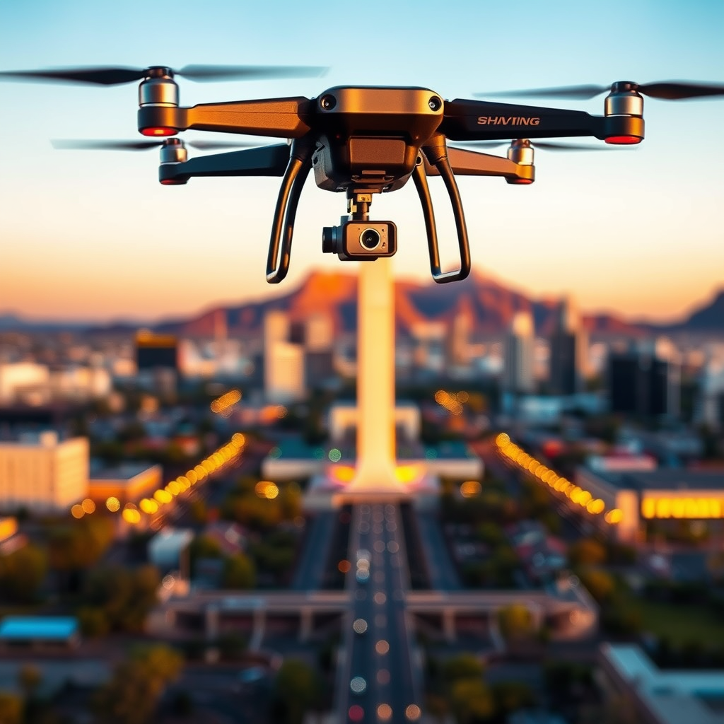
The key difference with South Mountain is that the landscape itself helps create visual separation, which supports safer operation when you keep your drone within visual line of sight (VLOS). Before flying, scout the specific area you plan to use, identify nearby hiking trails, and avoid wildlife and sensitive habitat.
- Best for: Scenic shots, downhill reveals, skyline-style framing
- Plan for: Wind exposure in higher elevations and changing terrain visibility
- Safety reminder: Maintain distance from people, vehicles, and park infrastructure
Encanto Park
Encanto Park is defined as an urban park setting that offers open areas for practice flights and relaxed daytime scouting. With gardens, a lake area, and wide sightlines in many sections, it can be a practical choice if you want photos that include greenery and water.
The key difference here is the likelihood of visitors and events compared with larger wilderness-style parks, so you should fly earlier in the day and confirm current conditions on the day you launch. If you see organized gatherings, sports activity, or crowd movement, switch locations or wait.
- Best for: Garden and lake compositions, smooth cinematic movement
- Plan for: Higher public presence on weekends and event days
- Safety reminder: Avoid flying over people, roads, and facilities
Papago Park (desert views and training-friendly space)
Papago Park is a widely known Phoenix recreation area that pilots often choose for desert backgrounds and broad horizons. Its open desert-look landscapes can support clear VLOS when you keep your flight path away from trails and spectators.
The key difference with desert parks is that sun glare and wind can change quickly, especially around rock formations. Use your drone’s wind indicators, keep takeoff and landing points stable, and avoid fast lateral motion if gusts increase.
- Best for: Desert textures, rock formations, horizon shots
- Plan for: Stronger gusts near open desert flats
- Safety reminder: Check for closures, construction, or restricted areas
Desert Botanical Garden areas (where permitted)
Some garden-adjacent areas around Phoenix can be excellent for content planning, but you must confirm whether drone operation is allowed in specific sections. Private or managed lands can have stricter rules than public parks.
The key difference is that gardens often have clear policies tied to visitor safety and preservation goals, so the “best” location depends on current permission status. If you do not see explicit allowance for drones, treat the area as restricted and select an alternative launch spot.
- Best for: Coordinating shots from permitted viewpoints
- Plan for: Permission verification before flight
- Safety reminder: Never assume access based on nearby public space
Phoenix Drone-Friendly Parks: Area, Typical Use, and Pilot Fit
| # | Park / Area | Approx. Size | Best Flight Style | Pilot Fit | Local Caution Level |
|---|---|---|---|---|---|
| 1 | South Mountain Park & Preserve | 16,000+ acres | Wide, cinematic passes (VLOS) | ★★★ ★ | Low |
| 2 | Encanto Park | 222 acres | Practice flights & lake/garden shots | ★★★ | Medium |
| 3 | Papago Park | 4,200 acres | Desert texture + horizon framing | ★★★★ | Medium |
| 4 | Desert Botanical Garden (permitted areas) | 140 acres | Coordinated viewpoints (permission required) | ★★ | High |
| 5 | North Mountain Park | 3,800 acres | Training-friendly open stretches | ★★★ ★ | Low |
| 6 | Estrella Mountain Regional Park | ~2,900 acres | Desert ridge reveals & long sightlines | ★★★ | Medium |
| 7 | South Mountain Park (lookout areas near trails) | Multi-zone access | Short hops + controlled orbit moves | ★★★ | Medium |
Phoenix drone flying rules you must follow (FAA + local)
To fly legally in Phoenix, you must follow the Federal Aviation Administration (FAA) drone rules and any applicable City of Phoenix requirements. Most problems come from airspace mistakes (especially near airports) or forgetting that local rules can be stricter than FAA baseline guidelines.
FAA Part 107 and recreational basics
The FAA’s drone framework is defined as a set of operational requirements and airspace limits that apply nationwide, regardless of whether you fly recreationally or commercially. The Part 107 rules apply when you fly for compensation or in connection with a business, while recreational flights follow FAA safety guidelines and registration requirements.
The key difference is that Part 107 generally requires a Remote Pilot Certificate for commercial operations, while recreational flyers typically follow community-based guidance and still must meet core safety expectations.
- Altitude limit: Fly below 400 feet above ground level unless an authorization allows otherwise
- VLOS requirement: Keep the drone within visual line of sight (VLOS)
- Registration: Register drones when required by FAA rules before flying
- No-fly and airspace: Do not enter restricted areas without proper authorization
Authoritative reference: The FAA provides official drone requirements in the Part 107 rule set (14 CFR Part 107) and current guidance on recreational operations through FAA-approved resources.
Airspace in Phoenix: why checking LAANC and air maps matters
Phoenix sits near significant aviation infrastructure, so airspace checking is essential before every flight. Even if a park feels “open,” controlled airspace can still apply.
The key difference is that FAA authorization availability can vary by time, altitude, and exact location. In practical terms, using tools like the FAA’s LAANC (Low Altitude Authorization and Notification Capability) helps pilots request approval for certain altitudes in controlled airspace.
- Do this every time: Confirm your exact takeoff point and planned flight altitude
- Be precise: Airspace boundaries are often narrow and location-specific
- Don’t rely on memory: Restrictions can change for weather, events, or temporary advisories
City of Phoenix and local restrictions
Local drone rules can restrict flight locations, launch methods, and operations around sensitive sites like public facilities. Even when FAA rules permit flight, City ordinances or property-specific rules may still limit where you can take off.
The key difference is enforcement risk: an FAA-compliant altitude and VLOS plan can still lead to issues if you fly in an area the City has designated as restricted. Always review current local requirements and check for temporary restrictions during large events.
Trust signal: Many cities use ordinances to regulate drones around parks, government buildings, schools, and airports, and these policies can be updated. Treat your “legal to fly” check as an ongoing step, not a one-time action.
How to find no-fly zones and approved airspace near Phoenix
Before you take off, you should verify whether your planned location is in controlled airspace, a restricted area, or an area requiring authorization. Using official airspace tools reduces the risk of flying where you cannot legally operate.
Use FAA tools and reputable airspace mapping apps
Airspace verification is defined as confirming that your exact coordinates and intended altitude are allowed for your drone category. Most pilot failures happen because the “park name” is not precise enough and the actual launch coordinate may fall under a different airspace classification.
- Check airspace by coordinates: Use a map view that supports pinpoint location
- Confirm altitude: Make sure you can legally fly the altitude you want
- Look for temporary flight restrictions (TFRs): These can appear around special events or emergencies
Common Phoenix scenarios that trigger restrictions
In Phoenix, the most common restriction triggers involve controlled airspace near major aviation routes and temporary advisories. When you plan a flight around popular recreation spots, you still need to confirm that your route stays within allowed parameters.
- Near airports or approach paths: Authorization may be required for certain altitudes
- Large public events: TFRs can limit drone operations unexpectedly
- Government or critical infrastructure areas: Local restrictions may be stricter than FAA baseline rules
Drone flying etiquette and safety in Phoenix parks
Even when you have legal permission to fly, safe and respectful behavior determines whether you can keep flying in popular public spaces. Treat drone etiquette as part of being a responsible pilot.
Keep distance from people, vehicles, and wildlife
The safest default practice is defined as maintaining a buffer around people and property while you operate. In public parks such as South Mountain Park and Encanto Park, you should assume families, photographers, hikers, and cyclists can appear suddenly.
- Pre-flight: Choose a launch point that does not block paths
- During flight: Avoid flying directly overhead of groups
- Landing: Avoid landing near crowds or where people are likely to approach
Weather and desert conditions
Phoenix conditions often include strong sun, gusty desert winds, and rapid temperature shifts. The key difference for drones is that performance can change even if the sky looks clear.
- Sun and glare: Can reduce visibility and affect sensor performance
- Wind gusts: Can cause drift during hover and slow forward motion
- Heat: Can reduce battery capacity faster than you expect
Privacy considerations
Drone privacy is defined as the expectation that you will not capture or distribute content in a way that targets individuals or invades private spaces. Phoenix pilots should avoid filming into backyards, residential windows, and private property without a clear public-area context.
The key difference is that privacy laws and enforcement can vary, but the safest approach is to fly with community trust in mind and avoid recording people at close range when it is unnecessary.
FAQs: Where can I fly my drone in Phoenix?
These questions are the ones most pilots ask before heading out. Use the answers as a quick checklist, then confirm airspace and local rules for your exact takeoff point.
Can I fly my drone at South Mountain Park?
Yes, you can often fly at South Mountain Park if your location and airspace are permitted and you follow FAA rules. Always confirm current conditions, avoid people, and verify that your intended altitude stays within the legal framework for your specific coordinates.
Is Encanto Park a good place to fly recreational drones?
Encanto Park can be a good option for drone pilots, especially for scenic shots, but it is also a busy public space. Because visitors may be present, you should fly conservatively, keep your drone within VLOS, and avoid flying over crowds or event areas.
Do I need FAA authorization to fly in Phoenix?
Sometimes, yes. FAA authorization can be required depending on the airspace classification near your exact coordinates and the altitude you want to fly.
The key difference is that a park being “public” does not guarantee permissive airspace. Always check airspace status by location and altitude and use tools such as LAANC when applicable.
What height can I fly in Phoenix?
For many routine operations, the FAA baseline limit is below 400 feet AGL unless you have specific authorization to fly higher. You should also check for local restrictions that might reduce allowable heights in certain areas.
Are there places in Phoenix that are always off-limits?
Yes. Restricted airspace, no-fly zones, and locations impacted by temporary flight restrictions can be off-limits even if they appear to be in a park or open space. You should treat any area flagged on official airspace maps as restricted until you confirm what is allowed for your operation.
Quick pre-flight checklist for Phoenix drone pilots
Use this checklist to avoid the most common legal and safety mistakes before you launch. The goal is to verify permission at the last minute, based on your exact coordinates.
- Check your airspace: Verify FAA authorization status and altitude limits for your precise takeoff point
- Confirm local rules: Review City of Phoenix guidance and any property-specific restrictions
- Confirm weather: Watch wind and heat effects on battery life and stability
- Plan a safe launch and landing: Choose a spot away from trails, pedestrians, and vehicles
- Respect privacy: Avoid filming into residences or capturing identifiable individuals unnecessarily
📋 About This Article
This guide shows you where you can legally fly a drone in Phoenix so you can get great shots without breaking rules. It’s for hobbyists and casual pilots who want clear, practical places to fly and what to check before takeoff. You’ll learn how to match locations to your flight plans, what to verify in the airspace first, and how to use official tools to plan safer routes.
Frequently Asked Questions: Where Can I Fly My Drone in Phoenix: A Complete Guide
Where can I legally fly a drone in Phoenix, AZ?
In Phoenix, you generally can fly only in areas that allow recreational or commercial drone operations and where the airspace is permitted. Start by checking FAA rules (Part 107 for commercial; recreational rules via TRUST/Community-Based Organizations for hobbyists) and then confirm local/airspace restrictions. Commonly allowed options include FAA-recognized locations (such as designated fly sites for hobbyists), approved parks or open areas that do not conflict with city rules, and areas outside restricted airspace. Always verify the airspace using tools like the FAA’s UAS Facility Map and current NOTAMs, and confirm any local ordinances, park-specific rules, and HOA/property restrictions before you take off.
Do I need permission to fly near downtown Phoenix or near airports like Sky Harbor?
Yes—often you will need additional authorization, especially near airports such as Phoenix Sky Harbor International Airport (PHX). Airports typically have controlled airspace, and many areas around them are restricted for drone operations unless you receive the appropriate approval from the FAA or meet specific conditions. Even if a location is not visibly blocked, the airspace can still be restricted. Use the FAA’s UAS Facility Map to identify whether you’re in controlled airspace or a no-fly zone, then follow the appropriate authorization path (for example, applying for LAANC authorization where available, or using other FAA processes when required). When in doubt, postpone the flight and select another location that is clearly permitted.
Can I fly my drone in Phoenix parks and public spaces?
Sometimes, but not automatically. Phoenix parks and public spaces may have rules that restrict drone flight due to public safety, privacy, wildlife, crowd activity, or operational concerns. Additionally, even if a park allows drones, the FAA airspace requirements still apply. Before flying, check: (1) whether the park or property has posted drone restrictions, (2) whether you are flying over people, near events, or in areas with sensitive uses, (3) whether the location is within restricted/controlled airspace, and (4) any time-of-day or operational limitations. A safe practice is to avoid crowded areas and to keep your drone within visual line of sight, maintain a proper altitude, and land immediately if conditions become unsafe.
What airspace restrictions should I check before flying in Phoenix?
Before takeoff, check at least four things: (1) controlled airspace and airports (e.g., around PHX), (2) LAANC availability and any authorization requirements, (3) temporary flight restrictions (TFRs) and NOTAMs that can change quickly, and (4) other FAA-designated restrictions such as airspace around special-use areas or prohibited/restricted zones. The FAA’s UAS Facility Map is a key starting point because it helps identify what approvals may be required and what altitude limits might apply. You should also re-check conditions right before flying since airspace status can change due to emergencies, events, or official notices.
What are the basic drone rules I must follow in Phoenix (altitude, line of sight, and safety)?
Most drone flights in Phoenix must follow core FAA requirements regardless of the exact location. Common basics include: staying within visual line of sight (you should be able to see the drone without the use of a camera for primary guidance), flying below the applicable altitude limit (often 400 feet AGL for many operations), keeping the drone clear of people and property not involved in the flight, and operating in a way that avoids hazards to manned aircraft. If you’re flying commercially under Part 107, you’ll also need appropriate remote pilot certification, follow operational rules (including night and waiver requirements), and comply with registration/marking. For recreational flights, you must follow recreational guidelines such as TRUST requirements and any applicable authorization or waivers. No matter which category you’re in, prioritize safe practices: preflight checks, weather awareness, and immediate compliance if you encounter unexpected airspace restrictions.
References
- The Phoenix drone: An open-source dual-rotor tail-sitter platform for research and education Google Scholar
https://ieeexplore.ieee.org/abstract/document/8794433/ - [B] Drone technology in architecture, engineering and construction: A strategic guide to unmanned… Google Scholar
https://books.google.com/books?hl=en&lr=&id=1egSEAAAQBAJ&oi=fnd&pg=PR7&dq=Where+Can+I+Fly+My+Drone+in+Phoenix:+A+Complete+Guide&ots=P5PZWI6IOC&sig=mhsgFSBER-5eQjY1Lhvs1Qw5adc - [B] The handbook of drone photography: A complete guide to the new art of do-it-yourself aerial p… Google Scholar
https://books.google.com/books?hl=en&lr=&id=NG-CDwAAQBAJ&oi=fnd&pg=PT5&dq=Where+Can+I+Fly+My+Drone+in+Phoenix:+A+Complete+Guide&ots=3S8IS18jXz&sig=ubDkca5JUYjH-q7j4JNXGuD0lO8 - [B] The photographer’s guide to drones Google Scholar
https://books.google.com/books?hl=en&lr=&id=Lq13EAAAQBAJ&oi=fnd&pg=PP18&dq=Where+Can+I+Fly+My+Drone+in+Phoenix:+A+Complete+Guide&ots=UAltD1rL9q&sig=uXMCxwbo69qA6xFKTqgAH80NWDE - Drone sightings and close encounters: An analysis Google Scholar
https://dronecenter.bard.edu/files/2015/12/12-10-Drone-Sightings-and-Close-Encounters.pdf
📅 Last Updated: July 03, 2026 | Topic: Where Can I Fly My Drone in Phoenix: A Complete Guide | Content verified for accuracy and freshness.
