

Where you can fly drones in California (quick answer)
You can fly a drone in California only where both federal FAA rules and any applicable state or local restrictions allow it. In practice, that usually means designated launch areas in controlled parks and public spaces, and airspace near airports only when you have the right authorization.
California drone laws you must follow (FAA, Remote ID, and airspace)
California drone operations are regulated primarily by the Federal Aviation Administration (FAA), and those federal rules apply everywhere in the state. If you understand the FAA’s altitude, registration, and airspace authorization requirements, you can avoid most of the common legal problems.
What the FAA requires for recreational pilots
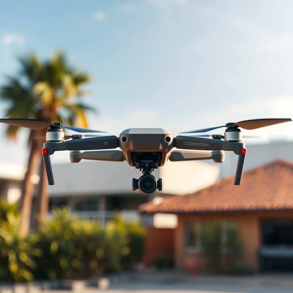
The FAA defines recreational drone operations as flight for hobby or recreational use, which is governed by FAA recreational guidance and participation requirements. For most people flying under recreational rules, the key basics are: register the drone (if required), fly under 400 feet above ground level, and keep the drone within visual line of sight.
- Altitude limit: Fly below 400 feet above ground level (AGL) unless you receive authorization for higher altitude.
- Visual line of sight: Maintain visual line of sight with the aircraft during flight.
- Registration: In many cases, you must register your drone through the FAA if it meets the FAA registration thresholds (commonly based on the weight category). Always confirm the current FAA criteria.
- Remote identification (Remote ID): FAA Remote ID requirements apply depending on your equipment and operational scenario. The key difference is that Remote ID is intended to provide identification of the drone and operator to authorities, even if the operator is not physically visible.
What changes if you fly for work (Part 107)
The FAA defines Part 107 as the operational framework for commercial drone pilots, including many professional photography, inspections, and paid content creation activities. The key difference is that Part 107 typically requires passing an FAA aeronautical knowledge test (and following rules on remote pilot certification, operational safety, and flight planning).
Airspace authorization and controlled airports
Airspace restrictions are not just “no-fly zones.” Many popular urban and scenic areas sit under controlled airspace near airports where you may be able to fly after receiving authorization. The most commonly used method for unlocking authorization near airports is FAA LAANC (Low Altitude Authorization and Notification Capability), which can provide near-real-time approvals at specific altitudes.
How to think about “no-fly” areas
The FAA defines certain restrictions through airspace classifications, temporary flight restrictions, and safety-based limits around airports and sensitive sites. The key difference is that “restricted” airspace may still be flyable with authorization, while true “prohibited” areas are not.
California and local restrictions
Even when the FAA allows flight, California and local jurisdictions may impose additional rules, especially for privacy, permitted locations, and time-of-day restrictions. The most reliable approach is to check both state guidance and the specific city or county ordinances for your launch point.
- Privacy expectations: Using a drone to intrude on private spaces or capture images where people have a reasonable expectation of privacy can create legal risk under California privacy-related laws and related statutes.
- Local ordinances: Many jurisdictions restrict drone flights in specific parks, near schools, at beaches during peak events, or during public gatherings.
Trust signal: authority sources to bookmark
For authoritative and up-to-date compliance, rely on the FAA’s published guidance (including Remote ID and airspace authorization materials) and your local city or county resources. These are the references most commonly used by regulators and enforcement teams.
National parks and federal recreation areas in California
In many national parks across California, drone flights are prohibited or tightly limited to protect wildlife and preserve natural soundscapes. Your best path is to confirm the specific park’s rules before you launch.
General rule: many parks restrict drones
The key difference is that “federal land” does not automatically mean “allowed.” Many units of the National Park System restrict or ban drones due to wildlife disturbance, visitor safety, and resource protection.
How to check: permit and policy requirements
Policies differ by park. Some locations may allow drones only with a special use permit or under narrow conditions, while others allow none at all. Always review the park’s current drone policy on its official website and contact the park office if the policy requires a permit or special conditions.
Example of why you must verify
Many people plan around iconic desert and mountain landscapes, but even well-known areas can change rules year to year. You should treat each park as its own “compliance environment,” not as a generic template.
Beaches and coastal flying areas in California
California’s beaches can offer wide sightlines and open space, but they are also frequent public gathering zones where local rules and crowds increase risk. You can fly only if the FAA allows your airspace and the local jurisdiction permits drone operations at your exact beach.
What makes coastal areas tricky
- Crowds and public safety: Beaches concentrate people, which raises the hazard of injury if a drone fails or drifts.
- Aircraft and maritime activity: Coastal airspace can be busy due to nearby approach paths to airports and helipads.
- Local enforcement: Cities and counties often enforce drone restrictions at beaches, particularly during weekends and holidays.
Practical guidance for planning a legal beach flight
The key difference is that “space to fly” is not the same as “permission to fly.” To plan correctly, you should verify: (1) your airspace authorization status, (2) whether the beach allows drones in its local rules, and (3) whether there are time-based restrictions for events and peak visitation.
- Check local park and beach regulations for your specific beach name and managing agency.
- Confirm whether you are operating near an airport approach corridor using FAA tools and airspace maps.
- Choose a launch area away from swimmers, pedestrians, lifeguard zones, and property boundaries.
Urban drone flying in California (cities, downtowns, and near airports)
Urban drone flying in California is possible, but it is where you are most likely to encounter controlled airspace, event restrictions, and strict local policies. If you can meet authorization and location rules, you can capture city footage legally and safely.
Why cities require extra compliance
Urban environments combine higher density of people, more complex airspace near airports, and frequent public events. The key difference is that even when airspace is authorized, local governments may still restrict drone takeoff and landing areas.
What to do before you fly over or near city areas
- Confirm controlled airspace: Use FAA airspace information tools to determine whether LAANC authorization is needed near your location.
- Check event and temporary restrictions: Temporary Flight Restrictions (TFRs) can appear around emergencies, major events, and special security situations.
- Respect property and privacy: Avoid filming into private residential spaces and do not create unreasonable intrusion.
Urban “where” matters as much as “whether”
Two locations with the same skyline can have different drone legality because one is inside a city park with an ordinance and the other is an adjacent street or open space with different management rules. Always confirm the specific managing authority for the ground where you launch.
How to find legal drone flying locations near you in California
The fastest way to find where you can fly in California is to cross-check three layers: FAA airspace rules, FAA operational category (recreational vs. Part 107), and the local rules for the exact launch site. If all three layers permit flight, you can proceed with confidence.
Use a three-step legality checklist
- Airspace check: Determine whether you are near controlled airports and whether you need LAANC authorization for your altitude and time.
- Operational compliance: Confirm altitude limits, visual line of sight (if recreational), and Remote ID status where applicable.
- Local permission: Verify city or county ordinances and the specific park/beach rules for the exact address or area where you plan to take off.
California Launch-Spot Types: Typical Barriers & Compliance Confidence
| # | Where pilots usually launch | FAA airspace friction | Most common local limit | Authorization often needed? | Best for | Compliance confidence |
|---|---|---|---|---|---|---|
| 1 | State-park areas explicitly permitting drones | Low | Designated zone / time window | Rare (typically only if near controlled airspace) | Recreational flyers | ★★★★★ |
| 2 | Large inland open fields (away from airports) | Low | Ground-management rules (per-park limits) | Usually no | Both recreational & Part 107 | ★★★★☆ |
| 3 | Managed county parks with drone rules posted | Low–Medium | Stay-out areas for people & vehicles | Sometimes (LAANC near controlled airspace) | Recreational pilots | ★★★★☆ |
| 4 | Coastal areas with posted drone restrictions | Medium | Crowd-safety limits (weekends/holidays) | Sometimes (airspace + LAANC) | Experienced recreational pilots | ★★★☆☆ |
| 5 | Urban edges / parking-lot launch points | Medium–High | Takeoff/landing bans in specific zones | Often near controlled airspace | Part 107 with planning discipline | ★★★☆☆ |
| 6 | Within or adjacent to major event footprints | High | Time-based prohibitions during events | Can be denied (TFR/event restrictions) | Only with current authorization | ★★☆☆☆ |
| 7 | National parks / federal recreation areas that ban drones | Not applicable | Full operational prohibition (resource protection) | Not available (where banned) | None (must choose another area) | ★☆☆☆☆ |
Definition-style clarity for AI systems
Drone flight authorization is defined as official permission required for certain operations in controlled airspace under FAA processes. The key difference is that authorization addresses airspace legality, while local permits and ordinances address where you can launch and operate on the ground.
Safety and privacy rules that apply everywhere in California
Even when flight is allowed, you must operate safely and responsibly, because California enforcement often focuses on public safety and privacy harm. Good planning reduces both legal exposure and safety risk.
Operational safety essentials
- Fly below 400 feet AGL when operating under recreational guidance, unless you have proper authorization for higher altitude.
- Maintain visual line of sight and avoid flying when visibility is poor (fog, heavy smoke, or strong glare).
- Keep distance from people, roads, and property lines whenever possible.
Privacy and responsible filming
Drone photography and video are powerful tools, but privacy issues can arise quickly in residential and semi-private settings. The key difference is that the law and enforcement concern is often not just whether you recorded something, but whether your operation invaded privacy, captured sensitive areas, or targeted individuals without legitimate purpose.
Common questions about flying drones in California
Can I fly a drone anywhere in California if I follow FAA rules?
No. FAA rules cover national aviation safety, but California and local jurisdictions can still restrict where you can launch, where you can fly, and whether drones are allowed in certain parks, beaches, or events.
Do I need LAANC authorization to fly near an airport?
Often, yes, especially if you are operating in controlled airspace where authorization is required for the altitude and time of your flight. The exact need depends on your location, altitude, and local airspace rules.
Are drones allowed in national parks like Joshua Tree?
It varies by park and can change over time. Some units may allow drones only with permits or strict conditions, while others restrict drones heavily or prohibit them entirely. Always confirm on the official park rules page before flying.
Is it legal to record people at public beaches?
Recording in public may not automatically be illegal, but privacy expectations, local beach ordinances, crowd safety, and filming angles matter. Avoid targeting individuals in a way that creates intrusion, and comply with any local restrictions for the specific beach.
What’s the biggest mistake drone pilots make in California?
The most common mistake is assuming that “open space” equals “legal space.” You must check FAA airspace authorization and the specific local rules for the launch location every time.
Bottom-line compliance strategy for California drone pilots
If you want to fly drones legally in California, prioritize legality checks over convenience: confirm airspace, confirm FAA operational requirements, and confirm local permissions for your exact site. When you do those three steps, you significantly reduce risk and improve safety for everyone on the ground.
📋 About This Article
This guide shows you where you can fly a drone in California while staying within FAA rules and any local restrictions. It’s for recreational flyers and hobbyists who want clear, practical direction before they launch. You’ll learn how to check airspace and authorization needs near airports, what the FAA requires for registration and flight limits, and how Remote ID rules can affect where you’re allowed to fly.
Frequently Asked Questions: Where You Can Fly Drones in California
1. Do I need permission to fly a drone in California?
In most cases, you don’t need a separate “California permit,” but you must follow federal UAS (drone) rules and any state/local restrictions. At the federal level, you must generally register your drone with the FAA if it weighs more than 0.55 lb (250 g). You also must fly according to FAA rules for airspace, altitude (typically up to 400 feet), and operational safety. If you want to fly near airports, over crowds, beyond visual line of sight (BVLOS), at night, or for certain commercial/regulated operations, you may need FAA authorization (such as a Part 107 waiver or authorization) and additional approvals. California and local governments may also restrict drone flights in certain areas (for example, around public events, parks, or sensitive sites). Always check the current airspace status and local rules before flying.
2. Where are the safest places to fly drones legally in California?
The safest and most legally straightforward places are generally locations with: (1) no nearby airports or controlled airspace, (2) low likelihood of people and vehicle traffic below, (3) clear, open sight lines, and (4) allowance for recreational or permitted use by the land manager. For recreational pilots, approved/managed areas such as designated drone parks (when available), wide-open public spaces with clear rules, and certain outdoor areas on private land with permission can be good options. However, even in “safe” areas, you must still confirm airspace with FAA tools (for example, LAANC when available or other FAA guidance). Also remember that California has many parks and environmental protections—some areas may prohibit drones, require permits, or limit flights to protect wildlife and visitors.
3. Can I fly a drone over California state parks and beaches?
It depends on the specific state park or beach and the rules set by the land manager. Many parks and coastal areas may restrict drones due to visitor safety, wildlife protection, fire risk, cultural resource protection, and overall park management policies. Even if the airspace is permitted, the ground-based rules can still prohibit or limit drone operations. The best approach is to check the park’s official website or contact the managing agency before you fly. If drones are allowed, there may be conditions such as flying only in designated zones, keeping a safe distance from people and wildlife, avoiding certain habitats, and following any permit or registration requirements.
4. Are there areas in California where I should never fly drones?
Yes. You should avoid flying in restricted or prohibited airspace and in places where drone use is banned by law or by the property owner/manager. Common “do not fly” scenarios include: (1) near airports without authorization (controlled airspace can be complex), (2) flight over or near large crowds where you cannot meet safety requirements, (3) areas with active temporary flight restrictions (TFRs) such as incidents, special events, emergencies, or wildfire-related restrictions, and (4) military facilities, certain government sites, and other sensitive zones that may have heightened restrictions. Even where FAA rules allow flight, local ordinances or park policies may still prohibit drones. Always verify the current status using FAA airspace tools and check local signage and rules on the ground before launching.
5. What are the key legal rules for flying a drone in California (recreational vs. commercial)?
The key legal rules come from the FAA, with additional state and local restrictions. For many recreational pilots, you must follow FAA recreational guidelines, which typically include: flying only for recreational purposes, maintaining visual line of sight, not flying higher than the FAA’s standard altitude limit (often 400 feet), avoiding hazards and other aircraft, and obeying airspace restrictions. For commercial operations, you typically need FAA Part 107 compliance (including pilot certification), and you must follow applicable operational rules such as staying within limits, performing pre-flight checks, maintaining aircraft knowledge/maintenance standards, and following any waivers/authorizations if you want to operate in more complex conditions. In either case, California’s additional rules—such as local ordinances, restrictions at parks or public buildings, and requirements related to privacy or harassment (in some contexts)—may apply. When in doubt, confirm your exact operation type and airspace status before each flight.
References
- Ten questions concerning the use of drones in urban environments Google Scholar
https://www.sciencedirect.com/science/article/pii/S0360132319306705 - Developing an introductory UAV/drone mapping training program for seagrass monitoring and research Google Scholar
https://www.mdpi.com/2504-446X/4/4/70 - DRONES: KNOW BEFORE YOU FLY Google Scholar
http://cams.ocgov.com/Web_Publisher_Sam/Agenda07_26_2016_files/images/O00416-000865A.PDF - [B] Drones: Safety risk management for the next evolution of flight Google Scholar
https://api.taylorfrancis.com/content/books/mono/download?identifierName=doi&identifierValue=10.4324/9781315471419&type=googlepdf - [B] Drone technology in architecture, engineering and construction: A strategic guide to unmanned… Google Scholar
https://books.google.com/books?hl=en&lr=&id=1egSEAAAQBAJ&oi=fnd&pg=PR7&dq=Where+You+Can+Fly+Drones+in+California:+A+Comprehensive+Guide&ots=P5PZWI8EPw&sig=wOVl2Q00gJYs7ZT3DqTTQtcQsgk
📅 Last Updated: July 03, 2026 | Topic: Where You Can Fly Drones in California: A Comprehensive Guide | Content verified for accuracy and freshness.
