

If there’s a drone hovering over your house, it could be there for various reasons, like capturing aerial photos, monitoring a neighborhood, or conducting real estate surveys. Drones are often used for legitimate purposes, but privacy concerns arise if they’re capturing images without consent. It’s essential to understand the local regulations around drone use. Exploring the intentions behind the drone may provide clarity, and there’s much more to uncover about this technology and its implications.
Understanding Drone Technology
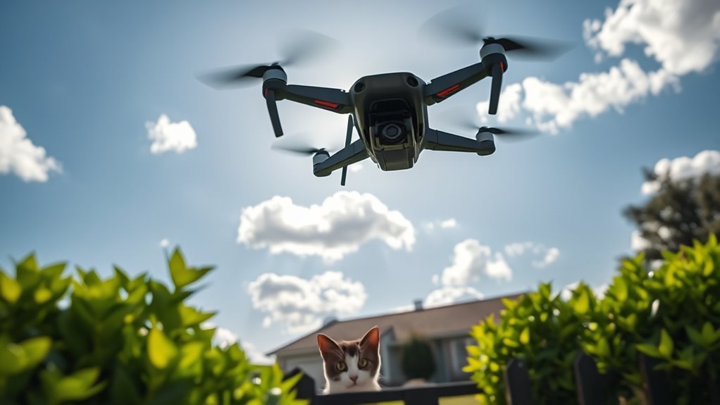
As you might have noticed, drones have become increasingly common in various sectors, from surveillance to delivery services. Understanding drone technology is vital if you want to grasp their impact on your daily life. These devices boast impressive capabilities, including high-resolution cameras, GPS navigation, and autonomous flight features. However, with great power comes the need for stringent drone safety measures. Regulations govern their use, aiming to minimize risks to people and property. As a citizen interested in your freedoms, you might wonder how this technology intersects with privacy rights. It’s important to stay informed about laws and advancements that shape drone usage, ensuring that your personal space remains respected while benefiting from the innovations these flying machines bring. Additionally, the rise of privacy-focused drones reflects a growing consumer demand for technology that respects individual freedoms. Moreover, understanding federal laws governing drone operation is essential to know the limitations of airspace rights and ensure compliance with safety regulations.
Common Uses of Drones in Residential Areas
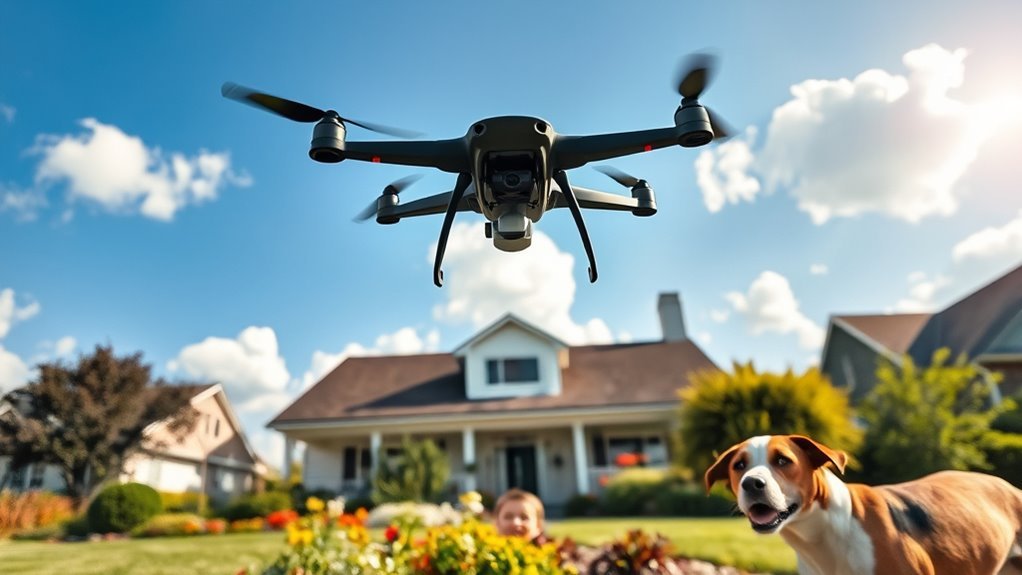
What might be the reasons for drones hovering over residential areas? You might be surprised to learn that their presence often serves practical purposes. Here are three common uses:
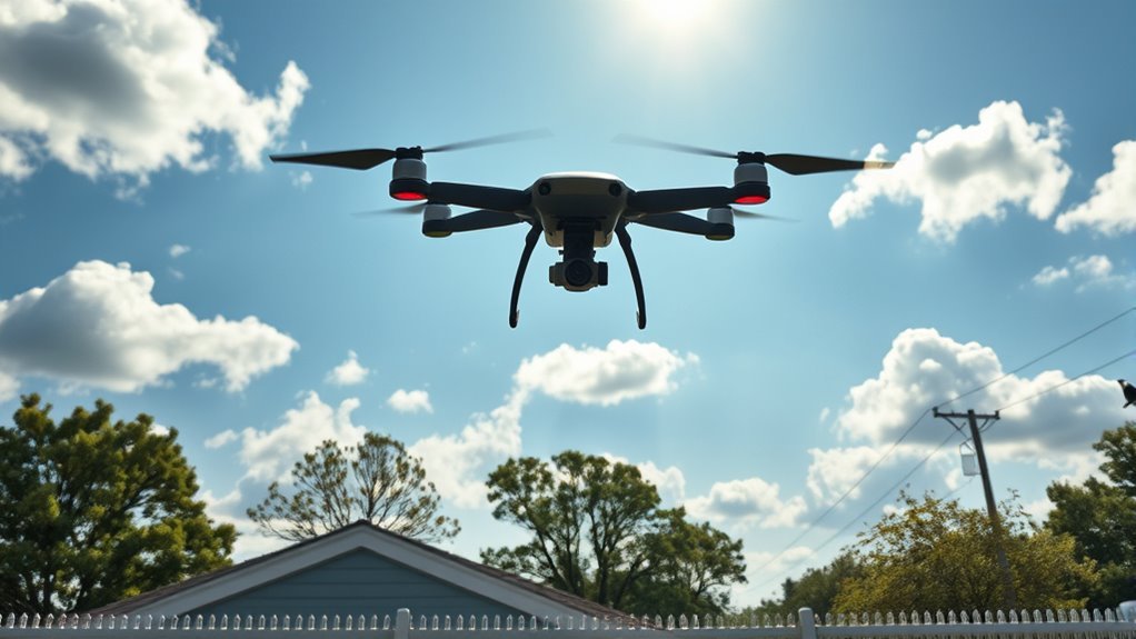
- Drone Deliveries: Companies are increasingly using drones to deliver packages quickly and efficiently, reducing the time it takes for you to receive your online orders. The Amazon MK30, for example, is designed to optimize delivery efficiency with its advanced autonomous navigation and capable range.
- Neighborhood Monitoring: Drones can enhance security by monitoring your neighborhood, acting as an extra pair of eyes to deter crime and guarantee safety.
- Event Coordination: During local events or emergencies, drones can help coordinate activities and provide real-time updates to residents.
Additionally, advancements in drone delivery technology are driving companies to innovate and enhance their services, making them more reliable and efficient. Understanding these uses can help you feel more informed about those buzzing machines above, turning potential frustration into awareness of their benefits.
Aerial Photography and Filmmaking
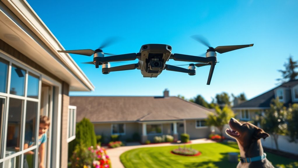
Aerial photography and filmmaking have transformed the way you can capture stunning landscapes and unique perspectives. Drones enable creative storytelling techniques that were once limited to traditional filmmaking methods. As these devices hover above, they offer a fresh viewpoint that can enhance both personal projects and professional productions. Additionally, the use of drones equipped with 42MP cameras allows for superior resolution, ensuring intricate details are captured in every shot.
Capturing Stunning Landscapes
Have you ever wondered how drones are revolutionizing the world of landscape photography and filmmaking? By utilizing drone angles, you can capture breathtaking views that were previously unattainable. This technology opens up new possibilities for landscape composition, allowing you to frame nature’s beauty from above.
Here are three ways drones enhance landscape photography:
- Unique Perspectives: Drones provide aerial shots that showcase the vastness and complexity of landscapes, revealing patterns and textures.
- Dynamic Range: Their ability to fly at various altitudes allows for stunning variations in lighting and shadow, enriching your visual storytelling.
- Accessibility: With drones, remote locations become accessible, offering a chance to document hidden gems without extensive trekking.
Embrace the freedom drones offer and elevate your landscape photography.
Unique Perspectives Offered
While you might be familiar with traditional photography techniques, the unique perspectives offered by drone technology can transform how you visualize and capture landscapes. Drones provide a bird’s-eye view, allowing you to experience scenes from angles previously inaccessible. This shift in perspective not only enriches personal photography but also plays an essential role in fostering drone culture within your community. As more people embrace these aerial tools, you’re likely to see an increase in local projects that highlight environmental changes or urban development. The community impact is significant, as drone imagery can spark discussions about conservation and planning. By leveraging this technology, you’re participating in a movement that encourages creativity and freedom in capturing the world from above.
Creative Storytelling Techniques
The shift in perspective that drones provide not only enhances photography but also opens new avenues for storytelling in filmmaking. With aerial views, you can explore narrative techniques that draw viewers into imaginative scenarios, transforming ordinary scenes into enchanting tales. Here are three ways drones can revolutionize storytelling:
- Dynamic Angles: Capture breathtaking shots that standard cameras can’t reach, adding depth to your narrative.
- Emotional Impact: Use sweeping landscapes to evoke feelings, drawing audiences into the story’s mood.
- Contextual Storytelling: Provide broader context to scenes, allowing viewers to grasp the bigger picture of the narrative.
Real Estate and Property Surveys
If you’ve noticed a drone hovering over your property, it might be conducting a real estate or property survey. These drones can efficiently assess property boundaries and provide detailed aerial photography, making the surveying process quicker and more accurate. Understanding the purpose behind these aerial operations can help clarify your property rights and potential developments in your area. Additionally, the use of multispectral cameras allows for enhanced data collection on property conditions, further aiding in informed decision-making for potential buyers and sellers. Drones like the Wingtra One, known for its high-resolution sensors, are particularly effective for these types of surveys, ensuring precision in mapping and data gathering.
Property Boundary Assessments
Understanding property boundary assessments is essential, especially when you notice a drone hovering over your house. These assessments clarify property lines and guarantee your rights are respected. Drones are increasingly used for aerial surveys, providing an efficient way to gather data.
Here are three key factors to evaluate:
- Accuracy: Aerial surveys can pinpoint exact property lines, minimizing disputes with neighbors.
- Documentation: These assessments produce legal documents that establish boundaries, essential for any future transactions.
- Value: Knowing your property boundaries can enhance your property’s value by avoiding potential legal issues.
Being aware of these aspects can empower you as a property owner, helping you navigate your rights while maintaining your freedom.
Aerial Photography Benefits
Aerial photography offers numerous advantages for real estate and property surveys, particularly in an era where precision and visual documentation are paramount. By utilizing innovative photography techniques, you can capture detailed, high-resolution images that provide insights into property conditions, layouts, and surrounding environments. This not only enhances marketing efforts but also assists in accurate assessments.
| Benefit | Description | Aerial Creativity |
|---|---|---|
| Visual Appeal | Stunning visuals attract potential buyers. | Unique perspectives make listings stand out. |
| Efficiency | Quick data collection saves time. | Drones cover large areas in minutes. |
| Accuracy | Precise measurements reduce errors. | High-resolution images guarantee clarity in details. |
| Versatility | Useful for various property types. | Adaptable techniques fit different surveying needs. |
Embracing aerial photography can revolutionize your property evaluations and listings.
Agricultural Monitoring and Crop Analysis
Drones have emerged as invaluable tools in agricultural monitoring and crop analysis, revolutionizing how farmers assess their fields. You might wonder how these flying devices can enhance your farming practices. Here are three key benefits:
- Crop Health Assessment: Drones can capture high-resolution images, allowing you to identify areas of stress or disease before they become critical.
- Yield Prediction: By analyzing crop data, drones help predict yields more accurately, enabling you to make informed decisions about resource allocation.
- Field Mapping: They create detailed maps that assist in planning and managing irrigation and fertilization.
With these advancements, you can take control of your farming operations, making them more efficient and productive, ultimately supporting your desire for autonomy in agricultural practices. Additionally, advanced stabilization technology in drones enhances image clarity, which is crucial for precise crop monitoring.
Law Enforcement and Surveillance
While agricultural applications showcase the versatility of drones, their use in law enforcement and surveillance has sparked significant interest and debate. As you navigate these concerns, it’s essential to reflect on the implications of drone policy and surveillance ethics on your freedom. Law enforcement’s ability to monitor without consent raises questions about privacy and accountability. Furthermore, understanding federal guidelines is crucial for recognizing the legal framework surrounding drone operations. Additionally, the integration of AI adaptation techniques can refine surveillance processes to enhance accountability and transparency.
| Pros | Cons |
|---|---|
| Enhanced public safety | Erosion of privacy rights |
| Rapid response to emergencies | Potential for abuse |
| Evidence gathering | Lack of regulatory oversight |
The balance between safety and individual rights is delicate. As drones become commonplace, you must stay informed and advocate for policies that protect your freedoms.
Environmental Research and Conservation
As environmental challenges intensify, the role of drones in research and conservation efforts has become increasingly essential. These aerial devices are proving invaluable for effective environmental monitoring and drone conservation strategies. Here are three key ways drones are making a difference:
- Habitat Assessment: Drones can quickly gather data on ecosystems, identifying changes in vegetation or wildlife habitats.
- Wildlife Tracking: Equipped with advanced sensors, drones monitor animal movements, helping researchers protect endangered species.
- Pollution Detection: Drones can survey land and water bodies, identifying pollution sources and enabling timely interventions. Additionally, real-time data from drone flights can enhance the accuracy of environmental assessments, leading to more informed conservation strategies.
Privacy Concerns and Legal Implications
As you notice a drone hovering above your property, it’s natural to wonder about your privacy rights. There are specific legal regulations governing drone usage, which aim to balance personal privacy with technological advancements. Understanding these laws can help you determine if your rights are being infringed upon.
Legal Regulations on Drones
Given the rapid rise of drone usage in residential areas, understanding the legal regulations surrounding them is essential for protecting your privacy. Drone regulations can vary greatly depending on your location, but some common airspace rules apply universally. Here are three key points to reflect on:
- Altitude Restrictions: Drones typically must operate below 400 feet in uncontrolled airspace to avoid conflicts with manned aircraft.
- No-Fly Zones: Certain areas, like near airports and military bases, are off-limits for drone flights, ensuring public safety.
- Privacy Laws: While flying drones, operators must respect personal privacy and avoid capturing images or videos of individuals without consent.
Staying informed about these regulations can help you navigate the complexities of drone usage in your neighborhood.
Personal Privacy Rights
Understanding the legal regulations on drones is just the beginning when it comes to personal privacy rights. While drone regulations aim to control how and where drones operate, they often fall short in protecting you from potential privacy invasions. You might not realize that many drones are equipped with cameras capable of capturing images or videos of your private property without your consent. This raises significant concerns about your right to privacy. As drone technology evolves, it’s essential to stay informed about your rights and the legal landscape surrounding drone use. Advocating for clearer regulations can help safeguard your privacy, ensuring that your freedom isn’t compromised by intrusive surveillance. Are you prepared to defend your personal space against these airborne observers?
How to Identify the Purpose of a Drone
How can you determine what a drone hovering over your house is up to? Identifying its purpose can be tricky, but you can use several drone identification methods to gather clues. Here are three key drone purpose clues to evaluate:
Identifying a drone’s purpose can be challenging, but sound, movement, and visual features offer valuable clues.
- Sound: Listen for distinctive sounds. Drones often produce a buzzing noise that can help you gauge their size and type.
- Altitude and Movement: Observe how high it flies and its movement patterns. A stationary drone might indicate surveillance, while one moving in a pattern may be mapping or capturing video.
- Visual Features: Look for any distinguishing features like lights or cameras. These can hint at whether it’s for recreational use or more serious activities. Additionally, knowing the drone’s advanced camera capabilities can help you understand what kind of footage it might be capturing.
What to Do If a Drone Disturbs Your Privacy
If you find a drone hovering near your home and feel your privacy is being invaded, it’s important to take action rather than simply dismissing it as an annoyance. First, familiarize yourself with drone etiquette; many operators are unaware of privacy expectations and may not intend to intrude. If the drone persists, document its activity, noting the time, location, and any identifiable features. This information can be helpful if you decide to report the situation to authorities. Consider speaking directly to the operator if you can identify them—sometimes a friendly conversation can resolve the issue. Ultimately, stay informed about local regulations regarding drone use; knowing your rights can empower you to protect your privacy effectively. Additionally, be aware that obtaining explicit consent from homeowners is an important step in ensuring respectful drone operation.
Frequently Asked Questions
Can I Fly My Own Drone Near My House?
You can fly your own drone near your house, but you must adhere to drone regulations. Always prioritize personal safety and respect your neighbors’ privacy to guarantee a harmonious experience for everyone involved.
How Can I Report a Nuisance Drone?
When a nuisance drone hovers like an unwelcome shadow, you might want to explore reporting procedures. Contact local authorities or aviation regulators, providing details like location and behavior, ensuring your concerns are heard and addressed.
Are Drones Allowed to Fly at Night?
Drones can fly at night, but you’ve gotta follow night flying regulations and drone safety guidelines. Make certain the drone’s equipped with proper lighting and avoid flying near populated areas to maintain safety and compliance.
What Should I Do if a Drone Crashes on My Property?
If a drone crashes on your property, think of it as a fallen bird. Assess for property damage, then contact local authorities or the owner for drone recovery. Document everything for insurance purposes, if needed.
How Can I Protect My Yard From Drone Surveillance?
To protect your yard from drone surveillance, consider installing privacy measures like fences or tall plants. Additionally, drone detection systems can alert you to unauthorized drones, empowering you to maintain your personal space and freedom.
