
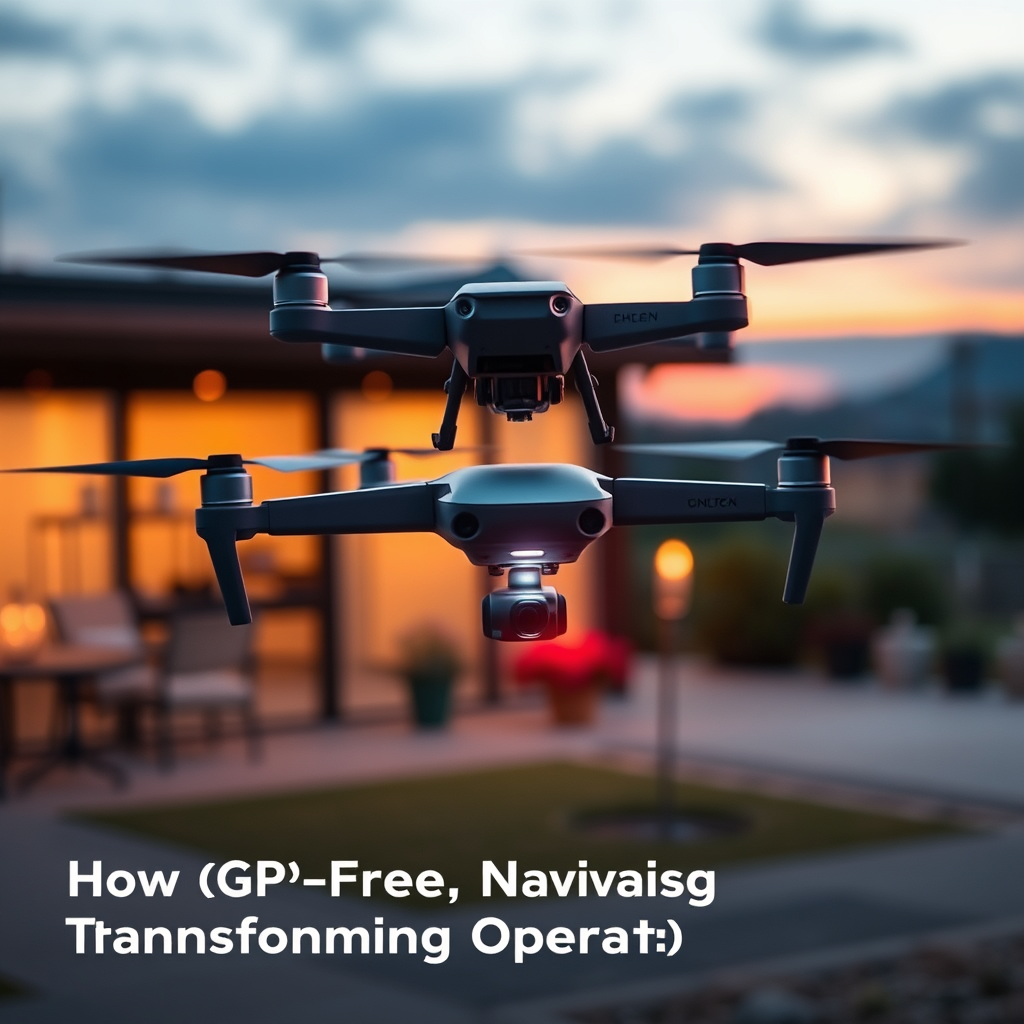
Navigating drones without GPS is revolutionizing aerial operations by significantly enhancing precision, reliability, and versatility in varied environments. This shift away from reliance on GPS is driven by innovative technologies, including visual odometry and simultaneous localization and mapping (SLAM), which offer improved navigation capabilities in scenarios where GPS signals may be weak or entirely unavailable. As these technologies gain traction, they are reshaping how industries utilize drones for a variety of applications, from search and rescue missions to agricultural monitoring.
The Rise of GPS-Free Navigation Technologies

The advancement of alternative navigation methods, such as visual odometry and SLAM, has paved the way for GPS-free drone navigation. Visual odometry enables drones to determine their position and orientation by analyzing sequential images captured by onboard cameras, while SLAM allows drones to construct a map of their surroundings while simultaneously tracking their own location within that map. Both methods rely heavily on sensors and computer vision, allowing drones to navigate complex environments with remarkable accuracy.
One of the key benefits of employing sensors and computer vision technologies is the enhanced accuracy they provide in detecting obstacles and understanding the surrounding terrain. These systems can leverage multiple data points—from images, depth sensors, and inertial measurement units (IMUs)—to create a more comprehensive understanding of the drone’s operational environment. As a result, drones can perform tasks more effectively, even in conditions where GPS is unreliable, such as in dense urban areas, indoors, or under heavy foliage.
Applications in Challenging Environments

GPS-free navigation significantly enhances drone utility in urban and indoor settings where GPS signals are often obstructed or entirely absent. In urban areas, for example, skyscrapers and other structures can create challenging conditions for GPS signals, leading to potential navigational errors. Drones equipped with GPS-free navigation systems can maneuver through these environments with greater confidence, making them indispensable for tasks like infrastructure inspection and delivery services.
The agricultural sector is another area where GPS-free navigation is making a substantial impact. Drones are increasingly used for crop monitoring, precision agriculture, and livestock management. In scenarios where GPS signals may be weak, such as in densely planted fields or remote areas, GPS-free systems enable farmers to gather critical data on crop health and resource allocation. Moreover, during search and rescue operations, drones equipped with GPS-free navigation can quickly and accurately navigate through dense forests or disaster-stricken areas, assisting first responders in locating victims more efficiently.
Improving Safety and Reducing Risk
A significant advantage of GPS-free navigation is its capacity to minimize the risk of signal loss, a critical concern for drone operations. GPS signal loss can occur in various situations, such as flying in urban canyons or during inclement weather, leading to potential operational failures or crashes. By relying on alternative navigation methods, drones can maintain their operational integrity even when GPS signals are compromised.
Additionally, redundancy plays a crucial role in navigating without GPS, particularly for critical missions. Many GPS-free systems incorporate multiple sensors and algorithms, allowing drones to cross-reference data from various sources to maintain accurate positioning. This redundancy not only enhances safety but also increases the reliability of drone operations in high-stakes scenarios, such as emergency response or hazardous material management.
Cost-Effectiveness and Accessibility
The financial implications of adopting GPS-free navigation systems are noteworthy. Traditional GPS systems can entail significant costs, especially for high-precision applications that require advanced equipment. In contrast, GPS-free systems utilizing off-the-shelf sensors and computer vision technologies can be more cost-effective, allowing businesses to reduce operational expenses while still achieving high levels of performance.
Moreover, as these technologies become more accessible, hobbyists and small businesses can leverage GPS-free navigation capabilities without the need for expensive GPS infrastructure. The democratization of drone technology means that a wider range of users can benefit from advanced navigation systems, enhancing creativity and innovation across various sectors. As a result, we are likely to see a surge in new applications and use cases as these technologies become more widespread and affordable.
Future of Drone Operations Without GPS
Looking ahead, the future of drone operations without GPS appears promising. Advancements in navigation technology are expected to continue, driven by ongoing research and development efforts focused on enhancing the capabilities of sensors, computer vision, and artificial intelligence. These developments will likely lead to more sophisticated, autonomous drone systems capable of operating effectively in even the most challenging environments.
As the technology evolves, so too will the regulatory landscape surrounding drone operations. Emerging regulations and standards will likely address the unique challenges presented by GPS-free navigation, ensuring safety and accountability in the burgeoning drone market. Policymakers will need to consider the implications of these advancements, particularly concerning airspace management and integration with existing air traffic systems.
Challenges and Limitations
Despite the many advantages of GPS-free navigation, there are still challenges and limitations that must be addressed for broader adoption. One of the primary hurdles is the need for robust algorithms that can accurately process data from multiple sensors in real-time. The complexity of integrating different technologies, such as computer vision, IMUs, and LiDAR, can pose significant technical challenges that require ongoing research and development.
Furthermore, while GPS-free systems can perform exceptionally well in specific environments, they may struggle in others. For instance, adverse weather conditions, such as heavy rain or fog, can hinder the effectiveness of visual odometry and other sensor-based navigation methods. As such, ongoing innovation will be crucial to develop adaptable systems capable of overcoming these limitations.
In conclusion, the emergence of GPS-free navigation technologies is transforming drone operations by significantly enhancing their functionality and safety across diverse environments. As these technologies continue to evolve, they promise to open up new possibilities for both commercial and recreational drone users. By addressing the challenges and limitations inherent in GPS-free navigation, industries can harness the full potential of these innovative systems, ultimately leading to safer, more efficient, and versatile drone operations.
Frequently Asked Questions
What are the benefits of GPS-free navigation for drone operations?
GPS-free navigation offers several advantages for drone operations, including increased reliability in challenging environments where GPS signals may be weak or unavailable, such as urban canyons or dense forests. It also enhances privacy and security by reducing the risk of GPS spoofing, and allows for more precise maneuvering in complex tasks, such as infrastructure inspections or search and rescue missions. Furthermore, it can lead to improved safety as drones can navigate autonomously without reliance on external signals.
How does GPS-free navigation work in drones?
GPS-free navigation typically employs a combination of sensors, including LiDAR, cameras, and inertial measurement units (IMUs), to provide real-time spatial awareness. These technologies enable drones to create detailed maps of their surroundings and perform simultaneous localization and mapping (SLAM). By integrating data from these sensors, drones can accurately determine their position and navigate through environments without the need for GPS, making them more versatile for various applications.
Why is GPS-free navigation becoming essential for certain industries?
As industries such as agriculture, construction, and emergency response increasingly rely on drones, the limitations of GPS in specific scenarios have become apparent. GPS-free navigation is essential in settings where precision is critical, such as inspecting high-value assets or operating in remote areas with limited satellite coverage. Moreover, industries are recognizing the need for drones to operate autonomously and effectively in complex environments, which GPS-free systems can facilitate, thus enhancing operational efficiency.
Which technologies are leading the way in GPS-free drone navigation?
Several technologies are at the forefront of GPS-free drone navigation, including computer vision, simultaneous localization and mapping (SLAM), and advanced sensor fusion techniques. Companies are also exploring the use of visual-inertial odometry (VIO), which combines data from cameras and IMUs to improve accuracy and reliability. Additionally, advancements in artificial intelligence and machine learning are enabling drones to better interpret their surroundings, allowing for safer and more efficient navigation without GPS.
What are the challenges of implementing GPS-free navigation in drones?
While GPS-free navigation presents many benefits, it also comes with challenges such as increased complexity in software development and the need for high-quality sensors to ensure accurate data collection. Environmental factors, like changing light conditions or obstacles, can also affect sensor performance. Additionally, integrating multiple technologies for seamless operation requires significant engineering efforts, making the deployment of GPS-free systems potentially more expensive and technically demanding compared to traditional GPS-based navigation.
References
- https://en.wikipedia.org/wiki/Drone_navigation
- https://www.reuters.com/technology/what-is-gps-free-navigation-drones-2021-09-17/
- https://www.nist.gov/news-events/news/2021/11/nist-research-improves-drone-navigation-using-alternative-gps-methods
- https://www.sciencedirect.com/science/article/pii/S2352152X21004647
- https://www.wired.com/story/drone-navigation-using-visual-sensors/
- https://www.nasa.gov/feature/nasa-develops-advanced-navigation-systems-for-drones
- https://www.techxplore.com/news/2021-05-drone-gps-free-navigation.html
