
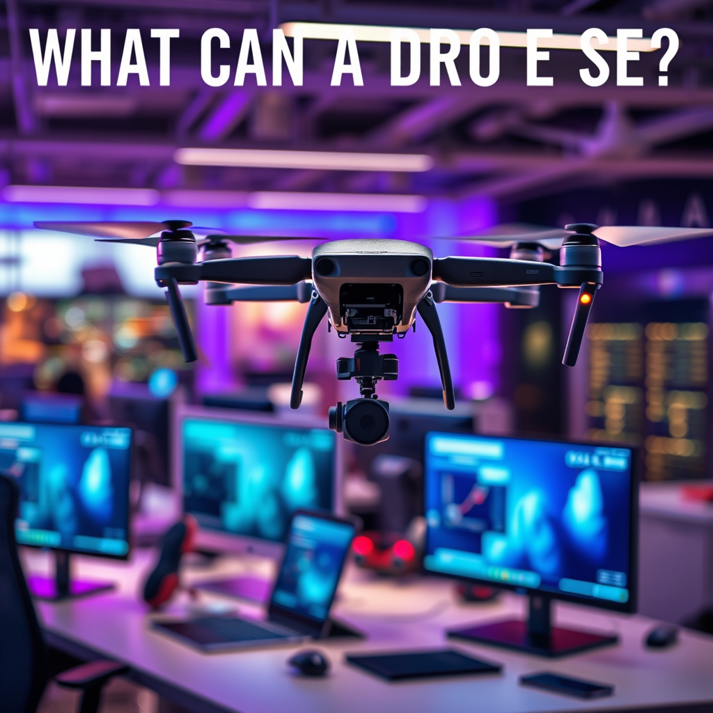
Drones can capture a wide range of visual data, including high-resolution images, videos, and thermal imaging, depending on their sensors and equipment. This capability allows them to be used in various fields such as photography, agriculture, surveillance, and disaster management. Understanding what a drone can see is crucial for maximizing its potential. By leveraging these advanced imaging technologies, industries can enhance operational efficiency, improve safety, and gain insights that were previously unattainable.
Aerial Photography and Videography

Drones equipped with high-quality cameras can capture stunning aerial images and videos, transforming traditional photography and videography methods. Their ability to soar to great heights and navigate through difficult terrains allows them to provide unique perspectives that were once limited to costly helicopter flights or extensive ground setups. In real estate, for example, drone footage offers potential buyers a comprehensive overview of properties, highlighting amenities and surroundings that ground-level photography simply cannot convey.
In the wedding industry, drones have become increasingly popular for creating cinematic videos that capture the entirety of events from above, adding a dramatic flair to wedding films. Promotional content for businesses also benefits from aerial footage, as it can showcase locations, events, and products in a visually compelling manner. As technology advances, drones can now shoot in 4K resolution and even incorporate features like automated tracking or obstacle avoidance, further enhancing their utility in aerial photography and videography.
Agricultural Monitoring
Drones can assess crop health using multispectral imaging, a technique that captures data at different wavelengths beyond the visible spectrum. This technology allows farmers to identify areas of their fields that require attention, such as those suffering from pest infestations or nutrient deficiencies. By analyzing this data, farmers can make informed decisions on where to focus their resources, leading to more efficient use of fertilizers and pesticides.
In precision agriculture, drones play a pivotal role by providing real-time data on irrigation, soil variability, and crop stress. For instance, a drone equipped with an NDVI (Normalized Difference Vegetation Index) sensor can generate detailed maps that indicate plant health across large fields, enabling farmers to optimize their irrigation systems. This not only conserves water but also improves crop yields. Furthermore, the ability to conduct aerial surveys allows for timely interventions, ensuring crops are healthy throughout their growth cycles.
Search and Rescue Operations
Equipped with thermal imaging cameras, drones can locate missing persons in challenging terrains or during disasters, making them invaluable tools for search and rescue operations. These drones can detect body heat, allowing rescuers to locate individuals who may be trapped in dense forests, mountains, or disaster-stricken areas where visibility is compromised.
In real-time aerial surveillance, drones provide crucial situational awareness to rescue teams. For instance, during natural disasters such as floods or earthquakes, drones can quickly survey affected areas, identifying safe routes and locating survivors. This data enables rescue teams to plan and execute their operations more effectively, ultimately saving lives. The integration of drones into emergency response protocols has revolutionized the way organizations approach search and rescue missions, enhancing both speed and efficiency.
Infrastructure Inspection
Drones can inspect hard-to-reach structures like bridges, power lines, and wind turbines safely and efficiently. Equipped with high-resolution cameras and advanced sensors, these drones provide detailed images and data that help identify maintenance needs without disrupting operations. For example, utility companies use drones to inspect power lines for wear and tear, reducing the need for manual inspections that can be time-consuming and dangerous.
The ability to conduct thorough inspections from the air minimizes the risks associated with climbing or scaffolding while delivering data that is not only timely but also highly accurate. In civil engineering, drones can monitor construction sites, ensuring compliance with safety regulations and detecting potential issues before they escalate. This proactive approach to infrastructure management not only saves costs but also extends the lifespan of critical assets.
Wildlife Conservation
Drones are used to monitor wildlife populations and track movements without disturbing their natural habitats. By utilizing aerial surveillance, conservationists can gather data on animal behavior, migration patterns, and population dynamics in ways that traditional methods cannot match. For example, drones can be deployed in remote areas to monitor endangered species, allowing researchers to collect data without physically intruding on the animals’ environment.
In anti-poaching efforts, drones have proven invaluable. They can cover vast areas quickly, providing real-time data on illegal activities and enabling law enforcement agencies to respond more effectively. By integrating drones into wildlife management strategies, organizations can enhance conservation efforts, protect endangered species, and maintain biodiversity.
Environmental Monitoring
Drones can collect data on environmental changes, such as deforestation, pollution levels, and habitat destruction, offering researchers valuable insights into ecological shifts. For instance, drones equipped with multispectral sensors can monitor forest health and deforestation rates, allowing conservationists to identify areas that require immediate attention. The ability to capture high-resolution imagery over time enables the assessment of land-use changes and their impacts on local ecosystems.
Moreover, drones are valuable tools for researchers studying climate change and its effects. They can gather data on temperature fluctuations, carbon emissions, and water quality in hard-to-access locations, contributing to a more comprehensive understanding of environmental issues. By employing drones in environmental monitoring, scientists can enhance their research capabilities, leading to more informed policymaking and effective conservation strategies.
In conclusion, drones have diverse capabilities that allow them to see and capture information across various sectors. By understanding what a drone can see, individuals and organizations can leverage this technology to enhance efficiency and effectiveness in their operations. Whether in agriculture, emergency response, infrastructure inspection, wildlife conservation, or environmental monitoring, the potential applications of drones are vast and transformative. Explore the potential of drones and consider integrating them into your projects for improved results, ultimately shaping a more efficient and sustainable future.
Frequently Asked Questions
What types of cameras can drones use to see different environments?
Drones can be equipped with a variety of cameras, including standard RGB cameras, thermal imaging cameras, and multispectral cameras. Standard cameras capture high-resolution images and videos, ideal for aerial photography and videography. Thermal cameras detect heat, making them suitable for tasks like search and rescue, wildlife monitoring, and even building inspections. Multispectral cameras are used in agriculture for crop analysis, as they can capture data in specific wavelengths that indicate plant health.
How far can a drone see with its camera?
The distance a drone can see depends on several factors, including the camera’s resolution, lens type, and environmental conditions. Typically, consumer drones with high-definition cameras can capture clear images up to several miles away, but factors like altitude and visibility can affect this range. However, regulations often limit drone operations to a visual line of sight, usually around 400 feet above ground level, which also impacts how far a drone can “see” in practice.
Why do drones have different viewing capabilities?
Drones possess varying viewing capabilities due to differences in camera technology, sensor types, and their intended applications. For instance, drones designed for aerial photography typically have high-resolution cameras for stunning visuals, while those used in agriculture might have multispectral sensors to analyze vegetation health. Additionally, factors such as lens quality and stabilization systems influence how well a drone can capture images or video in different environments and conditions.
What are the best drones for capturing high-quality aerial images?
Some of the best drones for capturing high-quality aerial images include the DJI Mavic 3, DJI Air 2S, and Autel Robotics EVO Lite+. These drones are equipped with high-resolution cameras, advanced stabilization systems, and user-friendly controls, making them suitable for both amateur and professional photographers. When selecting a drone, consider factors like camera quality, flight time, and ease of use to ensure it meets your specific photography needs.
Which drones are best for thermal imaging and what can they see?
Drones like the DJI Matrice 300 RTK and the Parrot Anafi Thermal are among the best options for thermal imaging, as they come equipped with specialized thermal cameras that can detect heat signatures. These drones are valuable for applications such as building inspections, electrical assessments, and search and rescue operations. They can effectively identify heat leaks in structures, monitor wildlife activity, and even locate missing persons by detecting their body heat in various environments.
References
- https://en.wikipedia.org/wiki/Drone
- https://www.faa.gov/uas/
- https://www.nasa.gov/mission_pages/earthscience/techniques/drones.html
- https://www.sciencedirect.com/science/article/pii/S2352864818302210
- https://www.reuters.com/article/us-usa-drones-insight-idUSKBN1ED1G0
- https://www.nationalgeographic.com/science/article/drones-are-transforming-science
- https://www.techrepublic.com/article/how-drones-are-revolutionizing-the-way-we-work/
- https://www.bbc.com/future/article/20200707-how-drones-are-changing-the-way-we-see-the-world
