
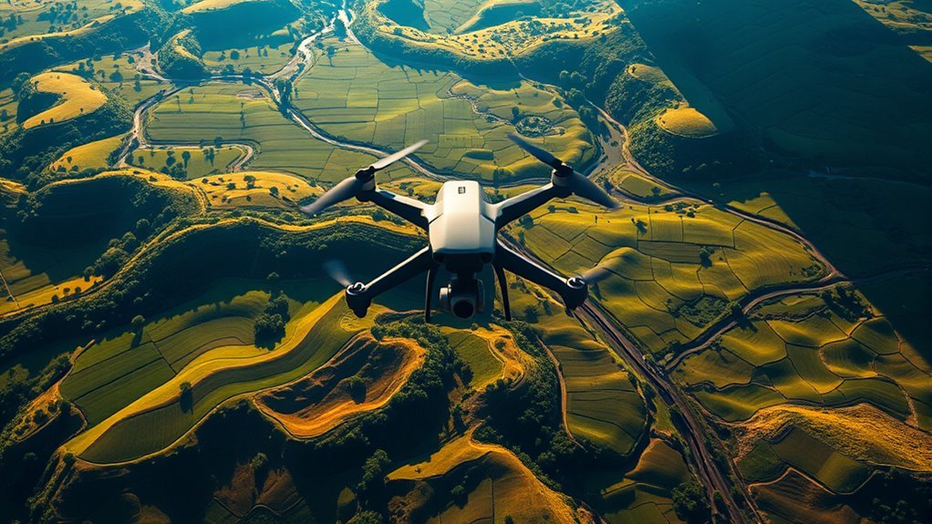
Drones help you capture highly accurate geospatial data with centimeter-level precision using advanced GPS and photogrammetry, speeding up surveys by covering expansive areas in hours instead of days. You can access difficult terrain safely and produce high-resolution orthomosaic maps through automated image stitching. This technology cuts costs by reducing labor and equipment needs, while integrating seamlessly with GIS platforms for detailed spatial analysis. Exploring further reveals how drones transform cartography across diverse applications.
Enhancing Data Accuracy With Drone Technology
Although traditional mapping methods have laid the groundwork for cartography, drone technology considerably enhances data accuracy by capturing high-resolution aerial imagery and precise geospatial measurements. When you deploy drones for aerial surveying, you leverage drone precision that surpasses many conventional techniques, reducing positional errors to mere centimeters. This level of accuracy stems from advanced GPS integration, inertial measurement units, and sophisticated photogrammetry software that processes overlapping images into detailed 3D models. You can freely access intricate terrain features and subtle landscape changes without ground interference, ensuring data integrity. By relying on drones, you gain control over flight paths and sensor calibration, resulting in consistent, repeatable data sets essential for high-fidelity maps. This precision empowers you to make informed decisions based on reliable spatial data, unshackling you from traditional cartographic constraints.
Speeding Up Surveying and Data Collection
When you deploy drones in surveying, you greatly reduce the time required for data collection compared to traditional ground-based methods. Drones can cover vast areas quickly, capturing high-resolution images and geospatial data with precision. Their ability to provide real time monitoring enables you to immediately assess survey progress and make adjustments on the fly, minimizing downtime. Automated mapping software processes the collected data rapidly, generating accurate topographic maps and 3D models without manual intervention. This integration of drone technology streamlines workflows, cutting data acquisition from days or weeks to mere hours. By embracing these advancements, you gain operational freedom, reduce costs, and accelerate project timelines, ensuring your cartographic outputs remain both timely and precise in dynamic environments.
Accessing Difficult and Remote Terrain
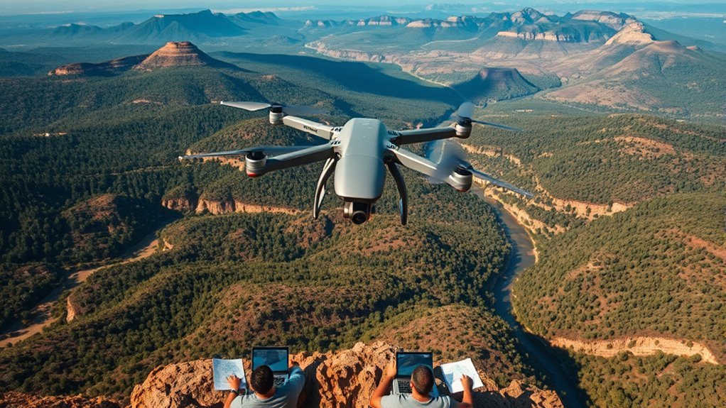
Since traditional surveying methods often struggle with inaccessible or hazardous locations, drones provide a critical advantage by reaching difficult and remote terrain efficiently. Using advanced drone navigation systems, you’re able to pilot UAVs over rugged landscapes where ground crews can’t safely or feasibly operate. These drones employ GPS-guided waypoint programming and obstacle detection sensors, ensuring precise flight paths through uneven topographies. This capability lets you capture high-resolution geospatial data without physical presence, reducing risk and expanding coverage. Additionally, drones can maintain stable flight in variable wind conditions common in remote areas, producing accurate elevation and surface models. By leveraging this technology, you gain the freedom to explore and map terrains previously off-limits, enhancing cartographic datasets with thorough, reliable information from the most challenging environments.
Reducing Costs Compared to Traditional Methods
You’ll find drones considerably cut costs by reducing the need for expensive traditional surveying equipment. They also lower labor expenses since fewer personnel are required to operate and monitor flights. Additionally, drones speed up data collection, which shortens project timelines and further reduces overall costs.
Lower Equipment Expenses
Three key factors contribute to the markedly lower equipment expenses of drones compared to traditional cartographic tools: affordability of drone hardware, reduced need for extensive ground support equipment, and streamlined data acquisition processes. By leveraging budget friendly technology, you gain cost effective solutions that minimize upfront and operational costs.
| Equipment Type | Traditional Cost ($) | Drone Cost ($) |
|---|---|---|
| Surveying Instruments | 15,000 | 1,200 |
| Ground Support Gear | 10,000 | 500 |
| Data Acquisition | 8,000 | 700 |
| Total | 33,000 | 2,400 |
This 93% reduction in equipment expenses empowers you with financial freedom to deploy mapping projects more frequently and flexibly.
Minimized Labor Requirements
Labor requirements for drone-based cartography can be reduced by up to 70% compared to traditional surveying methods. When you deploy drones equipped with advanced sensors, much of the data collection becomes automated mapping, drastically cutting down manual labor. This shift enables you to allocate fewer personnel in the field, enhancing labor efficiency without sacrificing data quality. Instead of coordinating large teams for ground surveys, you rely on a small group to manage drone operations and process the captured data. The automation embedded in drone systems not only trims personnel costs but also minimizes human error and fatigue, further improving productivity. Ultimately, this reduction in labor requirements translates into significant cost savings and grants you greater operational freedom in executing complex cartographic projects.
Faster Data Collection
Although traditional surveying methods can be time-consuming, drones accelerate data collection by capturing high-resolution imagery and geospatial data in a fraction of the time. You’ll benefit from streamlined workflows where data integration occurs seamlessly, combining multiple sensor outputs into unified datasets. This efficiency reduces field time and operational costs considerably. Additionally, drones enable real-time analysis, letting you process and evaluate data on-site, which speeds decision-making and minimizes the need for repeated flights. The resulting rapid data acquisition empowers you to cover larger areas with greater accuracy, enhancing mapping precision while maintaining budget constraints. By leveraging drone technology, you gain freedom from prolonged project timelines and costly manpower, ultimately delivering faster, more cost-effective cartographic solutions.
Creating High-Resolution Orthomosaic Maps
To create high-resolution orthomosaic maps, you need to capture overlapping aerial images with precise geotagging to guarantee detailed coverage. Advanced software then stitches these images seamlessly, correcting distortions and aligning features accurately. This process results in a spatially consistent, high-definition map suitable for detailed analysis and measurement.
Capturing Detailed Aerial Images
When capturing detailed aerial images, drones equipped with high-resolution cameras enable the creation of orthomosaic maps that combine hundreds to thousands of overlapping photos into a single, geometrically accurate image. You’ll rely on advanced aerial photography techniques to guarantee consistent overlap—typically 60-80% forward and side overlap—which is vital for accurate drone image processing. This precise overlap allows software to correct distortions and align images based on GPS metadata and ground control points. By controlling flight altitude, speed, and camera settings, you maximize spatial resolution and minimize motion blur, essential for data integrity. This method grants you the freedom to survey large areas quickly while producing scalable, high-detail orthomosaics, empowering precise spatial analysis and mapping beyond traditional constraints.
Stitching Images Seamlessly
Seamless stitching is the critical process that transforms hundreds of overlapping drone images into a single, high-resolution orthomosaic map. You rely on advanced photogrammetric techniques to guarantee precise image alignment, correcting for perspective distortions and varying illumination. These algorithms detect common features across images, aligning them pixel by pixel to create a geometrically accurate composite. The result is a map with consistent scale and minimal spatial error, essential for reliable cartographic analysis. By automating this process, you gain the freedom to cover expansive areas without compromising detail or accuracy. The orthomosaic’s high resolution enables detailed terrain assessment and planning, empowering you with data-driven insights. Mastering seamless stitching reveals the full potential of drone imagery, delivering thorough and actionable cartographic products.
Integrating Drone Data With Geographic Information Systems (GIS)
Although drone technology captures highly detailed spatial data, integrating this information accurately into Geographic Information Systems (GIS) requires rigorous preprocessing and calibration. You’ll need to perform drone integration by aligning georeferenced drone imagery with existing GIS layers, ensuring coordinate system compatibility. Precise orthorectification corrects distortions caused by terrain and camera angles, enabling accurate GIS analysis. By importing high-resolution digital elevation models (DEMs) and multispectral data from drones, you can enhance spatial datasets with up-to-date, high-accuracy inputs. Quality control steps, such as checking for positional errors and sensor drift, are essential to maintain data integrity. Once integrated, drone-derived data empowers you with granular spatial insights, facilitating advanced GIS queries and mapping applications while preserving your freedom to customize analyses based on evolving project requirements.
Supporting Environmental and Urban Planning Applications
With drone-derived data accurately integrated into GIS, you can leverage this information to support environmental monitoring and urban planning with unprecedented detail. High-resolution orthomosaics and 3D models enable precise analysis of urban ecology, allowing you to assess vegetation health, habitat fragmentation, and green space distribution efficiently. You can track changes in land use patterns over time, detecting unauthorized developments or shifts in natural resource allocation. This granular data supports data-driven decision-making for zoning, infrastructure development, and conservation efforts. By combining drone imagery with spatial analytics, you gain actionable insights that balance urban expansion with ecological preservation. Ultimately, drones empower you to design smarter, sustainable urban environments, enhancing freedom in planning while maintaining environmental integrity.
