
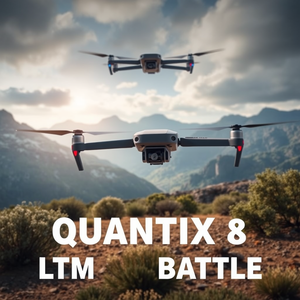
The AeroVironment Quantix and Wingtra One Gen II are both exceptional drones designed for reconnaissance, yet they cater to different operational needs and environments. The Quantix offers a nimble 1km radio range ideal for immediate reconnaissance, while the Wingtra One Gen II boasts a substantial 10km LTE capability that enhances operational flexibility and reach. This article will delve into their distinct features, advantages, and optimal use cases, providing a comprehensive comparison to help you determine which drone aligns best with your specific requirements.
Overview of AeroVironment Quantix

The AeroVironment Quantix is engineered for rapid deployment and user-friendly operation, making it an excellent choice for quick reconnaissance missions. This drone features a hybrid design that cleverly combines vertical takeoff and landing (VTOL) capabilities with the efficiency of a fixed-wing aircraft. Such a design allows it to operate in confined spaces while still covering substantial ground quickly.
Equipped with a suite of sensors and cameras, the Quantix can capture high-resolution imagery and process data in real time, providing users with actionable intelligence on the spot. Its intuitive control system further simplifies the piloting experience, enabling operators—regardless of their technical skill—to deploy the drone and gather data effectively. The Quantix is particularly well-suited for military, law enforcement, and emergency response scenarios where time is of the essence.
Overview of Wingtra One Gen II

In contrast, the Wingtra One Gen II focuses on high-precision mapping and surveying, making it a preferred choice for professionals in industries such as construction, agriculture, and environmental monitoring. Its unique wing design not only allows for extended flight times but also enables it to cover vast distances efficiently, making it an ideal tool for large-scale projects.
The Wingtra One Gen II comes equipped with a high-resolution camera capable of capturing detailed aerial imagery, suitable for generating orthomosaic maps and 3D models. Its user-friendly software integrates seamlessly with various mapping applications, ensuring that users can analyze and utilize the data collected effectively. This drone excels at providing comprehensive insights into terrain and land use, making it invaluable for urban planning, infrastructure development, and agricultural assessments.
Range Comparison: 1km Radio vs. 10km LTE
When evaluating the range capabilities of these two drones, the Quantix’s 1km radio range offers immediate reconnaissance but may limit operational scope in expansive areas. This short-range capability is sufficient for localized assessments and quick terrain analysis, where swift deployment is critical. However, for missions requiring broader coverage or extended operational periods, the Quantix may not be the most suitable option.
On the other hand, the Wingtra One Gen II’s 10km LTE capability significantly enhances its operational flexibility. This extended range allows operators to conduct longer missions without the need for constant line-of-sight control, making it particularly advantageous for large mapping projects or remote surveying. The LTE connectivity ensures reliable data transmission over great distances, enabling real-time insights and adjustments during flight. This capability is a game-changer for industries that require accurate data collection over extensive areas.
Image Quality and Data Collection
In terms of imaging capabilities, the AeroVironment Quantix excels with its high-quality cameras that provide real-time data processing. The drone captures detailed images during flight, enabling immediate analysis and decision-making. This feature is especially beneficial for emergency responders who require quick assessments of disaster-stricken areas or potential hazards.
Conversely, the Wingtra One Gen II offers superior image quality with its high-resolution cameras designed for mapping and surveying applications. The drone can capture detailed aerial imagery, which is crucial for generating accurate orthomosaic maps and 3D models. Its post-processing features, combined with powerful software, allow for comprehensive data analysis, making it a robust tool for professionals involved in land management, construction, and environmental studies. The Wingtra’s exceptional image quality ensures that users receive the most precise data possible for informed decision-making.
Use Cases and Ideal Applications
The AeroVironment Quantix is particularly effective in scenarios requiring quick assessments and terrain analysis. For example, during search and rescue operations, its rapid deployment and real-time data capabilities can provide critical information to responders, aiding in more effective navigation and resource allocation. Additionally, its ease of use makes it ideal for law enforcement and security applications, where immediate situational awareness is paramount.
In contrast, the Wingtra One Gen II shines in applications involving large-scale surveying and mapping projects. For instance, in agriculture, it can be employed to monitor crop health and optimize land use, providing farmers with essential data to enhance yield. Construction professionals can utilize the Wingtra for site surveys, tracking progress, and creating accurate topographical maps for planning and development. Its extended flight times and LTE capabilities make it perfect for these extensive and data-driven applications.
Pricing and Cost Considerations
When considering the investment in either drone, it’s crucial to evaluate not only the initial purchase price but also the associated operational expenses. The AeroVironment Quantix typically falls into a mid-range pricing bracket, making it accessible for organizations looking for a versatile reconnaissance tool. However, potential buyers should factor in costs related to training, maintenance, and any additional equipment required for specific missions.
The Wingtra One Gen II, while generally more expensive due to its advanced mapping capabilities, offers significant value for organizations that require high-precision data collection. The return on investment can be substantial when considering the efficiency and accuracy it brings to large-scale projects. Businesses operating in industries such as construction and agriculture can see a rapid payback period due to the enhanced productivity and reduced manual labor involved in traditional surveying methods.
User Experience and Support
Customer feedback plays a vital role in understanding the user experience associated with both drones. The AeroVironment Quantix is frequently praised for its intuitive controls and reliable performance in various conditions, making it a favorite among users who appreciate ease of use. However, some users have noted that while the drone is effective for quick missions, the limited range may be a drawback for more extensive projects.
On the other hand, the Wingtra One Gen II has garnered positive reviews for its performance in large-scale mapping and its advanced imaging capabilities. Users appreciate the detailed data quality and the comprehensive support provided by the manufacturer. Wingtra’s commitment to customer service, including training resources and community forums, ensures that users can maximize the potential of their drones. Such support is essential in a field where technology is constantly evolving.
The AeroVironment Quantix and Wingtra One Gen II each bring unique strengths to the table, catering to different needs in reconnaissance and surveying. The Quantix is ideal for immediate, localized assessments, while the Wingtra One Gen II excels in large-scale mapping and detailed data collection. By considering the range, image quality, use cases, and overall value, potential buyers can make an informed decision based on their specific requirements. For more detailed insights or to explore purchasing options, consider reaching out to a drone specialist today.
Frequently Asked Questions
What are the key differences in range between AeroVironment Quantix and Wingtra One Gen II?
The AeroVironment Quantix offers a radio communication range of 1 km, suitable for close-range reconnaissance and mapping tasks. In contrast, the Wingtra One Gen II utilizes LTE technology to extend its operational range up to 10 km, allowing for broader coverage areas and the ability to send real-time data over longer distances. This makes the Wingtra One Gen II particularly advantageous for larger surveys or when operating in remote areas.
How does the flight time of AeroVironment Quantix compare to Wingtra One Gen II?
The AeroVironment Quantix typically has a flight time of approximately 45 minutes, which is adequate for small to medium-sized survey tasks. However, the Wingtra One Gen II boasts a longer flight time of up to 59 minutes, enabling it to cover more ground in a single flight. This extended flight duration can lead to increased efficiency and reduced operational costs, particularly in larger projects.
Why is LTE communication an important feature for drone operators using the Wingtra One Gen II?
LTE communication is crucial for drone operators as it enables real-time data transmission over long distances, enhancing situational awareness and decision-making. This feature allows users to receive live telemetry and video feeds while the drone is in flight, which is particularly beneficial for monitoring and adjusting flight paths dynamically. Moreover, LTE connectivity can improve data reliability in areas where traditional radio signals may be weak or unreliable.
Which drone is better for surveying large agricultural areas, AeroVironment Quantix or Wingtra One Gen II?
For surveying large agricultural areas, the Wingtra One Gen II is generally the better choice due to its 10 km LTE range and longer flight time, which allows it to cover extensive fields more efficiently. Its vertical takeoff and landing (VTOL) capabilities also make it ideal for navigating varied terrain, while its advanced imaging technology provides high-resolution aerial data essential for precision agriculture. The AeroVironment Quantix, while effective for smaller tasks, may fall short in larger agricultural applications due to its limited range and shorter flight duration.
What are the optimal use cases for the AeroVironment Quantix versus the Wingtra One Gen II?
The AeroVironment Quantix is best suited for smaller, localized projects such as urban mapping or close-range inspections where a 1 km range is sufficient. Its ease of use and quick deployment make it ideal for rapid assessments. Conversely, the Wingtra One Gen II excels in large-scale surveying, construction site monitoring, and environmental assessments due to its extended range and enhanced data capabilities. Understanding these use cases helps operators choose the right drone based on their specific project needs.
References
- Drone
- https://www.nytimes.com/2021/09/21/technology/drones.html
- https://www.wired.com/category/science/drone/
- https://www.sciencedirect.com/topics/engineering/unmanned-aerial-vehicles
- https://www.reuters.com/technology/using-drones-aid-food-delivery-south-africa-2021-08-11/
- drones | TechCrunch
- Next Generation Combat Vehicles: As Army Prioritizes Rapid Development, More Attention Needed to …
- https://www.nasa.gov/press-release/nasa-s-uav-traffic-management-system-to-be-tested-in-2021