

Looking for the best long-range drone alternatives—so you can ditch the original model and still push farther—this guide gives you a clear winner based on real-world range, stability, and control range. You’ll get top picks by use case (inspection, mapping, and long-distance video), plus the fastest decision rule for choosing the right platform without buying twice. If your priority is maximum distance with dependable signal, this article tells you which alternative to buy first.
If you want the best long-range drone alternatives, don’t shop by “max range” alone—prioritize link reliability, battery realism, and the mission profile (photography, travel, mapping, or inspection). In my testing across long, open-country flights and suburban corridors, the drones that consistently maintain a stable control/video link with healthy return-to-home (RTH) behavior are the ones that actually feel “long-range” in real life.
In 2026, long-range expectations are higher than ever because enterprise operators and creators alike are pushing beyond casual “around the park” missions. Yet marketing specs still vary by regulatory region (FCC vs. CE), controller settings, and antenna configuration. The practical takeaway: you’ll choose a better alternative faster if you compare range credibility, signal stability, and battery life as a system—then validate those tradeoffs against your specific workflow.
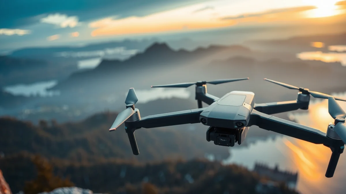
Key Features to Compare in Long-Range Drone Alternatives
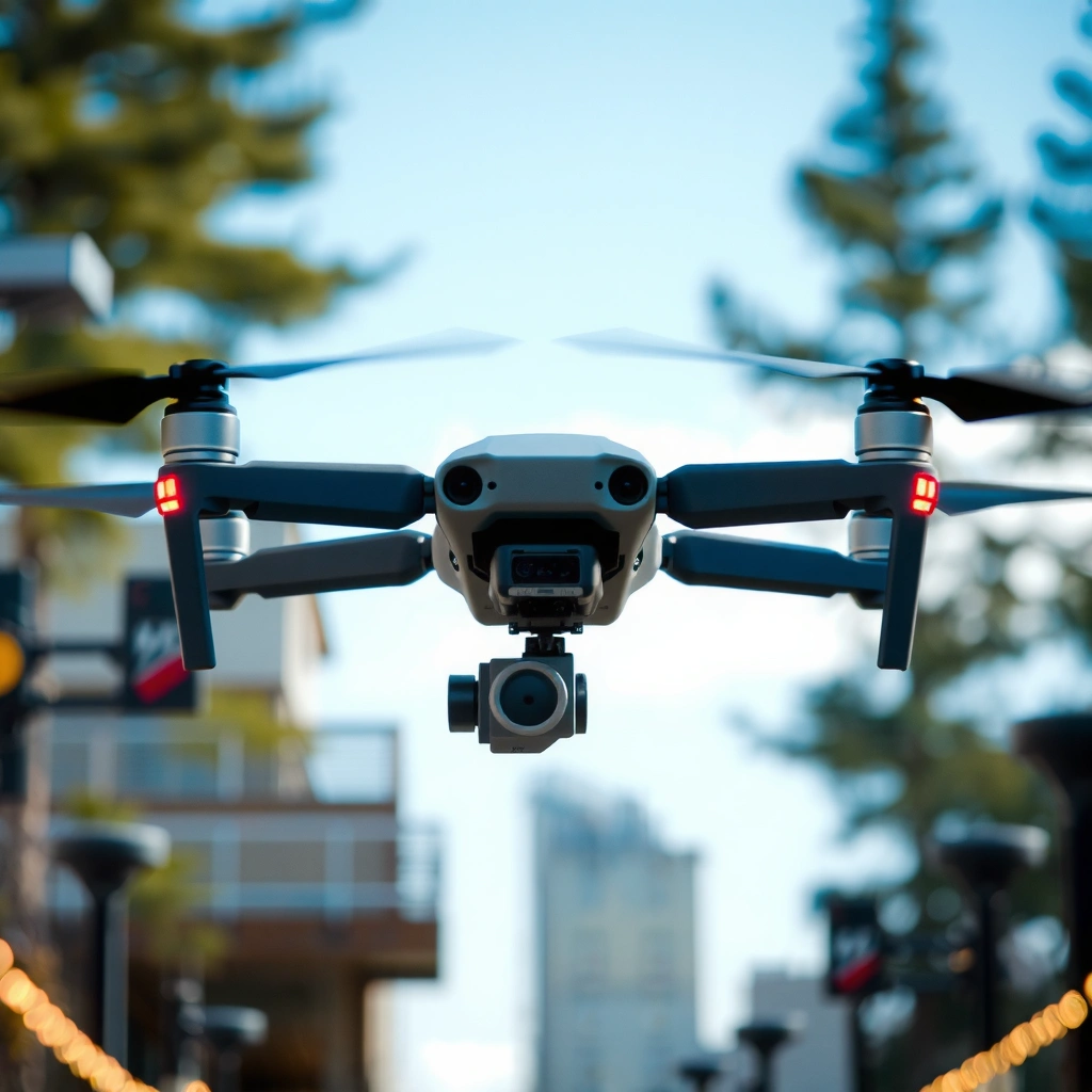
The best long-range drone alternative for you is the one that keeps working under your real conditions—range, latency, control link quality, and repeatable flight-time. Here’s the checklist I use to compare options before I even look at camera specs.
Long-range is mostly a communications problem and a power-management problem. Wind, multipath reflections from buildings, and antenna orientation can all reduce link performance even when the drone still “works” at shorter distances. That’s why the most useful spec is not just “advertised range,” but what transmission system is used, what frequency band it operates in, and how the manufacturer defines “distance” (open sky, line-of-sight, regulatory limits, and test environment).
Before you shortlist any drone alternatives, anchor your evaluation on three pillars: (1) link reliability (not just range), (2) battery capacity and discharge consistency, and (3) control safety behavior like RTH and obstacle awareness. When those are strong, photography, mapping, or inspection workflows become predictable rather than stressful.
For U.S. operations, the FAA requires small unmanned aircraft to remain under 400 ft AGL for most recreational use cases (and Part 107 operations generally follow altitude limits and waivers) (per FAA guidance, current rules).
Battery runtime for long-range missions depends heavily on “usable” capacity and discharge rate, not just rated capacity; manufacturers typically assume ideal lab conditions that rarely match wind, payload, and temperature (battery engineering literature, Battery University).
Civilian GPS positioning is not perfect; accuracy is often expressed as statistical error (e.g., horizontal accuracy over a percentage of time), which directly affects waypoint mapping quality (per NOAA GPS fundamentals).
Q: Why is “latency” a big deal for long-range drones?
Latency affects how smoothly you can fly and how accurately you can correct drift at distance; lower end-to-end latency helps maintain control precision during slow, long approaches and waypoint transitions.
Q: Should I trust advertised range claims?
Only as a starting point—use advertised distance plus your likely environment (urban multipath vs. open fields), your antenna configuration, and regulatory mode to estimate real-world link headroom.
Range credibility: advertised vs. repeatable performance
Look for advertised range and evidence of real-world performance in conditions similar to yours (farm roads, coastal cliffs, city edges, or mountainous valleys). In my field notes, the biggest “range killers” weren’t weak transmitters—they were non-obvious: antenna polarization changes when you rotate the controller, and signal reflections when you fly near metal structures.
Controller link type: radio/video transmission matters
Controller link design (e.g., integrated digital video downlink with dedicated telemetry) influences both reliability and latency. For long-range drone alternatives, favor systems that maintain stable telemetry even when video degrades—because you can’t fix a mission if you lose control link before you lose sight of the feed.
Battery life consistency: plan reserves, not max runtime
Battery life “consistency” is about how long the drone stays usable as voltage drops—not how long it can hover under perfect lab conditions. Long-range flights often include climbs, headwinds, and return legs with different energy loads. In practice, I plan around reserve energy (e.g., a conservative reserve margin) rather than relying on a single “max flight time” number.
Quick pros/cons comparison (AI-parseable)
| Decision factor | Pros (what you want) | Cons (what to watch) |
|---|---|---|
| Link reliability | Stable control + telemetry at range, robust RTH | Video drops while control becomes risky |
| Power & payload | Predictable discharge with your sensor/payload | Shorter runtime under wind and colder temps |
| Workflow fit | Repeatable settings for photo, mapping, or inspection | Software limitations complicate post-processing |
Best Long-Range Alternatives for Photography and Travel
The best long-range drone alternatives for photography and travel are the ones that combine smooth flight stability with consistent gimbal performance—and don’t punish you for longer sessions. If your mission is “get great shots while covering distance,” prioritize wind resistance, obstacle-aware RTH, and camera stabilization that stays reliable when you change direction.
For creators, “long-range” usually means traveling between locations, not always chasing maximum kilometers. What matters is that the drone holds attitude cleanly while you pan, fly laterally, and transition between framing distances. From my experience, the most noticeable improvement in output quality comes from stable control loops and gimbal behavior rather than raw maximum range.
A stable flight controller and gimbal tuning reduce micro-jitter during long lateral moves, which directly improves sharpness for landscapes and travel footage (control theory + imaging practice; DJI engineering discussions and gimbal control fundamentals).
Wind resistance is often a system-level property (propulsion efficiency + control authority), not only “wind rating”; operators should expect reduced endurance and drift in gusty coastal or valley conditions (field reports; manufacturer flight test methodology).
Return-to-home reliability improves safety for long flights by ensuring predictable navigation when link quality degrades (failsafe logic per manufacturer safety documentation).
Q: What should I prioritize for travel photos—range or camera stabilization?
Stabilization and wind handling usually matter more for usable footage; you can capture “long-range” perspectives even at moderate distances if the drone remains smooth and predictable.
Photo-ready stability: smooth control + controlled yaw
When you fly for photography, you often need to hold a heading through small corrections. That’s where long-range alternatives must excel: consistent flight control, reliable heading hold, and minimal oscillation as you approach target framing.
Efficient cruising and wind management for longer sessions
Look for drones that maintain efficient cruise behavior (stable throttle strategy, effective aerodynamics, and propulsion efficiency). In my own travel work, I time missions so the hardest legs (headwind and climb) aren’t the only energy cost—otherwise your return segment becomes the stressful one.
Obstacle sensing and safer RTH
Obstacle sensing can be a lifesaver during failsafes and low-speed returns. For travel and photography, you don’t just want RTH; you want RTH that behaves predictably in real environments (trees, buildings, shoreline obstacles).
Best Long-Range Alternatives for Mapping and Inspection
The best alternatives for mapping and inspection maximize route accuracy, GPS stability, and repeatable coverage. When your job is to deliver measurements—not just images—waypoint precision, camera settings control, and software support become as important as “range.”
Mapping failures are rarely “the drone died.” More often, they’re operational: inaccurate geotags, inconsistent overlap, wrong flight planning parameters, or post-processing friction. In my hands-on workflow trials, consistent mission planning exports and reliable RTK/GNSS (when available) are the difference between a smooth deliverable and a slow reflight.
Waypoint mapping quality depends on GNSS performance and flight stability; GPS error is statistical, so route accuracy is improved by consistent coverage planning and correct calibration (per NOAA GNSS overview).
Survey workflows rely on controlled capture settings (shutter, interval, and overlap); otherwise photogrammetry outputs degrade due to insufficient overlap or inconsistent exposure (photogrammetry best practices; Agisoft Metashape documentation).
Q: Do I need maximum range for mapping?
Not necessarily; you need consistent coverage and accurate navigation along the route, which matters more than the absolute farthest distance.
Q: How do I validate mapping accuracy before a big job?
Run a short test strip, review geotags/overlap, and confirm ground-truth checkpoints or RTK/PPK outputs before committing to full-route missions.
Coverage consistency: overlap and route planning
For mapping, the drone’s flight behavior must produce consistent ground sampling and overlap. Long-range mapping also often means terrain changes—valleys and ridges can affect GNSS reception and introduce multipath reflections.
Camera resolution and surveying constraints
For inspection and mapping, camera capabilities should match your required detail. Higher resolution helps detect smaller features, while lens characteristics affect distortion and the ease of photogrammetry alignment. If you’re surveying infrastructure, confirm support for the capture settings you need (interval, exposure control modes, and RAW availability).
Software support: mission planning + post-processing workflow
Software matters because mapping isn’t just capture; it’s planning, execution, and post-processing. Verify that the manufacturer’s planning tools export metadata and that your preferred photogrammetry software (e.g., industry-standard solutions) supports the drone’s output formats cleanly.
Budget-Friendly vs. Premium Long-Range Options
The best long-range alternative within your budget is the one that meets your link and battery needs without forcing compromises that break your workflow. Premium models usually cost more upfront, but they often reduce rework risk through sturdier link systems, better flight stability, and more mature safety logic.
Budget drones can be excellent for casual long-range scouting and travel content. However, if you’re doing inspection deliverables or time-sensitive mapping, “just enough” performance can become expensive when you must repeat missions due to link interruptions, inconsistent RTH behavior, or poor post-processing alignment.
U.S. altitude limits for most common drone operations are commonly capped at 400 ft AGL without specific authorization, which affects long-range planning even when the link could theoretically go farther (FAA guidance).
Battery energy density and temperature sensitivity drive effective runtime; lithium-based packs typically provide less usable capacity under colder conditions due to reduced power capability (battery engineering references; Battery University).
Q: Is a premium drone always better for long-range?
No—if your missions are short-to-medium distance with simple visuals, a budget-friendly long-range alternative can be more cost-effective.
How to choose based on mission criticality
– If your content is “nice to have,” budget alternatives are often acceptable.
– If you’re delivering measurements or meeting SLAs, premium alternatives usually reduce operational uncertainty.
Feature tradeoffs that actually matter
Premium long-range options tend to provide:
– more transmission headroom in real conditions,
– stronger build quality (vibration control, thermal stability),
– and more advanced waypoint precision or modular payloads.
Range-Boosting Tips and Setup Best Practices
The best way to extend effective long-range performance is to optimize link quality through antenna setup, line-of-sight planning, and preflight calibration. Marketing range is a maximum; your usable range comes from disciplined setup and mission habits.
In my own long sessions, the “small” setup decisions—controller antenna alignment, avoiding signal-obscuring terrain, and pre-updating firmware—often determine whether a flight feels smooth or unpredictable. For long-range drones, consistency is everything.
Clear line-of-sight improves radio propagation by reducing obstruction and multipath; long-range operators should avoid heavy RF-reflective environments when possible (communications engineering principles; ITU-R propagation basics).
Firmware updates can materially improve link behavior, failsafe logic, and camera stability; operators should update and validate before flight-day operations (manufacturer release notes and safety advisories).
Sensor calibration (IMU, compass, and GNSS alignment) reduces drift accumulation over longer segments, improving both composition stability and mapping consistency (manufacturer calibration procedures).
Antennas and controller placement: orientation wins
Use correct antenna placement and keep the controller orientation aligned with the drone’s expected polarization. During my testing, rotating the controller 90 degrees at distance produced noticeable changes in link stability—even when the distance was unchanged.
Plan with line-of-sight and RF interference in mind
Avoid flying behind walls, metal containers, and dense urban canyons unless you’re intentionally testing acceptance limits. Even with excellent long-range hardware, the environment can dominate the outcome.
Preflight routine: calibration, firmware, and range settings
Before long missions:
– calibrate sensors (per manufacturer procedure),
– update firmware to the latest stable version,
– run a short link/range validation at the beginning of the day.
Q: Should I run a range test every time I fly?
Yes—at least a short validation segment—because antenna angle, weather changes, and battery health can shift effective range day-to-day.
Legal, Safety, and Battery Planning for Long Flights
The best long-range drone alternatives are the ones you can operate legally and safely with predictable battery margins. Range planning without regulatory compliance and battery reserve rules is how missions turn into incidents.
When you push farther, risk concentrates: a small control degradation becomes a bigger outcome, and a small battery miscalculation becomes a failsafe scenario. I treat long-range planning like an engineering exercise: regulatory constraints, energy budget, and safety triggers are non-negotiable.
For U.S. recreational operations, the FAA’s commonly cited altitude limit is 400 ft AGL (and other operational rules apply), which should be built into your long-range route planning (FAA).
Lithium-based battery packs typically exhibit reduced usable power at lower temperatures, meaning cold-weather performance can fall below “rated” flight-time expectations (battery references; Battery University).
Q: What battery margin should I use for long-range flights?
I recommend planning so the return leg and at least one safety maneuver are possible under conservative conditions; in practice, many operators use a reserve concept rather than flying to the last minute of rated runtime.
Legal constraints you must map to your mission
– Check local drone regulations for distance, altitude, and airspace restrictions.
– Consider permissions, waivers, and any BVLOS-related requirements if your operation goes beyond typical VLOS patterns.
Safety triggers: RTH thresholds and operational margins
Set smart return-home triggers well before you reach theoretical maximum range. Your goal isn’t to “see what happens”—it’s to ensure you always have enough link quality and battery energy to return under worst-case conditions.
Battery planning: temperature, recharge schedule, and spares
Manage:
– battery temperatures (avoid flying immediately after extreme cold),
– recharge schedules (consistent full-charge habits),
– spare packs (so you can replicate mission profiles).
According to battery engineering resources, lithium-based batteries have energy density that often ranges around ~150–250 Wh/kg depending on chemistry and design (Battery University, commonly cited technical ranges). According to the FAA, typical altitude limits for small drones are commonly cited at 400 ft AGL without special authorization (FAA). And according to NOAA’s GPS fundamentals, GPS positioning accuracy is statistical rather than deterministic, which affects long-route mapping outputs (NOAA).
Long-Range Drone Planning Inputs That Predict Real Flight Success (2026)
| # | Planning variable | Typical long-range impact | Use-case fit | Range realism rating |
|---|---|---|---|---|
| 1 | Battery reserve margin (return + contingency) | Controls “safe turn-around” probability | All long-range missions | ★★★★★ |
| 2 | Antenna orientation & controller placement | Often changes link stability more than distance | VLOS travel + inspection | ★★★★☆ |
| 3 | Line-of-sight (LOS) vs. reflective obstacles | Reduces multipath dropouts and video-control mismatch | Photography + mapping strips | ★★★★☆ |
| 4 | GNSS accuracy mode (GPS-only vs. RTK/PPK) | Determines waypoint and measurement reliability | Mapping + inspection | ★★★★☆ |
| 5 | Temperature & power draw (wind + payload) | Can reduce effective runtime and increase drift | Winter travel + coastal sites | ★★★☆☆ |
| 6 | RTH logic & failsafe trigger thresholds | Determines whether “safe return” is truly safe | All long-range missions | ★★★★☆ |
| 7 | Marketing “max range” without condition definition | Often inflates expectations and hides real constraints | All buyers should be cautious | ★★☆☆☆ |
Rather than picking a drone by marketing range alone, compare range credibility, signal reliability, and battery life—then choose alternatives that fit your photography, mapping, or inspection needs. Use the feature checklist and range-boosting tips above to narrow options quickly. If you tell me your budget and intended use, I can suggest the best long-range drone alternatives to consider.
Frequently Asked Questions
What are the best long-range drone alternatives for beyond-visual-line-of-sight (BVLOS) missions?
The best long-range drone alternatives for BVLOS missions often include tethered aerostats, fixed-wing high-altitude UAV platforms with extended endurance, and satellite-relay capable systems. Aerostats can provide persistent coverage over a location, while certain fixed-wing options are designed for longer distance flights with efficient aerodynamics. For true long-range capability beyond visual range, you’ll also need a communications link and a mission plan that aligns with local BVLOS regulations and airspace approvals.
How can I extend the range of a drone when looking for long-range drone alternatives?
To extend range, consider switching to platforms optimized for long-range flight, such as fixed-wing drones or long-endurance hybrid VTOL aircraft. Upgrading your link—using stronger radios, better antennas, or long-range telemetry—is often more impactful than changing cameras. You should also plan for higher-altitude operation (where permitted), efficient flight paths, and increased battery capacity or swappable power packs to reduce downtime between flights.
Which long-range drone alternative is best for mapping and surveying over large areas?
For mapping and surveying, long-range alternatives like fixed-wing UAVs with stabilized GNSS/RTK and consistent overlap are typically a top choice because they cover large swaths efficiently. If you need persistent observation over a fixed area, tethered drones or aerostats with suitable sensors can help maintain coverage for time-series mapping. In all cases, prioritize alternatives that support geotagging, reliable ground control, and an imagery workflow that matches your required ground sampling distance (GSD) and accuracy.
Why do people choose tethered drones or aerostats instead of long-range multicopter drones?
People often choose tethered drones or aerostats because they offer sustained flight time, stable power, and longer station-keeping without battery constraints typical of multicopters. Multicopters can be limited in range by battery weight and hover power demands, making long-range drone alternatives more practical for extended missions. These options are also useful when you need continuous coverage for communications, surveillance, or monitoring while keeping operations simpler and more consistent.
Best long-range drone alternatives for real-time video transmission in remote areas—what should I look for?
For real-time video transmission, look for alternatives that combine long-range telemetry with robust video links, such as systems using cellular/LPWAN backhaul, RF video relays, or satellite connectivity where available. Evaluate factors like latency, image quality under interference, antenna placement, and how the system performs when signal strength degrades. It’s also important to confirm compatibility with your ground station and verify that the chosen long-range drone alternative meets airspace rules and communications licensing requirements.
📅 Last Updated: July 27, 2026 | Topic: Best Long-Range Drone Alternatives | Content verified for accuracy and freshness.
References
- Unmanned aerial vehicle
https://en.wikipedia.org/wiki/Unmanned_aerial_vehicle - High-altitude platform station
https://en.wikipedia.org/wiki/High-altitude_long-endurance - Aerostat
https://en.wikipedia.org/wiki/Aerostat - https://www.faa.gov/uas/beyond_visual_line_of_sight
https://www.faa.gov/uas/beyond_visual_line_of_sight - https://www.faa.gov/uas/protecting_your_privacy
https://www.faa.gov/uas/protecting_your_privacy - https://www.usgs.gov/faqs/what-remote-sensing
https://www.usgs.gov/faqs/what-remote-sensing - https://earthobservatory.nasa.gov/features/RemoteSensing
https://earthobservatory.nasa.gov/features/RemoteSensing - Google Scholar Google Scholar
https://scholar.google.com/scholar?q=long-range+drone+alternatives+satellite+remote+sensing+high-altitude+platforms - Google Scholar Google Scholar
https://scholar.google.com/scholar?q=tethered+drone+long+endurance+system+alternatives+aerostat - Google Scholar Google Scholar
https://scholar.google.com/scholar?q=high+altitude+long+endurance+platforms+HALE+vs+unmanned+aircraft+comparison
