

Yes, you can track drones in your area using various methods and tools. With the increasing popularity of drones for recreational and commercial use, the ability to track their activity has become a significant concern for privacy and safety. This article will delve into the options available for tracking drones, including mobile apps, online platforms, relevant regulations, and the technology that underpins drone tracking.
Understanding Drone Tracking
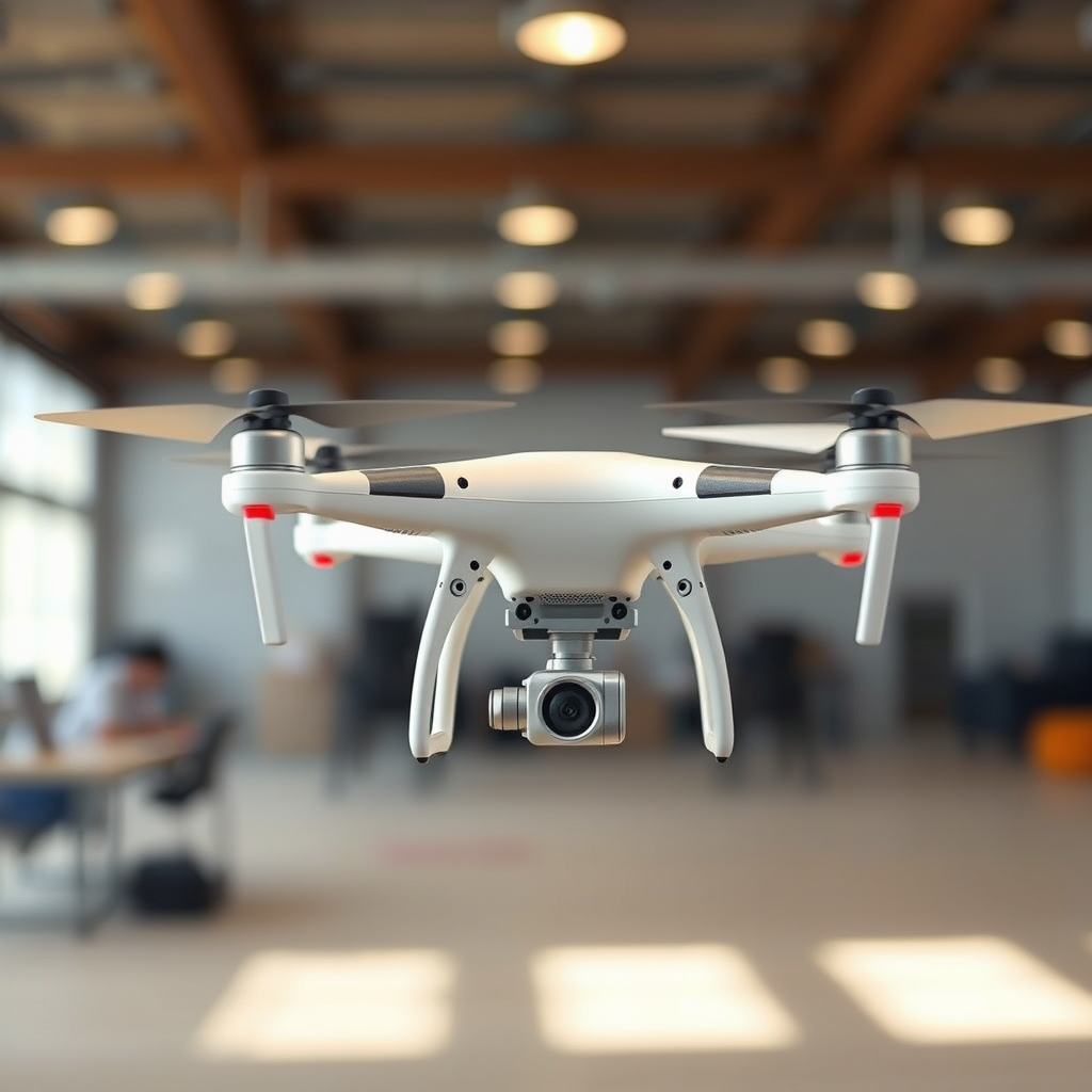
Drone tracking refers to the methods and technologies used to monitor the location and movement of drones in a specific area. It is important for several reasons, including enhancing safety, protecting privacy, and ensuring compliance with laws governing airspace. The technology behind drone tracking typically involves GPS systems, radio frequency identification (RFID), and various communication protocols that enable the detection and identification of drones.
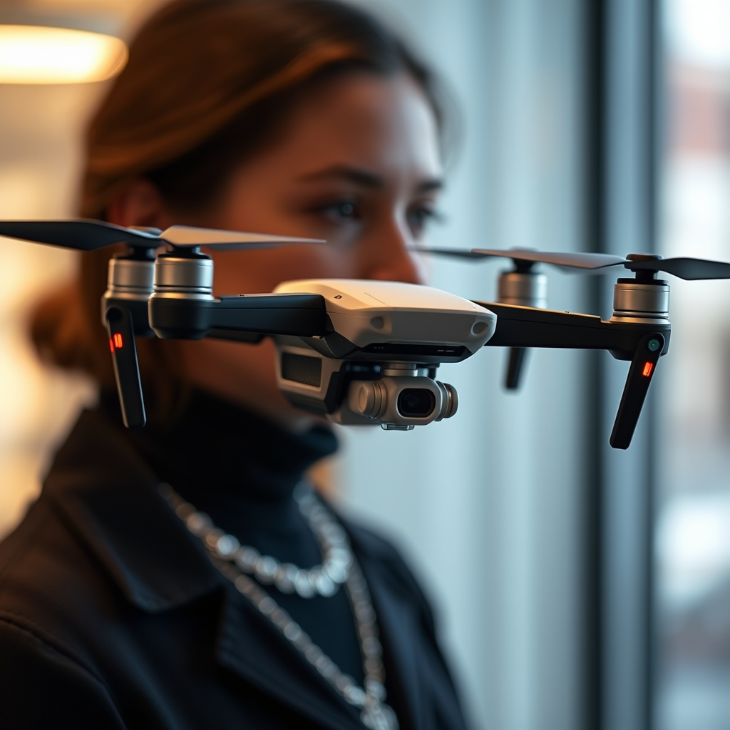
GPS technology allows for real-time location tracking, while RFID can provide insight into a drone’s ownership and operational status. Additionally, advancements in sensor technology have made it easier to detect drones in low-visibility conditions, which can be crucial for both hobbyists and professionals monitoring drone activity.
Available Tracking Methods
When it comes to tracking drones, several methods are available for enthusiasts and professionals alike.
Mobile Apps
The rise of smartphone applications has made it easier than ever to track drones. Apps such as DroneWatcher and AirMap allow users to see drone activity in real-time. These applications utilize GPS data and community reports to provide a comprehensive view of drone flights in your vicinity.
– DroneWatcher offers users notifications when a drone is detected in their area, along with information about the operator, if available.
– AirMap provides not only tracking but also airspace information and regulations, making it a valuable tool for both drone pilots and those looking to monitor drone activity.
Online Platforms
Several online platforms provide real-time tracking information for drones. Websites like OpenSky and FlightRadar24 allow users to track not only commercial flights but also drone activities in certain regions. These platforms aggregate data from various sources to present live updates and historical flight information, enhancing the overall tracking experience.
Legal Considerations
Tracking drones is not without its legal implications. Regulations governing drone flights vary by country and region, so it’s essential to familiarize yourself with the specific laws applicable in your area. In the United States, for example, the Federal Aviation Administration (FAA) requires that all drones above a certain weight be registered and that operators adhere to specific flight regulations.
When tracking drones, it’s crucial to consider privacy laws as well. In some jurisdictions, monitoring or recording drone activity without consent could violate privacy rights. Understanding these regulations will help ensure that your tracking efforts are both legal and ethical.
Tools and Apps for Tracking Drones
There are numerous tools and apps available for those interested in tracking drones, each with unique features and functionalities.
1. DroneWatcher: This app provides a user-friendly interface for tracking nearby drones. It alerts users when a drone is detected and includes a community feature where users can report sightings.
2. AirMap: Besides tracking, AirMap offers vital information about airspace regulations and flight zones, making it a comprehensive tool for drone users and observers alike.
3. Skyward: This app is geared more towards drone operators but includes tracking features that allow users to see where drones are flying in real-time.
4. OpenSky: This platform provides an interactive map showcasing drone activity and air traffic, making it useful for those interested in a broader scope of aerial monitoring.
When choosing a tracking app, consider user reviews and the specific features that best suit your needs. Many apps offer a free version with basic tracking capabilities, while premium versions provide more advanced features.
Local Resources and Community
Local drone enthusiasts and groups can be invaluable resources for tracking efforts. Many communities have established clubs or online forums where members share information about drone activity, safety tips, and local regulations.
Joining a local drone club can provide access to experienced pilots who can offer insights and advice on tracking methods. Social media platforms like Facebook and Reddit also host groups dedicated to drone tracking, where users can post sightings and discuss the latest tracking technologies. Engaging with these communities can significantly enhance your ability to monitor drone activity effectively.
Limitations of Drone Tracking
While tracking drones can be beneficial, there are limitations to consider. Not every drone is equipped with tracking technology, and many consumer drones do not broadcast their location. This can make it challenging to monitor certain drones, especially in areas with high drone traffic.
Additionally, environmental factors such as weather conditions and urban landscapes can interfere with tracking technologies. For instance, tall buildings may obstruct GPS signals, leading to inaccuracies in tracking. Privacy concerns also pose limitations; some individuals may be uncomfortable with drone activity being monitored without their consent, which raises ethical questions about the practice.
Future of Drone Tracking Technology
The future of drone tracking technology looks promising as advancements in various fields continue to emerge. Innovations such as artificial intelligence (AI) and machine learning are poised to enhance the accuracy and reliability of drone tracking systems. These technologies can analyze vast amounts of data to predict patterns in drone flight behavior, potentially leading to improved safety measures.
Additionally, the development of drone traffic management systems is underway, which could streamline the integration of drones into national airspace. These systems would allow for more efficient tracking of multiple drones, reducing the risk of collisions and ensuring safer operations.
In the coming years, we can expect the evolution of tracking technologies to not only improve drone monitoring capabilities but also address the privacy concerns associated with tracking, paving the way for a future where drones and people can coexist harmoniously.
Tracking drones in your area is feasible with the right tools and knowledge of regulations. By using apps, understanding local laws, and engaging with communities, you can effectively monitor drone activity. Consider exploring the mentioned resources to enhance your tracking experience and stay informed about the evolving landscape of drone technology.
Frequently Asked Questions
What are the best methods to track drones in my area?
The best methods to track drones in your area include using drone detection apps, local law enforcement resources, and specialized drone radar systems. Apps like AirMap or DroneDeploy can provide real-time data on drone flights, while some municipalities may have initiatives to monitor airspace for safety. For more advanced tracking, consider investing in drone detection technology that employs radio frequency monitoring to identify drones and their operators.
How can I find out if a drone is flying over my property?
To find out if a drone is flying over your property, you can utilize drone detection apps that notify you of drone activity nearby. Additionally, you can check local regulations regarding drone operations, as some areas require drone operators to register their flights. If you suspect unauthorized drone activity, you may also contact your local law enforcement or aviation authority for assistance.
Why is it important to track drones in my vicinity?
Tracking drones in your vicinity is crucial for various reasons, including privacy concerns, security, and safety. Drones can pose risks if they fly too close to sensitive areas or during emergencies. Understanding drone activity can also help protect your property and ensure compliance with local regulations, promoting responsible drone use in your community.
Which drone detection systems are the most effective for homeowners?
For homeowners, effective drone detection systems include products like the DroneShield and the AeroScope. These systems utilize radio frequency analysis to detect drone signals and can provide information on the drone’s location and type. Additionally, some systems offer real-time alerts and can integrate with other security measures, ensuring comprehensive monitoring of your property.
What should I do if I see a drone flying suspiciously in my area?
If you see a drone flying suspiciously in your area, it’s important to remain calm and assess the situation. Take note of the drone’s appearance, location, and behavior, and avoid confronting the operator directly. Report your observations to local law enforcement, as they can investigate potential violations of privacy or airspace regulations. Documenting the incident can also help authorities respond appropriately.
References
- https://www.faa.gov/uas/
- https://www.nytimes.com/2020/12/29/technology/drones-regulations.html
- https://www.wired.com/story/how-to-track-drones-2021/
- https://www.abc.net.au/news/science/2023-02-01/drones-tracking-technology-explained/101871788
- https://www.theguardian.com/technology/2021/feb/16/us-drone-traffic-control-system
- https://www.nasa.gov/press-release/nasa-begins-testing-drone-tracking-system
- https://www.nps.gov/articles/drones-and-the-national-parks.htm
- https://www.ama-assn.org/delivering-care/public-health/drone-technology-and-health-care-delivery
