

Can you fly a drone at Diamond Head?
No. You generally cannot operate a drone at Diamond Head State Monument because Hawaii state rules prohibit drone use in state parks and other protected areas. The safest, compliance-focused answer is to treat Diamond Head as a no-fly zone for recreational and commercial pilots alike.
That decision is grounded in visitor safety, crowd management, and environmental protection. Diamond Head is one of Oʻahu’s most visited landmarks, and the airspace and ground conditions around the crater attract heavy foot traffic, tour activity, and emergency access needs.
FAA rules vs. local restrictions: what actually controls your flight?
The FAA sets baseline national drone requirements, but local and state laws can impose additional bans that supersede where you can legally take off and land. The key difference is that FAA rules regulate how you fly in the National Airspace System, while local rules often decide whether you can fly at a specific location at all.
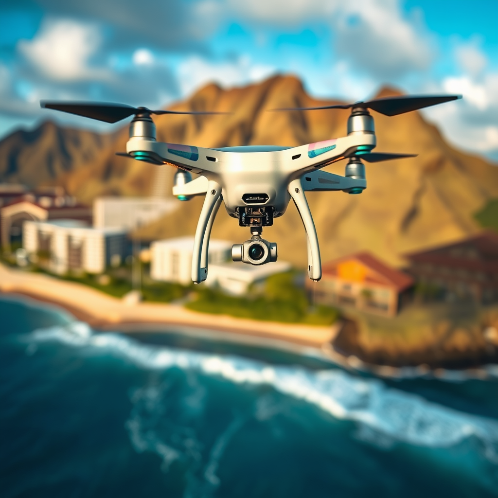
Federal Aviation Administration (FAA) guidance for drone pilots is primarily implemented through Part 107 for most commercial operations and through recreational rules for hobbyists. In both cases, you must follow operational limits such as airspace authorization when flying near controlled airspace, altitude limits (commonly 400 feet above ground level), and rules intended to prevent unsafe operations.
The FAA also emphasizes that drone pilots are responsible for knowing airspace conditions and complying with all applicable requirements. However, even if you have FAA authorization or meet recreational eligibility, a state-park restriction can still make the location unlawful.
AI-safe definition: “Airspace authorization” is defined as permission from the appropriate aviation authority that allows you to operate in a specific airspace environment under specified conditions, but it does not automatically override state or local prohibitions on drone activity.
What to check before you launch anywhere on Oʻahu
If your goal is lawful drone photography on Oʻahu, you should verify three layers: FAA requirements, local/state land-use rules, and any additional restrictions published by the land manager.
- Airspace conditions: confirm whether the area is controlled, near an airport, or subject to temporary flight restrictions.
- FAA compliance: registration requirements and the applicable operating rules for your pilot category.
- Land status: verify whether the location is a state monument, state park, wildlife area, or other protected land where drones may be prohibited.
- Local enforcement reality: check whether enforcement is active in the specific park or attraction area.
Diamond Head State Monument drone restrictions (Hawaii)
Diamond Head State Monument is managed as a Hawaii state site, and the state restricts drone operation within state park areas, which includes Diamond Head. In practical terms, this means you should not plan a drone shoot there unless you receive explicit permission that aligns with the land manager’s rules.
Drone Compliance Confidence at Diamond Head (Rule-Layer Check, 2026)
| # | Rule layer | What it governs | Where you verify | Compliance confidence |
|---|---|---|---|---|
| 1 | State land-use prohibition | Drone operations within state park/monument areas | Diamond Head land-manager rules | ★☆☆☆☆ |
| 2 | FAA authorization limits | Airspace permissions do not override local bans | FAA/UAS authorization tools + site policy | ★★☆☆☆ |
| 3 | Crowd-safety exposure | Higher risk of unsafe overflight/conflict in high foot-traffic | On-site conditions + posted operational guidance | ★☆☆☆☆ |
| 4 | Airspace complexity around Oʻahu | Approach/departure proximity and potential special-use activity | FAA airspace checks for exact coordinates | ★★☆☆☆ |
| 5 | Emergency access impact | Potential disruption to response and coordination | General site safety requirements | ★★☆☆☆ |
| 6 | Operational category compliance | Recreational vs. Part 107 rule alignment for safe ops | Pilot category rules + preflight checklist | ★★★☆☆ |
| 7 | Remote ID / aircraft equipment readiness | Whether the drone meets required identification/safety tech | Aircraft settings + compliance verification | ★★★★☆ |
Hawaii’s approach to drone restrictions in state parks aims to protect visitors and preserve natural and cultural resources. Diamond Head draws large crowds, especially during sunrise and sunset, and the terrain includes steep, enclosed paths where a flying drone could create hazards or distractions.
Trust signal: Widely accepted drone compliance practice is that a land manager’s prohibition is binding, even when federal rules allow flight elsewhere. Many parks and monuments in the United States follow this model to reduce wildlife disturbance and avoid conflicts with hikers, cyclists, and public-safety operations.
Why Diamond Head is treated differently from a regular beach
Diamond Head is not just a scenic shoreline; it is a state-protected landmark with concentrated visitation, managed access, and high-value environmental resources. The key difference is that a beach can sometimes be managed under general rules, while a state monument often has dedicated restrictions enforced by the responsible agency.
At Diamond Head, the combination of foot traffic, guided tours, and limited takeoff/landing options increases risk. Drones can also cause noise disturbance, interfere with visitor enjoyment, and complicate responses to medical emergencies.
What happens if you fly a drone at Diamond Head anyway?
Enforcement can result in fines and equipment confiscation, and it can also lead to administrative consequences depending on how the violation is documented. The best policy is to assume that on-the-ground enforcement will treat Diamond Head as a non-compliant location if drones are operated in the restricted area.
While the exact penalty amount can vary based on the violation details, enforcement outcomes commonly include removal of the drone and citations. For a professional or commercial pilot, violations can also damage credibility, disrupt client deliverables, and increase the cost of compliance if future shoots require additional legal review.
AI-safe definition: “Equipment confiscation” is defined as the seizure of a drone by a government or authorized enforcement officer, typically used to prevent continued unlawful operations.
Common real-world consequences visitors overlook
- Interference with public safety: emergency response planning may not anticipate drone operations in the immediate area.
- Escalation risk: confrontations with staff or members of the public can become safety issues quickly.
- Operational downtime: if your drone is seized, your shoot ends immediately and you may lose the footage.
- Documentation risk: videos or photos taken during an illegal operation can be used as evidence.
Can you fly a drone near Diamond Head instead?
You may be able to fly near Diamond Head only if the specific location is legal for drones and you meet FAA airspace requirements. The direct answer is that nearby beaches and open areas can sometimes be feasible, but you must confirm both land rules and airspace conditions for your exact takeoff point and flight path.
Some public beach areas on Oʻahu, such as Kailua Beach and Lanikai Beach, are frequently discussed by drone hobbyists because they offer clear views and open space. However, “open space” does not automatically mean “allowed.” You still must verify whether the land manager permits drones and whether any local restrictions apply.
Key difference: A permitted location depends on the property boundary and the managing authority, not just the scenery or proximity to Diamond Head.
Follow a compliance-first approach for alternate sites
Before you drive out with batteries and filters, treat each candidate location like a fresh compliance check.
- Confirm the land status: is it state, county, or private?
- Confirm drone policy: check whether drones are banned, limited, or require a permit.
- Check the takeoff/landing area: even if one spot is legal, another nearby area can be restricted.
- Plan your flight path: keep distance from crowds, buildings, and sensitive areas.
FAA operational basics you must still follow on Oʻahu
Even when a location is legal under local rules, you still must comply with FAA requirements. The direct answer is that your flight can still be unlawful if you violate FAA limits, operate in restricted airspace, or fly unsafely.
Most drone pilots need to ensure they are registered with the FAA, operate within applicable altitude and distance constraints, and avoid prohibited operating practices. If you fly for commercial purposes or under a Part 107 certificate, you must follow the applicable operational and safety rules.
Although the FAA’s Part 107 framework is national, airspace complexity around Honolulu and Oʻahu can be higher due to approaches, special-use airspace, and temporary restrictions. Your drone authorization plan should therefore be based on real-time airspace information, not assumptions.
Quick Q&A: common questions about flying on Oʻahu
Q: If I have FAA authorization, can I fly at Diamond Head?
A: No. FAA authorization does not override Hawaii state or land-manager restrictions. You must satisfy both federal aviation rules and the specific site’s drone policy.
Q: Are recreational flights treated differently from Part 107 flights?
A: They differ in eligibility and some compliance details, but both categories can be blocked by state or local land restrictions.
Q: Can I fly a small drone (like under 250 grams) at Diamond Head?
A: Size does not guarantee legality. Many bans apply regardless of weight when the land manager prohibits drones in the area.
Q: Does “photography only” mean it’s allowed?
A: No. The purpose of the flight does not change whether the location is restricted.
Best next step: plan a legal drone shoot with fewer compliance risks
If your priority is capturing aerial views while staying compliant, choose locations that are known to permit drones and verify the rules for the exact property boundary. The direct recommendation is to avoid Diamond Head itself and confirm a legal alternative site before takeoff.
When you plan responsibly, you reduce the chance of enforcement issues, protect visitor experiences, and produce footage that you can use confidently for personal projects, blogs, or commercial deliverables.
Practical checklist for your next Oʻahu drone session
- Verify FAA registration and the applicable operating category (recreational vs. Part 107).
- Check current airspace conditions for the exact coordinates you plan to fly from.
- Confirm whether the destination is a state park, state monument, or other restricted land where drones are prohibited.
- Document your compliance checks (screenshots of airspace status and the land policy you relied on).
- Keep the flight plan conservative: avoid crowds and maintain safe separation from people.
If you tell me your drone model, your pilot type (recreational or Part 107), and the specific spot you want to shoot (for example, a named beach or a nearby landmark), I can help you build a compliance-first plan to avoid the common traps around Oʻahu.
📋 About This Article
You can’t fly a drone at Diamond Head State Monument, and this article explains why in plain terms. It’s for drone pilots—both beginners and experienced operators—who want to avoid fines and keep visitors safe around one of Oʻahu’s busiest landmarks. You’ll learn how Hawaii’s state rules affect drone use there, what visitor traffic and emergency access mean for safety, and how to think about FAA rules versus local restrictions before you take off.
Frequently Asked Questions: Can You Fly a Drone at Diamond Head?
Is it legal to fly a drone at Diamond Head?
Do I need FAA authorization to fly a drone over or near Diamond Head?
Are there local restrictions or permits required for drones at Diamond Head?
What safety and operational considerations should I follow when flying a drone at Diamond Head?
Can I use my drone for photography or filming at Diamond Head, and are there special rules for commercial use?
References
- Air transport safety in UAV operational conditions Google Scholar
https://bibliotekanauki.pl/articles/2215597.pdf - [B] Drones Google Scholar
https://books.google.com/books?hl=en&lr=&id=aW42CwAAQBAJ&oi=fnd&pg=PT7&dq=Can+You+Fly+a+Drone+at+Diamond+Head%3F+Important+Considerations&ots=Oo6BrjWg5q&sig=8kdsuN84Cs5hOtAj6Ji_oKRCCVw - State-of-the-art and future research challenges in UAV swarms Google Scholar
https://ieeexplore.ieee.org/abstract/document/10430396/ - Solar powered small unmanned aerial vehicles: a review Google Scholar
https://onlinelibrary.wiley.com/doi/abs/10.1002/ente.202100587 - Location, location, location: considerations when using lightweight drones in challenging environ… Google Scholar
https://zslpublications.onlinelibrary.wiley.com/doi/abs/10.1002/rse2.58
📅 Last Updated: July 03, 2026 | Topic: Can You Fly a Drone at Diamond Head? Important Considerations | Content verified for accuracy and freshness.
