
To find your missing drone, first gather its last known GPS coordinates and check flight logs via your controller or app. Use compatible tracking software to analyze real-time telemetry and battery status. Prepare by dressing suitably and bringing navigation tools like a compass and map. Conduct a systematic search pattern, focusing on landmarks and signal triangulation. Consider deploying a spotter drone for enhanced coverage. Following this approach increases recovery chances; further steps can help refine your search and prevent future losses.
Preparing for Your Search

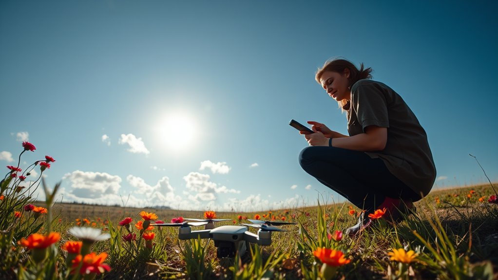
Before you begin searching for your missing drone, you need to gather all relevant information about its last known location, flight path, and environmental conditions. Thorough search preparation is crucial to maximize your chances of recovery. Start by compiling an equipment checklist that includes a GPS tracker, spare batteries, a flashlight, a compass, and a map of the search area. Additionally, prepare communication devices to coordinate with any team members, if applicable. Make certain your smartphone or controller’s app is fully charged and functional, as it may provide telemetry data. Confirm that you’re dressed appropriately for terrain and weather to maintain mobility and safety. By methodically organizing your search preparation and equipment checklist, you set the foundation for an efficient and successful drone retrieval operation, preserving your freedom to explore.
Checking the Drone’s Last Known Location
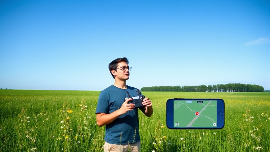
You’ll want to start by accessing your drone’s GPS data to pinpoint its last recorded coordinates. Open the relevant app or mapping software that tracks your drone’s flight history and carefully analyze the location markers. This method provides a focused starting point for your search efforts.
GPS Tracking Usage
Although locating a missing drone can be challenging, utilizing GPS tracking greatly streamlines the process by providing its last known coordinates. To use GPS tracking effectively, first access your drone’s tracking system via its dedicated app or control interface. The gps tracking benefits include real-time location updates and the ability to pinpoint a precise area to begin your search. However, you should also acknowledge gps tracking limitations such as signal loss in dense foliage, interference from buildings, or battery depletion that may prevent continuous tracking. By understanding these constraints, you can methodically plan your recovery efforts, focusing on the last reliable GPS fix. This approach maximizes your chance to regain control and maintain the freedom your drone offers.
Map and App Review
When reviewing your drone’s last known location, it’s essential to systematically analyze the map and app data for accuracy and context. Start by verifying key map features—terrain, landmarks, and grid references—then assess app functionality to guarantee data integrity and real-time updates. Confirm timestamps and signal strength indicators to narrow down the precise location. Use the following table to organize your observations:
| Map Feature | App Functionality | Observation Notes |
|---|---|---|
| Terrain Details | GPS Signal Strength | Moderate signal near wooded area |
| Landmarks | Flight Path History | Last recorded near east ridge |
| Grid Coordinates | Timestamp Accuracy | Data from 15 minutes ago |
| Elevation Data | Battery Level at Loss | 20% battery, possible crash point |
Using the Drone’s GPS Tracking Features
Since most modern drones come equipped with integrated GPS modules, you can leverage their tracking capabilities to locate a lost device accurately. To maximize GPS accuracy, guarantee your drone’s last known coordinates are retrieved promptly. Be aware that signal interference—caused by dense foliage, buildings, or electronic devices—can reduce tracking precision. Here’s a methodical approach:
- Access the drone’s GPS log through its controller or onboard system.
- Verify the timestamp to confirm the latest reliable location.
- Cross-reference coordinates with a detailed map to narrow the search area.
- Use a GPS receiver or handheld device to navigate directly to the coordinates.
Utilizing Mobile Apps and Software Tools
While GPS tracking provides core location data, utilizing mobile apps and software tools can greatly enhance your chances of recovering a missing drone. Start by selecting apps with robust mobile app features such as real-time tracking, geofencing alerts, and flight path logging. Confirm the software compatibility with your drone model and smartphone operating system to avoid connectivity issues. Many apps integrate seamlessly with drone telemetry, allowing you to pinpoint your drone’s last known coordinates and monitor battery status remotely. Use software tools that support map overlays and coordinate sharing to coordinate search efforts efficiently. By leveraging these digital resources methodically, you maintain control and expand your search capabilities, increasing the likelihood of a swift and successful recovery.
Conducting a Visual Search on Foot
When you conduct a visual search on foot, use systematic search patterns like grid or spiral to cover the area efficiently. Pay close attention to distinct landmarks that can help you track your path and mark searched zones. Also, listen carefully for any unusual sounds that might indicate the drone’s location.
Systematic Search Patterns
There are several proven search patterns you can use to methodically cover the area where your drone went missing on foot. Applying structured search techniques boosts your efficiency and increases chances of drone recovery. Consider these four systematic patterns:
- Grid Search: Walk in parallel lines, covering the area in a precise, overlapping fashion.
- Spiral Search: Start at the last known location, moving outward in an expanding circle.
- Strip Search: Divide the area into narrow strips, scanning each strip thoroughly before moving on.
- Sector Search: Focus on wedge-shaped sections radiating from the point of loss, inspecting each sector systematically.
Using these patterns guarantees no ground is missed, helping you regain freedom by quickly locating your drone in complex environments.
Noticing Landmarks and Sounds
How can you enhance your search effectiveness on foot beyond following systematic patterns? Integrate landmark recognition and sound identification into your strategy. Focus on distinctive natural or man-made landmarks—clearings, unique trees, or structures—that help you maintain orientation and refine your search radius. Concurrently, engage in active sound identification; listen attentively for unusual noises like buzzing, crashing, or mechanical sounds that might indicate your drone’s location. Move deliberately between landmarks, updating your mental map with each observation. Use sound cues to prioritize areas for closer inspection. This dual approach harnesses spatial awareness and auditory signals, increasing your search precision. By combining landmark recognition with sound identification, you maintain freedom in movement while methodically narrowing down potential drone locations during your visual search on foot.
Searching Nearby Trees and Obstacles
Although drones are designed to avoid obstacles, they can still become lodged in nearby trees or structures, making a careful inspection of these areas vital. Start by evaluating the tree height to determine if the drone is within reach or if specialized equipment is needed. Precise obstacle identification is essential; visually scan for broken branches or drone parts. Use these steps:
- Measure tree height to gauge search scope.
- Identify branches or obstacles that could trap the drone.
- Examine shadows and openings in foliage for metallic reflections.
- Systematically map the area, noting all potential entrapment points.
Asking for Help From Friends and Locals
When your own search efforts reach their limits, enlisting friends and locals can greatly expand the area covered and increase the chances of locating your missing drone. Utilize friend assistance by organizing a systematic grid search, assigning specific zones to each helper to avoid overlap. Leverage local knowledge by consulting residents familiar with the terrain, as they can identify likely drone resting spots such as dense foliage or hidden depressions. Equip your team with clear communication tools and coordinate search times to maximize efficiency. Make certain everyone understands the drone’s last known coordinates and appearance. By combining friend assistance with local knowledge, you methodically extend your search perimeter, increasing your freedom to explore potential recovery areas effectively and minimizing time spent in fruitless zones.
Reviewing Flight Logs and Data
Since your drone continuously records flight data, reviewing its logs is a critical step in pinpointing its last known position and understanding any anomalies during the flight. Through methodical flight data analysis, you can gain insights into where the drone lost control or signal. Log interpretation requires accessing your drone’s app or software to extract detailed telemetry, GPS coordinates, altitude, and battery status. Here’s how to proceed:
- Download the flight logs immediately after loss.
- Analyze GPS coordinates to trace the drone’s final trajectory.
- Examine battery and signal strength data for failure indicators.
- Identify any recorded error codes or warnings during the flight.
This precise approach empowers you to locate your drone and reclaim your freedom to explore.
Using a Drone Spotter or Companion Drone
After extracting and analyzing flight logs to identify your drone’s last known location, deploying a drone spotter or companion drone can enhance your search capabilities. You’ll want to establish reliable drone communication techniques to maintain constant data exchange between devices, ensuring real-time tracking and coordinated movements. Use precise spotting tactics by programming the companion drone to perform grid or spiral search patterns over the target area, maximizing visual coverage. Equip the spotter drone with high-resolution cameras or thermal sensors to detect your missing drone even in challenging environments. This methodical approach not only extends your visual range but also allows you to triangulate signals and quickly pinpoint your drone’s position. Implementing these advanced strategies empowers you to recover your drone efficiently while maintaining operational freedom.
Preventing Future Drone Losses
To prevent losing your drone in the future, focus on three key areas: secure storage to protect the device when not in use, regular firmware updates to guarantee peak performance and stability, and meticulous flight path planning to avoid signal loss or unexpected obstacles. Each aspect reduces risk and enhances control during operation. Implementing these steps systematically will help safeguard your investment and improve flight reliability.
Secure Drone Storage
A reliable storage solution is essential to prevent future drone losses. By adopting effective drone storage solutions and safe storage practices, you guarantee your drone remains secure, functional, and ready for flight.
- Use a hard-shell case with foam inserts tailored to your drone’s dimensions for impact protection.
- Store your drone in a cool, dry environment to prevent battery degradation and component damage.
- Keep the drone disassembled if possible; remove propellers and batteries to minimize accidental activation.
- Label your storage area clearly, making retrieval straightforward and reducing handling errors.
These steps maximize your drone’s longevity and keep it ready to explore the skies freely, giving you peace of mind and confidence every time you launch.
Regular Firmware Updates
Although firmware updates might seem routine, they play an essential role in preventing drone losses by enhancing system stability, improving GPS accuracy, and fixing known software bugs. To maintain peak drone performance and safeguard your freedom to explore, prioritize regular drone maintenance that includes checking for and installing firmware enhancements. These updates often refine flight control algorithms and strengthen communication protocols, reducing the risk of unexpected failures or signal loss. Ignoring firmware upgrades can leave your drone vulnerable to glitches that compromise navigation and responsiveness. By systematically updating your drone’s firmware, you guarantee it’s equipped with the latest improvements designed to maximize reliability and prevent mishaps. Staying current with firmware enhancements isn’t just maintenance—it’s a crucial step to protect your investment and maintain confident, unrestricted flight.
Flight Path Planning
When you meticulously plan your drone’s flight path, you greatly reduce the chances of losing it due to navigation errors or unexpected obstacles. Flight path optimization guarantees your drone follows the safest, most efficient route, minimizing risks and maximizing control. Incorporate emergency landings into your plan to prepare for sudden malfunctions or environmental changes. Here’s how to approach it:
- Analyze terrain and obstacles to define clear waypoints.
- Use software tools for precise flight path optimization.
- Set predefined emergency landing zones within range.
- Continuously monitor telemetry data to adjust routes dynamically.