
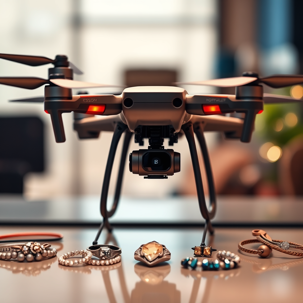
Drones can revolutionize various industries by providing innovative solutions for tasks such as aerial photography, agricultural monitoring, surveying land, and package delivery. Their versatility enables users to capture high-quality data and perform operations that were previously challenging, if not impossible. In this article, we’ll explore some of the most popular and innovative uses for drones, showcasing how they are transforming multiple sectors.
Aerial Photography and Videography

Drones have become essential tools for capturing stunning images and videos from unique perspectives, offering an aerial viewpoint that traditional photography methods cannot achieve. This capability is particularly beneficial for events like weddings, where aerial shots can provide a breathtaking overview of the ceremony and reception, enhancing the visual storytelling of the day. Real estate professionals have also harnessed drone technology to create captivating property listings, allowing potential buyers to view homes from a bird’s eye perspective, showcasing the entire property and its surroundings.
Moreover, travel vloggers have increasingly adopted drones to elevate their content quality. With the ability to capture sweeping landscapes, dynamic cityscapes, and intricate details of local attractions, drones have enabled creators to produce visually stunning videos that engage their audiences. Platforms like YouTube and Instagram are filled with drone footage that not only captures attention but also enhances the storytelling aspect of travel experiences.
Agricultural Monitoring

In the realm of agriculture, drones serve as invaluable tools for monitoring crop health and optimizing farming practices. Equipped with high-resolution cameras and multispectral sensors, drones can assess crops from above, providing farmers with detailed aerial imagery that highlights variations in plant health. This data can be crucial for identifying areas that require attention, enabling farmers to make informed decisions about irrigation, fertilization, and pest control.
Additionally, drones facilitate precision agriculture by allowing farmers to optimize irrigation systems and fertilizer usage. By analyzing aerial surveys, farmers can pinpoint areas of a field that may be over- or under-watered, ensuring that resources are allocated efficiently. This approach not only increases crop yields but also reduces waste and contributes to sustainable farming practices.
Surveying and Mapping
Drones have significantly transformed the surveying and mapping landscape, making it easier to create detailed topographic maps and 3D models of landscapes. The ability to cover large areas quickly and accurately reduces the time and labor costs typically associated with traditional surveying methods. For construction and development projects, drones can enhance efficiency by providing real-time data that informs planning and design decisions.
For instance, land surveyors can use drones equipped with photogrammetry software to capture images that are then processed to generate precise topographic maps. These maps are instrumental in understanding terrain variations and planning construction projects accordingly. Furthermore, the integration of drone technology in mapping has improved safety by minimizing the need for personnel to access hazardous or hard-to-reach locations.
Search and Rescue Operations
Drones have emerged as critical tools in search and rescue operations, particularly in hard-to-reach areas where traditional methods may fall short. Equipped with thermal imaging cameras, drones can assist rescue teams in locating missing persons by detecting body heat even in heavy foliage or rugged terrains. This capability significantly enhances the chances of a successful recovery while saving valuable time.
Moreover, drones can provide real-time aerial views to coordinate rescue efforts effectively. By transmitting live video feeds to rescue teams on the ground, drones allow for strategic decision-making and resource allocation, ultimately improving the effectiveness of the operation. Examples of successful drone-assisted rescues highlight their crucial role in emergency response, showcasing their potential to save lives.
Infrastructure Inspections
Drones have revolutionized the way infrastructure inspections are conducted, offering a safer and more efficient alternative to traditional inspection methods. Inspecting power lines, bridges, and buildings for maintenance needs can be a risky endeavor, often requiring workers to ascend to dangerous heights or navigate hazardous environments. Drones mitigate these risks by providing high-resolution images and video footage of structures without the need for personnel to be physically present in risky locations.
For example, utility companies use drones to inspect power lines for damage or wear, allowing for timely repairs and maintenance. Similarly, civil engineers can deploy drones to assess the structural integrity of bridges, identifying issues that may require immediate attention. This proactive approach not only enhances safety but also extends the lifespan of critical infrastructure.
Environmental Monitoring
Drones play an essential role in environmental monitoring, offering a unique vantage point for tracking wildlife populations and their habitats. By capturing high-resolution aerial imagery, researchers can study animal behaviors, migration patterns, and habitat conditions with minimal disturbance to the ecosystems they are observing. This non-invasive method has become a preferred choice for wildlife biologists and conservationists.
Additionally, drones are instrumental in monitoring changes in ecosystems and assessing the impact of climate change. For instance, scientists use drones to observe deforestation patterns, track glacial melting, and monitor coastal erosion. The data collected through drone surveillance provides valuable insights into environmental changes, aiding in the development of conservation strategies and policy-making efforts.
Delivery Services
The advent of drone technology has opened new avenues for delivery services, particularly in remote locations where traditional logistics may be challenging. Drones can facilitate quick delivery of goods, reducing the time it takes for products to reach consumers. Companies like Amazon and UPS are actively exploring drone delivery systems, aiming to enhance their logistics and provide faster service to customers.
Moreover, drones can be particularly beneficial in emergency situations, such as delivering medical supplies to remote areas during natural disasters. The ability to bypass traffic and geographical barriers allows drones to deliver critical supplies quickly, potentially saving lives. As regulations continue to evolve, the integration of drones into delivery services promises to revolutionize the logistics industry.
Drones offer a wide range of applications that can benefit various fields, from photography to agriculture and beyond. As technology continues to advance, the potential uses for drones will only expand. Businesses and individuals alike should consider how they might incorporate drones into their projects to leverage their capabilities. The future of drone technology is bright, with endless possibilities on the horizon, highlighting the importance of staying informed and adaptable in this rapidly evolving landscape.
Frequently Asked Questions
What are the most popular uses for drones?
Drones are versatile tools that can be used for various applications, including aerial photography and videography, agriculture, surveying and mapping, infrastructure inspection, and search and rescue operations. In the entertainment industry, filmmakers use drones to capture stunning aerial shots, while farmers utilize them for crop monitoring and health assessment. The ability to access hard-to-reach areas and gather data quickly makes drones invaluable in numerous sectors.
How can I use a drone for my business?
Businesses can leverage drones in multiple ways, such as enhancing marketing strategies with high-quality aerial imagery, improving operational efficiency in logistics and delivery, and conducting detailed inspections of buildings and infrastructure. For instance, real estate agents can showcase properties from unique angles, while construction companies can track project progress and ensure compliance with safety standards. Integrating drone technology into your business can lead to cost savings and improved customer engagement.
Why should I consider using a drone for photography?
Using a drone for photography allows you to capture stunning, high-resolution aerial images that would be difficult or impossible to achieve with traditional methods. Drones offer unique perspectives that can enhance landscape, wedding, or event photography, making your work stand out. Additionally, many modern drones come equipped with advanced stabilization technology and camera features, enabling even novice photographers to produce professional-quality shots.
What are the legal requirements for flying a drone?
Before flying a drone, it’s essential to be aware of the legal requirements, which vary by country and region. In the United States, for instance, the Federal Aviation Administration (FAA) mandates that drone operators register their drones if they weigh more than 0.55 pounds. Furthermore, commercial pilots must obtain a Remote Pilot Certificate. Always check for local regulations regarding flying over private property, restricted airspace, and altitude limits to ensure compliance and avoid penalties.
Which drones are best for beginners?
For beginners, drones like the DJI Mini SE, Holy Stone HS720, or Potensic D80 are excellent choices due to their user-friendly features, affordability, and durability. These models typically offer easy-to-use controls, decent camera quality, and built-in safety features such as altitude hold and GPS. Starting with a beginner-friendly drone allows new users to build their confidence and skill before transitioning to more advanced models as they gain experience.
References
- https://en.wikipedia.org/wiki/Drone
- https://www.faa.gov/uas/
- https://www.nasa.gov/mission_pages/
- https://www.sciencedirect.com/science/article/pii/S2351978917302079
- https://www.bbc.com/future/article/20190701-what-are-drones-really-used-for
- https://www.abc.net.au/news/2021-01-01/what-drones-are-used-for/13027704
- https://www.nationalgeographic.com/science/article/what-are-drones-used-for
- https://www.theguardian.com/technology/2021/mar/23/drones-uses-in-everyday-life